Mount Kobyla
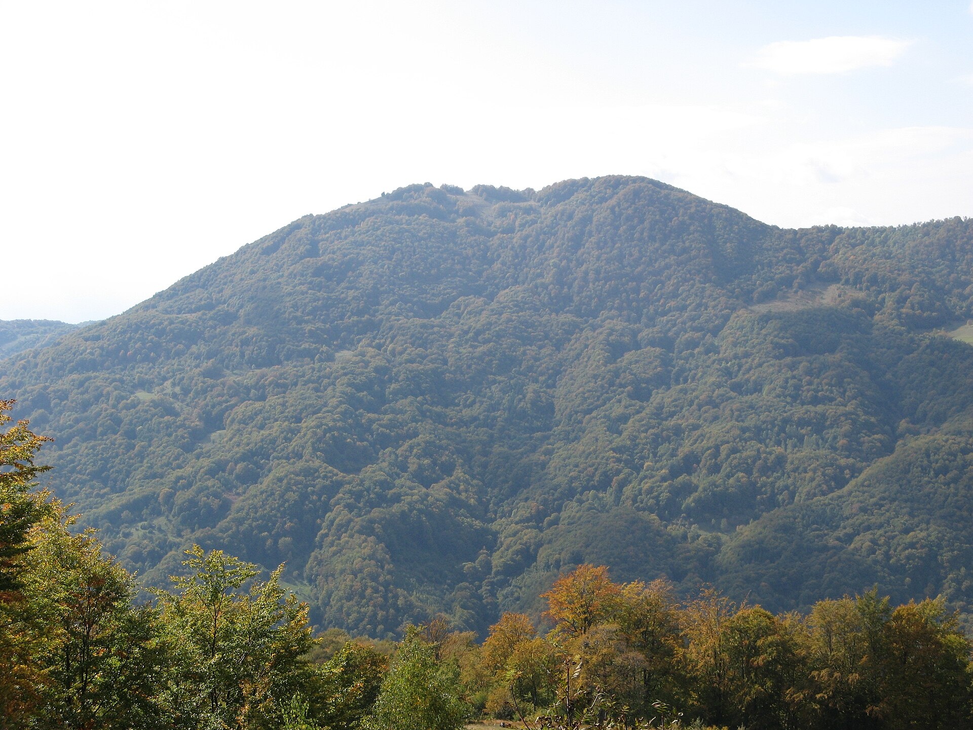
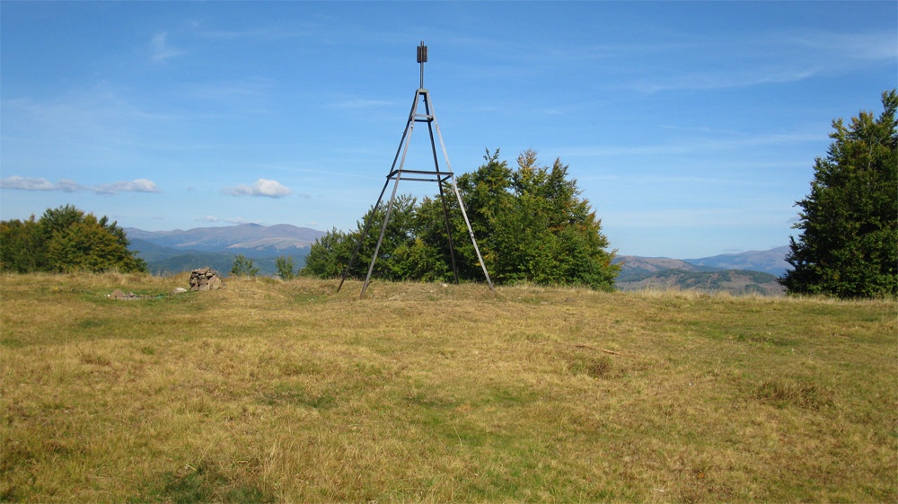
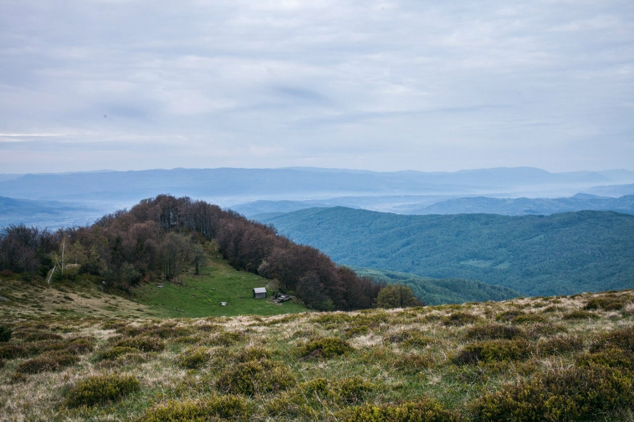
Kobyla is a 1,177 m mountain in the Rakhiv district of Zakarpattia Oblast. At its foot lie the settlement of Kobyletska Poliana (to the north-west) and the village of Kosivska Poliana (to the south-east), and the Kobyletskyi Pass lies south of the summit. Rakhiv is about 9 km away as the crow flies.
The western, southern and eastern slopes are very steep and forested; only the northern slope descends gently to a saddle, from which a ridge runs north as far as the Svydovets massif. The summit itself is treeless: a mountain meadow (polonyna) with a good view of Kosivska Poliana.
How to get there
Our site has no marked route to Kobyla yet. The easiest starting points are Kobyletska Poliana and Kosivska Poliana, both 3–3.5 km from the summit as the crow flies. The gentlest approach is from the north along the saddle, as the other slopes are very steep. There are hotels and tourist bases around the mountain, and a 500 m T-bar lift runs on one of the slopes.
Water, shelter and safety
Our map shows a spring near Kobyletska Poliana about 1 km from the summit and a weather shelter at a similar distance; down in the valleys, 2–2.4 km away, there are several mineral springs, including “Narzan”. A small cabin for hikers and shepherds stands on the summit. Carry water for the climb and take care on the steep slopes after rain. In an emergency call 112 or 101 — contacts of the nearest units are on the mountain rescue page.
Interesting facts
- A local legend in Kobyletska Poliana says that after Hungarian soldiers defeated the opryshky (outlaws), a mare carrying four sacks of their gold climbed the mountain and vanished into a cave — giving its name to both the mountain and the village.
- The mountain is rarely crowded: by local estimates a few dozen hikers reach the summit each month, up to a hundred in the busiest ones.
Photos: MSha, CC BY-SA 3.0; Велика україна, CC BY-SA 3.0; АТОЖГОд, CC BY-SA 4.0 — Wikimedia Commons.
Location on the map
Comments
Places to stay nearby
 CottageHomestead "U Ivanky"19 km from Mount KobylaKitchenWi‑FiNearby: Mt Sheshul 7.1 kmNyzhnyi Huk waterfall 9.2 km44 trails
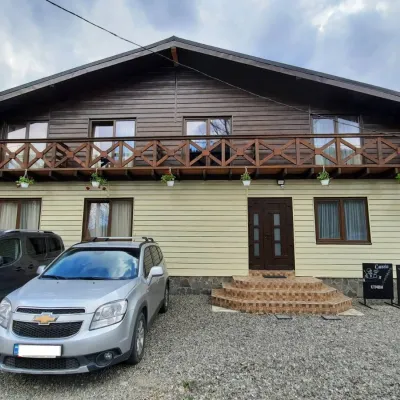 HotelCube (KUB)19 km from Mount KobylaBBQParkingWi‑FiNearby: Mt Sheshul 7.2 kmMt Bliznytsia 8.6 km44 trails
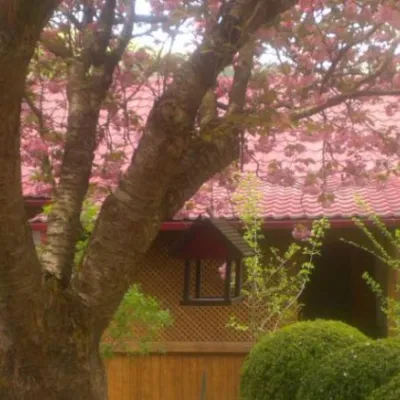 HotelComplex "Kvasny"2.8 km from Mount KobylaSauna
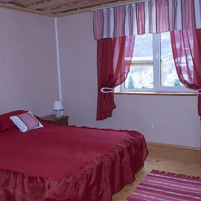 HotelComplex "Sadiba Lazok"2.8 km from Mount KobylaSaunaKitchenKids
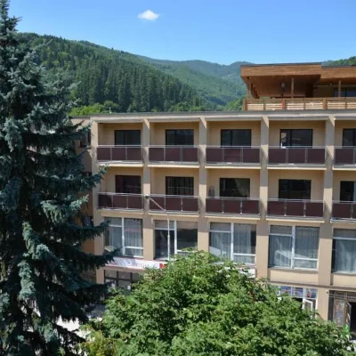 HotelHotel "Rakhiv"8.1 km from Mount KobylaWi‑FiPetsTransferNearby: Church of St. John Nepomuk 500 mNyzhnyi Huk waterfall 7.5 km12 trails
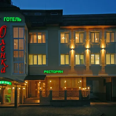 HotelHotel "Olenka" Rakhiv8.1 km from Mount KobylaKitchenParkingWi‑FiNearby: Church of St. John Nepomuk 400 mNyzhnyi Huk waterfall 7.4 km12 trails
Trails nearby
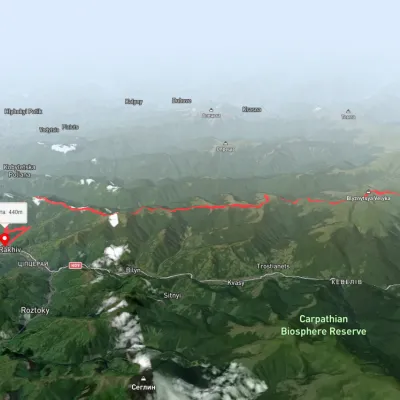 HardMulti-dayUnmarkedDragobrat to Rakhivvia Mount BlyznytsiaElevation profile457–1 857 m37 kmascent 746 m≈ 10.5 h walking7.3 km from Mount Kobyla
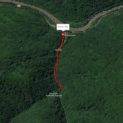 EasyOne-dayMarkedTo Sokolyne BerdoElevation profile357–436 m2.3 kmascent 21 m≈ 30 min walking10 km from Mount Kobyla
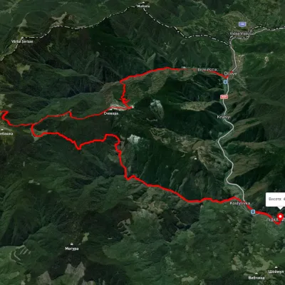 HardMulti-dayUnmarkedDilove village to Kostylivka villagevia Mount Pip Ivan MarmaroskyiElevation profile343–1 532 m37.9 kmascent 2 750 m11 km from Mount Kobyla
Nearby attractions
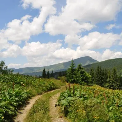 SightCarpathian Biosphere Reserve5.7 km from Mount KobylaThere are many interesting places in Ukraine, but the Carpathian Biosphere Reserve, which is located in the heart of the Carpathians, is undoubtedly worthy of special...
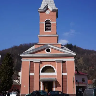 ArchitectureChurch of St. John Nepomuk, Rakhiv8.5 km from Mount KobylaJohn Nepomuky is one of the main architectural monuments of the small town of Rakhiv, Transcarpathian region.
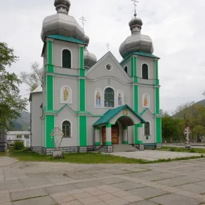 SightCathedral of the Descent of the Holy Spirit, Rakhiv8.6 km from Mount KobylaThe three-domed church with a solemn main façade was built on the main square of Rakhiv from 1991 to 1993 according to the design of Rakhiv architect Mykhailo Kravchuk.