Mount Velyka Budychevska
Velyka Budychevska is a 1,678 m mountain (1,677.9 m exactly) on the main crest of the Chyvchyn Mountains, the north-eastern range of the Marmarosh Massif. The summit lies in the Verkhovyna district of Ivano-Frankivsk Oblast, south of Burkut, and the Ukrainian–Romanian border runs across it. To the east rises the highest peak of the Chyvchyn Mountains, Chyvchyn (about 3.3 km away).
The foot and slopes of the mountain are forested, with mountain pastures higher up. The slopes are steep and several spurs branch off the summit, the long north-eastern one standing out. To the south-west, already on the Romanian side, a side ridge runs towards Budescul Mic (Mala Budychevska).
How to get there
Our site has no separate route to the summit, and the Chyvchyn Mountains have almost no waymarked paths today. About 170 m from the top runs our long traverse Dilove – Pip Ivan Marmaroskyi – Chyvchyn – Shybene – Pip Ivan Chornohirskyi – Hoverla – Hoverla village (162.3 km), so Velyka Budychevska is easy to add on a hike through the Marmarosh and Chyvchyn mountains. The nearest settlement is Burkut, about 8 km away as the crow flies.
Water, shelter and safety
Our map shows a spring about 1.1 km from the summit at roughly 1,500 m, and several more about 2.7 km away. At a similar distance (about 2.7 km) stand a shepherds’ hut on Polonyna Starostaia and a hunters’ lodge below Mount Chyvchyn, both reported to be in good condition. The mountain sits on the state border: carry your passport, do not cross to the Romanian side and check the current rules for the border zone with the border guards in advance. Weather changes fast on the open pastures, and in fog it is easy to lose your way. In an emergency call 112 or 101 — contacts of the nearest units are on our mountain rescue page.
Interesting facts
- Many maps still use the Polonised name Budychevska-Velka, a reminder of the years before 1939 when the area belonged to Poland; the correct Ukrainian form is Velyka Budychevska.
- A geological boundary between flysch and crystalline schists runs near the summit — it also separates the Outer and Inner Carpathians.
- Between the world wars a blue waymarked path led to the summit from Mount Kopylash.
Comments
Trails nearby
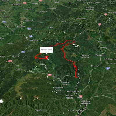 HardMulti-dayUnmarkedDilove village to Hoverla villagevia Mount Pip Ivan Marmaroskyi, Mount Chyvchyn +3Elevation profile317–2 020 m162.3 kmascent 5 379 munder 1 km from Mount Velyka Budychevska
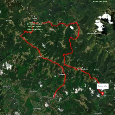 HardMulti-dayUnmarkedProbiinivka village to Shybene villagevia Mount Tarnytsia, Mount Pnivie +1Elevation profile793–1 749 m68.4 kmascent 2 917 m4.3 km from Mount Velyka Budychevska
 HardMulti-dayUnmarkedMount Chyvchyn to Stovpni Horishni villagevia the Pnivie ridge, the Vatunarka ridge +1Elevation profile1 001–1 575 m32.5 kmascent 1 618 m≈ 11.5 h walking5.7 km from Mount Velyka Budychevska
Nearby attractions
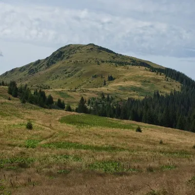 PeakMount Chivchynaltitude 1 766 m · Chyvchyny range3.3 km from Mount Velyka Budychevska2 trails to the topChyvchyn is a peak in the Ukrainian Carpathians, located in the Chyvchyn Mountains (Chyvchyn massif), which occupy the northeastern part of the Marmarosh mountain range.
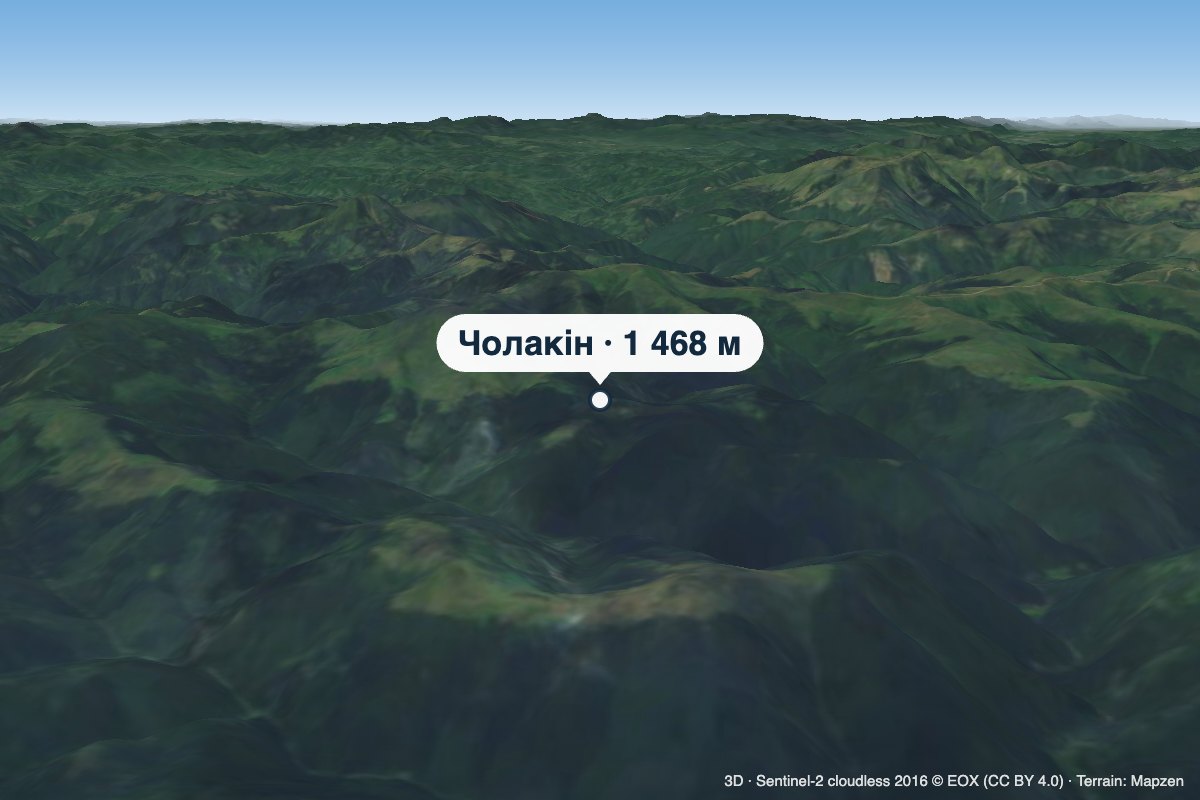 PeakMount Cholakinaltitude 1 468 m · Chyvchyny range4.2 km from Mount Velyka BudychevskaCholakin (also spelled Cholakyn) is a 1,468 m summit in the Chyvchyn Mountains, in the Verkhovyna district of Ivano-Frankivsk Oblast.
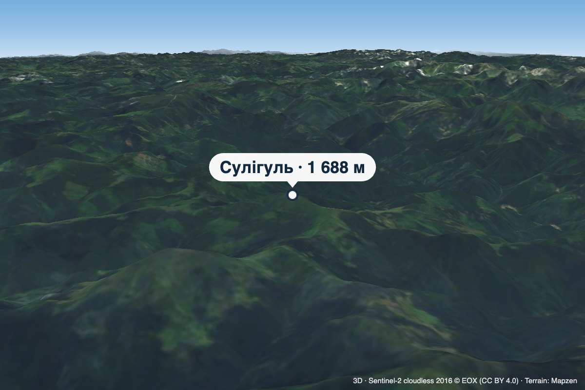 PeakMount Sulihulaltitude 1 688 m · Chyvchyny range5 km from Mount Velyka BudychevskaSulihul (also Sylyhul) is a 1,688 m peak (some sources give 1,689 m) on the main crest of the Chyvchyn Mountains, the north-eastern range of the Marmarosh Massif.