Mount Mahura
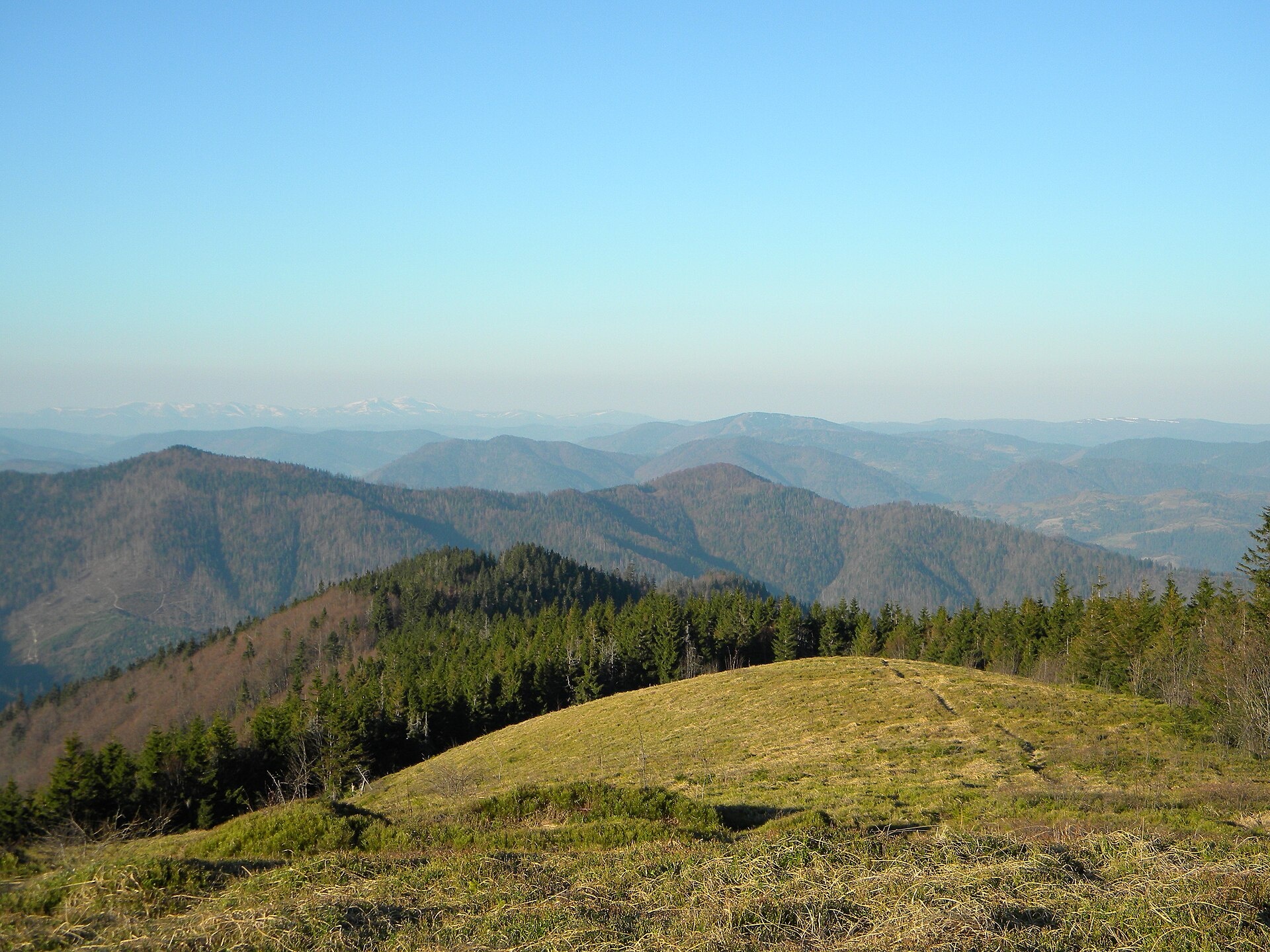
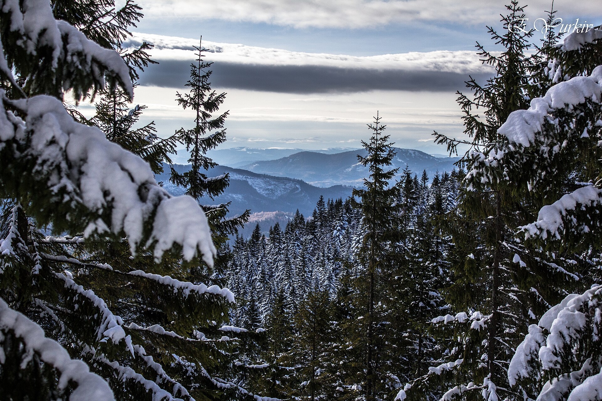
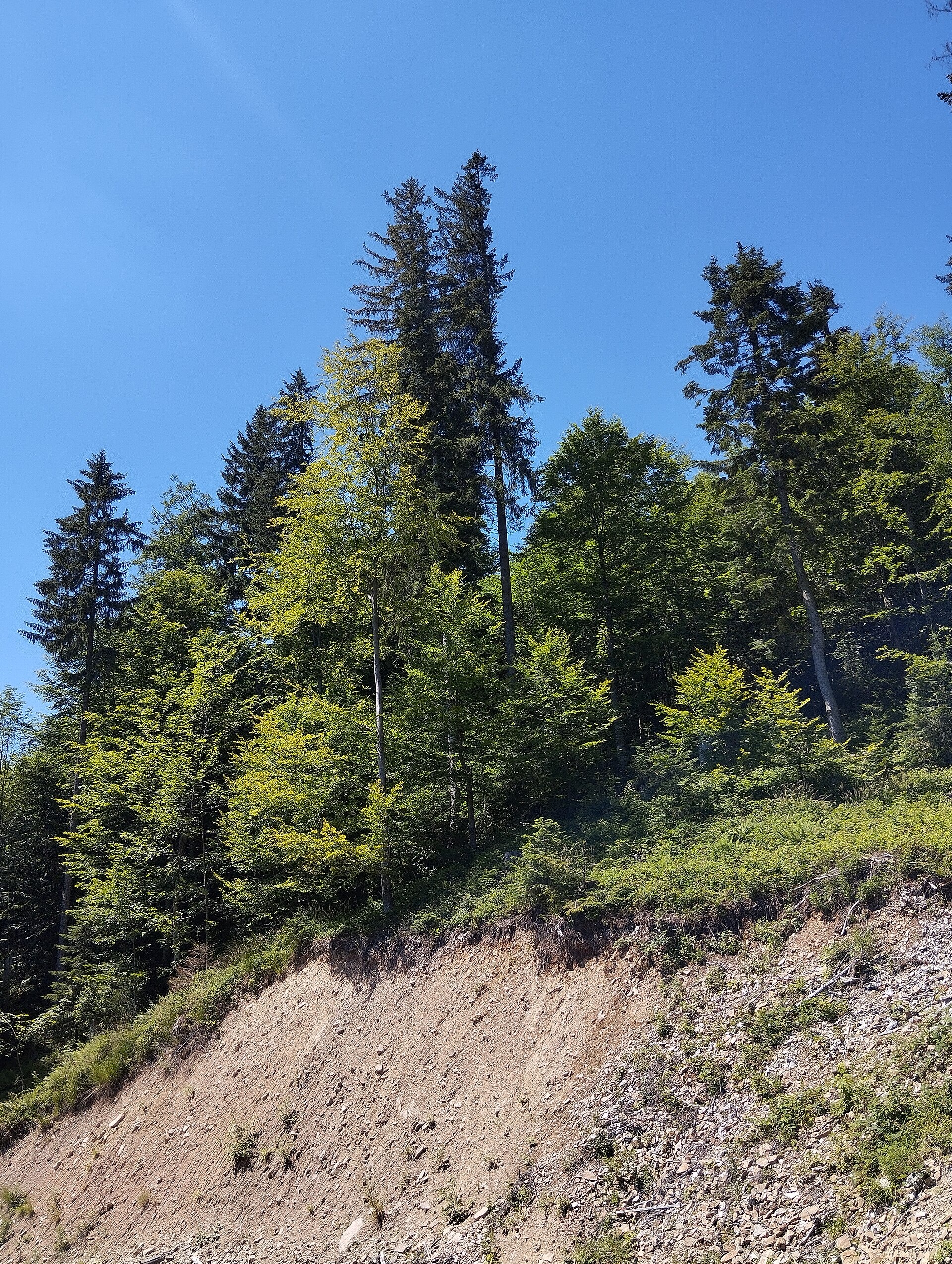
Mahura is a peak of the Skole Beskids. It stands on the border of the Stryi district of Lviv Oblast and the Dolyna district of Ivano-Frankivsk Oblast, between the Opir and Mizunka rivers. It is 1363 m high (more precisely 1362.7 m). Mahura is the second-highest peak of Lviv Oblast after Pikui. The village of Lybokhora lies west of the mountain.
The summit and slopes of Mahura are forested, so this is a quiet woodland mountain without wide meadows; views open up in clearings and near the top. The protected “Mahura” tract lies on the western slopes, and a stream of the same name rises on the eastern ones.
How to get there
The easiest ascent is the loop Lybokhora – Mount Mahura – Lybokhora: 18.4 km with about 800 m of ascent. It is a full day hike; allow 7–8 hours with breaks. Note that there are two villages called Lybokhora: this one near Mahura lies in the Skole Beskids, while the other one, in the former Turka district, is a starting point for hikes to Pikui.
Water, shelter and safety
Our map shows no springs or huts near the summit, so carry water and food. Forest paths are slippery after rain, and it is easy to take a wrong turn in dense woods — download the track and an offline map. The best season is from May to October; in winter you will need snowshoes or winter boots. In an emergency call 112 or 101; contacts of the nearest units are on the mountain rescue page.
Interesting facts
- Among modern Ukrainian neopagans Mahura is one of the names of Mother Slava, a winged warrior maiden.
- In the Carpathians “mahura” is a mountain whose summit is entirely covered with forest. The word comes from Romanian and means “hill, rise”.
Photos: Taras r, CC BY-SA 3.0; Elza Yurkiv, CC BY-SA 4.0; Anna Kuziava, CC BY-SA 4.0 — Wikimedia Commons.
Location on the map
Comments
Places to stay nearby
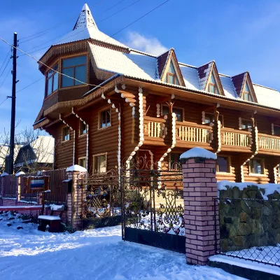
 HotelDen House16 km from Mount MahuraPoolSaunaBreakfastNearby: Mt Gorgan-Ilemsky 8.0 kmMt Yayko-Ilemske 10.0 km7 trails
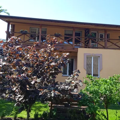
 HotelChayna Khata17 km from Mount MahuraHot tubBBQKitchen
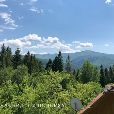
 HomesteadFainy Hazdy19 km from Mount MahuraFireplaceKitchenParkingNearby: Kamianka waterfall 4.2 kmGredl Palace 1.8 km24 trails
 CottageCottage / Rooms in the Forest Area of Skole20 km from Mount MahuraBBQKitchenPetsNearby: Kamianka waterfall 3.5 kmLake Zhuravlyne 4.0 km24 trails
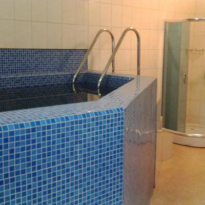 HomesteadHomestead "Khutoryanka" Tukhlya9.1 km from Mount MahuraPoolSaunaBBQNearby: Mt Vysokyi Verkh 9.9 km3 trails
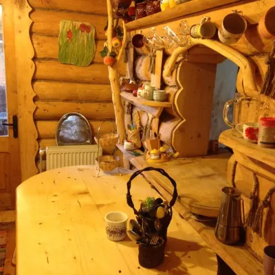 CottageCottage "Oselya Mandrivnykiv" Tukhlya10 km from Mount MahuraSaunaBBQKitchenNearby: Mt Lopata 8.1 kmTomb of Prince Sviatoslav 7.6 km4 trails
Trails nearby
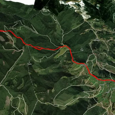 ModerateTwo-dayUnmarkedLybokhory village loopvia Mount MahuraElevation profile580–1 355 m18.4 kmascent 800 m≈ 6 h walkingunder 1 km from Mount Mahura
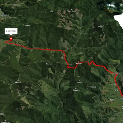 HardTwo-dayUnmarkedLybokhora village to Kozakivka villagevia Mount MatahivElevation profile266–1 283 m22.4 kmascent 3 066 m≈ 11.5 h walking4.5 km from Mount Mahura
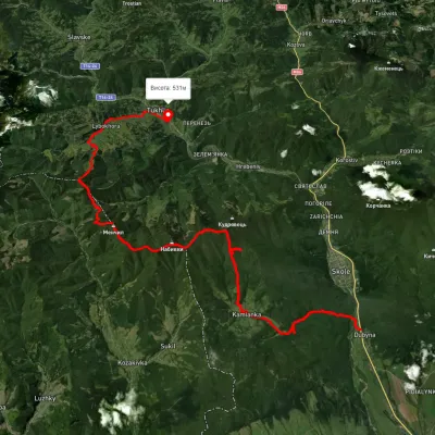 HardMulti-dayUnmarkedDubyna village to Tukhlia villagevia Kamianka Waterfall, Mount Lopata +1Elevation profile390–1 220 m38.8 kmascent 1 698 m≈ 13 h walking5.7 km from Mount Mahura
Nearby attractions
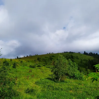 PeakMount Yavorinaaltitude 1 131 m8.4 km from Mount MahuraMount Yavorina is located near the village of Lypa in the Dolyna district of Ivano-Frankivsk region, with a height of 1131 meters.
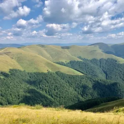 Mountain meadowPolonyna Shchavnaaltitude 1 173 m10 km from Mount MahuraPolonyna Shchavna is located at an altitude of 1173 meters above sea level and is situated in Ivano-Frankivsk region, near the Skole Beskydy reserve and the town of...
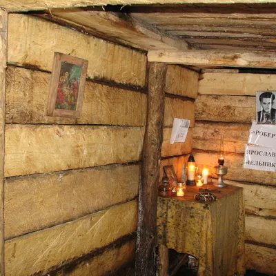 Historic siteRobert's Bunker on Mount Yavoryna near the village of Lipa11 km from Mount MahuraYaroslav (Robert) Melnyk was born in Berezhnytsia, Kalush district. He studied at the Rohatyn Gymnasium from 1937 to 1939, from which he was expelled for belonging to...