Mount Danzig
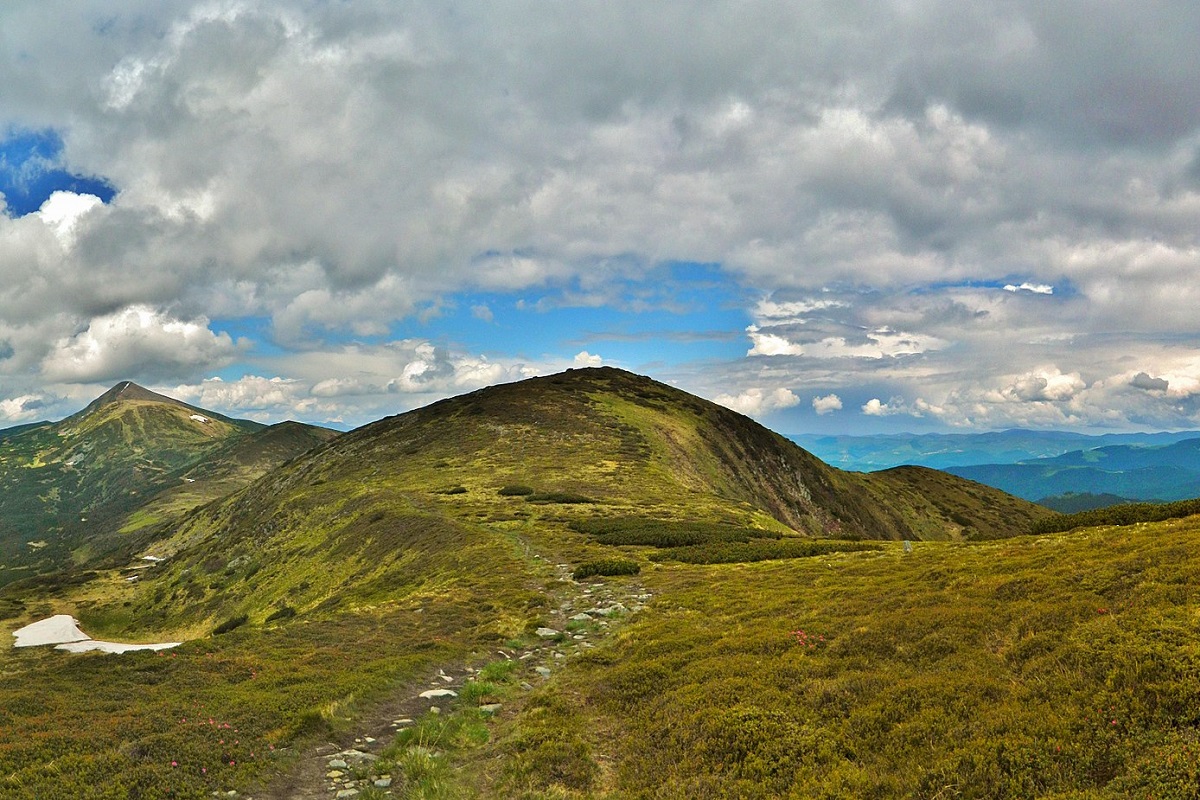
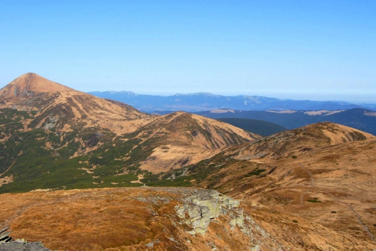
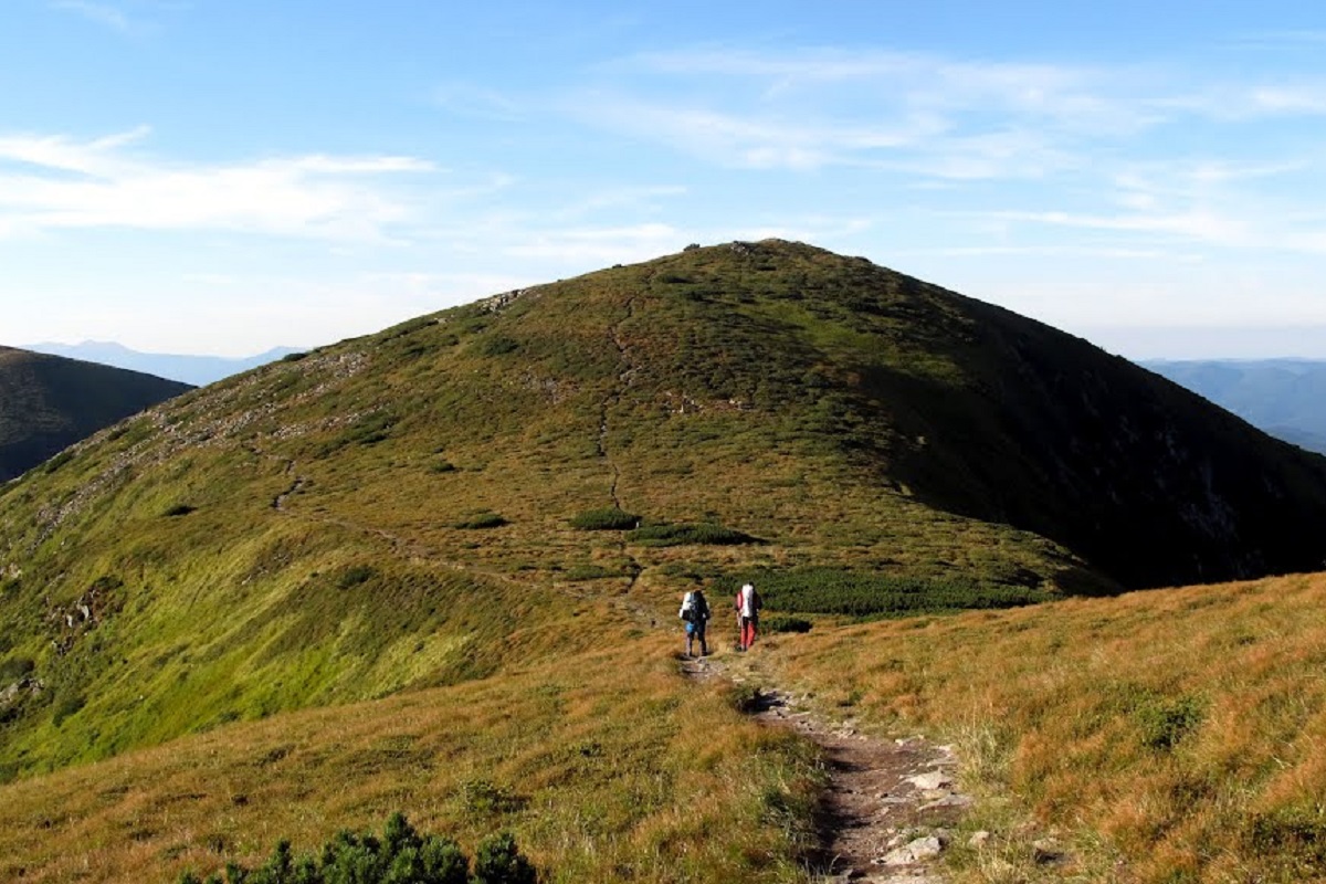
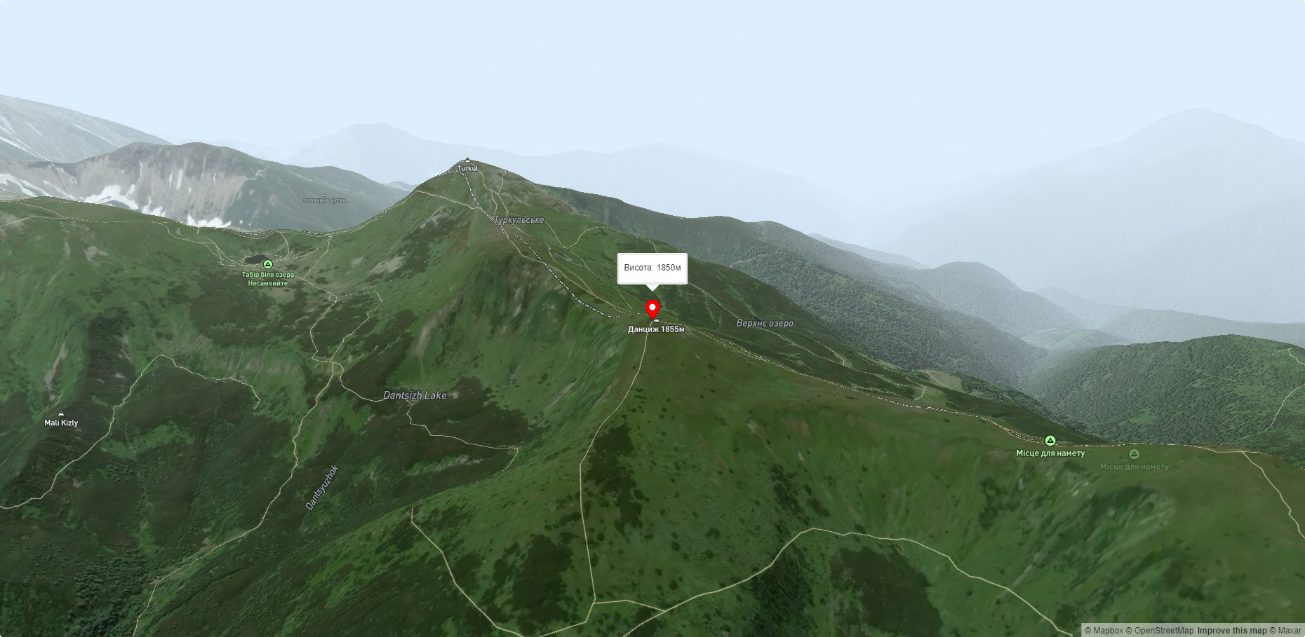
Dantsizh (also known as Danzer) is a peak of the Ukrainian Carpathians, 1850 meters high. The mountain is located on the Chornohora mountain range (in its northwestern part) on the border of two regions - Zakarpattia and Ivano-Frankivsk.
To the northwest of Mount Dantsizh is Mount Pozhyzhevska, to the west is the Ozernyi tract, and to the south is Mount Turkul.
The relief of Mount Dantsizh is typical of the Chornohora range. The slopes of the peak are gentle, almost completely covered with alpine and subalpine vegetation, among which there are quite rare, Red Data Book species.
The nearest settlement is the village of Bystrets in Verkhovyna district of Ivano-Frankivsk region.
Accommodation around Mount Danzig:


Nearby hiking trails near Mount Danzig:
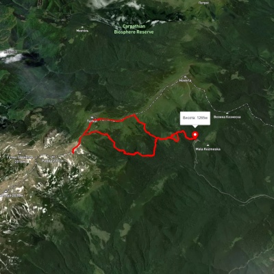
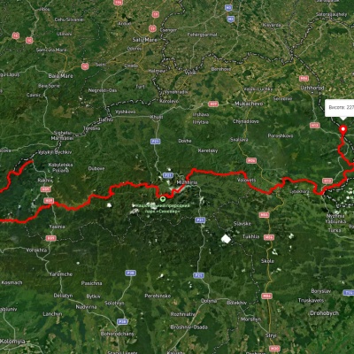
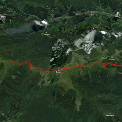
Which trails pass by Mount Danzig?
We suggest these hiking trails through or near Mount Danzig: Zaroslyak base, via Mount Dantsizh, Mount Turkul and Lake Nesamovyte to Zaroslyak base, Transcarpathian Tourist Trail, Kvasy village, via Mount Petros, Mount Hoverla and Lake Nesamovyte to Zaroslyak base, Shybene village, via Mount Pip Ivan Chornohirskyi, Mount Hoverla and Mount Petros to Kvasy village, Luhy village, via Lake Nesamovyte, Mount Hoverla and Mount Petros to Kvasy village, Lake Nesamovyte, via Mount Shpytsi, Mount Hoverla and Hoverla Waterfall to Zaroslyak base