No. 5018 Nature trail in Holovetsko village
Trail map
Route, springs and shelters: © OpenStreetMap contributors (ODbL) · elevation: Copernicus DEM © DLR e.V., © Airbus DS · Data & licences
Where to stay nearby
About the trail
Route No. 5018 Nature trail in Holovetsko village. Has yellow marking (local route №5018). Waymarking data: OpenStreetMap (© OpenStreetMap contributors, ODbL).
Officially marked local tourist route №5018. The marking is yellow, the sign is a horizontal stripe on a white background. The length of the route is 3.2 km. Location: mountain range — Beskydy and Precarpathians, Lviv region.
The local significance tourist path №5018 is intended for pedestrians and bicycles. It runs through the village of Holovetsko across the territory of Holovetske Forestry in the Starosambir district.
At a glance
A short route of 3.2 km with 3 m of ascent. Estimated walking time: about 1 h, not counting stops. Difficulty: easy. Waymarking: yellow.
Route stages
- 0–3 kmGentle ups and downs at 440–460 m
Water and overnight stays
Our map shows no springs near the trail — bring your own water (at least 1 l).
When to go
The route can be walked most of the year; it is most comfortable from April to October.
Getting there
This is a one-way route: the finish is 3 km from the start in a straight line, so plan your way back in advance.
FAQ
- How long does the route take?
- Estimated walking time: about 1 h, not counting stops.
- Is there water on the route?
- Our map shows no springs near the trail — bring your own water (at least 1 l).
Comments
Trails nearby
All trails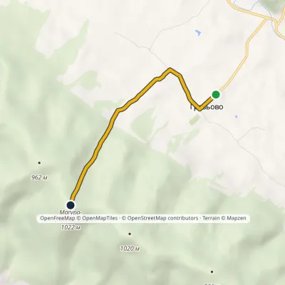 EasyOne-dayMarkedNo. 5018 Storm Gate: Hrozova village Mount Magura-LimnianskaElevation profile546–1 023 m3.6 kmascent 466 m≈ 2 h walking
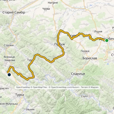 HardMulti-dayMarkedNo. 502-1 Drohobych RozluchElevation profile292–733 m78.1 kmascent 917 m
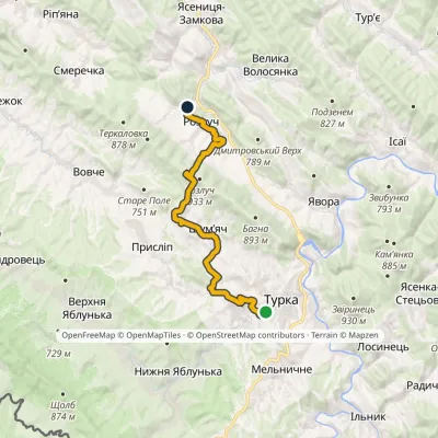 ModerateTwo-dayMarkedNo. 5001-1 Turka Rozluchvia source of the DniesterElevation profile539–907 m19 kmascent 563 m≈ 6 h walking
Craft nearby
All craft places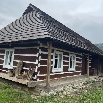 Ethno parks & homesteadsNanashkova Khata Ethno-Homestead, Lopushanka-KhomynaStrilky7.3 km from the trailNanashkova Khata ethno-homestead is a restored Boyko house built in 1930 in the village of Lopushanka-Khomyna, Sambir district, in a quiet mountain valley of the Lviv...
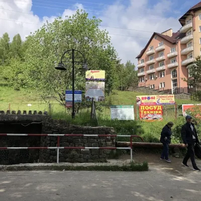 Theme parksMineral Spring No. 1-S (Naftusya), SkhidnytsiaSkhidnytsia36 km from the trailSpring No. 1-S is one of the most popular mineral springs in Skhidnytsia, the mountain spa near Drohobych often called Truskavets’ younger sibling.
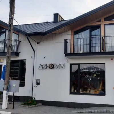 Craft shopsDecorum Art Shop, SkhidnytsiaSkhidnytsia36 km from the trailDecorum is a small art shop in the very heart of Skhidnytsia, on Zolota Bania Street close to the central pump rooms and the resort's promenade.
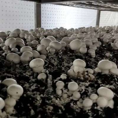 Eco farmsBorovyk Mushroom Farm (Champiland), BoryslavBoryslav40 km from the trailBorovyk is a family mushroom farm in Boryslav, a few kilometres from the spa towns of Truskavets and Skhidnytsia.
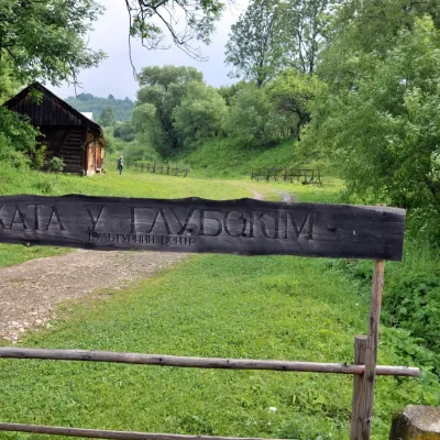 Crafts & workshopsKhata u Hlubokim Local History Centre, UrychUrych42 km from the trailKhata u Hlubokim (“the House in Hlyboke”) is an old Boyko house in Urych that the Tustan State Historical and Cultural Reserve has turned into a local history centre.
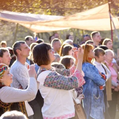 Ethno tours & guidesBoyYe Boyko Culture Festival, UrychUrych42 km from the trailBoyYe is a festival of Boyko culture launched by the Tustan State Historical and Cultural Reserve in the village of Urych.
