Mount Peredna
Peredna is a 1,598 m mountain (some sources give 1,603 m), the highest summit of the ridge of the same name in the Inner Gorgany. It stands on the boundary of the former Mizhhiria and Tiachiv districts of Zakarpattia Oblast, between the Mokrianka river and the tributaries of the Tereblia. The nearest settlements are Synevyr to the north-west, Kolochava to the south-west and Nimetska Mokra to the south; Polish researchers of the Gorgany count Peredna as part of the Strymba massif.
The summit is dome-shaped and treeless; the slopes are only slightly dissected — the western and north-eastern ones are steeper — and covered with spruce forest. The mountain is made of Palaeogene flysch, typical of the Krosno zone of the Carpathians.
How to get there
Our site has no marked route to Peredna yet. The best starting points are in the Tereblia valley — Kolochava or the villages around it — from where forest roads lead up to the ridge. The nearest village, Nehrovets, is about 10 km from the summit as the crow flies, so plan for a full day and carry a GPS track.
Water, shelter and safety
Our map shows no springs or huts within 4 km of the summit, so bring water from the valley. The western slopes belong to Synevyr National Nature Park — follow its rules on camping and campfires. On the bare summit the weather changes fast: take a rain jacket, warm layers and a charged phone, and start early to be back before dark. In an emergency call 112 or 101 — contacts of the nearest units are on our mountain rescue page.
Interesting facts
- Peredna gives its name to a whole ridge, and the mountain itself is the ridge’s highest point.
- The western slopes of Peredna lie within Synevyr National Nature Park, famous for the lake of the same name.
Comments
Places to stay nearby
 Homestead"U Davidka i Matviika"14 km from Mount PerednaFireplaceKitchenParkingNearby: Mt Petros Gorgansky 4.6 kmMt Studenets 3.8 km2 trails
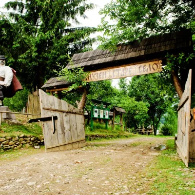 HotelComplex "Stare Selo" Mykulychyn14 km from Mount PerednaParkingTransferNearby: Holy Spirit Church 200 mMt Strymba 6.9 km10 trails
 HomesteadHomestead "Faini Karpaty" Osmoloda14 km from Mount PerednaSaunaBBQKitchenNearby: Mt Petros Gorgansky 4.6 kmMt Studenets 3.8 km2 trails
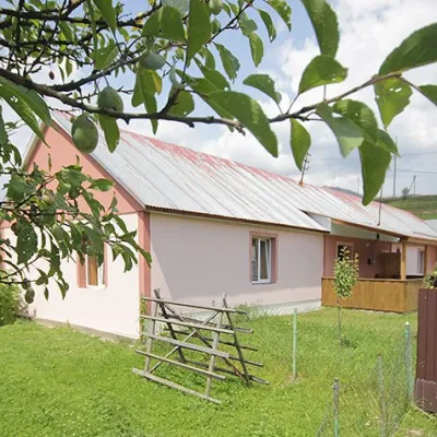 CottageCottage "Yalivets" Kolochava14 km from Mount PerednaHot tubBBQKitchenNearby: Holy Spirit Church 1.7 kmMt Negrovets 7.3 km9 trails
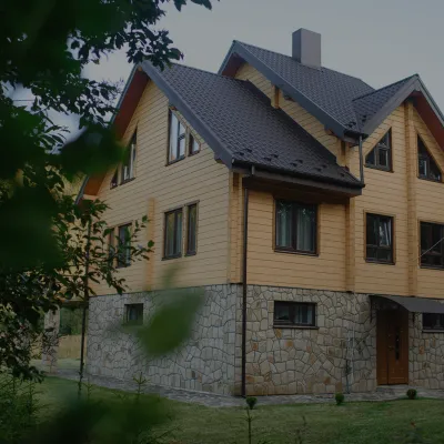 HomesteadHomestead "Albertville" Osmoloda14 km from Mount PerednaFireplaceKitchenParkingNearby: Mt Petros Gorgansky 4.8 kmMt Studenets 4.0 km2 trails
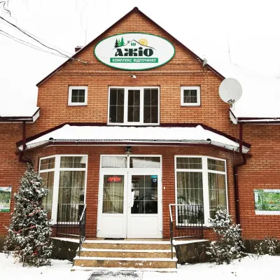 HotelRecreation Complex "Azhio" Mykulychyn Village14 km from Mount PerednaSaunaKitchenTransferNearby: Holy Spirit Church 1.2 kmMt Negrovets 7.8 km9 trails
Trails nearby
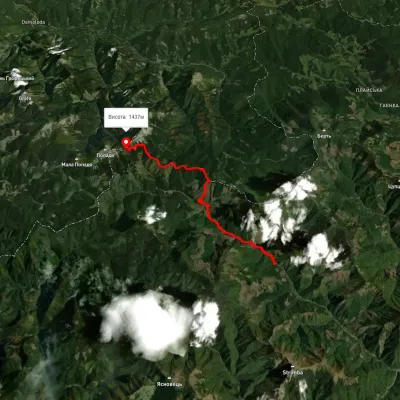 HardTwo-dayMarkedUst-Chorna Mount PopadiaElevation profile798–1 483 m15.4 kmascent 1 513 m≈ 7 h walking4 km from Mount Peredna
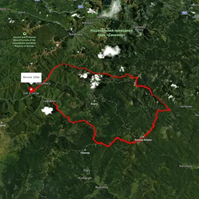 HardMulti-dayUnmarkedLopukhiv village to Ust-Chorna villagevia Legioniv Pass, Peklo tract +3Elevation profile522–1 809 m94.1 kmascent 3 095 m4 km from Mount Peredna
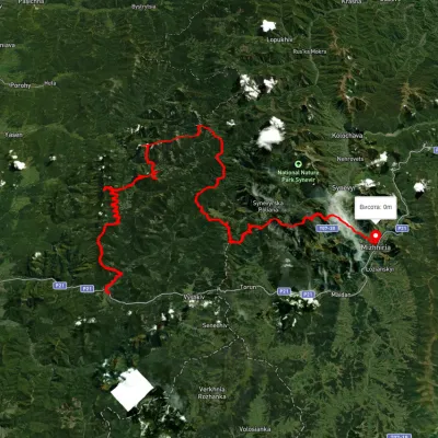 HardMulti-dayUnmarkedMyslivka village to Mizhhiriavia Mount Moloda, Mount Popadia +3Elevation profile444–1 717 m117 kmascent 6 438 m5.3 km from Mount Peredna
Nearby attractions
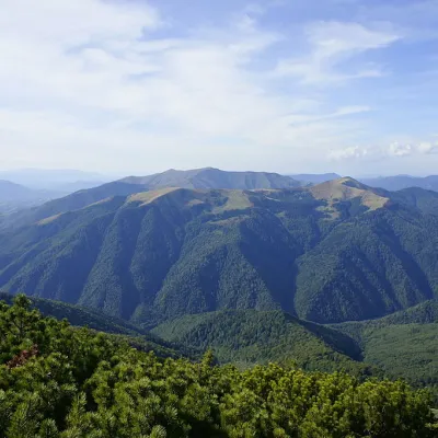 PeakMount Yasnovetsaltitude 1 600 m · Gorgany range6.4 km from Mount Peredna3 trails to the topYasnovets is a mountain in the Ukrainian Carpathians, in the Inner Gorgany massif. It is located in the central part of the Pyshkonya ridge, within the Mizhhirya...
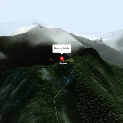 PeakMount Yavirnykaltitude 1 405 m6.8 km from Mount Peredna16 trails to the topMount Yavirnyk is located in the Carpathians, near the village of Synevyr, in western Ukraine. It is a part of the Synevyr mountain range, which is the largest forest...
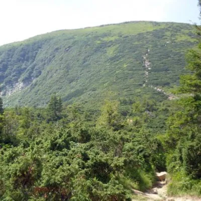 PeakMount Bushtulaltitude 1 691 m · Gorgany range7.2 km from Mount Peredna3 trails to the topBushtul is a 1,691-meter-high mountain in the Ukrainian Carpathians, located in the Gorgan mountain range (Inner (Subsidiary) Gorgan Mountains ) on the border of two...