Măguri-Răcătău – Mount Smidele
Trail map
Route, springs and shelters: © OpenStreetMap contributors (ODbL) · elevation: Copernicus DEM © DLR e.V., © Airbus DS · Data & licences
About the trail
Route Măguri-Răcătău – Mount Smidele. Has yellow marking (regional route). Waymarking data: OpenStreetMap (© OpenStreetMap contributors, ODbL).
Marked regional tourist route. The marking is yellow, the sign is a vertical stripe on a white background. Length of the route — 25.3 km. Location: mountain range — Bihor and Vlădeasa, Romania.
At a glance
A one-day route of 25.3 km with 1,002 m of ascent from Măguri-Răcătău to Mount Smidele. Estimated walking time: about 8 h, not counting stops. Difficulty: hard. Waymarking: yellow.
How we estimate walking time
By Naismith's rule, used by mountain clubs and guidebooks: an average hiker walks 4 km an hour on the flat and needs one more hour for every 600 m of ascent. For this trail: 25.3 km ÷ 4 = 6.3 h + 1,002 m ÷ 600 = 1.7 h, about 8 h of walking in total.
- Breaks, snacks and photos: add 20–30 %.
- A heavy pack, children, snow, a wet path or windfall add more; a long steep descent also takes time, especially for the knees.
- The height of the Carpathians (up to 2,655 m) hardly changes the pace — on the ridges wind, fog and weather slow you down.
- Limits: up to 9 h is one day; 9–13 h is a very long day or two; over 13 h means several days with overnight stays.
Route stages
- 0–6 kmClimb of 300 m (up to 1,029 m)
- 6–13 kmGentle ups and downs at 1,020–1,190 m
- 13–15 kmClimb of 200 m (up to 1,386 m)
- 15–25 kmAlong the ridge at 1,380–1,640 m
Steepest kilometre: km 13–14, a climb of 150 m (≈15%).
Water and overnight stays
Springs near the trail: at km 3 and 9. There are no springs between km 9 and 25 — carry at least 3 l of water.
When to go
Best time: June to September. In winter only for experienced hikers with proper gear: avalanche danger is possible. About 7 km of the route runs above 1,500 m, where the weather changes quickly — check the forecast.
Getting there
Start: Măguri-Răcătău. This is a one-way route: the finish is 15 km from the start in a straight line, so plan your way back in advance.
FAQ
- How long does the route take?
- Estimated walking time: about 8 h, not counting stops.
- Is there water on the route?
- Springs near the trail: at km 3 and 9. There are no springs between km 9 and 25 — carry at least 3 l of water.
Water and shelter on the route
- Spring below Dealu Negruțakm 3.4 from the start · Not verified · 894 m
- Spring (Măguri)km 8.7 from the start · Not verified · 1 079 m
Comments and trail condition
Travellers’ experience: reports, tips, questions.
No one has reported on this trail yet. Been here lately? Tell others what it is like now.
Wildlife along the route
All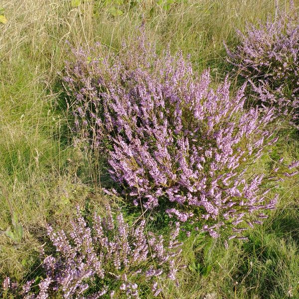
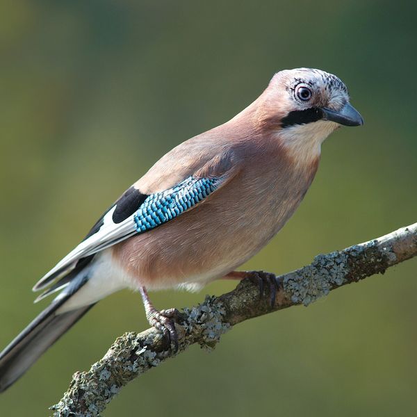
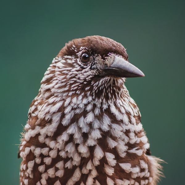
Based on naturalists’ records nearby (GBIF, iNaturalist), matched by altitude, habitat and season. Sightings are not guaranteed.
Trails nearby
All trails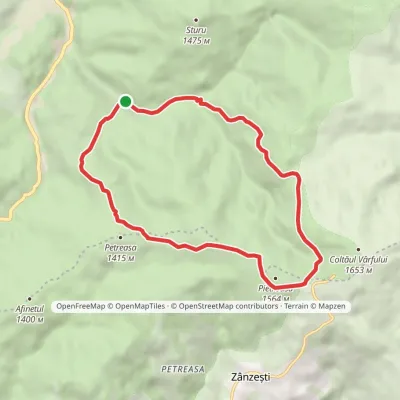
Craft nearby
All craft places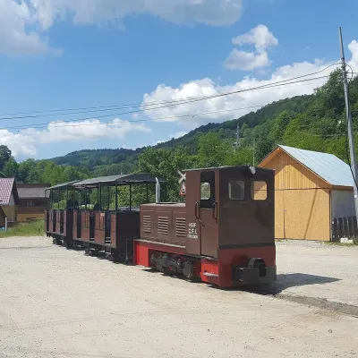 Heritage transportApuseni Narrow-Gauge Train: Câmpeni–Abrud ride in Moți LandVârși32 km from the trailThe narrow-gauge railway along the Arieș valley was officially opened on 20 June 1912. It linked the town of Turda with mountain Abrud in Țara Moților, the Moți Land —...
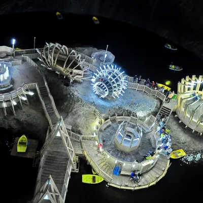 Water parks & thermal poolsSalina Turda: a lake 112 m underground and speleotherapyTurda46 km from the trailThe Turda Salt Mine (Salina Turda) is one of Romania's best-known underground sights, on the edge of the town of Turda in Cluj County, a few dozen kilometres from Cluj...
