Vlădeasa
Vlădeasa (Romanian: Vârful Vlădeasa, Hungarian: Vigyázó-csúcs or Vlegyásza-csúcs) is the highest summit of the Vlădeasa Massif in the Apuseni Mountains (Western Romanian Carpathians), 1,836 m above sea level. According to Hungarian Wikipedia, it is the second-highest mountain of the Apuseni, only 11 m lower than Cucurbăta Mare (Bihor). The summit lies in Cluj County; the nearest villages are Rogojel (about 6 km), Lunca Vișagului and Vișagu (8 km).
The ridge is formed by two summits — Vlădeasa and Vlădeasa Sud (South), of almost equal height; they are linked by a narrow treeless plateau stretching about 700 m between the tops and over 2 km on the southern slope. On the summit stand a fenced weather station with its building and a telecommunications relay tower.
How to get there / routes
The main base for the ascent is the Vlădeasa mountain hut at about 1,430 m, roughly north of the summit. According to muntii-nostri.ro, it can be reached all year even by car on the gravel road Bologa – Săcuieu – Rogojel (high clearance recommended); on foot, a red triangle route leads from the village of Rogojel (3.7 km, about 470 m of ascent).
The most popular way to the summit is the «small Vlădeasa circuit» with the red dot (13MN06): from the hut to the ridge, to the summit, then along the main ridge to the Pietrele Albe massif and back along the Rogojanului road. It is 13.3 km long, takes 5–6 hours and is of medium difficulty. From the hut the path first follows a forest road, then reaches the ridge with a view over the Drăgan basin and Mount Tarnița, and then climbs gently for about 2 km across open slopes past junipers that barely withstand the local winds. The summit can also be reached on the blue stripe ridge route from Bologa and on paths from the Drăgan valley and Lake Drăgan.
What you can see from the summit
Romanian and Hungarian Wikipedia describe wide views: over the Padiș plateau and the Bihor Mountains, the Muntele Mare massif, the Stâna area with Buteasa peak and the Huedin Depression. On December days, when clouds lie low and the air above them is clear, you can even see the ridges of the Retezat and the peaks of the Rodna.
Nature and history
According to Romanian Wikipedia, the Vlădeasa Massif has an old crystalline base, but magmatic rocks dominate: volcanic activity began here in the mid-Cretaceous, and Vlădeasa peak itself is made of rhyolite. On the southern slope there are traces of periglacial processes, and on the descent towards Pietrele Albe the beginnings of a small glacial cirque. The Pietrele Albe («White Stones») rocks at 1,100–1,300 m are made of Jurassic and Paleocene limestone. The Hungarian name of the peak, Vigyázó, means «the watchman».
Safety, season and rules
According to the muntii-nostri.ro route description, strong winds blow on the ridge almost all year, and on the wide plateaus waymarks are sparse and there are no signposts — it is easy to get lost in fog, so carry a map or offline navigation. In winter the small circuit is walked only depending on the amount and condition of the snow.
Bears are common in the Romanian Carpathians. Salvamont rescuers advise not to hike alone, to talk loudly so that an animal hears you in advance, to keep your distance and never feed wildlife, and to store food in sealed containers away from your tent; if you meet a bear, do not run and back away slowly without turning your back.
Mountain rescue: Salvamont national dispatch 0SALVAMONT = 0725 826 668 and the emergency number 112.
Interesting facts
- Vlădeasa is only 11 m lower than the highest peak of the Apuseni.
- During winter temperature inversions the Retezat and the Rodna can be seen from the summit.
- A weather station operates on the summit.
Getting there from Ukraine
Border crossings
- Porubne – Siret — road and pedestrian, 24/7
- Diakivtsi – Racovăț — road and pedestrian, 24/7 No freight traffic.
- Krasnoilsk – Vicovu de Sus — road and pedestrian, 08:00–20:00 Cars up to 3.5 t and pedestrians only; not 24/7.
- Solotvyno – Sighetu Marmației — road and pedestrian, 24/7 Passenger traffic only: vehicles up to 3.5 t with up to 9 seats, pedestrians.
- Diakove – Halmeu — road, 24/7 No pedestrian crossing.
By car
Rakhiv – Cluj-Napoca ≈219 km, ≈3 h 44 min (via Solotvyno – Sighetu Marmației); Ivano-Frankivsk – Cluj-Napoca ≈353 km, ≈6 h 04 min (via Solotvyno – Sighetu Marmației); Chernivtsi – Cluj-Napoca ≈343 km, ≈6 h 28 min (via Krasnoilsk – Vicovu de Sus). Times without border queues, our road routing (GraphHopper, OSM).
Checked 03.11.2026; border crossing hours and timetables change — check before you travel.
Water and shelter nearby
- Spring below Vlădeasa (east slope), 1 440 m1.3 km · Not verified · 1 440 m
- Spring below Vlădeasa (east slope), 1 426 m1.4 km · Not verified · 1 426 m
- Spring below Vlădeasa (south slope)1.5 km · Not verified · 1 611 m
- Spring below Vlădeasa (south-east slope)1.9 km · Not verified · 1 447 m
- Spring below Dealu Chicera Orzașcilor (south-west slope), 1 351 m2 km · Not verified · 1 351 m
- Spring below Piatra Grăitoare (north slope), 1 495 m2 km · Not verified · 1 495 m
- Spring below Dealu Chicera Orzașcilor (west slope), 1 352 m2 km · Not verified · 1 352 m
- Spring below Piatra Grăitoare (north-west slope), 1 529 m2 km · Not verified · 1 529 m
- Spring below Piatra Grăitoare (north-west slope), 1 532 m2.2 km · Not verified · 1 532 m
- Drinking water below Dealu Chicera Orzașcilor2.6 km · Not verified · 1 425 m
- Vlădeasa Hut2.6 km · Standing · 1 430 m
- Spring below Dealu Chicera Orzașcilor (west slope), 1 342 m2.9 km · Not verified · 1 342 m
- Spring below Dealu Chicera Orzașcilor (north-west slope)2.9 km · Not verified · 1 362 m
Wildlife nearby
All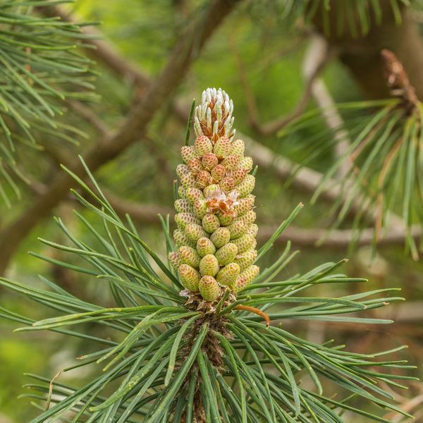
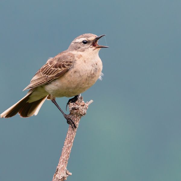
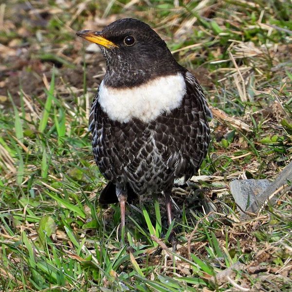
Based on naturalists’ records nearby (GBIF, iNaturalist), matched by altitude, habitat and season. Sightings are not guaranteed.
Comments
Nearby attractions
 PeakCucurbăta MareBâlcaltitude 1 849 m36 km from VlădeasaCucurbăta Mare (Romanian: Vârful Cucurbăta Mare or Curcubăta Mare; also Bihor Peak, Romanian: Vârful Bihor; Hungarian: Nagy-Bihar) is the highest summit of the Bihor...
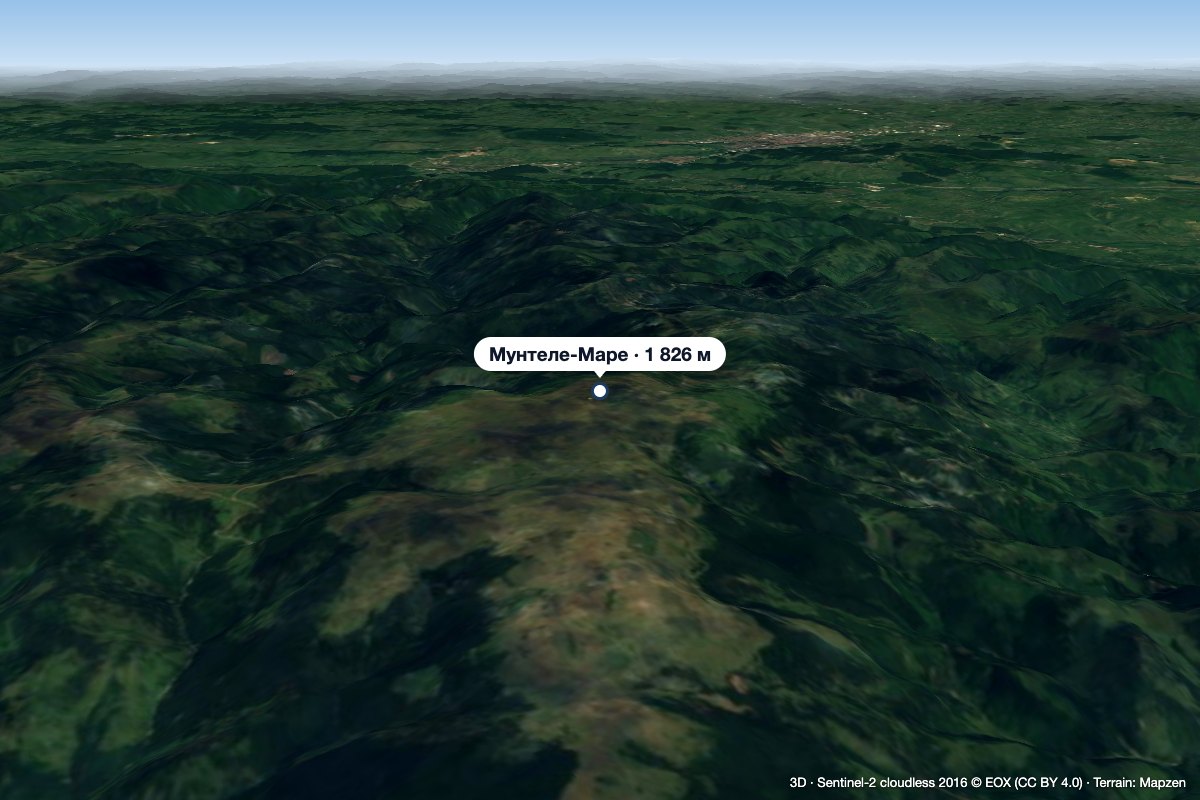 PeakMuntele MareSăgageaaltitude 1 826 m45 km from VlădeasaMuntele Mare (Romanian Vârful Muntele Mare, Hungarian Öreghavas) is a 1,826 m summit in the eastern part of the Apuseni Mountains (Western Romanian Carpathians).
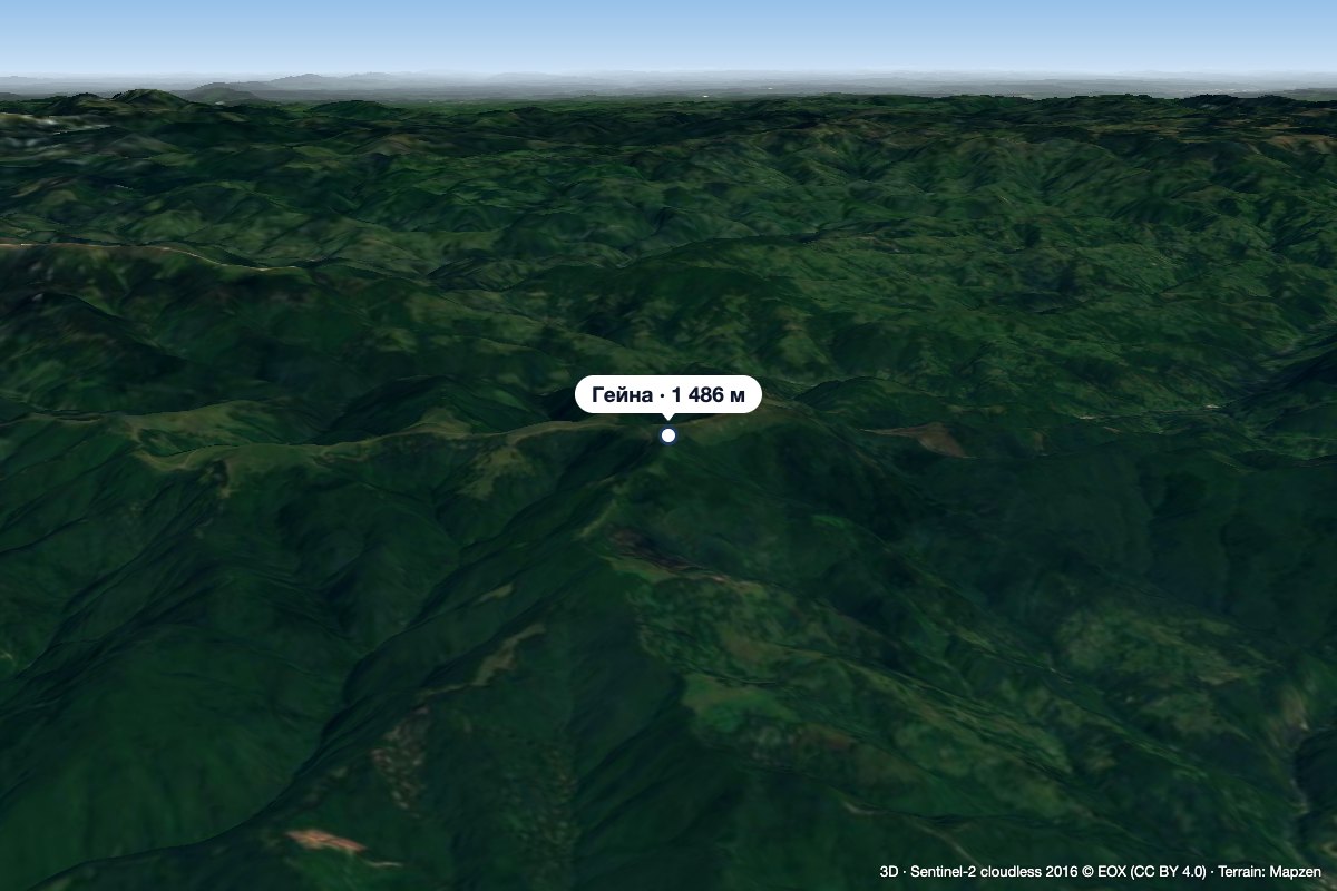 PeakGăinaGiurgeștialtitude 1 486 m46 km from VlădeasaGăina (Romanian Vârful Găina, Muntele Găina) is a 1,486 m summit, the highest point of the massif of the same name in the central Apuseni Mountains (Western Romanian...
