Cucurbăta Mare
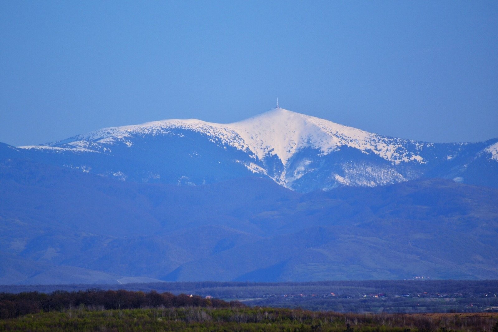
Cucurbăta Mare (Romanian: Vârful Cucurbăta Mare or Curcubăta Mare; also Bihor Peak, Romanian: Vârful Bihor; Hungarian: Nagy-Bihar) is the highest summit of the Bihor Mountains and of the whole Western Romanian Carpathians (Apuseni), 1,849 m above sea level. It lies in the south-eastern part of Bihor County, near the border with Alba County. According to Czech Wikipedia, the mountain is built of crystalline rocks. The ridge it stands on runs north–south and forms the watershed between the Mureș and Criș basins.
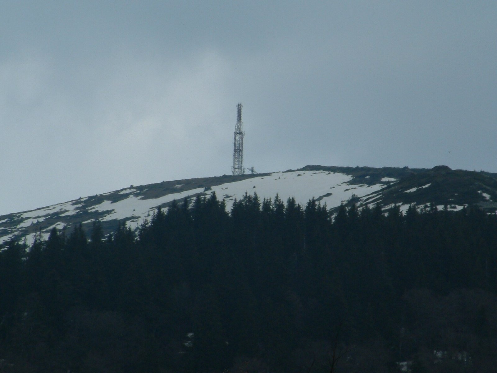
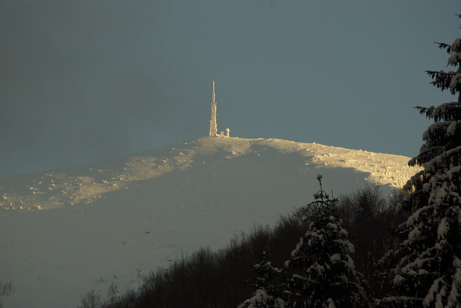
The nearest villages are Pătrăhăițești and Galbena (4–5 km) and the mountain village of Arieșeni in the Arieș valley (about 6 km). A television relay stands on the summit and is visible from afar. Bihor's silhouette can be seen at great distances: one photo on Wikimedia Commons shows the peak from the village of Josani, 43 km away.
How to get there / routes
- From the Arieșeni side, via the Arieșul Mare valley — the blue stripe through Galbena and the Cepelor valley; according to muntii-nostri.ro (route 117MN60), it is 8.2 km and 3–4.5 hours' walk.
- From the Criștior pass (route 35, blue stripe) — a long trunk route from the Crișul Negru valley via the La Răscruce meadow, Dealul Runcului and Lake Tăul Mare, hidden among dwarf pine. According to muntii-nostri.ro, it is about 13.5 km, 5¼–7 hours and 1,468 m of ascent; the last 1.5 km with about 300 m of climbing run from an electricity substation parallel to the red stripe.
- Along the main ridge on the red stripe — from the Vârtop saddle via Piatra Grăitoare and Biharia peak; the same trunk route leads south to Mount Găina.
What you can see from the summit
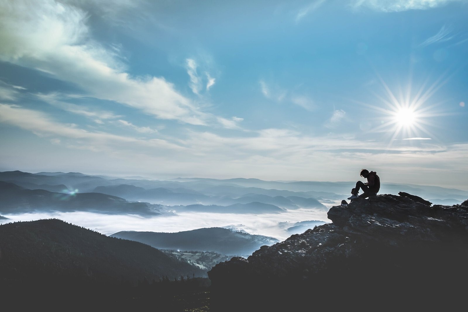
The muntii-nostri.ro route description promises a superb panorama from the summit. From the highest mountain of the Apuseni you can see the ridges of the Bihor and Vlădeasa mountains, the Arieș and Crișul Negru valleys, and to the south Mount Găina, known for its annual fair.
Nature and history
The Bihor massif is the heart of the Apuseni Mountains, where crystalline ridges alternate with limestone plateaus, caves and karst springs. The slopes of Cucurbăta Mare carry spruce forests, and higher up mountain meadows and dwarf pine, for example around Lake Tăul Mare, which has a local legend about a dragon. The French geographer Emmanuel de Martonne, one of the explorers of the Carpathians, photographed the ascent of Cucurbăta in the first half of the 20th century — his pictures are now on Wikimedia Commons.
Safety, season and rules
The summit is not high, but it is exposed to every wind. Between Piatra Grăitoare and Cucurbăta Mare the waymarks are sparse, and in fog or winter it is easy to lose the path — carry a map or offline navigation. In winter only well-prepared ski tourers or snowshoers go on these routes.
Bears are common in the Romanian Carpathians. Stay on the marked paths, talk as you walk so that an animal hears you in advance, do not keep food in your tent; if you meet a bear, do not run and back away slowly. Sheepdogs near sheepfolds may rush at people – stop and shield yourself with your rucksack. In an emergency call the national dispatch 0SALVAMONT – 0725 826 668 or 112; advice on animal encounters is on the Salvamont România website.
Interesting facts
- Cucurbăta Mare is the highest summit of the entire Western Romanian Carpathians.
- The mountain has long been called simply «Bihor» — like the whole massif and the county.
- A television relay stands on the summit.
Photos: Flavius Ivaşca, CC BY-SA 4.0; Larisa Birta, CC0; Szodorai Imre [Hun], CC BY 3.0; vlm72, CC BY-SA 3.0 — Wikimedia Commons.
Getting there from Ukraine
Border crossings
- Porubne – Siret — road and pedestrian, 24/7
- Diakivtsi – Racovăț — road and pedestrian, 24/7 No freight traffic.
- Krasnoilsk – Vicovu de Sus — road and pedestrian, 08:00–20:00 Cars up to 3.5 t and pedestrians only; not 24/7.
- Solotvyno – Sighetu Marmației — road and pedestrian, 24/7 Passenger traffic only: vehicles up to 3.5 t with up to 9 seats, pedestrians.
- Diakove – Halmeu — road, 24/7 No pedestrian crossing.
By car
Rakhiv – Cluj-Napoca ≈219 km, ≈3 h 44 min (via Solotvyno – Sighetu Marmației); Ivano-Frankivsk – Cluj-Napoca ≈353 km, ≈6 h 04 min (via Solotvyno – Sighetu Marmației); Chernivtsi – Cluj-Napoca ≈343 km, ≈6 h 28 min (via Krasnoilsk – Vicovu de Sus). Times without border queues, our road routing (GraphHopper, OSM).
Checked 03.11.2026; border crossing hours and timetables change — check before you travel.
Location on the map
Water and shelter nearby
- Spring below Tăul Mare1.6 km · Not verified · 1 515 m
- Spring below Muncelu (north slope), 1 408 m1.9 km · Not verified · 1 408 m
- Spring below Curcubăta Mică (north-west slope), 1 594 m2.1 km · Not verified · 1 594 m
- Spring below Curcubăta Mică (north-west slope), 1 610 m2.2 km · Not verified · 1 610 m
- Spring below Muncelu (north slope), 1 380 m2.6 km · Not verified · 1 380 m
- Spring (Galbena), 1 199 m2.8 km · Not verified · 1 199 m
- Spring below Curcubăta Mică (north slope)2.8 km · Not verified · 1 356 m
Comments
Nearby attractions
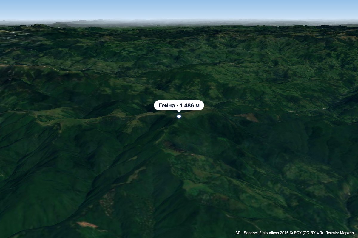 PeakGăinaGiurgeștialtitude 1 486 m11 km from Cucurbăta MareGăina (Romanian Vârful Găina, Muntele Găina) is a 1,486 m summit, the highest point of the massif of the same name in the central Apuseni Mountains (Western Romanian...
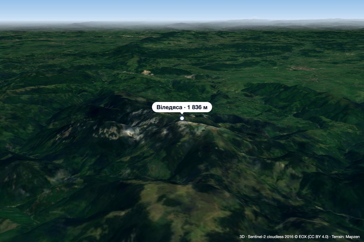 PeakVlădeasaRogojelaltitude 1 836 m36 km from Cucurbăta MareVlădeasa (Romanian: Vârful Vlădeasa, Hungarian: Vigyázó-csúcs or Vlegyásza-csúcs) is the highest summit of the Vlădeasa Massif in the Apuseni Mountains (Western...
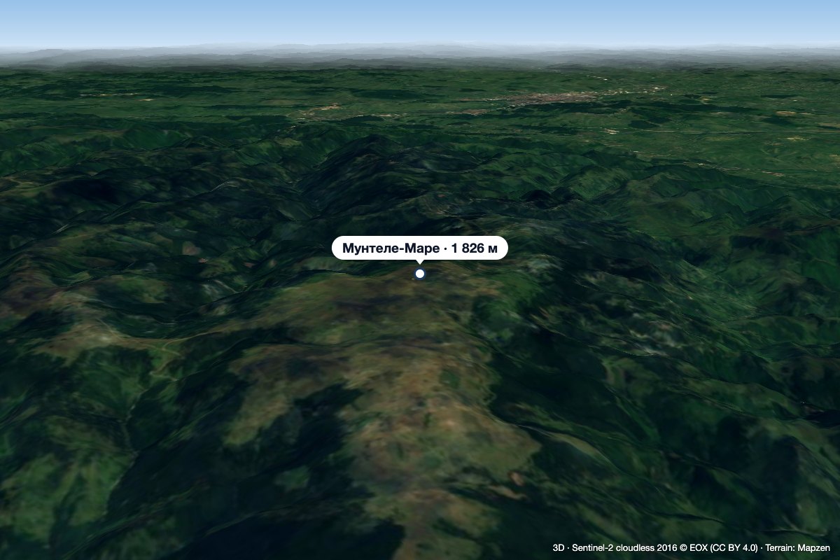 PeakMuntele MareSăgageaaltitude 1 826 m42 km from Cucurbăta MareMuntele Mare (Romanian Vârful Muntele Mare, Hungarian Öreghavas) is a 1,826 m summit in the eastern part of the Apuseni Mountains (Western Romanian Carpathians).
