Apuseni Narrow-Gauge Train: Câmpeni–Abrud ride in Moți Land
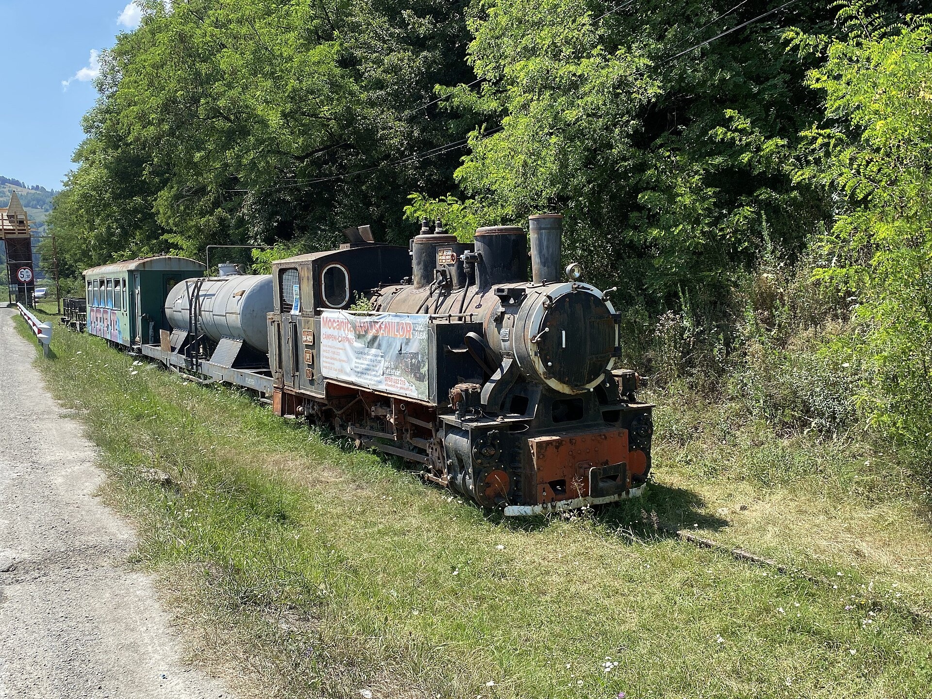
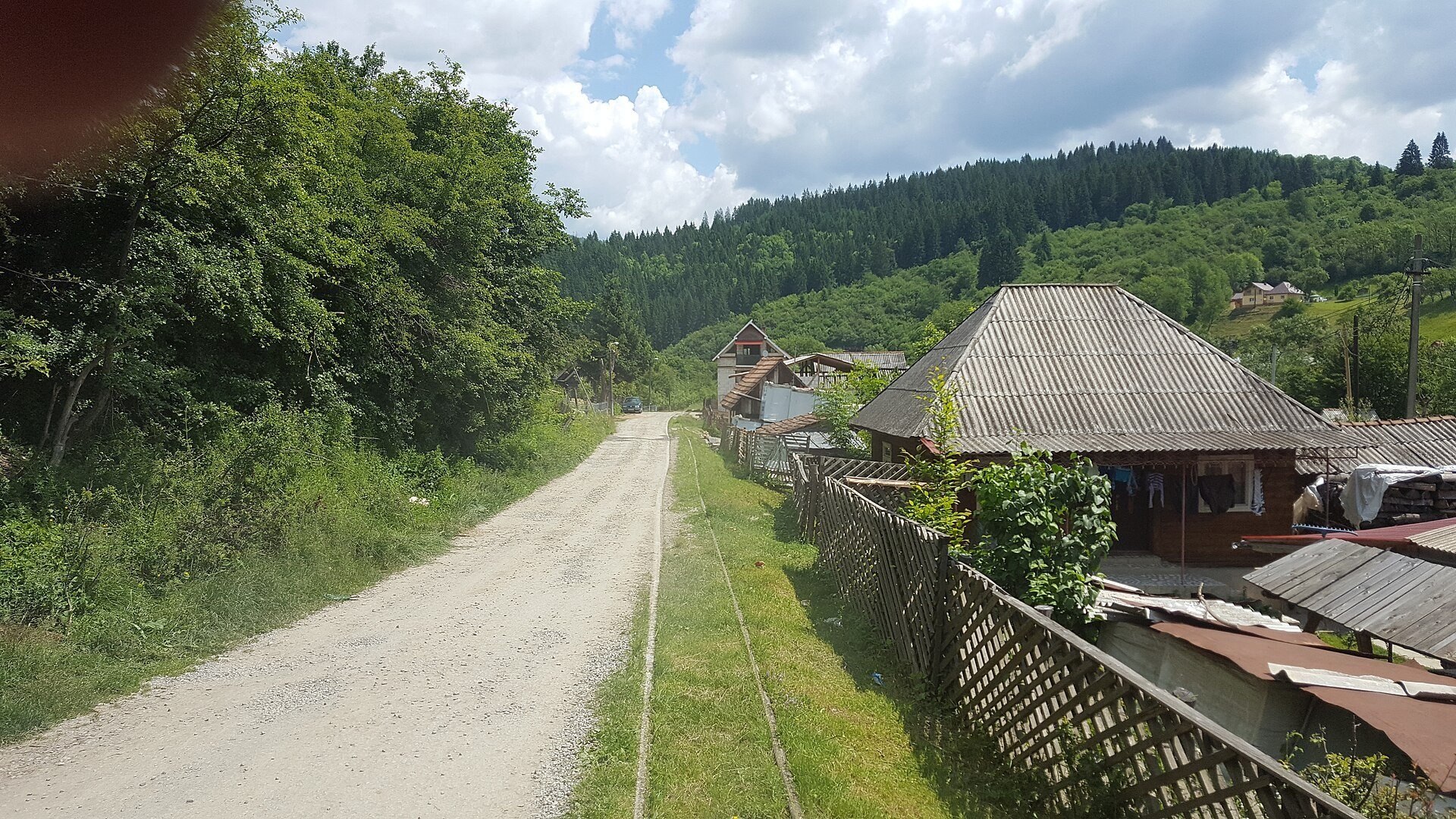
The train that stopped when you waved
The narrow-gauge railway along the Arieș valley was officially opened on 20 June 1912. It linked the town of Turda with mountain Abrud in Țara Moților, the Moți Land — the heart of the Apuseni Mountains, long home to woodcutters, carpenters and miners. The 94 km line had 27 stations and halts, and the train took about six and a half hours to cover it. Locals remember that it stopped not only at stations but anywhere in between if someone waved from the roadside. Steam locomotives pulled the trains until the 1970s, and the line was closed in 1998.
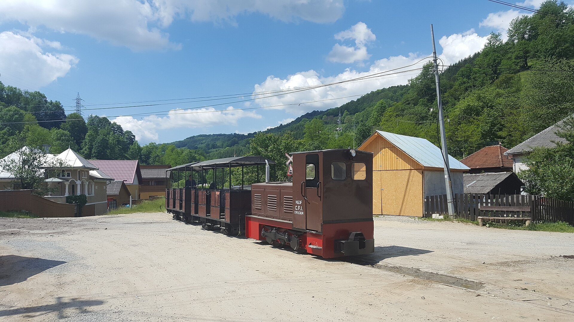
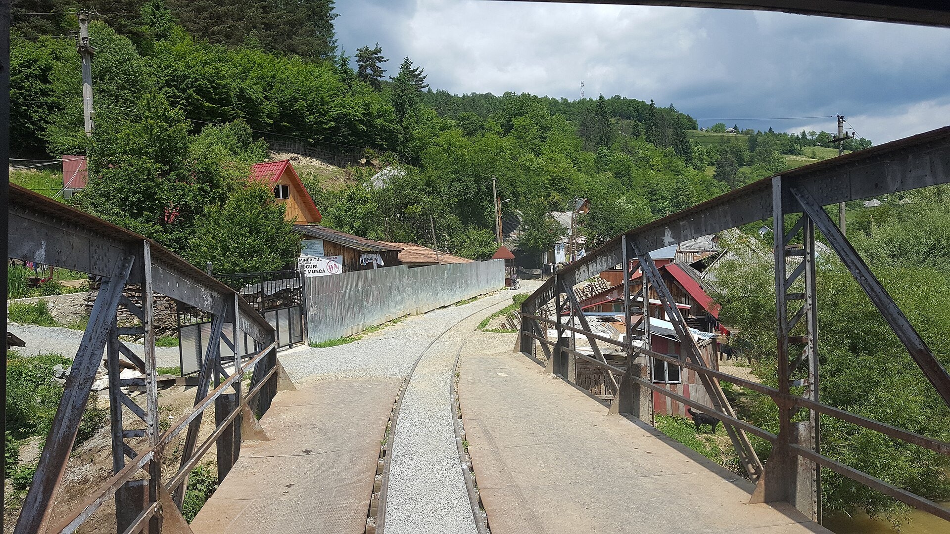
Part of the track in the mountains survived and is now used for tourist rides. Today the train runs between Câmpeni station and the village of Cărpiniș near Abrud, passing Gura Roșiei. The iron bridge in Câmpeni is a listed historic monument. The rides are run by the private operator Mocănițele Apusenilor, which also looks after the short Brad–Crișcior line.
Why go
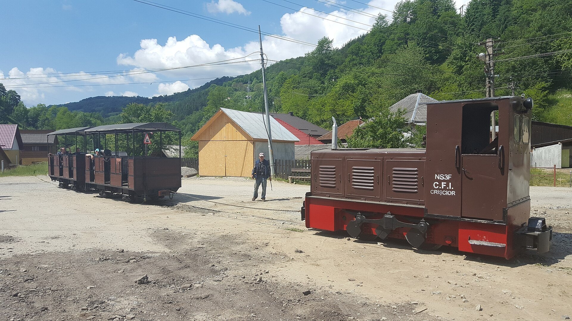
It is a relaxed family outing in the rhythm of old trains: small open carriages, a slow pace, wooden Moți houses along the track and the green slopes of the Apuseni. The return trip takes about two hours, so it combines easily with other things on the same day — caves, waterfalls or a stroll in Abrud. For children it is often their first narrow-gauge ride; for adults it is a chance to see mountain villages from a train window, as passengers once did on their way to market.
A fair warning: in the 2026 season, according to the operator, the trains are hauled by diesel locomotives «for technical reasons», not by steam. The old steam engines can be seen at the stations.
What to see and try
- Câmpeni station — all trips start here, with an old steam engine on display nearby.
- The iron bridge in Câmpeni — a historic monument at the start of the route.
- The Gura Roșiei stretch — the track runs along the road and stream between mountain houses.
- Abrud station — the old narrow-gauge station, also with a steam engine.
- Open summer carriages — the best spot for photos on a warm day.
Practical information
Getting there: Câmpeni station is on road DN74A, in the Vârși district. Câmpeni is about 100 km from Cluj-Napoca via Turda and about 75 km from Alba Iulia via Abrud. From Ukraine the nearest border crossing is Solotvyno – Sighetu Marmației, about 300 km away.
Timetable (2026 season, operator's website): every Saturday and Sunday from 8 July to 10 September, departures from Câmpeni station at 10:00, 13:00 and 15:00. On weekdays one 15:00 run is possible if enough online bookings are made by 12:00; passengers get a phone call confirming the trip.
Fares (2026 season): adults 40 lei, children 30 lei return. Seats can be booked on the operator's website; e-mail: [email protected]. The timetable changes from year to year, so check it before you travel.
Nearby
- Pișoaia waterfall — west of Câmpeni in the Arieș valley.
- Gârda de Sus – Scărișoara Ice Cave trail to one of the Apuseni's best-known caves.
- Muntele Mare — one of the highest peaks of the Apuseni.
- Roșia Montană — an old mining village a few kilometres from Abrud.
Photos: Jan Pešula, CC0, Wikimedia Commons; Nordwaldedampflok, CC BY 4.0, Wikimedia Commons; 8474tim (talk), CC BY-SA 3.0, Wikimedia Commons.
Getting there from Ukraine
Border crossings
- Porubne – Siret — road and pedestrian, 24/7
- Diakivtsi – Racovăț — road and pedestrian, 24/7 No freight traffic.
- Krasnoilsk – Vicovu de Sus — road and pedestrian, 08:00–20:00 Cars up to 3.5 t and pedestrians only; not 24/7.
- Solotvyno – Sighetu Marmației — road and pedestrian, 24/7 Passenger traffic only: vehicles up to 3.5 t with up to 9 seats, pedestrians.
- Diakove – Halmeu — road, 24/7 No pedestrian crossing.
By car
Rakhiv – Cluj-Napoca ≈219 km, ≈3 h 44 min (via Solotvyno – Sighetu Marmației); Ivano-Frankivsk – Cluj-Napoca ≈353 km, ≈6 h 04 min (via Solotvyno – Sighetu Marmației); Chernivtsi – Cluj-Napoca ≈343 km, ≈6 h 28 min (via Krasnoilsk – Vicovu de Sus). Times without border queues, our road routing (GraphHopper, OSM).
Checked 03.11.2026; border crossing hours and timetables change — check before you travel.
Reviews
Travellers’ experience: reports, tips, questions.
No reviews yet. Stayed here? Share your impressions.
Location on the map
Trails nearby
All trails Hard1–2 daysMarkedBuceș-Vulcan Pass Mount GăinaElevation profile746–1 467 m33.1 kmascent 1 428 m≈ 10.5 h walking11 km from Apuseni Narrow-Gauge Train: Câmpeni–Abrud ride in Moți Land
 HardOne-dayMarkedMăguri-Răcătău Mount SmideleElevation profile720–1 643 m25.3 kmascent 1 002 m≈ 8 h walking17 km from Apuseni Narrow-Gauge Train: Câmpeni–Abrud ride in Moți Land
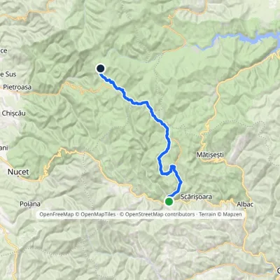 Hard1–2 daysMarkedGârda de Sus Vărășoaia SaddleElevation profile727–1 436 m31.8 kmascent 1 186 m≈ 10 h walking21 km from Apuseni Narrow-Gauge Train: Câmpeni–Abrud ride in Moți Land
Nearby attractions
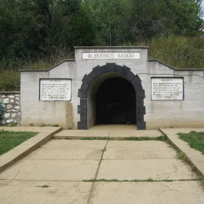 Historic siteRoșia Montană: Roman gold mines (UNESCO)Bălmoșești6.8 km from Apuseni Narrow-Gauge Train: Câmpeni–Abrud ride in Moți LandAlburnus Maior — the gold of Roman Dacia Roșia Montană (Hungarian Verespatak, German Goldbach) is a mining village in the Apuseni Mountains, in Transylvania's so...
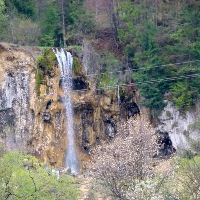 WaterfallPișoaia Waterfall (Cascada Pișoaia)Nemeși · Bihor-Vlădeasa Mountains15 km from Apuseni Narrow-Gauge Train: Câmpeni–Abrud ride in Moți Landheight 18 m704 m above sea levelPișoaia Waterfall (Cascada Pișoaia; the name Cascada Miresii is also used) is a landscape reserve in the north-west of Alba County, in the Apuseni Mountains, not far...
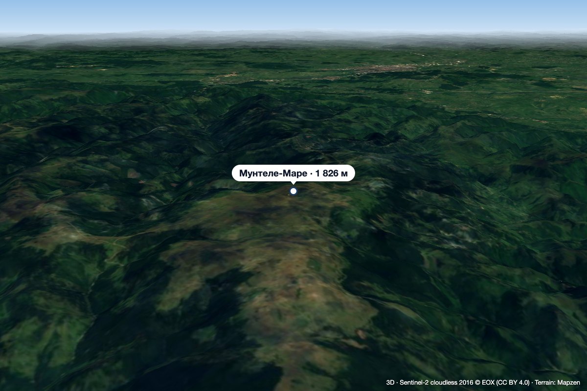 PeakMuntele MareSăgageaaltitude 1 826 m19 km from Apuseni Narrow-Gauge Train: Câmpeni–Abrud ride in Moți LandMuntele Mare (Romanian Vârful Muntele Mare, Hungarian Öreghavas) is a 1,826 m summit in the eastern part of the Apuseni Mountains (Western Romanian Carpathians).