Haligovce
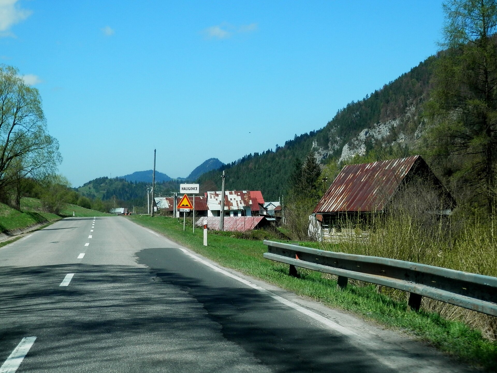
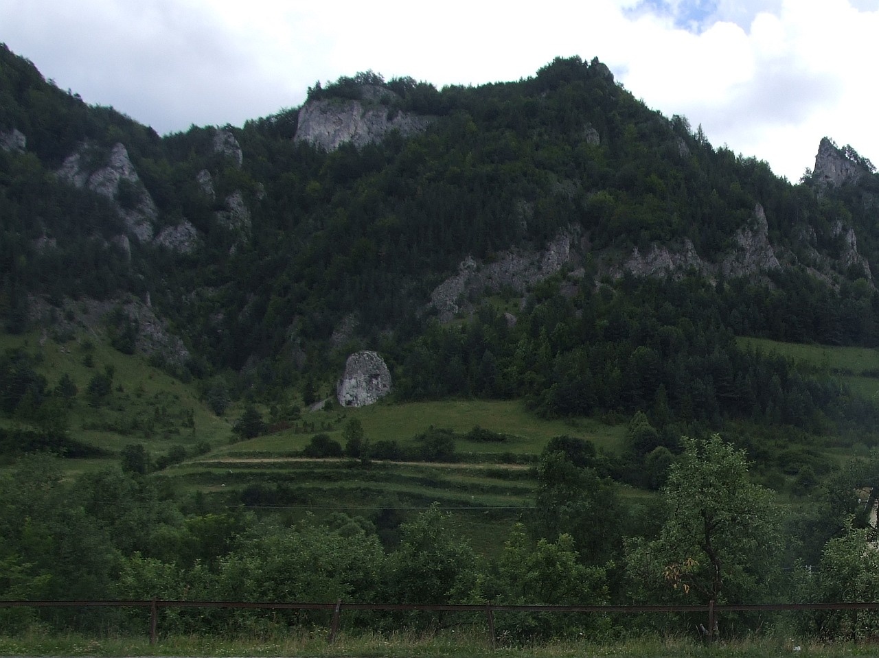
Photos: Ing.Mgr.Jozef Kotulič, CC BY-SA 4.0 (Wikimedia Commons); Jerzy Opioła, CC BY-SA 4.0 (Wikimedia Commons)
Haligovce is a village in Slovakia.
Elevation: about 506 m above sea level. Population: 655 (2025). Mountains nearby: Spiš Magura.
Here and nearby on the site: 1 trail.
Facts: Wikidata, OpenStreetMap. More on Wikipedia
Trails nearby
All trails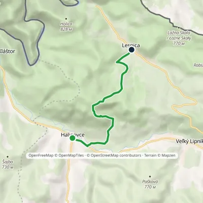 EasyOne-dayMarkedLesnica, cemetery HaligovceElevation profile500–866 m5.6 kmascent 357 m≈ 2 h walkingunder 1 km from the centre
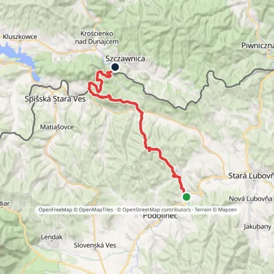 HardMulti-dayMarkedPieninská cestaElevation profile428–1 085 m33 kmascent 1 002 m≈ 10.5 h walking1.2 km from the centre
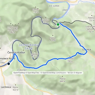 EasyOne-dayMarkedÚstie Lesnického potoka Sromowce NiżneElevation profile447–688 m8.3 kmascent 304 m≈ 2.5 h walking2 km from the centre
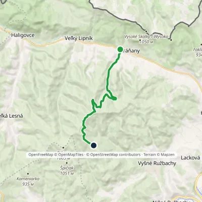 ModerateOne-dayMarkedVeterný vrch PlontanaElevation profile622–1 113 m10.3 kmascent 488 m≈ 3.5 h walking5.8 km from the centre
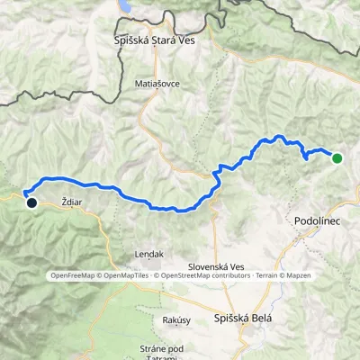 HardMulti-dayMarkedVyšné Ružbachy, spa Strednica, ski areaElevation profile637–1 198 m34.1 kmascent 1 105 m≈ 10.5 h walking6.8 km from the centre
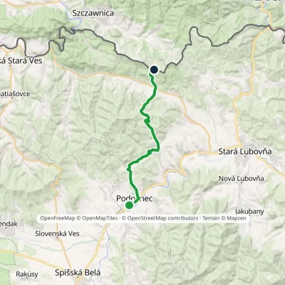 ModerateTwo-dayMarkedVyšné Ružbachy, spa JaworkiElevation profile565–1 000 m20.2 kmascent 762 m≈ 6.5 h walking7.8 km from the centre
Peaks nearby
All peaks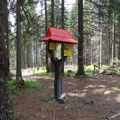 PeakSlodičovský vrchMalá Frankováaltitude 1 167 m15 km from the centreSlodičovský vrch (Polish Słodyczowski Wierch) is a 1167 m summit on the main ridge of the Spišská Magura in northern Slovakia.
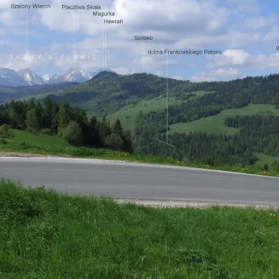 PeakMagurkaOsturňaaltitude 1 193 m16 km from the centreMagurka is a 1193 m summit in the central part of the Spišská Magura in northern Slovakia. It rises above the village of Ždiar, about 17 km north-west of the town of...
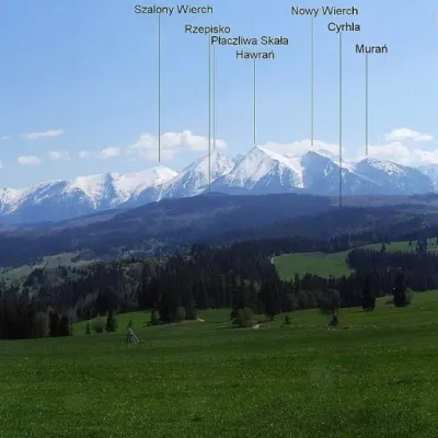 PeakPriehrštieOsturňaaltitude 1 209 m18 km from the centrePriehrštie (also Javorinka or Penčákova hora; Polish Prehrštie) is a 1209 m summit in the Spišská Magura in northern Slovakia.
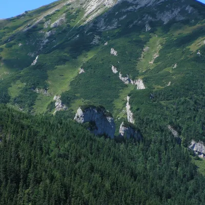 PeakBujačí vrchKežmarské Žľabyaltitude 1 947 m21 km from the centreBujačí vrch (Polish Bujaczy Wierch, German Stirnberg) is a 1,947 m summit on the main ridge of the Belianske Tatras in Slovakia and the last high mountain at the...
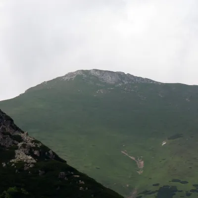 PeakHlúpyKežmarské Žľabyaltitude 2 061 m23 km from the centreHlúpy (also Šialený vrch, "Crazy Peak"; Polish Szalony Wierch; German Törichter Gern) is a 2061 m summit in the Slovak Belianske Tatras and the third highest of this...
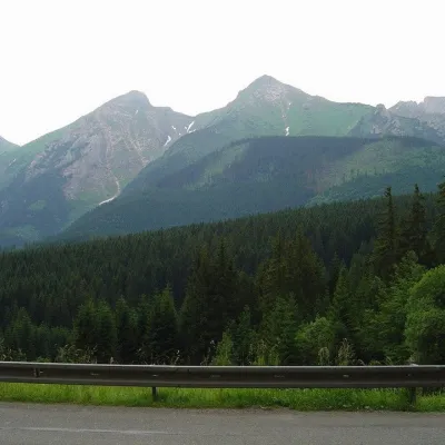 PeakŽdiarska vidlaKežmarské Žľabyaltitude 2 142 m23 km from the centreŽdiarska vidla (Polish Płaczliwa Skała, German Greiner) is a 2,142 m summit, the second highest in the Belianske Tatras after neighbouring Havran (2,152 m).
What to visit
All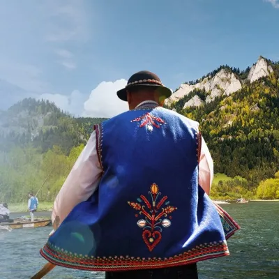 Ethno tours & guidesGoral raftsmen of Červený Kláštor: wooden-raft trip on the DunajecČervený Kláštor3.3 km from the centreBetween Červený Kláštor and Lesnica the Dunajec cuts a deep, winding gorge through the limestone Pieniny, and here the river becomes the border between Slovakia and...
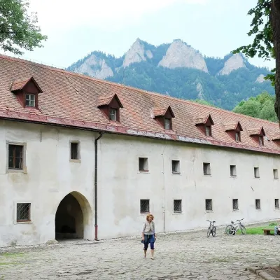 MuseumČervený Kláštor — Carthusian monastery in the PieninyČervený Kláštor3.4 km from the centreA monastery of “silent” monks on the Dunajec Červený Kláštor (“Red Monastery”) is a village and former monastery on the Slovak bank of the Dunajec, right opposite the...
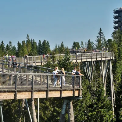 ArchitectureBachledka Treetop WalkMalá Franková14 km from the centreThe Bachledka Treetop Walk (Chodník korunami stromov Bachledka) is a wooden footbridge above the forest on a ridge of the Spišská Magura hills, over the Bachledova...
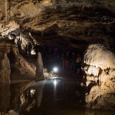 NatureBelianska CaveKežmarské Žľaby19 km from the centreBelianska Cave (Belianska jaskyňa) is the only show cave in the High Tatras and one of the most visited in Slovakia.
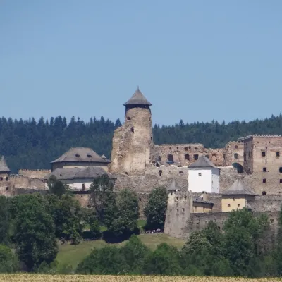 CastleĽubovňa CastleStará Ľubovňa19 km from the centreĽubovňa Castle (Ľubovniansky hrad) stands on a 548 m limestone hill above the town of Stará Ľubovňa and the left bank of the Poprad.
 LakeBiele plesá (White Tarns)Kežmarské Žľaby23 km from the centreBiele plesá (the White Tarns) are a group of nine small lakes in Dolina Bielych plies in the north-east of the High Tatras, in the Tatra National Park (TANAP).
Craft nearby
All craft places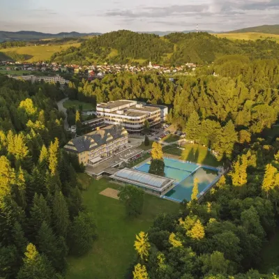 Water parks & thermal poolsVyšné Ružbachy Spa: Izabela Mountain Pools and Indoor Thermal PoolVyšné Ružbachy11 km from the centreVyšné Ružbachy is one of Slovakia’s oldest spas. It lies on the south-eastern slope of the Spišská Magura at about 617 m, surrounded by coniferous forest that merges...
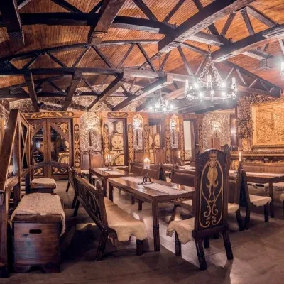 Craft producersNestville Distillery, Hniezdne — Home of the First Slovak WhiskyHniezdne16 km from the centreThis tradition is the basis for BGV, a company founded in 2001, which built the Nestville Distillery here.
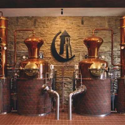 Craft producersCastle Distillery below Ľubovňa Castle: fruit spirits and tastingsStará Ľubovňa19 km from the centreStará Ľubovňa is a town in northern Spiš, overlooked by Ľubovňa Castle. For more than three and a half centuries Ľubovňa was one of the Spiš towns pledged to the...
Spas and thermal pools nearby
Huts, shelters and springs nearby
Getting there from Ukraine
Border crossings
- Uzhhorod – Vyšné Nemecké — road, 24/7
- Malyi Bereznyi – Ubľa — road, 24/7 For cars and buses; pedestrians not confirmed by the Ukrainian border service, lorries up to 3.5 t.
- Mali Selmentsi – Veľké Slemence (pedestrian) — pedestrian, 09:00–21:00 Kyiv time Pedestrians and cyclists only; inconvenient for the Tatras without onward transport.
- Chop – Čierna nad Tisou (rail) — rail, 24/7
By car
From Lviv ≈382 km, ≈5 h 15 min without queues: M-10 → Krakovets – Korczowa → A4 to Brzesko → DK75 to Nowy Sącz → DK87 via Piwniczna-Zdrój to the internal Schengen crossing Piwniczna – Mníšek nad Popradom → I/68 to Stará Ľubovňa (≈304 km, ≈3 h 50 min from the Ukrainian border). From Uzhhorod ≈183 km, ≈3 h: Vyšné Nemecké → I/19 to Košice → D1 to Prešov → I/68 via Sabinov and Lipany to Stará Ľubovňa. Via Uzhok and Ubľa ≈408 km, ≈6 h 55 min. The D1 requires an e-vignette (eznamka.sk).
Checked 23.10.2026; border crossing hours and timetables change — check before you travel.
