Priehrštie
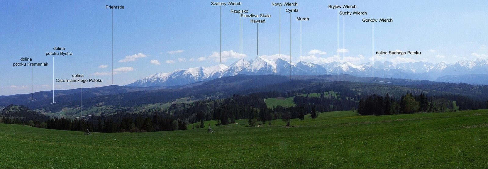
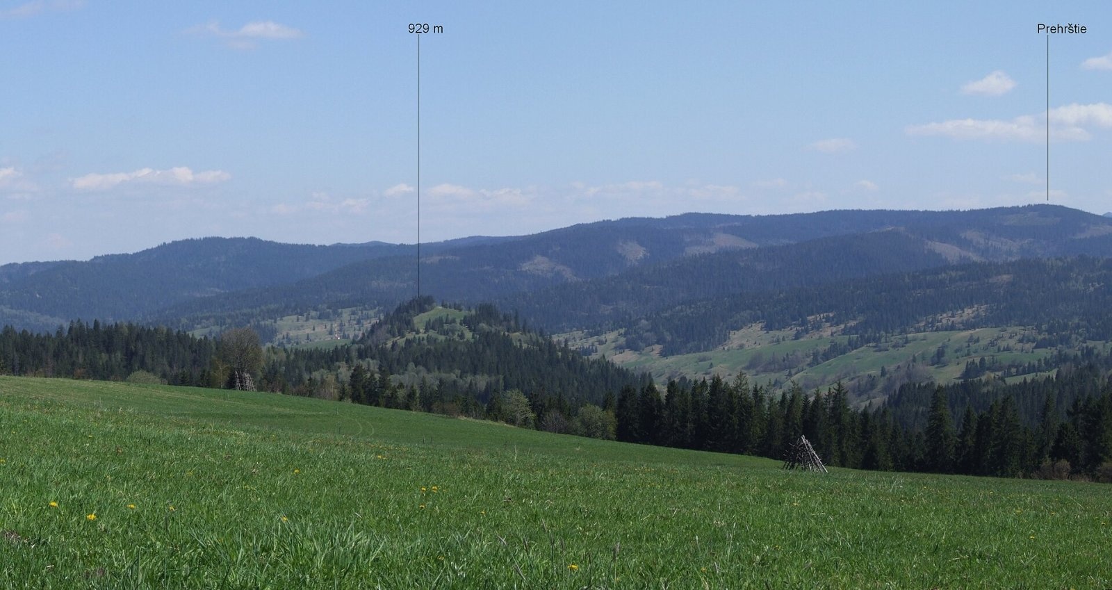
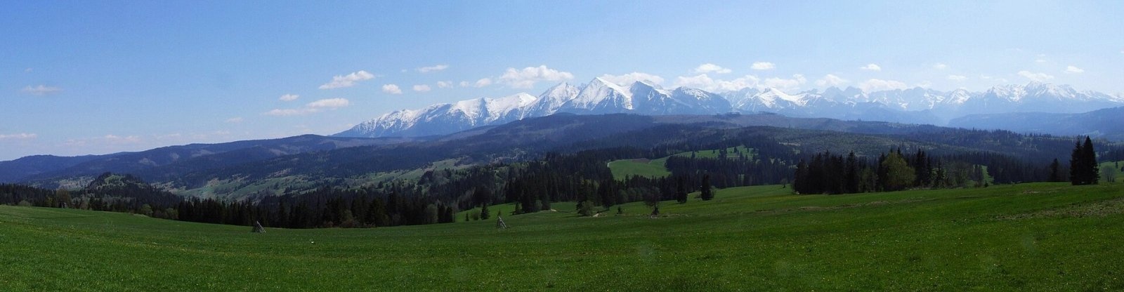
Priehrštie (also Javorinka or Penčákova hora; Polish Prehrštie) is a 1209 m summit in the Spišská Magura in northern Slovakia. It lies in the western part of the main ridge, between Príslop (1214 m) and Magurka (1193 m), above the village of Ždiar, about 18 km north-west of the town of Spišská Belá. The summit sits on the boundary of the Kežmarok and Poprad Districts of the Prešov Region and extends into the cadastres of Osturňa and Ždiar. The nearest villages are Ždiar at its southern foot (about 3 km), Osturňa to the north (5 km), Malá Franková to the north-east (5 km) and Veľká Franková (6 km).
Priehrštie is the junction of a long spur that drops north to the valley of the Osturniansky potok and separates the valleys of the Bystrá and Kremeniak streams. The south-eastern slopes fall to the Ždiar valley, drained by the Zorický potok. To the north lie Bystrý vrch (991 m), Malorovka (957 m) and Zlomiská (1019 m), to the east Solisko (1123 m), Vysoký vrch (1104 m) and Slodičovský vrch (1167 m), to the west Strednica (1127 m) and Repisko (1259 m). The summit's prominence is about 94 m.
How to get there / routes
The main hiking route of the Spišská Magura passes close to the summit, and near Priehrštie it reaches its highest point:
- Blue trail along the main ridge: from the east from Magurské sedlo via Spádik, Smrečiny, Malá poľana and Magurka; from the south-west from Ždiar-Strednica via the Pri Tablici junction. The whole ridge route from Magurské sedlo to Strednica takes about 6 h 50 min.
- Red trail via Magurka: from the south from Ždiar, from the north-east from Malá Franková.
- Yellow trail from the north from Osturňa via Magurka.
- Green trail from Osturňa to the Pri Tablici junction.
What you can see from the top
Continuous, partly sparse forest covers the summit itself, so the view from it is very limited. From the open meadows on the ridge you can see the neighbouring peaks of the Spišská Magura, the nearby Belianske Tatras, further the Levoča Hills, Babia Góra and the border hills of southern Poland. The mountain itself is easy to pick out on panoramas of the Spišská Magura taken from Łapszanka in Poland against the Tatras.
Nature and history
Although the summit is wooded, much of the slopes is open – fields, meadows, clearings and pastures of Ždiar and Osturňa. After 1980 farming gradually stopped here and the land is being reclaimed by forest, though large open areas are still visible on aerial images. Water from the northern slopes flows via the Bystrá and Kremeniak to the Osturniansky potok in the Dunajec basin, from the southern slopes via tributaries of the Ždiarsky potok to the Biela in the Poprad basin. The ridge carries the boundary of the buffer zones of the Pieniny (PIENAP) and Tatra (TANAP) national parks; the south-eastern slopes belong to the TANAP buffer zone.
Safety, season and rules
The ridge route is long and there are no springs by the path on the wooded crest – carry water. In winter the Spišská Magura is under deep snow, so snowshoes or cross-country skis are needed. In the national-park buffer zones do not leave litter and do not light fires outside designated places. In Slovakia the Mountain Rescue Service (HZS) operates: 18 300 (+421 18 300); the general emergency number is 112.
Interesting facts
- The mountain has at least three names: Priehrštie, Javorinka and Penčákova hora.
- Near Priehrštie the blue Spišská Magura ridge route reaches its highest point.
- The ridge forms the watershed between the Dunajec and Poprad basins.
Photos: Jerzy Opioła, CC BY-SA 4.0; Jerzy Opioła, CC BY-SA 4.0; Jerzy Opioła, CC BY-SA 4.0 — Wikimedia Commons.
Getting there from Ukraine
Border crossings
- Uzhhorod – Vyšné Nemecké — road, 24/7
- Malyi Bereznyi – Ubľa — road, 24/7 For cars and buses; pedestrians not confirmed by the Ukrainian border service, lorries up to 3.5 t.
- Mali Selmentsi – Veľké Slemence (pedestrian) — pedestrian, 09:00–21:00 Kyiv time Pedestrians and cyclists only; inconvenient for the Tatras without onward transport.
- Chop – Čierna nad Tisou (rail) — rail, 24/7
By car
Uzhhorod – Poprad ≈195 km, ≈2 h 55 min without queues: Uzhhorod – Vyšné Nemecké checkpoint → I/19 via Sobrance and Michalovce → Košice → D1 motorway via Prešov → Poprad (Liptovský Mikuláš is ≈56 km further on the D1, total ≈249 km). Košice – Poprad ≈112 km. The D1 requires an e-vignette (eznamka.sk). Note: from Lviv the fastest way to Poprad is through Poland — Krakovets – A4 – Kraków – Zakopane – Łysa Polana ≈468 km (≈5 h 50 min); via Uzhok and Malyi Bereznyi ≈419 km but slower (≈6 h 40 min). Zakopane – Poprad ≈69 km, Zakopane – Liptovský Mikuláš ≈80 km.
Checked 23.10.2026; border crossing hours and timetables change — check before you travel.
Location on the map
Comments
Trails nearby
All trails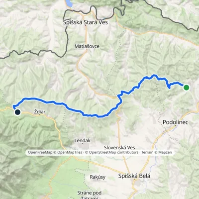 HardMulti-dayMarkedVyšné Ružbachy, spa Strednica, ski areaElevation profile637–1 198 m34.1 kmascent 1 105 m≈ 10.5 h walkingunder 1 km from Priehrštie
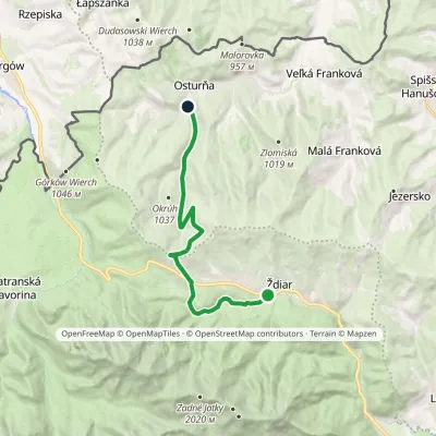 ModerateOne-dayMarkedŽdiar, Tatra Osturňa, Pod Bystrou ValleyElevation profile738–1 135 m13.5 kmascent 261 m≈ 4 h walkingunder 1 km from Priehrštie
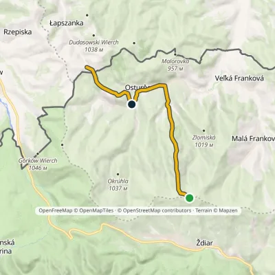 EasyOne-dayMarkedMagurka Łapszanka, chapelElevation profile694–1 179 m10.6 kmascent 272 m≈ 3 h walking1.1 km from Priehrštie
Nearby attractions
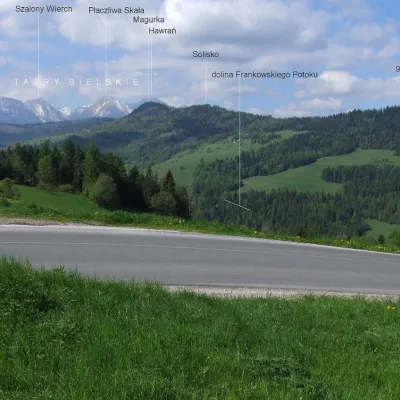 PeakMagurkaOsturňaaltitude 1 193 m1.9 km from PriehrštieMagurka is a 1193 m summit in the central part of the Spišská Magura in northern Slovakia. It rises above the village of Ždiar, about 17 km north-west of the town of...
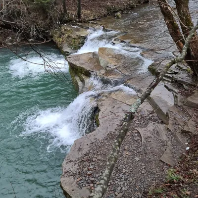 WaterfallKacwinianka Waterfalls, KacwinKacwin7.4 km from PriehrštieThe waterfalls of the Kacwinianka are several natural steps on the river that flows through the Spiš village of Kacwin, in the commune of Łapsze Niżne, Nowy Targ...
 LakeBiele plesá (White Tarns)Kežmarské Žľaby7.8 km from PriehrštieBiele plesá (the White Tarns) are a group of nine small lakes in Dolina Bielych plies in the north-east of the High Tatras, in the Tatra National Park (TANAP).
Craft nearby
All craft places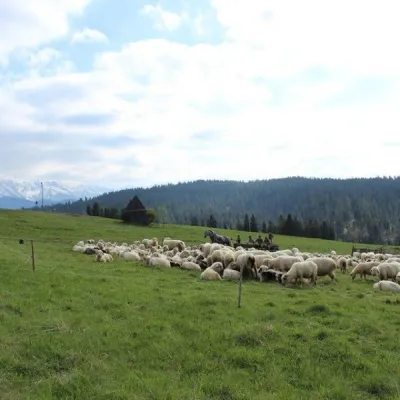 Cheese dairies & pasturesU Jancoka Shepherd's Hut, Brzegi: oscypek from Poland's first female bacaBrzegi10 km from PriehrštieThe U Jancoka shepherd's hut (bacówka) stands beside regional road 960, which runs from Bukowina Tatrzańska to the Łysa Polana border crossing, in the village of Brzegi.
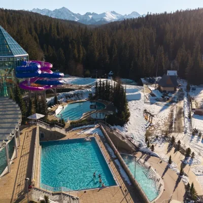 Water parks & thermal poolsTermy BukovinaBukowina Tatrzańska11 km from PriehrštieTermy Bukovina is a modern thermal pool complex in Bukowina Tatrzańska, a village lying about a thousand metres above sea level on the edge of the Tatra National Park.
 Cheese dairies & pasturesShepherd's Hut on Rusinowa PolanaBrzegi11 km from PriehrštieRusinowa Polana is one of the most beautiful mountain glades in the Polish Tatras, and from May to October it is home to the bacówka (shepherd's hut) of baca Stanisław...
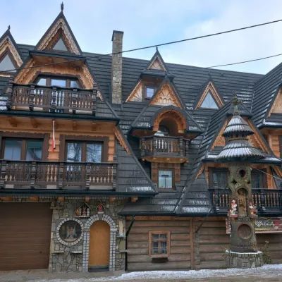 Crafts & workshopsDrewutnia, Bukowina Tatrzańska: glass painting workshops and highland furnitureBukowina Tatrzańska11 km from PriehrštieDrewutnia ("the woodshed") calls itself a "shop for cultural needs". It is the family business of the Kuchtas of Bukowina Tatrzańska, who say they have lived here...
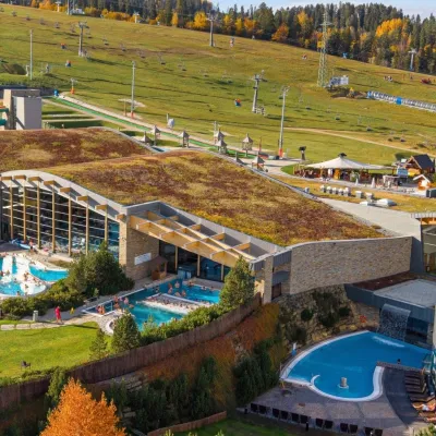 Water parks & thermal poolsTerma BaniaBiałka Tatrzańska15 km from PriehrštieTerma Bania is a large thermal water park in the village of Białka Tatrzańska, at the foot of the Kotelnica ski slope.
 Water parks & thermal poolsClimatic spas of the High Tatras: Nový Smokovec, Polianka, KotlinaVysoké Tatry17 km from PriehrštieNový Smokovec is the best known of the climatic spas of the High Tatras. It grew up in a spruce forest at about 1010 m, south-west of Starý Smokovec, with which it...
