Magurka – Łapszanka, chapel
Trail map
Route, springs and shelters: © OpenStreetMap contributors (ODbL) · elevation: Copernicus DEM © DLR e.V., © Airbus DS · Data & licences
About the trail
Route Magurka – Łapszanka, chapel. Has yellow marking (regional route №8758, KST). Waymarking data: OpenStreetMap (© OpenStreetMap contributors, ODbL).
Officially marked regional tourist route No. 8758. The marking is yellow, the sign is a horizontal stripe on a white background. Marked and maintained by: KST. The length of the route is 10.6 km. Location: mountain range – Spišská Magura, Slovakia.
Attention: part of the route has not yet been mapped in OpenStreetMap, so the line on the map has gaps. On the ground, orient yourself by the marking signs.
At a glance
A one-day route of 10.6 km with 272 m of ascent and 713 m of descent from Magurka to Łapszanka, chapel. Estimated walking time: about 3 h, not counting stops. Difficulty: easy. Waymarking: yellow.
Route stages
- 0–2 kmGentle ups and downs at 1,080–1,180 m, past Magurka
- 2–4 kmDescent of 370 m (down to 710 m)
- 4–6 kmGentle ups and downs at 690–750 m
- 6–8 kmClimb of 200 m to Pass above Łapszanka
- 8–11 kmDescent of 200 m to Łapszanka, chapel
Steepest kilometre: km 3–4, a descent of 170 m (≈21%).
Water and overnight stays
A spring near the trail: at km 4.
When to go
Best time: May to October. In winter deep snow is possible, so experience and winter gear are needed.
Getting there
Start: Magurka. This is a one-way route: the finish is 5 km from the start in a straight line, so plan your way back in advance.
FAQ
- How long does the route take?
- Estimated walking time: about 3 h, not counting stops.
- Is there water on the route?
- A spring near the trail: at km 4.
Water and shelter on the route
- Spring below Vŕšok (south-west slope)km 4.8 from the start · Not verified · 718 m
Comments
Trails nearby
All trails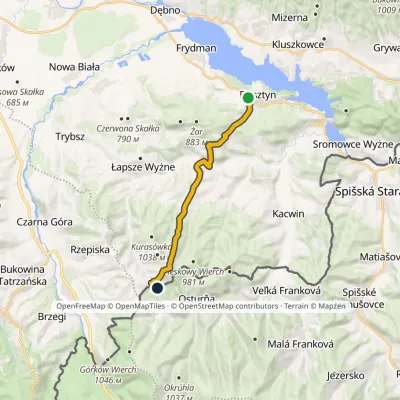 ModerateOne-dayMarkedFalsztyn Saddle above ŁapszankaElevation profile579–1 021 m13.3 kmascent 556 m≈ 4.5 h walking
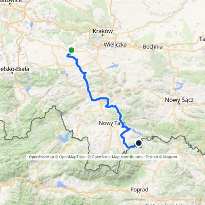 HardMulti-dayMarkedBrzeźnica KacwinElevation profile220–1 289 m143 kmascent 4 206 m
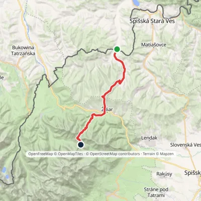 HardTwo-dayMarkedTatranská magistrála (Tatra Highway)Elevation profile613–1 933 m21.2 kmascent 1 744 m≈ 9 h walking
Craft nearby
All craft places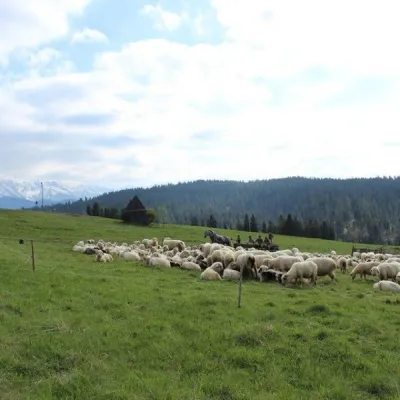 Cheese dairies & pasturesU Jancoka Shepherd's Hut, Brzegi: oscypek from Poland's first female bacaBrzegi12 km from the trailThe U Jancoka shepherd's hut (bacówka) stands beside regional road 960, which runs from Bukowina Tatrzańska to the Łysa Polana border crossing, in the village of Brzegi.
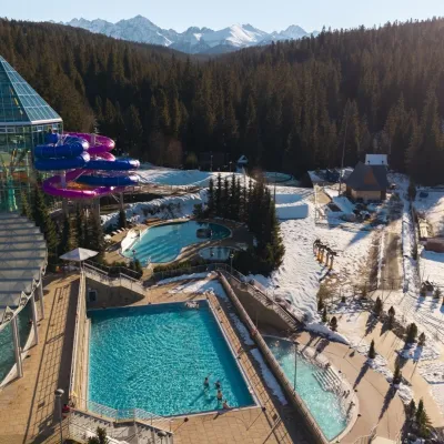 Water parks & thermal poolsTermy BukovinaBukowina Tatrzańska13 km from the trailTermy Bukovina is a modern thermal pool complex in Bukowina Tatrzańska, a village lying about a thousand metres above sea level on the edge of the Tatra National Park.
 Cheese dairies & pasturesShepherd's Hut on Rusinowa PolanaBrzegi13 km from the trailRusinowa Polana is one of the most beautiful mountain glades in the Polish Tatras, and from May to October it is home to the bacówka (shepherd's hut) of baca Stanisław...
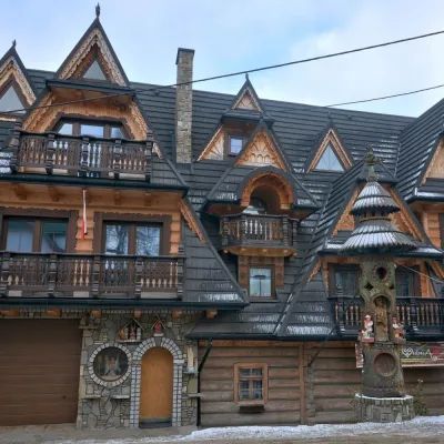 Crafts & workshopsDrewutnia, Bukowina Tatrzańska: glass painting workshops and highland furnitureBukowina Tatrzańska13 km from the trailDrewutnia ("the woodshed") calls itself a "shop for cultural needs". It is the family business of the Kuchtas of Bukowina Tatrzańska, who say they have lived here...
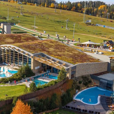 Water parks & thermal poolsTerma BaniaBiałka Tatrzańska16 km from the trailTerma Bania is a large thermal water park in the village of Białka Tatrzańska, at the foot of the Kotelnica ski slope.
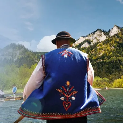 Ethno tours & guidesGoral raftsmen of Červený Kláštor: wooden-raft trip on the DunajecČervený Kláštor16 km from the trailBetween Červený Kláštor and Lesnica the Dunajec cuts a deep, winding gorge through the limestone Pieniny, and here the river becomes the border between Slovakia and...
