Magurka
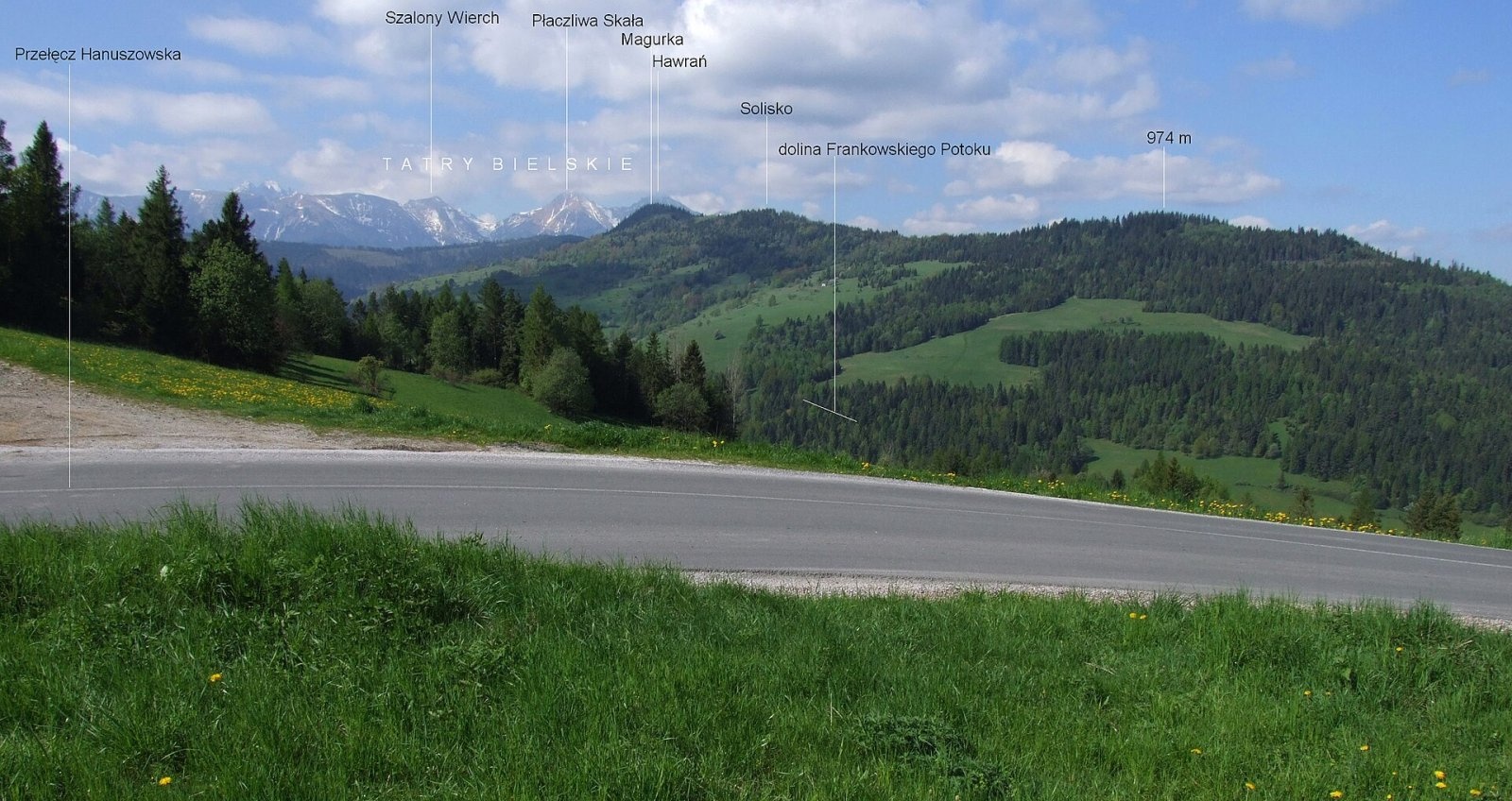
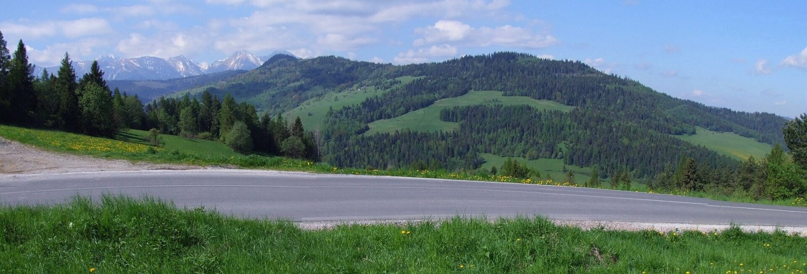
Magurka is a 1193 m summit in the central part of the Spišská Magura in northern Slovakia. It rises above the village of Ždiar, about 17 km north-west of the town of Spišská Belá. The hill lies in the Prešov Region, on the boundary of the Kežmarok and Poprad Districts, and extends into the cadastres of Osturňa, Malá Franková and Ždiar. The nearest settlements are Ždiar at its southern foot (about 2 km) and Malá Franková to the north-east (3.5 km); Osturňa and Veľká Franková lie to the north, Jezersko, Reľov and Lendak to the east.
Magurka stands on the main ridge of the Spišská Magura between Priehrštie (1209 m) and Slodičovský vrch (1167 m). Its fairly distinct, fully wooded top is the junction of two side ridges. To the north-east runs a ridge descending to Veľká Franková over Solisko (1123 m) and Poľana (974 m), separating the valley of the Frankovský potok from that of a tributary of the Osturniansky potok. To the north, towards the Ždiar valley, runs a shorter ridge forming the western rim of the Mlynárska dolina.
How to get there / routes
Magurka is an important crossroads of several routes (the junction below Magurka). All of them bypass the wooded top, traversing its southern and eastern slopes:
- Red trail (hiking and ski) – from Ždiar over Magurka and its north-eastern ridge to Veľká Franková, about 2 h 45 min in total (3 h 15 min the other way).
- Blue trail along the main ridge – from Ždiar-Strednica via Priehrštie to Magurské sedlo via Smrečiny and Malá poľana; the whole ridge section takes about 6 h 15 min.
- Yellow trail – from Osturňa past the Osturnianske jazero lake to the junction below Magurka, about 2 h up, 1 h 35 min down.
What you can see from the top
Sparse, patchy forest covers the top, so the view from the summit itself is limited. On the eastern side, however, there are large clearings with wide views. From there you see the neighbouring peaks of the Spišská Magura, the nearby Belianske Tatras with Havran (2152 m) and Hlúpy (2061 m), the Levoča Hills, Babia Góra and the border hills of southern Poland.
Nature and history
The northern part of the ridge drains via tributaries of the Osturniansky potok to the Dunajec, while water from the southern slopes flows via tributaries of the Biela to the Poprad, so the watershed of the two basins runs over Magurka. The ridge carries the boundary of the buffer zones of the Pieniny (PIENAP) and Tatra (TANAP) national parks.
Safety, season and rules
The routes are easy but long; there are hardly any springs on the ridge, so carry water. In winter the red trail is also a ski route – in snow you need cross-country skis or snowshoes. In the national-park buffer zones do not leave litter and do not light fires outside designated places. In Slovakia the Mountain Rescue Service (HZS) operates: 18 300 (+421 18 300); the general emergency number is 112.
Interesting facts
- No marked trail goes to the very top – all of them skirt it on the slopes.
- The yellow trail from Osturňa passes the Osturnianske jazero lake.
- The Dunajec–Poprad watershed runs over Magurka.
Photos: Jerzy Opioła, CC BY-SA 4.0; Jerzy Opioła, CC BY-SA 4.0 — Wikimedia Commons.
Getting there from Ukraine
Border crossings
- Uzhhorod – Vyšné Nemecké — road, 24/7
- Malyi Bereznyi – Ubľa — road, 24/7 For cars and buses; pedestrians not confirmed by the Ukrainian border service, lorries up to 3.5 t.
- Mali Selmentsi – Veľké Slemence (pedestrian) — pedestrian, 09:00–21:00 Kyiv time Pedestrians and cyclists only; inconvenient for the Tatras without onward transport.
- Chop – Čierna nad Tisou (rail) — rail, 24/7
By car
Uzhhorod – Poprad ≈195 km, ≈2 h 55 min without queues: Uzhhorod – Vyšné Nemecké checkpoint → I/19 via Sobrance and Michalovce → Košice → D1 motorway via Prešov → Poprad (Liptovský Mikuláš is ≈56 km further on the D1, total ≈249 km). Košice – Poprad ≈112 km. The D1 requires an e-vignette (eznamka.sk). Note: from Lviv the fastest way to Poprad is through Poland — Krakovets – A4 – Kraków – Zakopane – Łysa Polana ≈468 km (≈5 h 50 min); via Uzhok and Malyi Bereznyi ≈419 km but slower (≈6 h 40 min). Zakopane – Poprad ≈69 km, Zakopane – Liptovský Mikuláš ≈80 km.
Checked 23.10.2026; border crossing hours and timetables change — check before you travel.
Location on the map
Comments
Trails nearby
All trails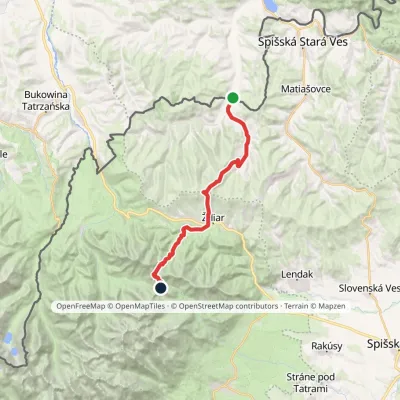 HardTwo-dayMarkedTatranská magistrála (Tatra Highway)Elevation profile613–1 933 m21.2 kmascent 1 744 m≈ 9 h walkingunder 1 km from Magurka
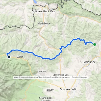 HardMulti-dayMarkedVyšné Ružbachy, spa Strednica, ski areaElevation profile637–1 198 m34.1 kmascent 1 105 m≈ 10.5 h walkingunder 1 km from Magurka
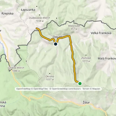 EasyOne-dayMarkedMagurka Łapszanka, chapelElevation profile694–1 179 m10.6 kmascent 272 m≈ 3 h walkingunder 1 km from Magurka
Nearby attractions
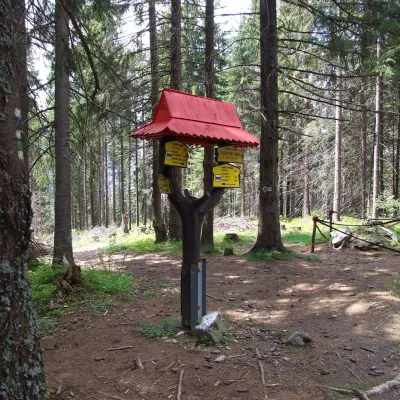 PeakSlodičovský vrchMalá Frankováaltitude 1 167 m1.5 km from MagurkaSlodičovský vrch (Polish Słodyczowski Wierch) is a 1167 m summit on the main ridge of the Spišská Magura in northern Slovakia.
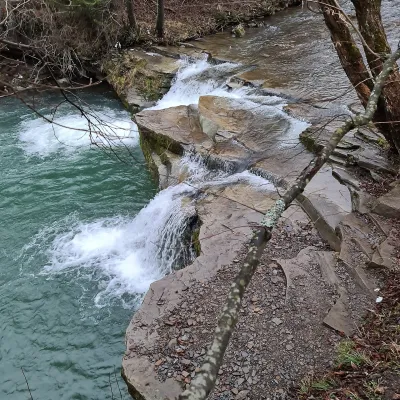 WaterfallKacwinianka Waterfalls, KacwinKacwin6.8 km from MagurkaThe waterfalls of the Kacwinianka are several natural steps on the river that flows through the Spiš village of Kacwin, in the commune of Łapsze Niżne, Nowy Targ...
 LakeBiele plesá (White Tarns)Kežmarské Žľaby8.2 km from MagurkaBiele plesá (the White Tarns) are a group of nine small lakes in Dolina Bielych plies in the north-east of the High Tatras, in the Tatra National Park (TANAP).
Craft nearby
All craft places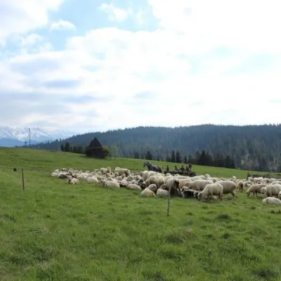 Cheese dairies & pasturesU Jancoka Shepherd's Hut, Brzegi: oscypek from Poland's first female bacaBrzegi12 km from MagurkaThe U Jancoka shepherd's hut (bacówka) stands beside regional road 960, which runs from Bukowina Tatrzańska to the Łysa Polana border crossing, in the village of Brzegi.
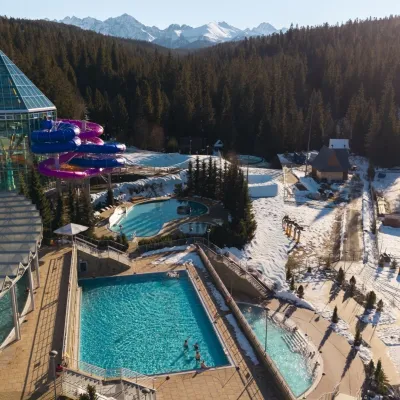 Water parks & thermal poolsTermy BukovinaBukowina Tatrzańska13 km from MagurkaTermy Bukovina is a modern thermal pool complex in Bukowina Tatrzańska, a village lying about a thousand metres above sea level on the edge of the Tatra National Park.
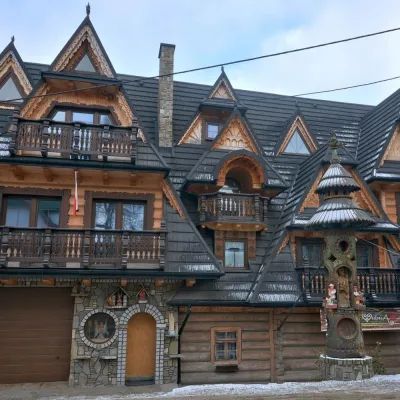 Crafts & workshopsDrewutnia, Bukowina Tatrzańska: glass painting workshops and highland furnitureBukowina Tatrzańska13 km from MagurkaDrewutnia ("the woodshed") calls itself a "shop for cultural needs". It is the family business of the Kuchtas of Bukowina Tatrzańska, who say they have lived here...
 Cheese dairies & pasturesShepherd's Hut on Rusinowa PolanaBrzegi13 km from MagurkaRusinowa Polana is one of the most beautiful mountain glades in the Polish Tatras, and from May to October it is home to the bacówka (shepherd's hut) of baca Stanisław...
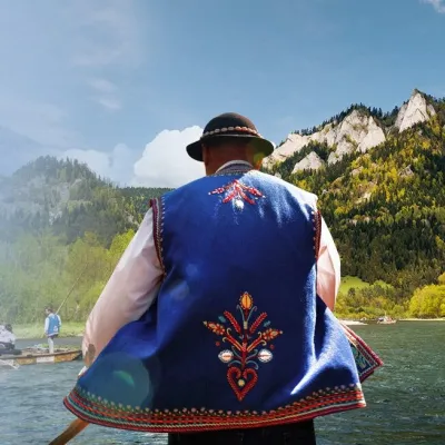 Ethno tours & guidesGoral raftsmen of Červený Kláštor: wooden-raft trip on the DunajecČervený Kláštor16 km from MagurkaBetween Červený Kláštor and Lesnica the Dunajec cuts a deep, winding gorge through the limestone Pieniny, and here the river becomes the border between Slovakia and...
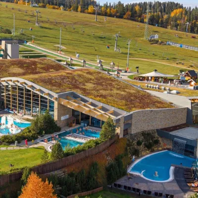 Water parks & thermal poolsTerma BaniaBiałka Tatrzańska16 km from MagurkaTerma Bania is a large thermal water park in the village of Białka Tatrzańska, at the foot of the Kotelnica ski slope.
