Folusz — Konieczna, via Bartne, Radocyna
Trail map
Route, springs and shelters: © OpenStreetMap contributors (ODbL) · elevation: Copernicus DEM © DLR e.V., © Airbus DS · Data & licences
About the trail
Route Folusz – Bartne – Radocyna – Konieczna. Has yellow marking (regional route, PTTK). Waymarking data: OpenStreetMap (© OpenStreetMap contributors, ODbL).
Officially marked regional tourist route. Marking is yellow, sign — horizontal stripe on a white background. Marked and maintained by: PTTK. Length of the route — 31.1 km. Location: mountain range — Low Beskids, Poland.
At a glance
A route of 31.1 km with 862 m of ascent from Folusz to Konieczna. Estimated walking time: about 9 h, not counting stops — a very long day, so it is easier split into 2 days. Difficulty: hard. Waymarking: yellow.
Route stages
- 0–4 kmClimb of 420 m (up to 826 m)
- 4–6 kmDescent of 340 m (down to 487 m)
- 6–9 kmClimb of 210 m (up to 700 m)
- 9–12 kmDescent of 150 m (down to 552 m)
- 12–31 kmGentle ups and downs at 440–630 m
Steepest kilometre: km 2–3, a climb of 210 m (≈21%).
Water and overnight stays
Springs near the trail: at km 20 and 24. There are no springs between km 0 and 20 — carry at least 3.5 l of water.
Huts and shelters near the trail: Hut in Nieznajowa (km 20), Educational Hut (km 23), Radocyna Tent Base Hut (km 24).
A possible split into days:
- Day 1: km 0–14, ≈4.5 h — overnight: no shelter nearby on the map, bring a tent
- Day 2: km 14–31, ≈4.5 h — finish
When to go
The route can be walked most of the year; it is most comfortable from April to October.
Getting there
Start: Folusz. This is a one-way route: the finish is 19 km from the start in a straight line, so plan your way back in advance.
FAQ
- How long does the route take?
- Estimated walking time: about 9 h, not counting stops — a very long day, so it is easier split into 2 days.
- Is there water on the route?
- Springs near the trail: at km 20 and 24. There are no springs between km 0 and 20 — carry at least 3.5 l of water.
- Where can I stay overnight?
- Huts and shelters near the trail: Hut in Nieznajowa (km 20), Educational Hut (km 23), Radocyna Tent Base Hut (km 24).
Water and shelter on the route
- Well with a Cranekm 20.1 from the start · 60 m off the path · Not verified · 441 m
- Hut in Nieznajowakm 20.3 from the start · 70 m off the path · Standing · 446 m
- Educational Hutkm 23.4 from the start · 80 m off the path · Not verified · 491 m
- Radocyna Tent Base Hutkm 23.6 from the start · 60 m off the path · Not verified · 495 m
- Drinking water below Mały Beskidkm 23.6 from the start · 50 m off the path · Not verified · 498 m
Comments
Trails nearby
All trails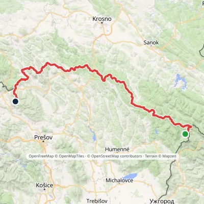
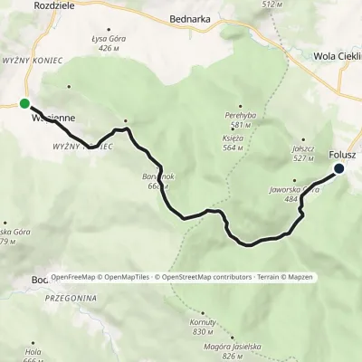
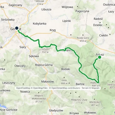
Craft nearby
All craft places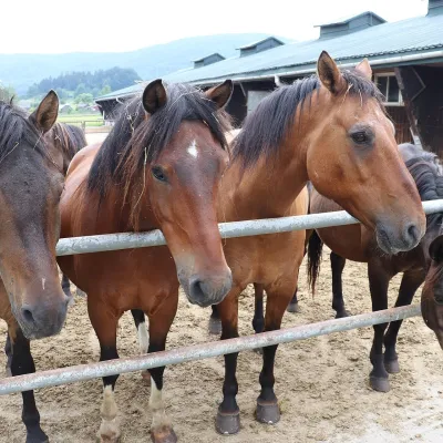 Horse ridingGładyszów Hucul Horse Stud, RegietówGładyszów13 km from the trailThe "Gładyszów" Hucul Horse Stud (Stadnina Koni Huculskich „Gładyszów”) in the Lemko village of Regietów is one of the largest places in the world where Hucul ponies...
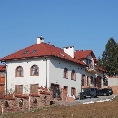 Wine & tastingsDwie Granice Vineyard, Przysieki near Jasło: cellar and tastingsPrzysieki14 km from the trailWinnica Dwie Granice (“Two Borders”) lies in the village of Przysieki a few kilometres west of Jasło, on the Jasło Wine Route.
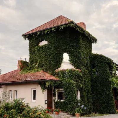 Wine & tastingsVanellus Vineyard, Jareniówka near Jasło: wine tastingsJareniówka17 km from the trailWinnica Vanellus is a small family vineyard in the village of Jareniówka, a few kilometres from the centre of Jasło.
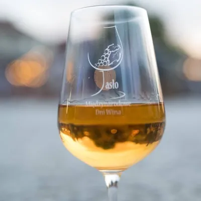 Markets & fairsInternational Wine Days in Jasło: a wine fair on the squareJasło17 km from the trailJasło is a small town in Podkarpacie that is often called one of the cradles of Poland's wine revival.
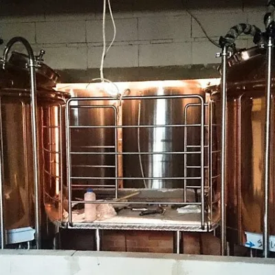 Craft beer & breweriesBrowar Dukla: craft brewery and brewpub on Dukla market squareDukla23 km from the trailDukla is an old small town at the foot of Mount Cergowa, on the historic trade route from Poland to Hungary over the Dukla Pass.
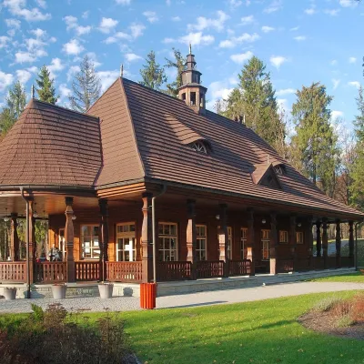 Water parks & thermal poolsWysowa-Zdrój spa: pump room, Franciszek and Henryk watersWysowa-Zdrój24 km from the trailWysowa-Zdrój is a quiet spa at the source of the Ropa river in the Beskid Niski, at 500–550 m, 20 km from Krynica-Zdrój and 25 km from Bardejovské Kúpele in Slovakia.
