Czerteż (Bieszczady)
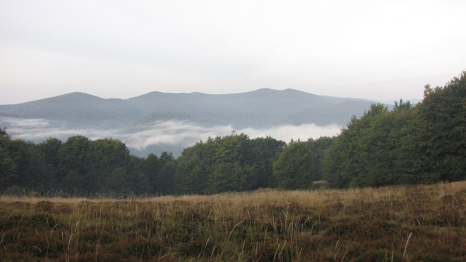
Czerteż (Slovak Čierťaž) is a 1,071 m summit on the watershed border ridge of the Western Bieszczady (in Slovak the Bukovské vrchy), on the Polish–Slovak border. The southern, Slovak part of the mountain belongs to the village of Nová Sedlica in the Snina district of the Prešov Region, the northern, Polish part to Cisna municipality in Lesko County, Subcarpathian Voivodeship. The nearest settlement is Nová Sedlica (about 5.4 km south); Wetlina lies 7.7 km to the north and Zboj 7.4 km to the south-west.
Czerteż lies on the border ridge between Borsuk (991 m) to the west and Hrúbky (1,186 m) to the east. A spur runs south from the summit and splits into two branches: a south-western one ending in Kýčera (857 m) and a south-eastern one via Príkry (952 m), Temný vršok (838 m) and Packova Kýčera (872 m), which reaches as far as Ukrainian territory.
Getting there / trails
- red — the Slovak East Carpathian Trail (KST 0918): from the west from the saddle below Ďurkovec via Jarabá skala, or from the south-east from the Kremenec tripoint via Hrúbky;
- blue — the Polish trail from Wielka Rawka to Riaba Skała (Jarabá skala), per OpenStreetMap part of the PTTK long-distance route Rzeszów – Grybów;
- green — from the village of Nová Sedlica to Čierťaž (Slovak trail KST 5790).
All these trails pass within a few metres of the summit; the Slovak long-distance path Via Slovakia follows the same ridge. The sources give no walking times, so plan them with a current hiking map.
What you can see from the top
The summit is covered by continuous forest with no view. According to Slovak Wikipedia, from occasional spots nearby you can see the surrounding Bukovské vrchy, nearby summits of the Polish Bieszczady and the Ukrainian Carpathians, and the Vihorlat. Neighbours on the Polish side include Wielka and Mała Rawka, Smerek and Hnatowe Berdo.
Nature and protection
The boundary between two national parks runs over the summit: the Polish Bieszczady National Park and the Slovak Poloniny National Park. On the Slovak side lies the Stužica national nature reserve, which merges at the summit with the Borsukov vrch nature reserve. Water from the south-western slopes flows via the Zbojský potok to the Ulička in the Uzh basin, from the south-eastern ones via the Stužická rieka also to the Uzh, and from the northern ones via the Beskidnik stream to the Wetlina in the Vistula basin. The mountain thus lies on the watershed between the Black Sea and Baltic basins.
Safety, season and rules
This is a remote forested border ridge far from settlements: carry enough water and food and start early. In winter snow lies here for a long time. In the Bieszczady National Park entry is charged and you may only walk on marked trails; in the Slovak reserves, too, stay on the paths. When walking the ridge, remember you are on the state border. Rescue: on the Polish side the Bieszczady group of GOPR (985 or +48 601 100 300), on the Slovak side HZS (18 300, +421 18 300); the general emergency number is 112.
Photos: Hanc Tomasz, CC BY-SA 3.0 — Wikimedia Commons.
Getting there from Ukraine
Border crossings
- Krakovets – Korczowa — road, 24/7
- Shehyni – Medyka — road, 24/7 Pedestrian crossing is not confirmed by the Ukrainian border service — check dpsu.gov.ua before the trip.
- Smilnytsia – Krościenko — road, 24/7
- Hrushiv – Budomierz — road, 24/7
- Mostyska – Przemyśl (rail) — rail, 24/7
By car
Lviv – Sanok ≈168 km, ≈3 h 20 min without queues: road to Shehyni → Shehyni – Medyka checkpoint → Przemyśl → DK28 via Bircza to Sanok (≈83 km, ≈1 h 45 min from the border). Alternative via Krakovets – Korczowa: A4 to the Radymno exit, DK77 to Przemyśl and DK28 (≈185 km from Lviv, ≈3 h 25 min). For the Bieszczady proper, Smilnytsia – Krościenko is handier: Lviv – Sambir – Staryi Sambir – border, then DK84 via Ustrzyki Dolne to Sanok (≈203 km, ≈5 h; ≈57 km from the border). From Krościenko to Ustrzyki Górne by DW896 ≈53 km (≈1 h 40 min; ≈200 km and ≈4 h 50 min from Lviv), to Wetlina by DW896 and DW897 ≈69 km (≈216 km and ≈5 h from Lviv). From Sanok: Ustrzyki Górne ≈82 km (DK84 via Lesko, then DW896, ≈1 h 35 min), Wetlina ≈72 km (DK84 to Lesko, DW894 via Baligród and Cisna, DW897, ≈1 h 20 min).
Checked 23.10.2026; border crossing hours and timetables change — check before you travel.
Location on the map
Water and shelter nearby
- Spring below Čierťaž (south-west slope)990 m · Not verified · 908 m
- Hut pod Čierťažou1 km · Not verified · 914 m
- Poľovnícka chata Hut, 848 m1.2 km · Not verified · 848 m
- Spring below Packova Kýčera (north-west slope)2.8 km · Not verified · 699 m
- Kamenistý potok Spring2.8 km · Not verified · 972 m
Comments
Trails nearby
All trails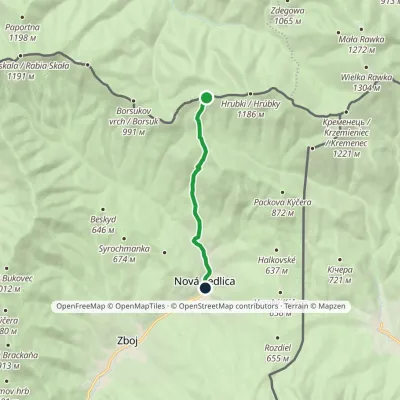 EasyOne-dayMarkedNová Sedlica ČierťažElevation profile390–1 072 m6.1 km≈ 1.5 h walkingunder 1 km from Czerteż (Bieszczady)
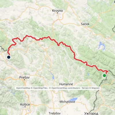 HardMulti-dayMarkedVýchodokarpatská magistrálaElevation profile390–1 209 m213.5 kmascent 7 991 munder 1 km from Czerteż (Bieszczady)
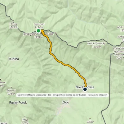 EasyOne-dayMarkedNová Sedlica WetlinaElevation profile390–1 189 m10.8 km≈ 2.5 h walking3.3 km from Czerteż (Bieszczady)
Nearby attractions
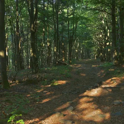 PeakBorsukWetlinaaltitude 991 m2.1 km from Czerteż (Bieszczady)Borsuk (also Borsuczy; Slovak Borsukov vrch) is a 991 m summit on the Bieszczady border ridge, crossed by the state border between Poland and Slovakia.
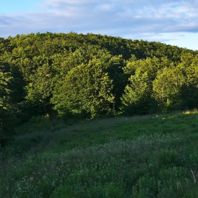 PeakKamienna (Kamenná lúka)Brzegi Górnealtitude 1 201 m · Gorgany range2.5 km from Czerteż (Bieszczady)Kamienna, in Slovak Kamenná lúka, is a 1,201 m summit on the main ridge of the border range of the Western Bieszczady, on the Polish–Slovak border.
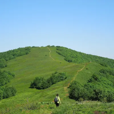 Mountain meadowĎurkovec and Pľaša meadowsRuninaaltitude 1 189 m · Gorgany range6.6 km from Czerteż (Bieszczady)The Ďurkovec meadows are the finest mountain grasslands of the Slovak Poloniny: grassy slopes covering the border ridge of the Bukovské vrchy between Pľaša (1,162.8 m)...
Craft nearby
All craft places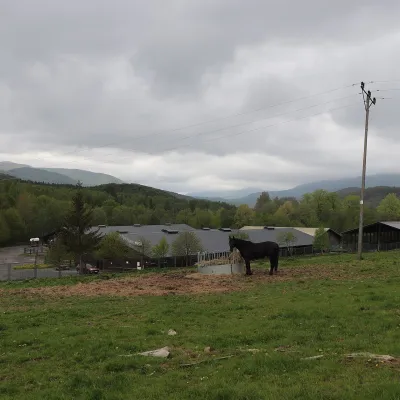 Horse ridingHucul Horse Stud in Wołosate, Bieszczady National ParkWołosate12 km from Czerteż (Bieszczady)Wołosate is the southernmost inhabited village in Poland, tucked away in the valley of the Wołosatka stream below Tarnica, the highest peak of the Polish Bieszczady.
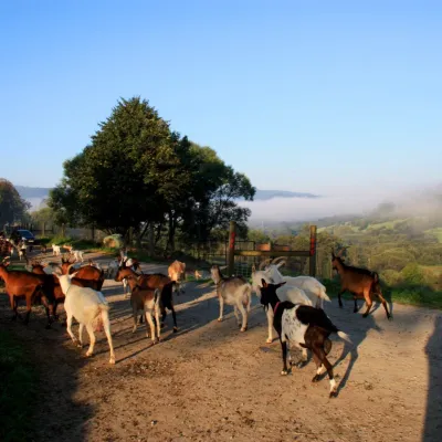 Cheese dairies & pasturesBieszczadzka Koza Goat Cheese Farm, SmolnikSmolnik19 km from Czerteż (Bieszczady)Bieszczadzka Koza ("the Bieszczady Goat") is a family goat farm and artisan cheese dairy in the village of Smolnik on the San, in the eastern Polish Bieszczady, right...
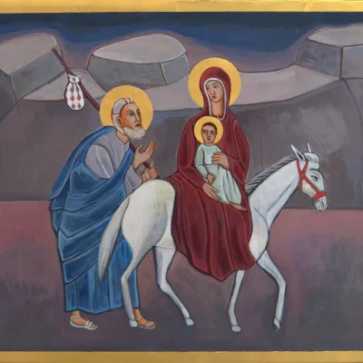 Crafts & workshopsVeraikon Icon Studio, Cisna: Carpathian icons and workshopsCisna19 km from Czerteż (Bieszczady)The Veraikon Icon Studio (Pracownia Ikon Veraikon) in Cisna is, in its owners' words, the oldest and largest icon studio in the Bieszczady.
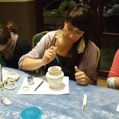 Crafts & workshopsGaleria Barak, Czarna: Bieszczady ceramics and workshopsCzarna Górna28 km from Czerteż (Bieszczady)Galeria Barak in the village of Czarna near Ustrzyki Dolne is the first private art gallery in the Bieszczady, and its story deserves telling.
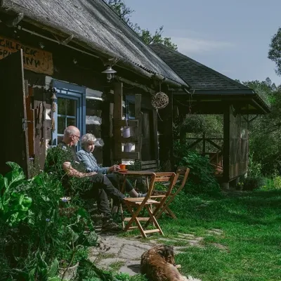 Craft producersBieszczadzkie Smaki, Smolnik: bread, liqueurs, preservesSmolnik34 km from Czerteż (Bieszczady)Bieszczadzkie Smaki (“Bieszczady Flavours”) is a family producer of natural foods in the village of Smolnik on the Osława river, Komańcza municipality, on the western...
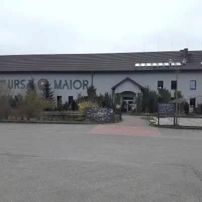 Craft beer & breweriesUrsa Maior Brewery, Uherce MineralneUherce Mineralne43 km from Czerteż (Bieszczady)Ursa Maior, or the Bieszczady Brewery (Bieszczadzka Wytwórnia Piwa), is an independent craft microbrewery in the village of Uherce Mineralne, between Lesko and...
