Azuga
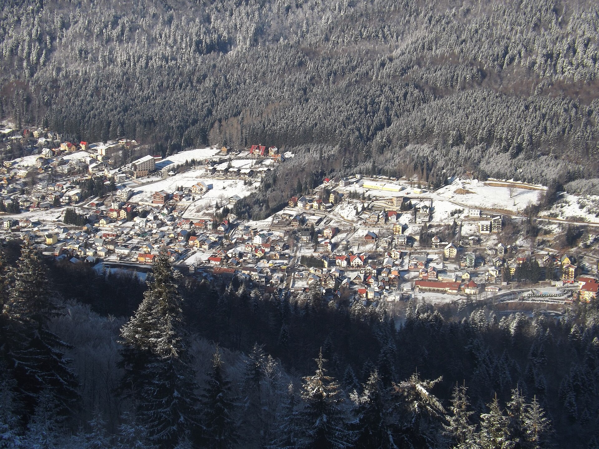
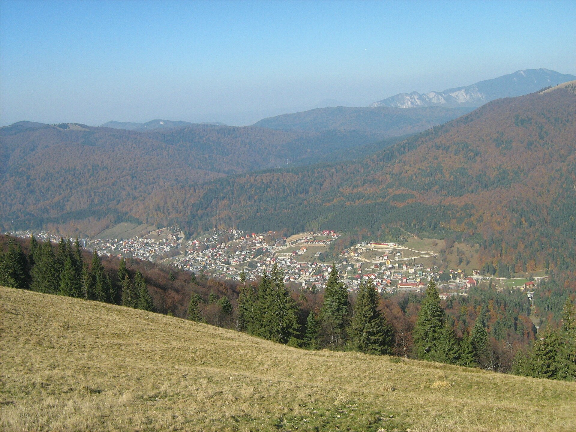
Photos: young shanahan, CC BY 2.0 (Wikimedia Commons); Cioboata Andrei, CC BY 3.0 (Wikimedia Commons)
Azuga is a small mountain town in Prahova County, in the upper Prahova Valley between Bușteni and Predeal, at about 970 m. The Bucegi rise to the west of it and the Baiu Mountains to the east.
The town stands where the Azuga river joins the Prahova; the 2021 census counted 3,901 inhabitants. The first building here was the Căciula Mare inn, also called the “inn between the Prahovas”, mentioned in a document of 1815 — the Orthodox church stands on its site today. The first inhabitant, the shepherd Gheorghe Zangor, built his house around 1800, and until 1881 the settlement was called Între Prahove.
Until recently Azuga was an industrial town; today it is a climatic and ski resort: the 2,100 m Sorica run has night lighting and snow cannons, the Cazacu run is 1,920 m long, and the gondola lift opened at the end of 2007 gives access to all the runs. The town has a First World War heroes' cemetery laid out in 1920, a monument of national importance.
Two trails on the site start at Azuga railway station: “Azuga station – Diham Hut” towards the Bucegi and “Azuga station – Baiului Saddle” into the Baiu Mountains. Longer ascents to the Bucegi plateau are described on the Bușteni page.
Getting there from Ukraine
The nearest place we have road figures for is Bușteni (≈4 km from here in a straight line): Chernivtsi – Bușteni ≈426 km, ≈7 h 32 min (via Diakivtsi – Racovăț); Rakhiv – Bușteni ≈454 km, ≈8 h 01 min (via Solotvyno – Sighetu Marmației). Times are without border queues, by our road routing. Romanian national roads require an electronic vignette (rovinieta).
Sources: Wikipedia, Wikidata, OpenStreetMap, Karpaty.rocks data.
What's nearby
Trails nearby
All trails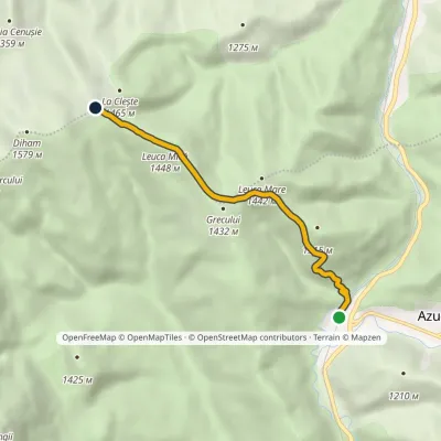 EasyOne-dayMarkedAzuga station Baiului SaddleElevation profile935–1 448 m5.3 kmascent 536 m≈ 2.5 h walking1.2 km from the centre
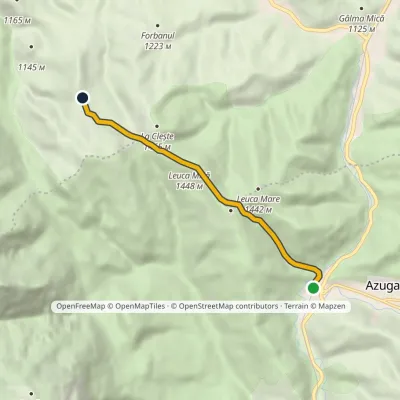 EasyOne-dayMarkedAzuga station Diham HutElevation profile935–1 448 m6.2 kmascent 531 m≈ 2.5 h walking1.2 km from the centre
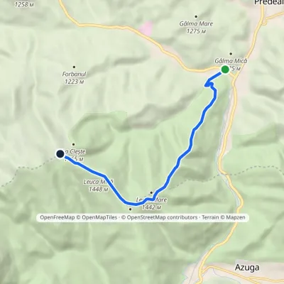 EasyOne-dayMarkedPredeal Baiului Saddlevia Clăbucetul Baiului RidgeElevation profile998–1 448 m7 kmascent 483 m≈ 2.5 h walking2.9 km from the centre
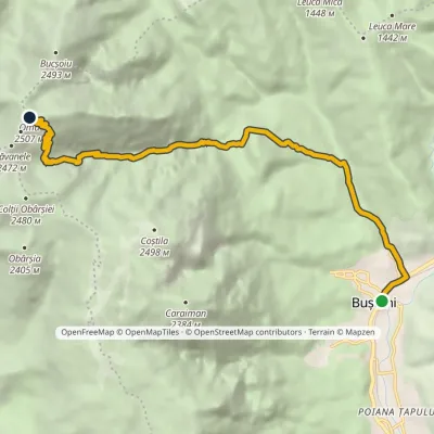 HardTwo-dayMarkedBușteni Omu HutElevation profile885–2 502 m11.8 kmascent 1 649 m≈ 6 h walking3.1 km from the centre
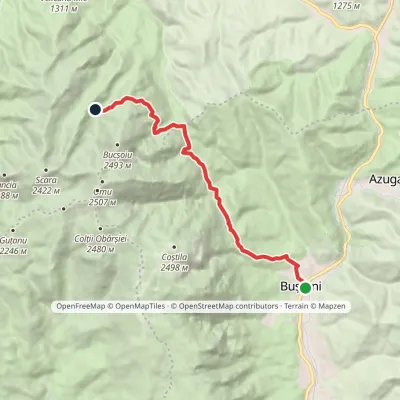 ModerateOne-dayMarkedBușteni Mălăiești HutElevation profile887–1 787 m12.1 kmascent 1 031 m≈ 5 h walking3.7 km from the centre
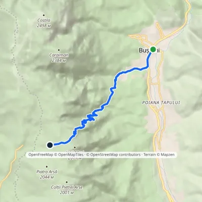 ModerateOne-dayMarkedBușteni Piatra Arsă HutElevation profile877–2 003 m8.4 kmascent 1 116 m≈ 4.5 h walking4 km from the centre
Peaks nearby
All peaks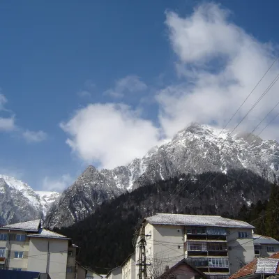 PeakCaraiman PeakBuștenialtitude 2 384 m6.8 km from the centreCaraiman Peak (Romanian Vârful Caraiman) is a 2,384 m summit in the Bucegi Mountains of the Southern Carpathians in Romania.
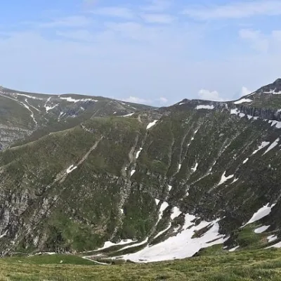 PeakCoștila PeakBuștenialtitude 2 490 m6.9 km from the centreCoștila Peak (Romanian Vârful Coștila) is a 2,490 m summit in the Bucegi Mountains of the Southern Carpathians in Romania.
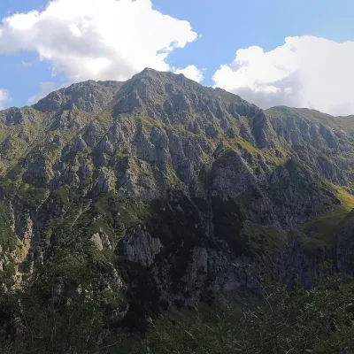 PeakBucșoiuPârâul Recealtitude 2 492 m8.4 km from the centreBucșoiu (Romanian Vârful Bucșoiu) is a 2,492 m summit in the northern part of the Bucegi Mountains. According to Romanian Wikipedia it is the third-highest peak of the...
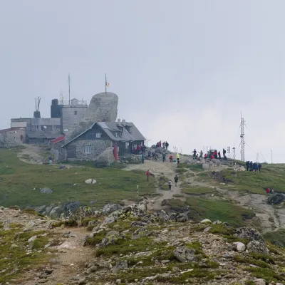 PeakOmu PeakBuștenialtitude 2 514 m8.8 km from the centre5 trails to the topOmu Peak (Romanian Vârful Omu, also Omul) is the highest summit of the Bucegi Mountains in the Southern Carpathians of Romania.
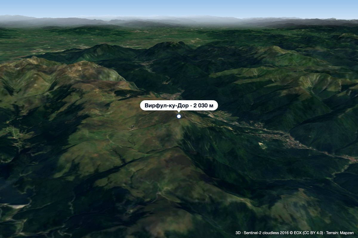 PeakVârful cu DorSinaiaaltitude 2 030 m12 km from the centre1 trail to the topVârful cu Dor (literally “the Peak with Longing”) is a 2,030 m summit on the southern edge of the Bucegi plateau, above the resort of Sinaia in Prahova County.
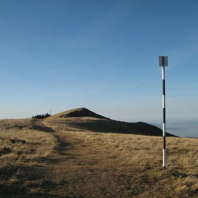 PeakPiatra MareTimișu de Josaltitude 1 843 m13 km from the centrePiatra Mare (Romanian Vârful Piatra Mare, “the Great Stone”, German Hohenstein, Hungarian Nagykőhavas) is the highest summit of the small massif of the same name south...
What to visit
All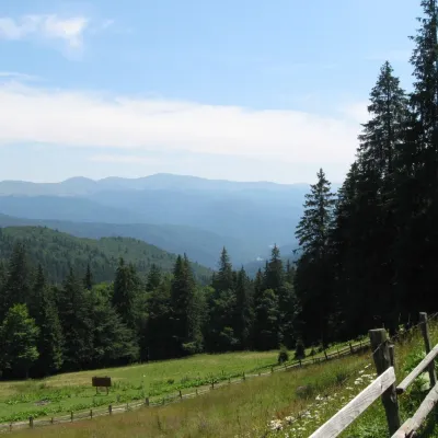 Mountain meadowPoiana IzvoarelorBuștenialtitude 1 448 m6 km from the centrePoiana Izvoarelor ("the meadow of the springs") is a mountain meadow at about 1,455 m on the south-eastern slope of Mount Diham, in the northern part of the Bucegi...
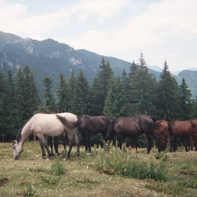 Mountain meadowPoiana DihamPârâul Recealtitude 1 350 m6.5 km from the centrePoiana Diham (Romanian: Poiana Dihamului) is a wide mountain meadow in the Diham Mountains, on the northern edge of the Bucegi massif.
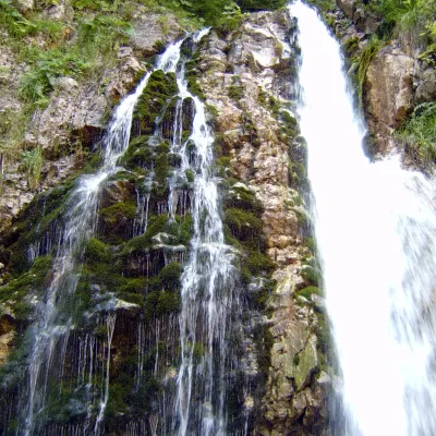 WaterfallUrlătoarea Waterfall (Cascada Urlătoarea)Bușteni6.8 km from the centreUrlătoarea Waterfall (Cascada Urlătoarea) is one of the best known in Romania. It lies on the eastern slope of the Bucegi Mountains, in the Bucegi Natural Park, very...
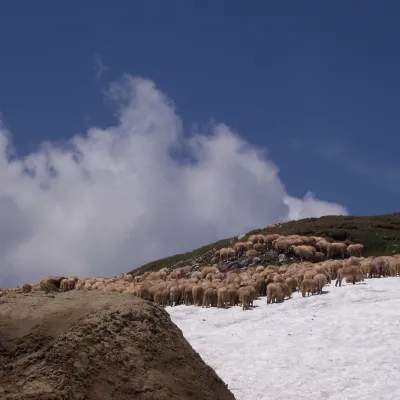 Mountain meadowBucegi PlateauBuștenialtitude 2 193 m8.7 km from the centreThe Bucegi Plateau (Romanian: Platoul Bucegi) is a high grassy tableland in the Bucegi Mountains of Romania's Southern Carpathians.
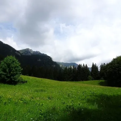 Mountain meadowPoiana StâniiSinaiaaltitude 1 273 m9.1 km from the centrePoiana Stânii (in full Poiana Stânii Regale, "the meadow of the royal sheepfold") is a broad mountain meadow at about 1,270 m on the Prahova side of the Bucegi...
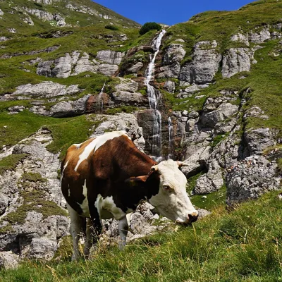 WaterfallObârșia Ialomiței Waterfall (Cascada Obârșia Ialomiței)Bușteni10 km from the centreObârșia Ialomiței Waterfall (Cascada Obârșia Ialomiței; on maps also Cascada Obârșiei) lies in the Bucegi Mountains, at the head of the Obârșia valley, at about 2,000 m.
Huts, shelters and springs nearby
Getting there from Ukraine
Border crossings
- Porubne – Siret — road and pedestrian, 24/7
- Diakivtsi – Racovăț — road and pedestrian, 24/7 No freight traffic.
- Krasnoilsk – Vicovu de Sus — road and pedestrian, 08:00–20:00 Cars up to 3.5 t and pedestrians only; not 24/7.
- Solotvyno – Sighetu Marmației — road and pedestrian, 24/7 Passenger traffic only: vehicles up to 3.5 t with up to 9 seats, pedestrians.
- Diakove – Halmeu — road, 24/7 No pedestrian crossing.
By car
Chernivtsi – Bușteni ≈426 km, ≈7 h 32 min (via Diakivtsi – Racovăț); Rakhiv – Bușteni ≈454 km, ≈8 h 01 min (via Solotvyno – Sighetu Marmației); Uzhhorod – Bușteni ≈557 km, ≈9 h 15 min (via Diakove – Halmeu). Times without border queues, our road routing (GraphHopper, OSM).
Checked 03.11.2026; border crossing hours and timetables change — check before you travel.
