Zadni Mnich
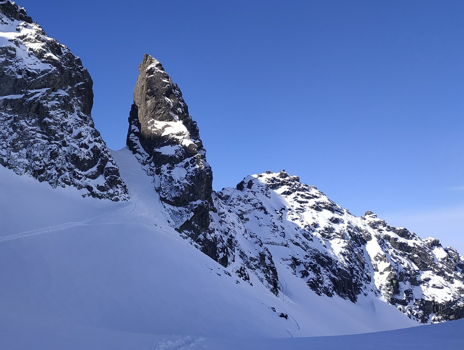
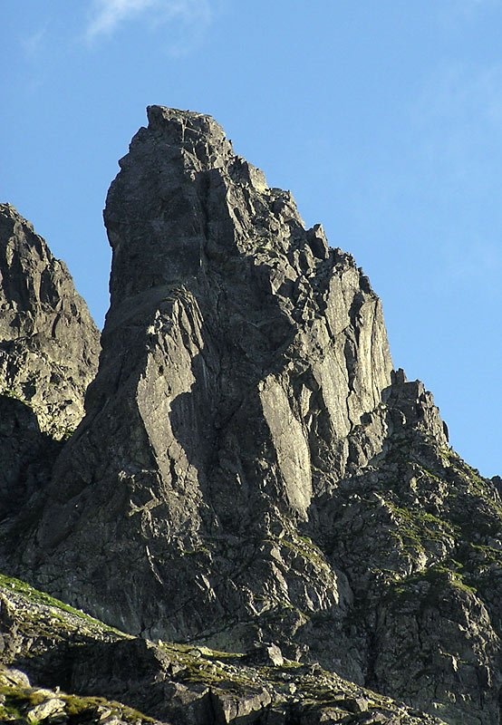
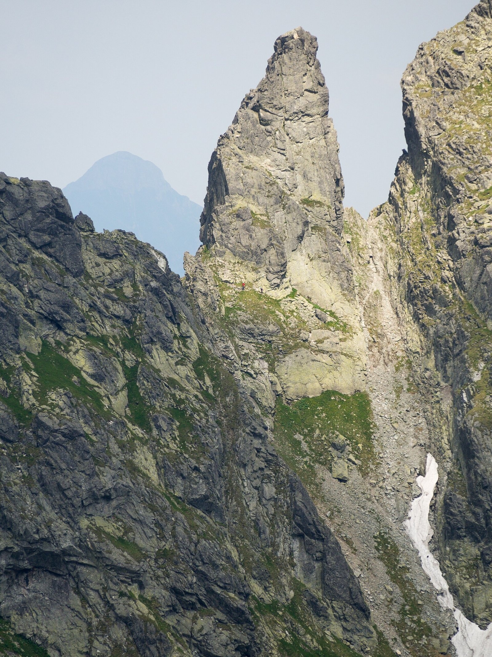
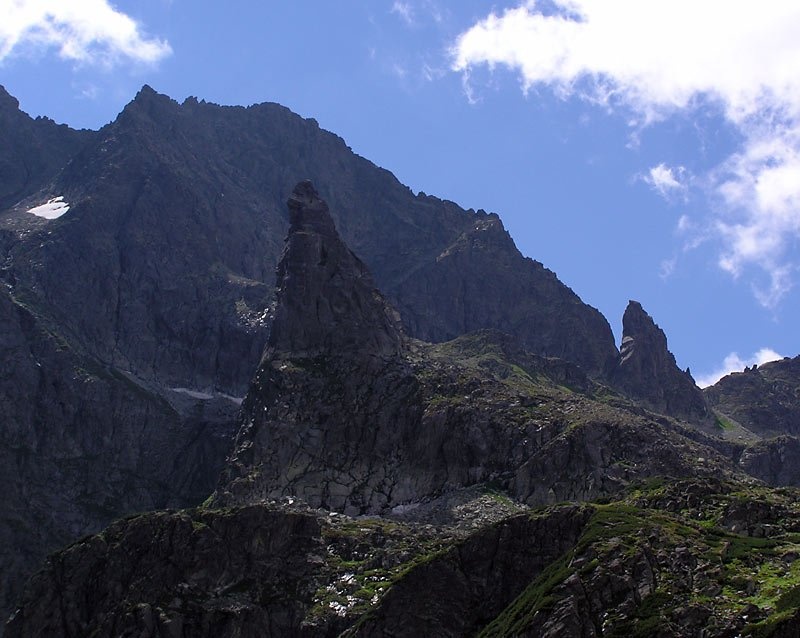
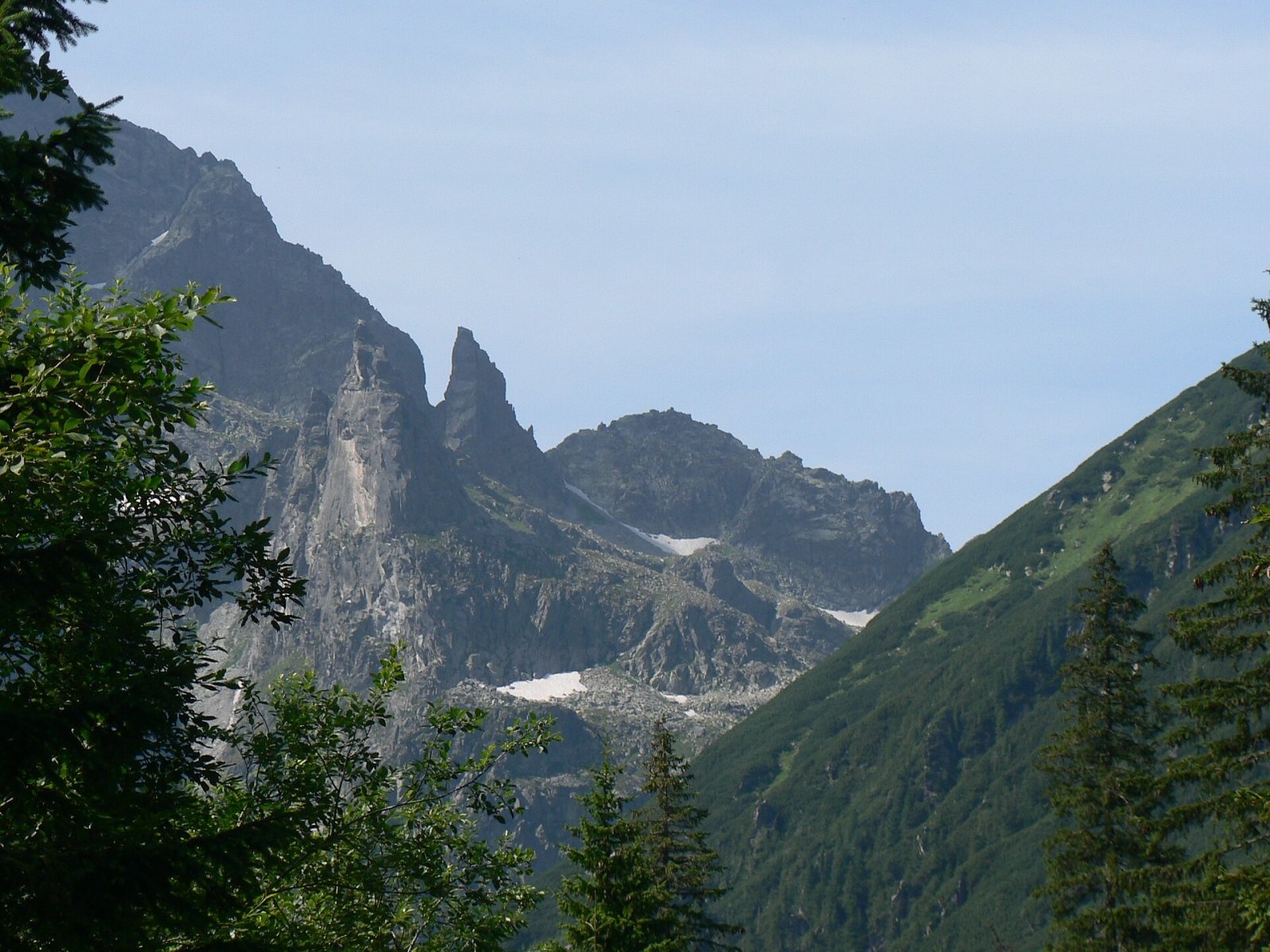
Zadni Mnich (Slovak Druhý Mních, German Mönch II) is a 2,172 m rock summit on the main ridge of the High Tatras, on the Polish–Slovak border. Shaped like a rock needle, it is one of the most distinctive peaks of the Polish Tatras; Władysław Cywiński regarded it rather as a rock tower. Zadni Mnich rises between Cubryna (2,376 m) and Ciemnosmreczyńska Turnia (2,142 m): the notch Przełączka pod Zadnim Mnichem (2,135 m) separates it from Cubryna, and Ciemnosmreczyńska Przełączka (about 2,115 m) from the neighbouring tower. To the south it rises above the Piarżysta valley, to the north above the Dolina za Mnichem; Morskie Oko lake is about 1.7 km away.
Of the three Tatra "Monks" (the others being Mnich and Żabi Mnich), only Zadni Mnich cannot be seen from the shore of Morskie Oko, as Mnich hides it. It is, however, well visible from the road to Morskie Oko, for example from the former car park on the Włosienica glade.
Getting there / trails
No hiking trail crosses Zadni Mnich — it is a climbers' summit. It lies in an area of the Tatra National Park open to climbing. The easiest ascent is from Ciemnosmreczyńska Przełączka: grade I or II UIAA depending on the variant, about 15 minutes. The other routes are much harder: the right pillar (III), the Głazek chimney (V), the Motyka, Orłowski, Janowski and Nyka routes (V–VI) and modern routes of grade VII–VIII. The north face above Zadni Mnichowy Upłaz is about 100 m high, the south face above the Piarżysta hollow about 80 m. Towards Przełączka pod Zadnim Mnichem the ridge drops in a 30 m step: on descent it requires an abseil, and on ascent it is one of the hardest (VI) points of the Tatra main ridge.
Slovak and Czech Wikipedia note that, despite its elegant lines, the summit is less popular today because it cannot be seen from hiking trails and the approach from Slovakia through the Temné Smrečiny valley is long. Cywiński describes it as a beautiful, solid and sheer tower, adding that because the routes are short, climbers usually do several of them in a day.
What you can see from the top
The sources do not describe the panorama from the summit. From its position on the main ridge it overlooks the Dolina za Mnichem on the Polish side and the head of the Temné Smrečiny valley on the Slovak side, next to the Cubryna massif.
Nature and history
In the 19th century the summit was called the Sugar Rock or Sugarloaf, and shepherds jokingly called it the Organist, Monk's Old Woman or the Nun. In the early 20th century the name Mnich II, or Second Monk, became common. The present name was introduced by Gyula Komarnicki in 1909 (the summit reminded him of a hooded figure), and the Polish form by Mieczysław Świerz in 1919. Rare plants found in Poland only in the Tatras grow at its foot: Artemisia eriantha and Tatra scurvygrass.
The first summer ascent was made by Janusz Chmielowski and Klemens Bachleda on 13 September 1904 by the west ridge, the first winter ascent by Henryk Bednarski, Józef Lesiecki, Leon Loria and Stanisław Zdyb on 13 March 1910. In 1934 R. Donath, K. Kurt, Stanisław Motyka and Štefan Zamkovský climbed the 30 m step itself. In 1922 Wiktor Biegański filmed a scene of the Tatra film "Otchłań pokuty" on Zadni Mnich.
Safety, season and rules
Zadni Mnich is only for experienced climbers with equipment or with a licensed guide. Hikers without climbing skills cannot go here: there are no marked paths. The summit lies in the Tatra National Park on the Polish side and in TANAP on the Slovak side; in both parks climbing off trails is permitted only under park rules, on the Slovak side to members of climbing organisations or with a guide. In winter and spring avalanche danger in the valleys below is high. Rescue: on the Polish side TOPR (985 or +48 601 100 300), on the Slovak side HZS (18 300, +421 18 300); the general emergency number is 112.
Interesting facts
- Zadni Mnich is the only one of the three Tatra "Monks" that cannot be seen from the shore of Morskie Oko.
- The step between the summit and Cubryna is one of the hardest places on the whole Tatra main ridge.
- In the 19th century the summit was known as the Sugarloaf.
Photos: Adam Opioła, CC BY-SA 4.0; The original uploader was Makarczuk at Polish Wikipedia., CC BY-SA 2.5; Rafał Kozubek, CC BY-SA 4.0; The original uploader was Makarczuk at Polish Wikipedia., CC BY-SA 2.5; Krzysztof Dudzik-Górnicki (User:ToSter), CC BY-SA 3.0 — Wikimedia Commons.
Getting there from Ukraine
Border crossings
- Krakovets – Korczowa — road, 24/7
- Shehyni – Medyka — road, 24/7 Pedestrian crossing is not confirmed by the Ukrainian border service — check dpsu.gov.ua before the trip.
- Smilnytsia – Krościenko — road, 24/7
- Hrushiv – Budomierz — road, 24/7
- Mostyska – Przemyśl (rail) — rail, 24/7
By car
Lviv – Zakopane ≈421 km, ≈5 h 10 min without border queues. Route: M-10 Lviv – Krakovets → Krakovets – Korczowa checkpoint → A4 motorway (Rzeszów – Tarnów – Kraków) → Kraków southern bypass → S7/DK7 → DK47 ('Zakopianka') via Nowy Targ → Zakopane. The A4 Katowice – Kraków section (Balice and Mysłowice toll plazas) is tolled, but this route does not use it. In summer and at weekends the DK47 near Zakopane is often congested.
Checked 23.10.2026; border crossing hours and timetables change — check before you travel.
Location on the map
Water and shelter nearby
- Spring below Kazalnica Mięguszowiecka1.2 km · Not verified · 1 884 m
- Spring below Mengusovský Volovec1.6 km · Not verified · 1 977 m
- Spring below Mała Kotelnica / Malá Kotolnica (south slope), 1 627 m1.9 km · Not verified · 1 627 m
- Spring below Apostoły1.9 km · Not verified · 1 411 m
- Morskie Oko Hut2 km · Standing · 1 410 m
- Spring below Mała Kotelnica / Malá Kotolnica (south slope), 1 598 m2 km · Not verified · 1 598 m
- Spring below Posledný chrbát (north-west slope)2.4 km · Not verified · 1 502 m
- Spring below Posledný chrbát (south-west slope)2.4 km · Not verified · 1 525 m
- Five Polish Ponds Hut2.7 km · Standing · 1 671 m
- Wrzące Spring2.9 km · Not verified · 1 371 m
- Spring below Tichý vrch (south-east slope)2.9 km · Not verified · 1 684 m
- Spring below Gładka Kotelnica / Hladká Kotolnica (south-west slope)2.9 km · Not verified · 1 744 m
Comments
Trails nearby
All trails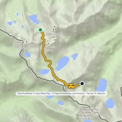 HardOne-dayMarkedZmarzły Staw Pod Mnichemvia Kozia Przełęcz, Szpiglasowa PrzełęczElevation profile1 711–2 113 m6.5 kmascent 682 m≈ 3 h walkingunder 1 km from Zadni Mnich
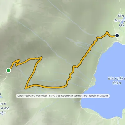 ModerateOne-dayMarkedPod Mnichem Junction to Szpiglasowa PassElevation profile1 409–1 794 m2.3 kmascent 8 m≈ 30 min walkingunder 1 km from Zadni Mnich
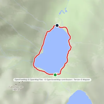 EasyOne-dayMarkedAround Morskie OkoElevation profile1 395–1 423 m2.5 kmascent 23 m≈ 45 min walking1.2 km from Zadni Mnich
Nearby attractions
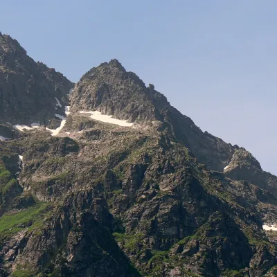 PeakCubrynaBukowina Tatrzańskaaltitude 2 376 munder 1 km from Zadni MnichCubryna (Slovak Čubrina, German Fichtentalspitze) is a 2,376 m summit on the main ridge of the High Tatras, on the border between Poland and Slovakia.
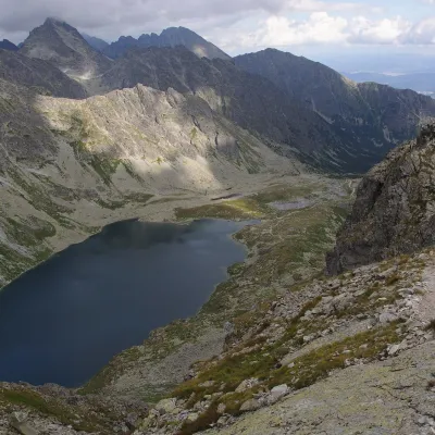 LakeVeľké Hincovo plesoVyšné Hágy1.3 km from Zadni MnichVeľké Hincovo pleso is the largest and deepest glacial lake in the Slovak part of the Tatras and in all of Slovakia.
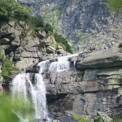 WaterfallCzarnostawiańska Siklawa (Black Lake Falls)1.7 km from Zadni MnichCzarnostawiańska Siklawa (Black Lake Falls) is a cascading waterfall in the Polish High Tatras, in the Rybi Potok Valley (Dolina Rybiego Potoku) inside Tatra National...
Craft nearby
All craft places Cheese dairies & pasturesShepherd's Hut on Rusinowa PolanaBrzegi8.7 km from Zadni MnichRusinowa Polana is one of the most beautiful mountain glades in the Polish Tatras, and from May to October it is home to the bacówka (shepherd's hut) of baca Stanisław...
 Cheese dairies & pasturesFurtek's Shepherd's Huts, Kuźnice and KalatówkiZakopane11 km from Zadni MnichAbove Kuźnice — the southern edge of Zakopane where most hikes into the Western and High Tatras begin — the flocks are tended by baca Andrzej Staszel, nicknamed "Furtek".
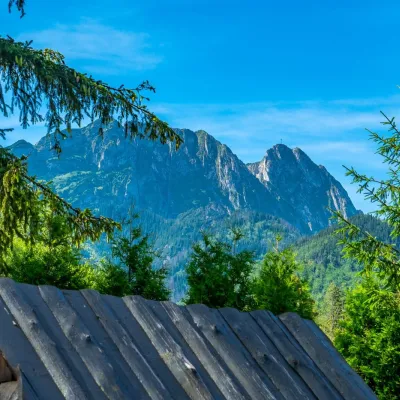 Koliby & Hutsul cuisineBąkowo Zohylina Wyźnio Highland TavernZakopane12 km from Zadni MnichBąkowo Zohylina Wyźnio is a regional highland tavern in Zakopane housed in a wooden "szałas" (shepherd-hut-style building) with a view of the Tatras.
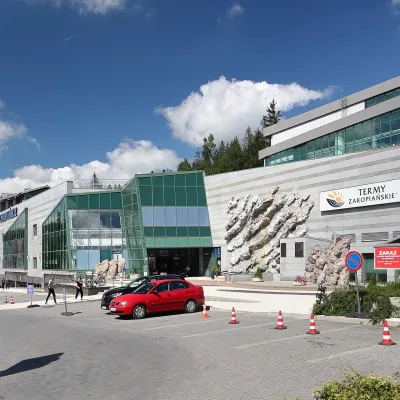 Water parks & thermal poolsTermy Zakopiańskie (Aqua Park Zakopane)Zakopane13 km from Zadni MnichTermy Zakopiańskie is a thermal water park right in Zakopane, on Jagiellońska Street, only a kilometre from Krupówki.
 Crafts & workshopsSztukomania Studio, Zakopane: handmade ceramics and pottery workshopsZakopane13 km from Zadni MnichSztukomania is a small ceramics and woodwork studio on Staszica street in Zakopane, a few minutes' walk from Krupówki.
 Water parks & thermal poolsClimatic spas of the High Tatras: Nový Smokovec, Polianka, KotlinaVysoké Tatry13 km from Zadni MnichNový Smokovec is the best known of the climatic spas of the High Tatras. It grew up in a spruce forest at about 1010 m, south-west of Starý Smokovec, with which it...
