Wisłoka River
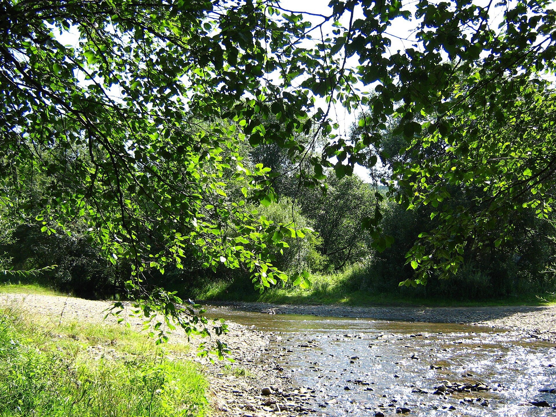
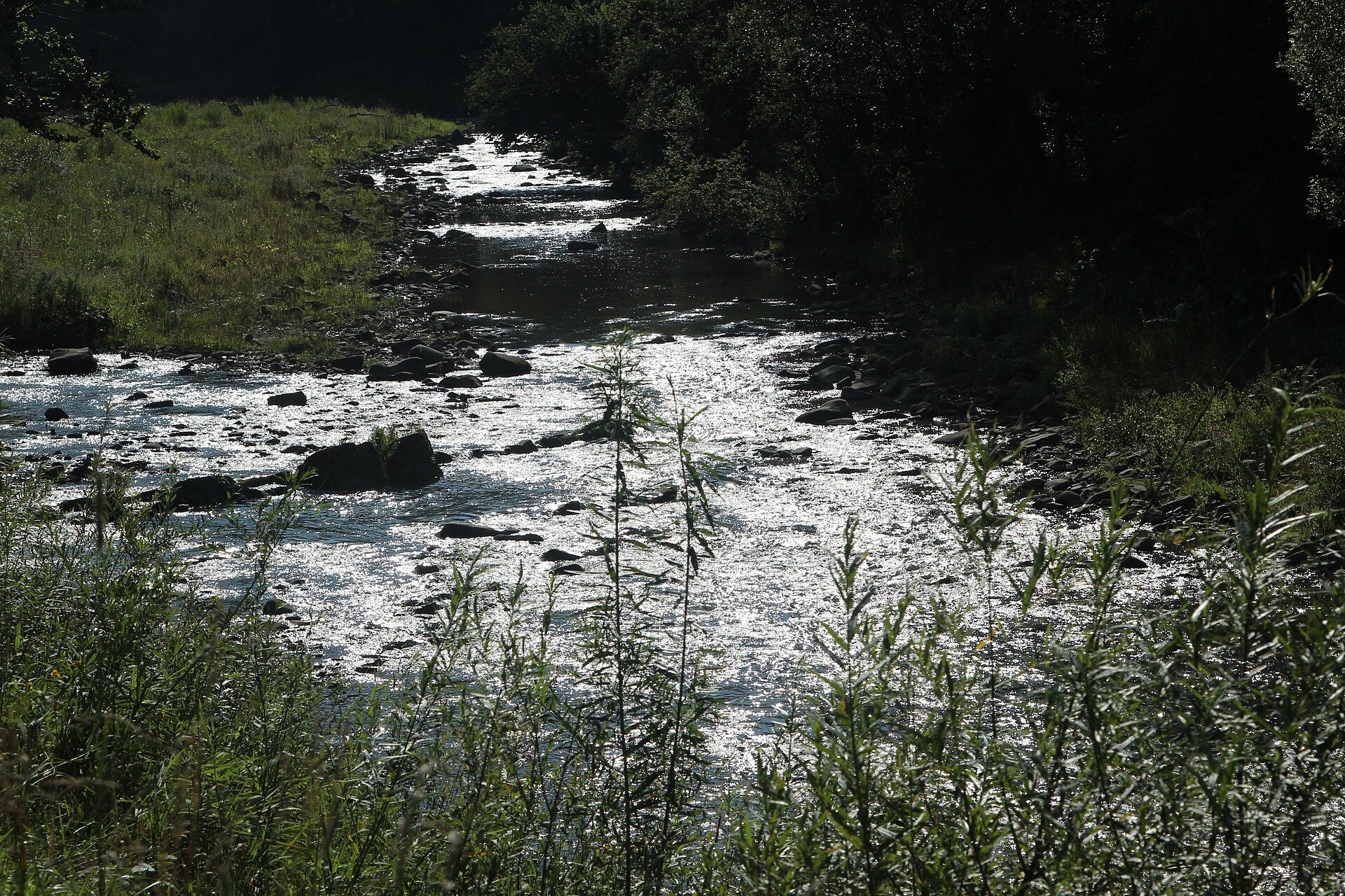
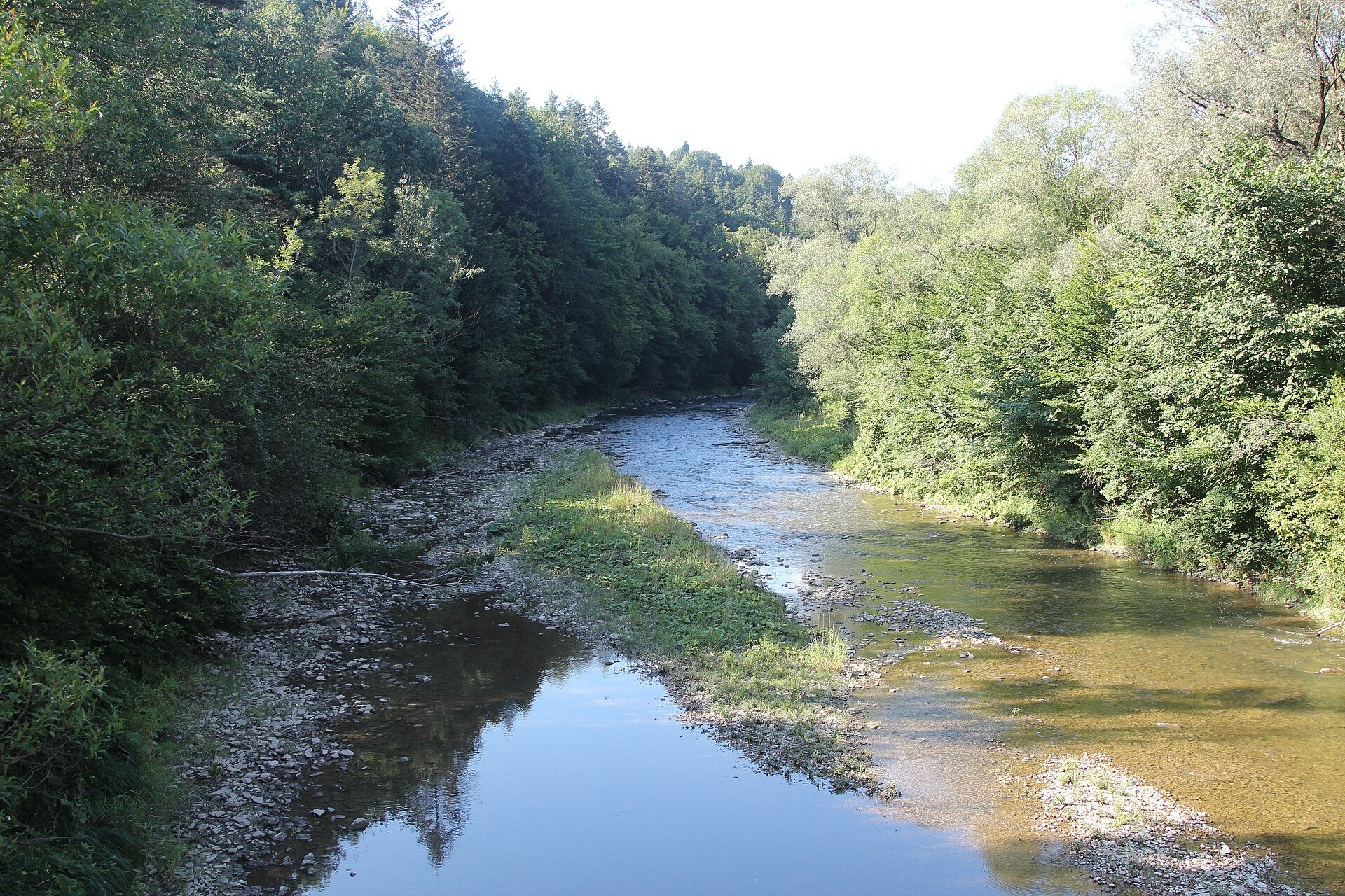
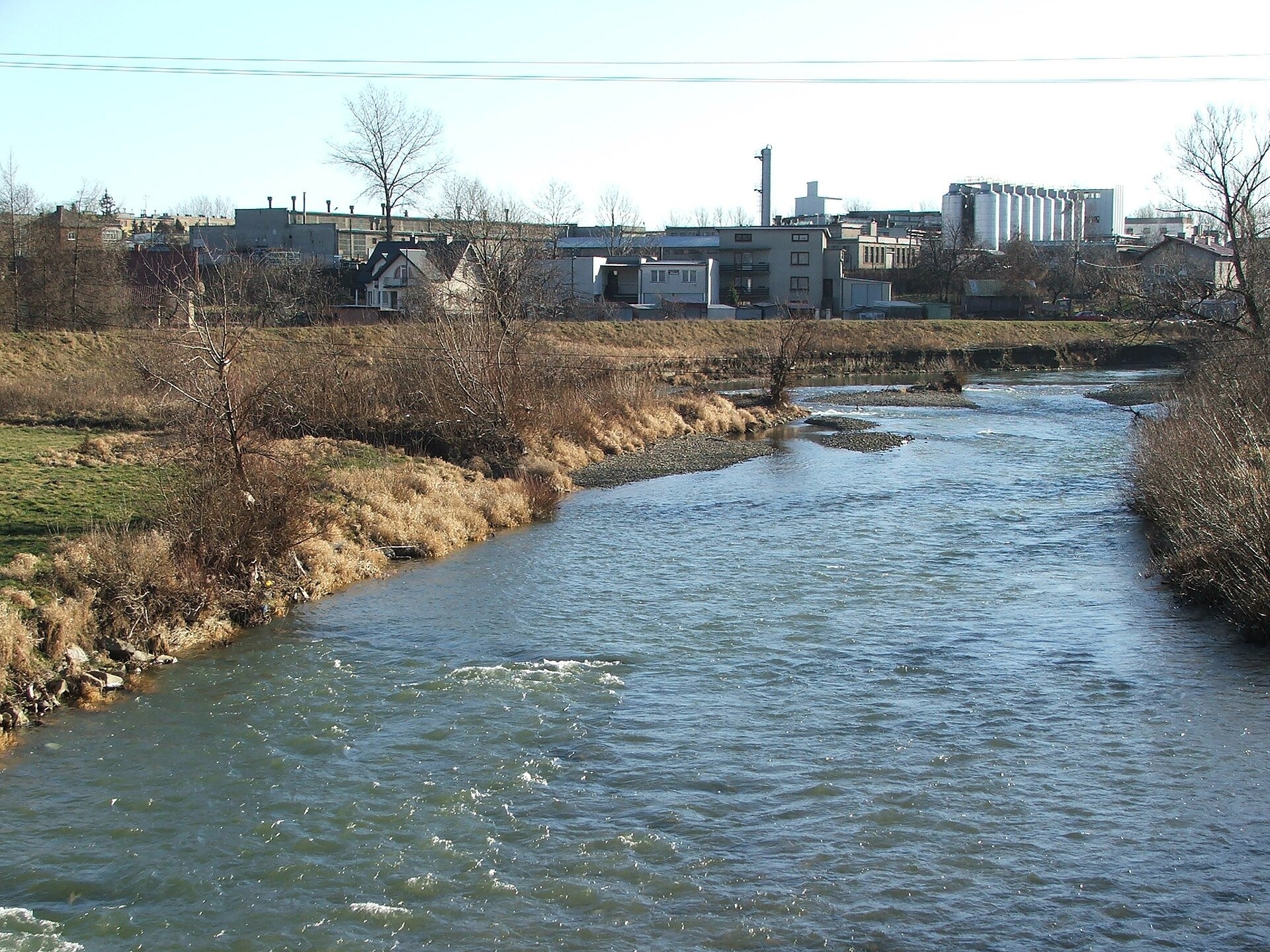
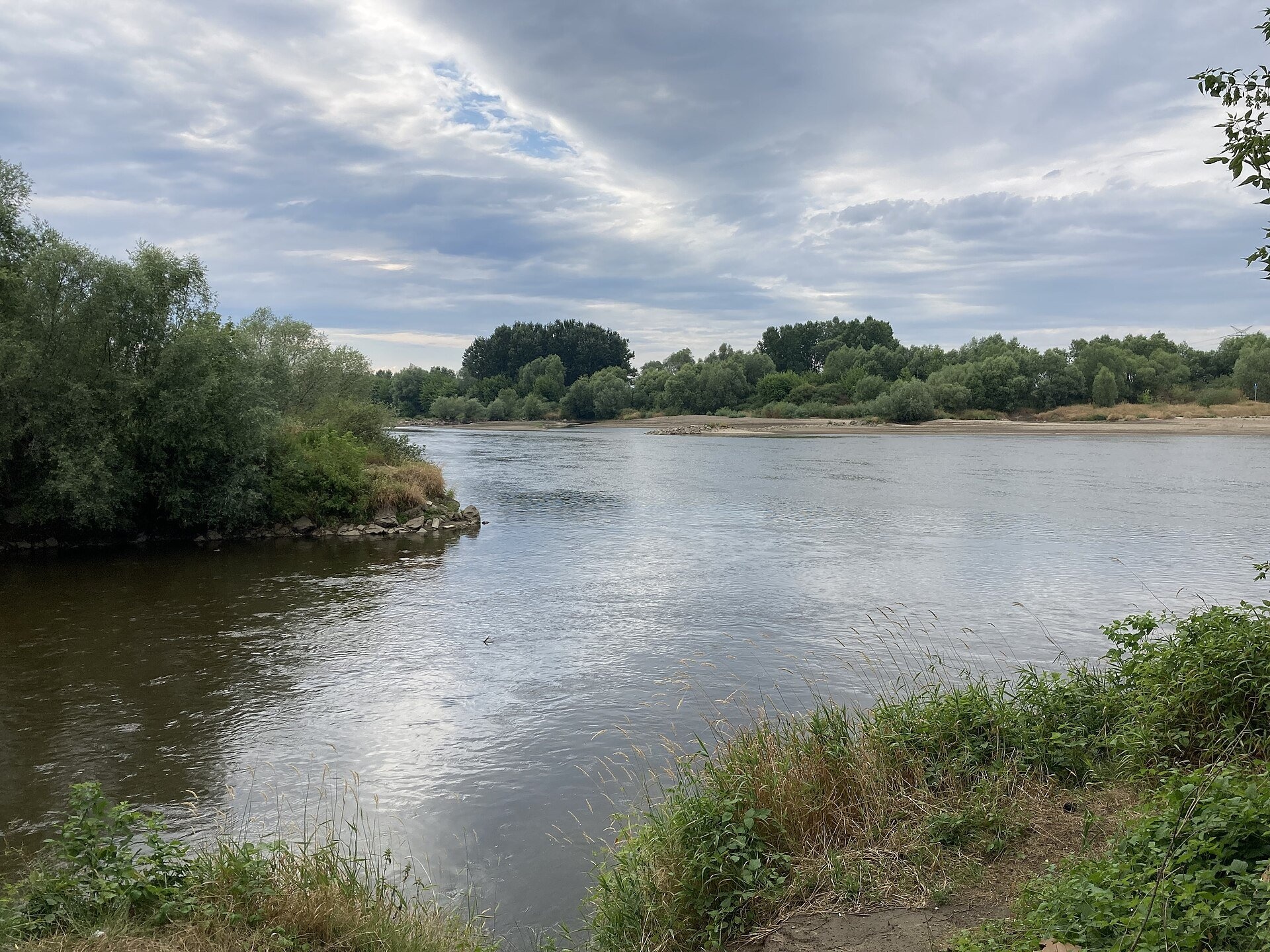
The Wisłoka (in Ukrainian tradition also Vysloka) is a right-bank tributary of the upper Vistula in south-eastern Poland. It is 164 km long and its basin covers 4,110 km². The river flows almost entirely through the Subcarpathian Voivodeship, but it begins in the Lesser Poland Voivodeship — in the Lemko land of the Beskid Niski. From here it flows north through the mountains and foothills, passes Jasło, Dębica and Mielec and joins the Vistula near Ostrówek at 153.5 m. The nearby Dukla Pass separates the Wisłoka basin from that of the Tisza — the Baltic from the Black Sea.
The course: from source to mouth
The Wisłoka emerges at about 600 m on the southern slope of Dębi Wierch in the Beskid Niski, near the former Lemko village of Radocyna. In the mid-19th century Wincenty Pol wrote that from its source to the confluence with the Jasiołka and Ropa the river was called the Dębówka. It flows past Czarne and in Magura National Park passes Krempna and Kotań. Further on the Wisłoka crosses the Jasło Foothills and the Jasło–Krosno Basin, passes Nowy Żmigród and in Jasło receives the Jasiołka and Ropa. Below, it forms the boundary between the Strzyżów and Ciężkowice Foothills, flows through Kołaczyce, Brzostek, Pilzno, Dębica, Przecław and Mielec along the Lower Wisłoka valley and joins the Vistula on the Vistula lowland.
The river's regime is complex: strongly snow-fed in the upper part, snow-and-rain-fed in the lower. The gradient is steep, over 3–5‰, the water level is very variable and downpours raise the water quickly — so the Wisłoka has a high flood potential.
What to see along the river
- Magura National Park Education and Museum Centre, Krempna — on the Wisłoka bank in the heart of the park.
- Wodospad Magurski (Magura Waterfall) — the best-known waterfall of Magura National Park, in the hills above the valley.
- Jasło — the town at the confluence of the Wisłoka with the Jasiołka and Ropa.
- The medieval Wietrzno hillforts at Brzezowa, Przeczyca and Trzcinica — above the Wisłoka valley.
The river and people
The Wisłoka valley was settled as early as the Middle Ages: multi-rampart hillforts called Wietrzno stood here, probably guarding the land of a tribe from around Przemyśl. The first document mentioning villages in the valley was issued by the papal legate Giles of Tusculum in 1123–1125, confirming the possessions of Tyniec Abbey: it names Pilzno, Brzostek and Klecie. A trade route from Poland to Hungary ran along the Wisłoka, so Kołaczyce, Pilzno and Brzostek received town rights in the 14th century. The river itself was little used for trade: according to Pol, some timber was floated down it, and small flat boats called «krypa» carried grain and pottery abroad. Navigation was hampered by the «wild» bed, over which the water spread in broad shallow channels, and by gravel brought down from the mountains. The surrounding land was colonised by settlers of German origin, known as the «Głuchoniemcy».
Nature and safety
The upper Wisłoka flows through Magura National Park, created to protect the nature and landscape of the Beskid Niski. With its tributaries the river forms three Natura 2000 habitat sites: «Źródliska Wisłoki» (181.84 ha), «Wisłoka z dopływami» (2,651.03 ha — from the northern boundary of the Ostoja Magurska to the bridge on national road 73 at Jaworze Górne) and «Dolna Wisłoka z dopływami» (453.69 ha); the valley also lies in the «Beskid Niski» bird area. Weirs and channel regulation led to the extinction of migratory species in the upper Wisłoka basin — sturgeon, salmon, sea trout and vimba. After downpours the river rises very fast, as during the great flood of May 2010 in Jasło, so keep off gravel bars in bad weather. Mountain rescue is GOPR: 985 or +48 601 100 300; the general emergency number is 112.
Nearby: peaks, trails, huts
The upper Wisłoka valley is crossed by the Main Trail of Beskidy and the Východokarpatská magistrála; from Folusz to the springs near Radocyna leads Folusz – Bartne – Radocyna – Konieczna, and from Bartne to Krempna Bartne – Krempna.
Photos: Panek, CC BY 3.0, Wikimedia Commons; Fallaner, CC BY-SA 4.0, Wikimedia Commons; kinio, CC BY 2.0, Wikimedia Commons; IchibanPL, CC BY-SA 4.0, Wikimedia Commons.
Getting there from Ukraine
Border crossings
- Krakovets – Korczowa — road, 24/7
- Shehyni – Medyka — road, 24/7 Pedestrian crossing is not confirmed by the Ukrainian border service — check dpsu.gov.ua before the trip.
- Smilnytsia – Krościenko — road, 24/7
- Hrushiv – Budomierz — road, 24/7
- Mostyska – Przemyśl (rail) — rail, 24/7
By car
Lviv – Krynica-Zdrój ≈338 km, ≈5 h without queues: M-10 to Krakovets → Krakovets – Korczowa checkpoint → toll-free A4 via Rzeszów to Tarnów (≈163 km) → DW977 towards Gorlice → DW981 to Krynica (≈260 km, ≈3 h 35 min from the border). Via Smilnytsia – Krościenko the distance is about the same (≈335 km) but the mountain roads are slow (≈7 h 40 min): DK84 – Sanok – DK28 via Krosno and Gorlice.
Checked 23.10.2026; border crossing hours and timetables change — check before you travel.
Location on the map
Comments
Trails nearby
All trails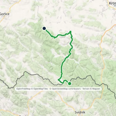 HardMulti-dayMarkedFilipovske Sedlo FoluszElevation profile280–710 m46.2 kmascent 1 320 munder 1 km from Wisłoka River
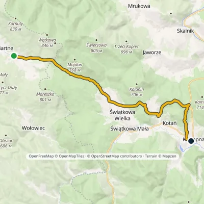 ModerateOne-dayMarkedBartne KrempnaElevation profile370–628 m17.8 kmascent 375 m≈ 5 h walkingunder 1 km from Wisłoka River
 HardMulti-dayMarkedMain Trail of BeskidyElevation profile309–1 723 m499.9 kmascent 19 519 m2.7 km from Wisłoka River
Nearby attractions
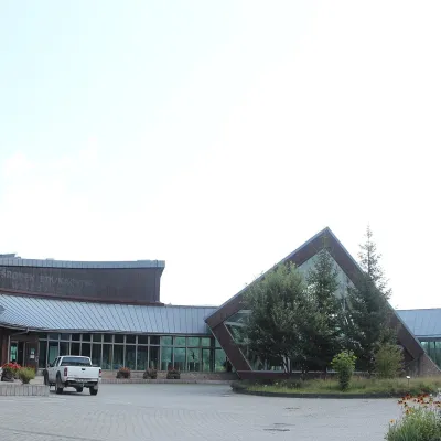 MuseumMagura National Park Education and Museum Centre, KrempnaKrempnaunder 1 km from Wisłoka RiverThe Jan Szafrański Education and Museum Centre (Ośrodek Edukacyjno-Muzealny MPN im. Jana Szafrańskiego) in Krempna is the main museum and tourist "gateway" of Magura...
 WaterfallWodospad Magurski (Magura Waterfall)Folusz13 km from Wisłoka RiverWodospad Magurski (Magura Waterfall) is a rock step about 7 m high in the forest above the village of Folusz, on the edge of Magura National Park in the Low Beskids ...
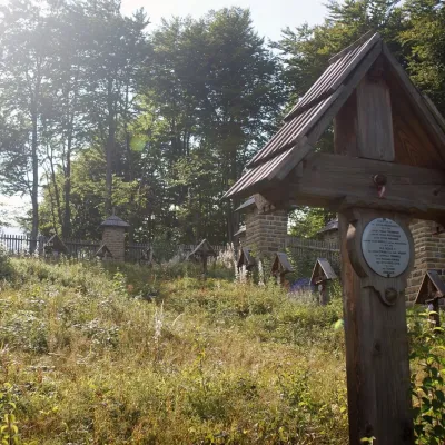 PeakBeskidekKoniecznaaltitude 685 m16 km from Wisłoka RiverBeskidek (Slovak Beskydek) is a 685 m wooded summit in the Low Beskid on the Polish–Slovak border, above the village of Konieczna.
Craft nearby
All craft places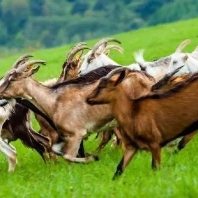 Cheese dairies & pasturesFIGA Organic Goat Cheese Farm, Mszana near DuklaMszana13 km from Wisłoka RiverThe FIGA organic family farm in the Lemko village of Mszana near Dukla is one of Poland's oldest goat cheese dairies.
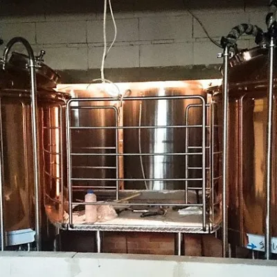 Craft beer & breweriesBrowar Dukla: craft brewery and brewpub on Dukla market squareDukla15 km from Wisłoka RiverDukla is an old small town at the foot of Mount Cergowa, on the historic trade route from Poland to Hungary over the Dukla Pass.
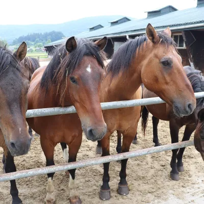 Horse ridingGładyszów Hucul Horse Stud, RegietówGładyszów16 km from Wisłoka RiverThe "Gładyszów" Hucul Horse Stud (Stadnina Koni Huculskich „Gładyszów”) in the Lemko village of Regietów is one of the largest places in the world where Hucul ponies...
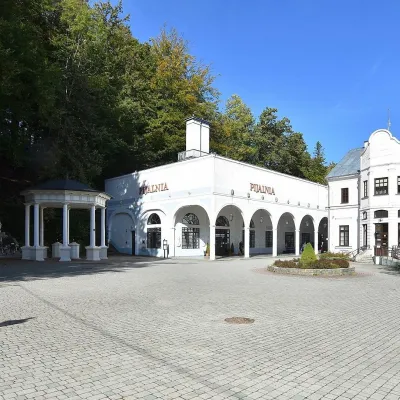 Water parks & thermal poolsIwonicz-Zdrój: mineral-water pump room, pool and salt caveIwonicz-Zdrój22 km from Wisłoka RiverIwonicz-Zdrój is the largest and oldest spa in the Podkarpackie region, a quiet little town in wooded hills south of Krosno, on the threshold of the Low Beskids.
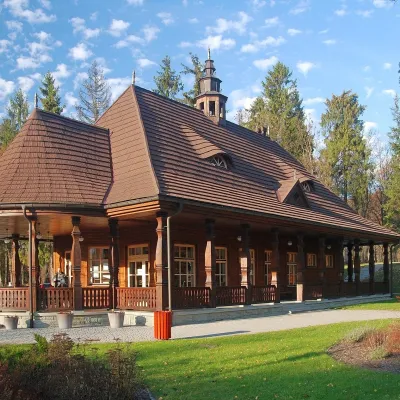 Water parks & thermal poolsWysowa-Zdrój spa: pump room, Franciszek and Henryk watersWysowa-Zdrój24 km from Wisłoka RiverWysowa-Zdrój is a quiet spa at the source of the Ropa river in the Beskid Niski, at 500–550 m, 20 km from Krynica-Zdrój and 25 km from Bardejovské Kúpele in Slovakia.
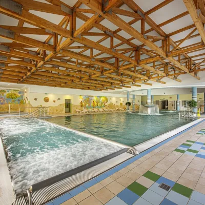 Water parks & thermal poolsBardejovské Kúpele: Wellness Spa Ozón and summer poolBardejov25 km from Wisłoka RiverBardejovské Kúpele is one of Slovakia’s oldest spas, a part of the town of Bardejov about 5 km from its centre, in a valley under the Magura massif that shelters it...
