Bartne – Krempna
Trail map
Route, springs and shelters: © OpenStreetMap contributors (ODbL) · elevation: Copernicus DEM © DLR e.V., © Airbus DS · Data & licences
About the trail
Route Bartne – Krempna. Has yellow marking (regional route, PTTK). Waymarking data: OpenStreetMap (© OpenStreetMap contributors, ODbL).
Officially marked regional tourist route. The marking is yellow, the sign is a horizontal stripe on a white background. Marked and maintained by: PTTK. Length of the route is 17.8 km. Location: mountain range — Low Beskids, Poland.
At a glance
A one-day route of 17.8 km with 375 m of ascent from Bartne to Krempna. Estimated walking time: about 5 h, not counting stops. Difficulty: moderate. Waymarking: yellow.
Route stages
- 0–3 kmClimb of 120 m to Majdan Pass
- 3–7 kmDescent of 160 m (down to 467 m)
- 7–12 kmGentle ups and downs at 400–500 m
- 12–14 kmClimb of 170 m to Szczeb (577 m)
- 14–18 kmDescent of 200 m to Krempna
Steepest kilometre: km 12–13, a climb of 100 m (≈10%).
Water and overnight stays
Our map shows no springs near the trail — bring your own water (at least 3 l).
When to go
The route can be walked most of the year; it is most comfortable from April to October.
Getting there
Start: Bartne. This is a one-way route: the finish is 13 km from the start in a straight line, so plan your way back in advance.
FAQ
- How long does the route take?
- Estimated walking time: about 5 h, not counting stops.
- Is there water on the route?
- Our map shows no springs near the trail — bring your own water (at least 3 l).
Comments
Trails nearby
All trails
Craft nearby
All craft places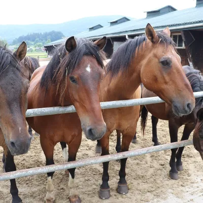 Horse ridingGładyszów Hucul Horse Stud, Regietów7.1 km from the trailThe "Gładyszów" Hucul Horse Stud (Stadnina Koni Huculskich „Gładyszów”) in the Lemko village of Regietów is one of the largest places in the world where Hucul ponies...
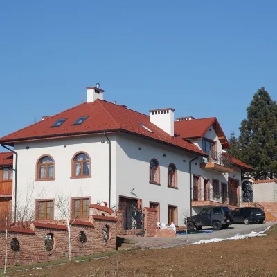 Wine & tastingsDwie Granice Vineyard, Przysieki near Jasło: cellar and tastings20 km from the trailWinnica Dwie Granice (“Two Borders”) lies in the village of Przysieki a few kilometres west of Jasło, on the Jasło Wine Route.
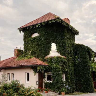 Wine & tastingsVanellus Vineyard, Jareniówka near Jasło: wine tastings23 km from the trailWinnica Vanellus is a small family vineyard in the village of Jareniówka, a few kilometres from the centre of Jasło.
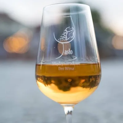 Markets & fairsInternational Wine Days in Jasło: a wine fair on the square23 km from the trailJasło is a small town in Podkarpacie that is often called one of the cradles of Poland's wine revival.
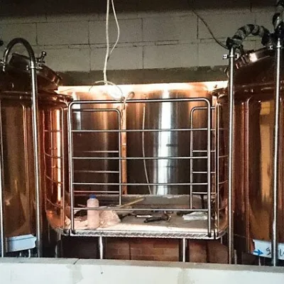 Craft beer & breweriesBrowar Dukla: craft brewery and brewpub on Dukla market square25 km from the trailDukla is an old small town at the foot of Mount Cergowa, on the historic trade route from Poland to Hungary over the Dukla Pass.
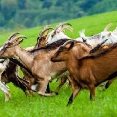 Cheese dairies & pasturesFIGA Organic Goat Cheese Farm, Mszana near Dukla25 km from the trailThe FIGA organic family farm in the Lemko village of Mszana near Dukla is one of Poland's oldest goat cheese dairies.
