Wisłok River
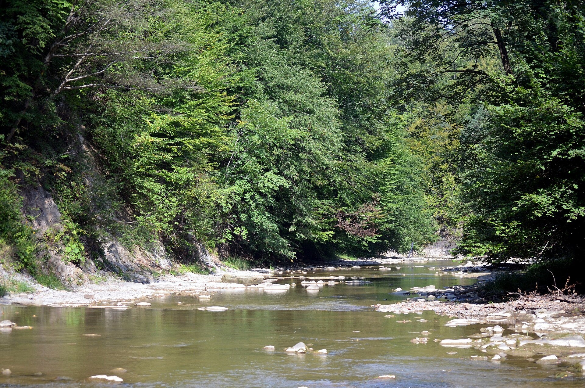
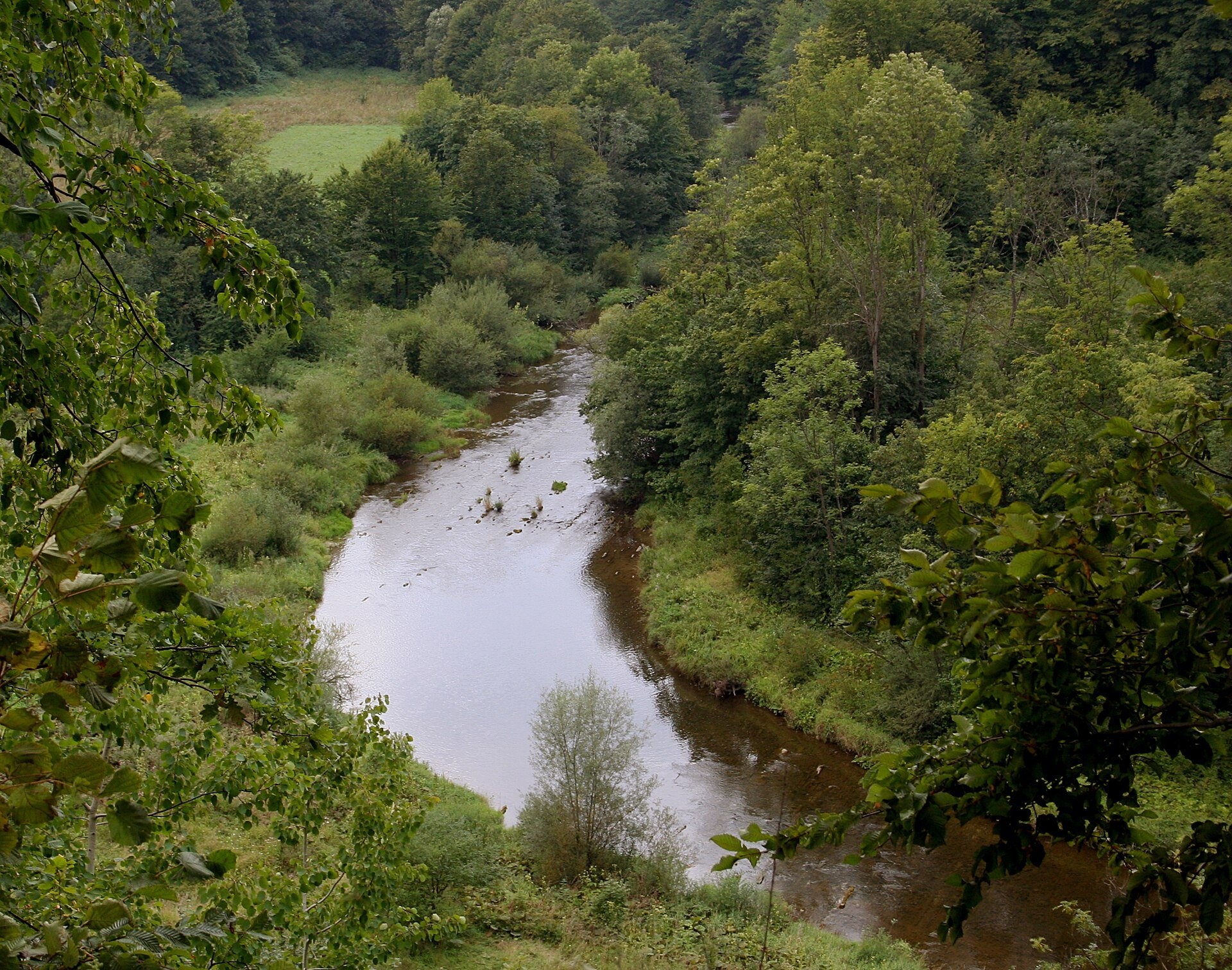
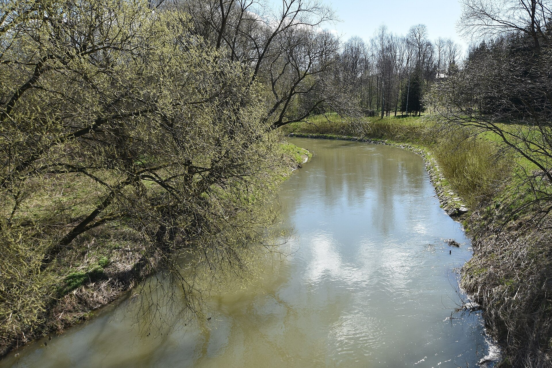
The Wisłok is a left-bank tributary of the San in south-eastern Poland. The Polish encyclopaedia gives a length of 228 km (Wikidata: 205 km) and a basin of 3,528 km². It is a mountain river with a fast current, a rocky bed and many gorges: it rises in the Beskid Niski below the main ridge of the Carpathians, flows through the Bukowsko Foothills and the Jasło–Sanok Depression, then across the Sandomierz Basin past Krosno and Rzeszów to the San. The linguist Wanda Daszykowska-Ruszel derives the name from the Proto-Indo-European word veis, «something liquid, flowing»; the names of the Vistula, Wisełka and Wisłoka come from the same root.
The course: from source to mouth
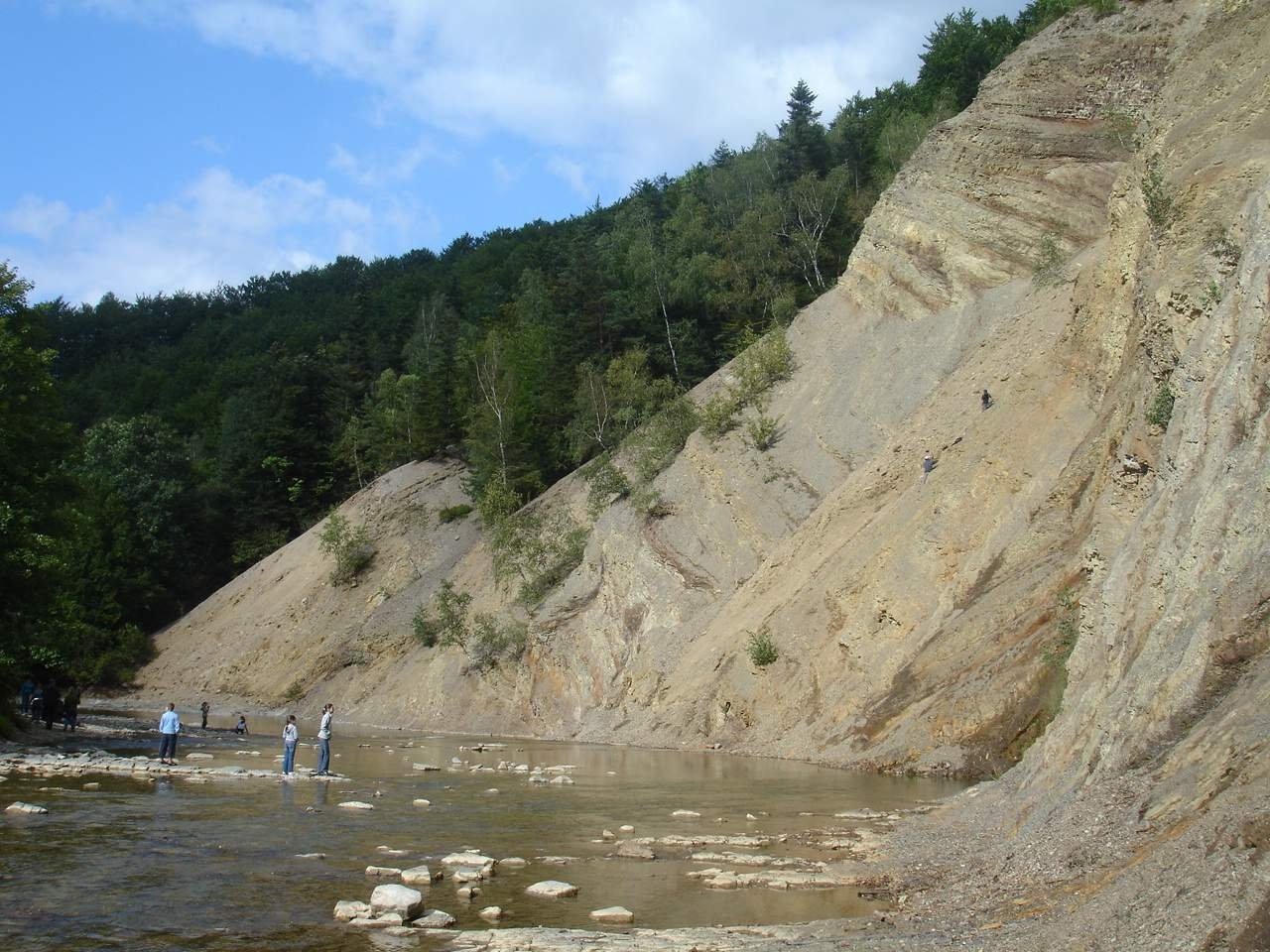
The springs and upper course of the Wisłok lie in the Beskid Niski, within the «Źródliska Jasiołki» nature reserve. Based on flow measurements of the headstreams, the river is taken to rise at 770 m on the northern slopes of Wielki Bukowiec (Pasika); its highest spring is a small outflow at about 812 m on the eastern slope of the summit dome of Kanasiówka, about 100 m from the state border. In its upper course the Wisłok forms gorges, in its middle course it meanders. It passes Wisłok Wielki and at Rudawka Rymanowska cuts through the hills in a narrow gorge, where the Olza Wall rises above the water and the Wisłok Ravine begins. On the slopes of the Olza Wall is the largest exposure of menilite shales in the Polish Carpathians.
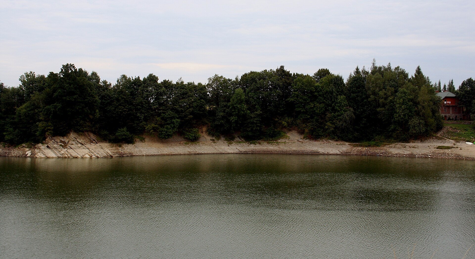
At Sieniawa near Besko a dam 174 m long and up to 38 m high was built on the Wisłok in 1971–1978; the reservoir covers up to 131 ha, and below the dam the river again flows through a deep ravine. The Wisłok then passes Krosno, Strzyżów and Rzeszów and joins the San on the lowland.
What to see along the river
- The Olza Wall and the Wisłok Ravine at Rudawka Rymanowska — a rocky gorge with menilite shales.
- The reservoir at Sieniawa near Besko — an artificial lake in the river valley.
- Subcarpathian Museum in Krosno — in the town on the Wisłok.
- Glass Heritage Centre in Krosno — in Krosno near the Wisłok.
The river and people
Until 1340 the Wisłok was the border between the kingdom of Casimir the Great and the Principality of Halych, and during the partitions, in 1772–1914, the San and the Wisłok carried the administrative boundary between Western and Eastern Galicia. The oldest traces of people by the river are about 3,000 years old: near Zarszyn a sword from 1100–1200 BC was found on a forest road. In the mid-14th century 20 villages under German law were founded along the Wisłok, and under Louis of Hungary a German ethnic island arose around Łańcut; the village of Markowa kept its German language until the 18th century. In the First World War, on 8–10 May 1915, the river between Odrzechowa and Besko was a Russian defence line, and Bosnian regiments tried several times in vain to cross it in the deep ravine at Besko. Until the 1930s the Wisłok was navigable: boats carried timber to Strzyżów, and earlier the local gentry shipped their grain down the Wisłok, the San and the Vistula all the way to Gdańsk.
Nature and safety
The springs of the Wisłok are protected by the «Źródliska Jasiołki» reserve in the Beskid Niski. The mountain part of the river is fast with a rocky bed, so after downpours the level in the gorges rises very quickly; do not enter the water in the ravines during high water. Mountain rescue is GOPR: 985 or +48 601 100 300; the general emergency number is 112.
Nearby: peaks, trails, huts
The trail Wisłok Górny – Kanasiówka leads to the springs below Kanasiówka, Besko – Komańcza climbs from Besko into the hills, and the Main Trail of Beskidy crosses the Wisłok valley.
Photos: Hersta, CC BY-SA 3.0, Wikimedia Commons; Silar, CC BY-SA 4.0, Wikimedia Commons; Przykuta, CC BY-SA 3.0, Wikimedia Commons; Henryk Bielamowicz, CC BY-SA 4.0, Wikimedia Commons; Lajsikonik, CC BY-SA 3.0, Wikimedia Commons.
Getting there from Ukraine
Border crossings
- Krakovets – Korczowa — road, 24/7
- Shehyni – Medyka — road, 24/7 Pedestrian crossing is not confirmed by the Ukrainian border service — check dpsu.gov.ua before the trip.
- Smilnytsia – Krościenko — road, 24/7
- Hrushiv – Budomierz — road, 24/7
- Mostyska – Przemyśl (rail) — rail, 24/7
By car
Lviv – Sanok ≈168 km, ≈3 h 20 min without queues: road to Shehyni → Shehyni – Medyka checkpoint → Przemyśl → DK28 via Bircza to Sanok (≈83 km, ≈1 h 45 min from the border). Alternative via Krakovets – Korczowa: A4 to the Radymno exit, DK77 to Przemyśl and DK28 (≈185 km from Lviv, ≈3 h 25 min). For the Bieszczady proper, Smilnytsia – Krościenko is handier: Lviv – Sambir – Staryi Sambir – border, then DK84 via Ustrzyki Dolne to Sanok (≈203 km, ≈5 h; ≈57 km from the border). From Krościenko to Ustrzyki Górne by DW896 ≈53 km (≈1 h 40 min; ≈200 km and ≈4 h 50 min from Lviv), to Wetlina by DW896 and DW897 ≈69 km (≈216 km and ≈5 h from Lviv). From Sanok: Ustrzyki Górne ≈82 km (DK84 via Lesko, then DW896, ≈1 h 35 min), Wetlina ≈72 km (DK84 to Lesko, DW894 via Baligród and Cisna, DW897, ≈1 h 20 min).
Checked 23.10.2026; border crossing hours and timetables change — check before you travel.
Location on the map
Comments
Trails nearby
All trails HardMulti-dayMarkedMain Trail of BeskidyElevation profile309–1 723 m499.9 kmascent 19 519 munder 1 km from Wisłok River
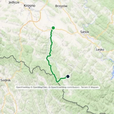 HardMulti-dayMarkedBesko KomańczaElevation profile290–848 m48.1 kmascent 1 190 m1.7 km from Wisłok River
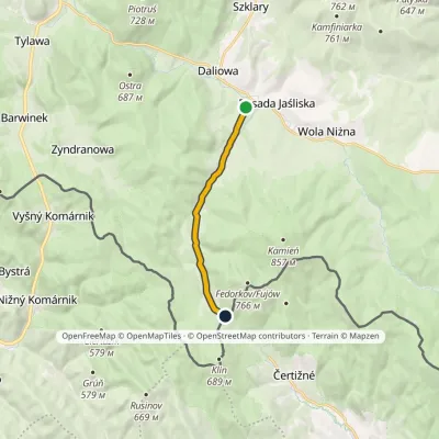 EasyOne-dayMarkedJaśliska Beskid Pass over CzeremchaElevation profile456–575 m8.6 kmascent 132 m≈ 2.5 h walking11 km from Wisłok River
Nearby attractions
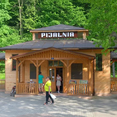 Water parks & thermal poolsRymanów-Zdrój: pump room, Tytus and Klaudia waters, graduation towerRymanów-Zdrój6.4 km from Wisłok RiverRymanów-Zdrój is a spa in the valley of the Tabor river in the Beskid Niski, about 4 km south of the town of Rymanów.
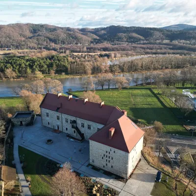 CastleRoyal Castle in Sanok and the Beksiński GallerySanok22 km from Wisłok RiverThe Royal Castle in Sanok (Zamek Królewski w Sanoku) stands on a hill above the San in the centre of town and is now home to the Historical Museum.
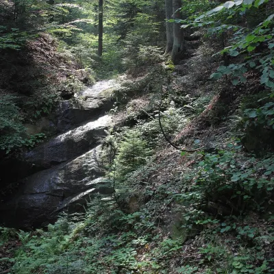 WaterfallTrzy Wody Waterfall, KomborniaWola Komborska25 km from Wisłok RiverTrzy Wody Waterfall (Wodospad Trzy Wody, "Three Waters") is a natural waterfall on a small forest stream in the woods near the village of Kombornia in the commune of...
Craft nearby
All craft places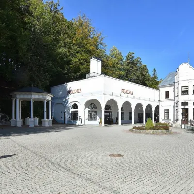 Water parks & thermal poolsIwonicz-Zdrój: mineral-water pump room, pool and salt caveIwonicz-Zdrój11 km from Wisłok RiverIwonicz-Zdrój is the largest and oldest spa in the Podkarpackie region, a quiet little town in wooded hills south of Krosno, on the threshold of the Low Beskids.
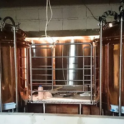 Craft beer & breweriesBrowar Dukla: craft brewery and brewpub on Dukla market squareDukla18 km from Wisłok RiverDukla is an old small town at the foot of Mount Cergowa, on the historic trade route from Poland to Hungary over the Dukla Pass.
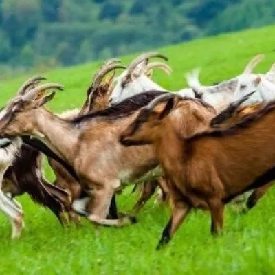 Cheese dairies & pasturesFIGA Organic Goat Cheese Farm, Mszana near DuklaMszana19 km from Wisłok RiverThe FIGA organic family farm in the Lemko village of Mszana near Dukla is one of Poland's oldest goat cheese dairies.
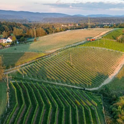 Wine & tastingsWinnica Kmiecia in Zahutyń near Sanok: tastings and eventsZahutyń23 km from Wisłok RiverWinnica Kmiecia is a young winery in the village of Zahutyń between Sanok and Zagórz, where the Low Beskids meet the Bieszczady.
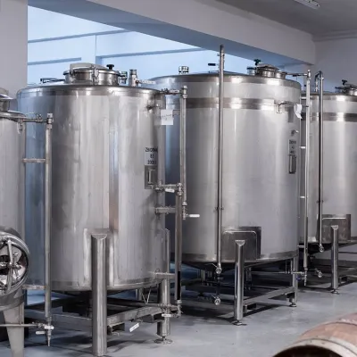 Craft producersManufaktura Nalewek, Krosno: tasting Podkarpackie fruit liqueursKrosno23 km from Wisłok RiverManufaktura Nalewek is a family producer of traditional Polish nalewki in Krosno, Podkarpackie. Nalewki, strong infusions of fruit, berries and herbs, were once the...
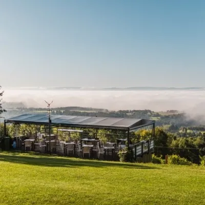 Wine & tastingsWinnica Widokowa, Kombornia: wine with a view of the BeskidsWola Komborska25 km from Wisłok RiverWinnica Widokowa is a family vineyard on a hill above the village of Kombornia, between Krosno and Brzozów.
