Vuchkove
What to visit
Landmarks, museums and places of interest near Vuchkove.
 ChurchChurch of St. Michael the Archangel, Negrovets8.4 km from the centreIts only attraction is the ancient church of St. It is reliably known that the church marks the beginning of the village of Negrovets for more than 200 years.
 ChurchChurch of Peter and Paul, Mizhhiria9.4 km from the centreBuilt in the mid-thirties of the last century, the Church of Peter and Paul has been radically renovated in recent years thanks to the efforts of its rector, Fr.
 NatureSynevyr (Mizhhirya) Pass11 km from the centreThe Synevyr Pass (also called the Mizhhiria Pass) is a pass in the Ukrainian Carpathians, in the southwestern outskirts of the Inner Gorgany massif.
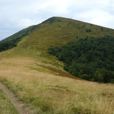 PeakMount Kukaltitude 1 361 m · Borzhava range11 km from the centreKuk is a mountain in the south-eastern part of the Polonyna Borzhava massif in Zakarpattia Oblast. It stands south-west of Mizhhiria and south of the village of...
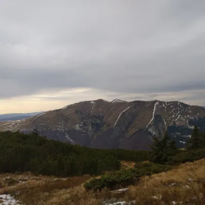 PeakMount Yasenovetsaltitude 1 628 m12 km from the centre5 trails to the topThe top of Mount Yasenovets is 1628 meters above sea level, located in Mizhhirya district of Zakarpattia region.
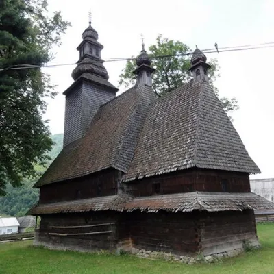 ChurchHoly Spirit Church, Kolochava12 km from the centreTheChurch of the Holy Spirit is a wooden church-museum located on a hill near the main road among the spruce trees in the village of Kolochava, Mizhhiria district,...
Where to stay
Hotels, guesthouses and cottages in and around Vuchkove.
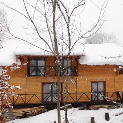 HomesteadHomestead "Dva Braty" Podobovets (sauna, tub)32 km from the centreHot tubSaunaBBQNearby: Shypit Waterfall 2.0 kmMt Gemba 4.5 km16 trails
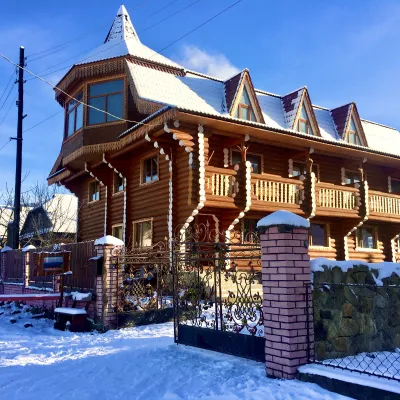 HotelChayna Khata32 km from the centreHot tubBBQKitchen
 Homestead"U Davidka i Matviika"37 km from the centreFireplaceKitchenParkingNearby: Mt Petros Gorgansky 4.6 kmMt Studenets 3.8 km2 trails
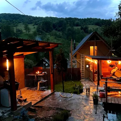 HomesteadPrivate Homestead "Forest House"37 km from the centreThe house is designed for 6 people. Additional places are available.Nearby: St. Michael's Church 7.9 km10 trails
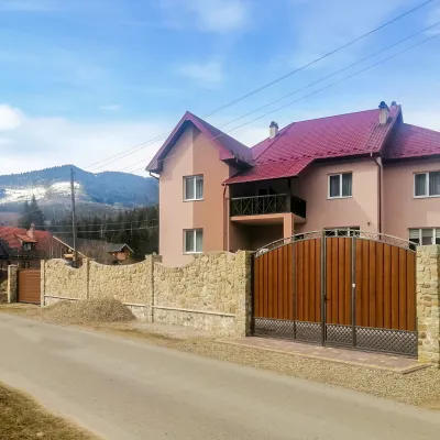 HotelDen House40 km from the centrePoolSaunaBreakfastNearby: Mt Gorgan-Ilemsky 8.0 kmMt Yayko-Ilemske 10.0 km7 trails
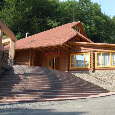 HotelHotel "Zatyshok" Nelypino42 km from the centreSaunaParkingWi‑FiNearby: St. Michael's Church 3.7 km2 trails
Trails nearby
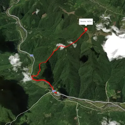 ModerateOne-dayMarkedCarpathian Tourist TrailElevation profile343–1 030 m5.4 kmascent 896 m≈ 3 h walking2.8 km from the centre
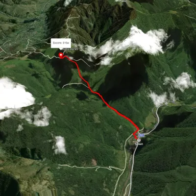 EasyOne-dayMarkedCarpathian Tourist TrailElevation profile349–840 m4.2 kmascent 622 m≈ 2.5 h walking2.9 km from the centre
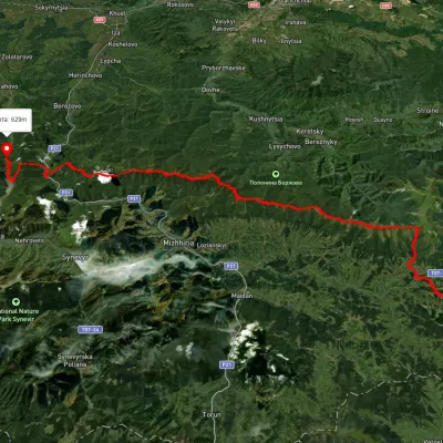 HardMulti-dayUnmarkedSkotarske village to Vilshanske reservoirvia Borzhava polonyna, Palenyi Hrun polonynaElevation profile315–1 504 m72.3 kmascent 3 487 m3 km from the centre
Peaks nearby
PeakMount Kukaltitude 1 361 m · Borzhava range11 km from the centreKuk is a mountain in the south-eastern part of the Polonyna Borzhava massif in Zakarpattia Oblast. It stands south-west of Mizhhiria and south of the village of...PeakMount Yasenovetsaltitude 1 628 m12 km from the centre5 trails to the topThe top of Mount Yasenovets is 1628 meters above sea level, located in Mizhhirya district of Zakarpattia region.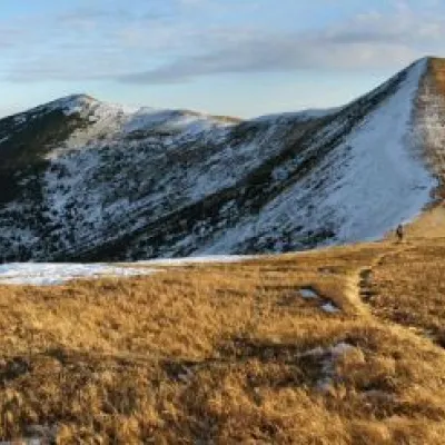 PeakMount Velyka Gropaaltitude 1 667 m13 km from the centre5 trails to the topToday we will move to the Mizhhirya region, namely to the Pishkonya massif, where the Velyka Gropa mountain rises.