Vuchkove village – loop trail
Trail map
Route, springs and shelters: © OpenStreetMap contributors (ODbL) · elevation: Copernicus DEM © DLR e.V., © Airbus DS · Data & licences
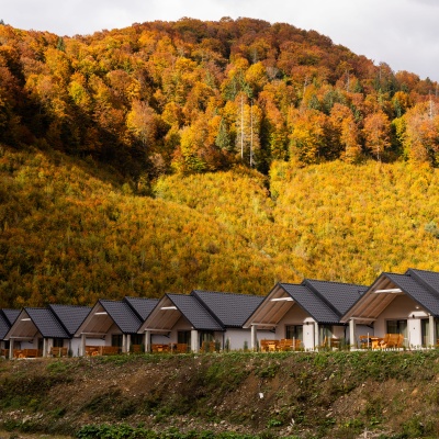
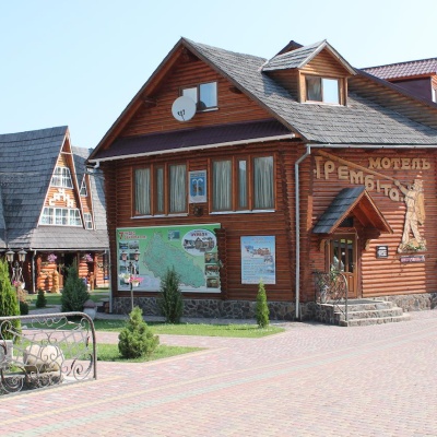
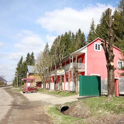
Where to stay nearby
About the trail
Route Vuchkove village – loop trail. Has yellow marking (local route). Waymarking data: OpenStreetMap (© OpenStreetMap contributors, ODbL).
Officially marked local tourist route. The marking is yellow, the sign is a horizontal stripe on a white background. Length of the route – 2.6 km. Location: mountain range – Borzhava, Zakarpattia region.
At a glance
A short route of 2.6 km with 40 m of ascent from Vuchkove village to loop trail. Estimated walking time: about 0.5 h, not counting stops. Difficulty: easy. Waymarking: yellow.
Water and overnight stays
A spring near the trail: at km 2.5.
Places to stay near the finish: Mizhhiria.
When to go
The route can be walked most of the year; it is most comfortable from April to October.
Getting there
Start: Vuchkove village. This is a one-way route: the finish is 2 km from the start in a straight line, so plan your way back in advance.
FAQ
- How long does the route take?
- Estimated walking time: about 0.5 h, not counting stops.
- Is there water on the route?
- A spring near the trail: at km 2.5.
- Where can I stay overnight?
- Places to stay near the finish: Mizhhiria.
Water and shelter on the route
- Spring (Vuchkove, 2)km 2.6 from the start · 80 m off the path · Not verified · 420 m
Before you go, check the border-regime restrictions: Border Guard permit for mountain hikes (in Ukrainian)
Comments
Trails nearby
All trails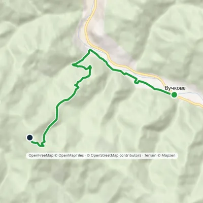 ModerateOne-dayMarkedVuchkove village green trailElevation profile366–996 m8.4 kmascent 669 m≈ 3.5 h walking
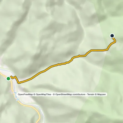 EasyOne-dayMarkedCarpathian Tourist TrailElevation profile342–823 m4.2 kmascent 464 m≈ 2 h walking
 HardMulti-daySkotarske village to Nyzhnii Bystryi villagevia Borzhava polonyna, Palenyi Hrun polonynaElevation profile285–1 513 m63.7 kmascent 2 776 m
Craft nearby
All craft places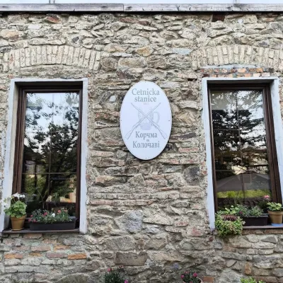 Koliby & Hutsul cuisineKorchma “Zhandarmska Uprava”, KolochavaKolochava11 km from the trailKorchma “Zhandarmska Uprava” (“The Gendarmerie Station”) is a family-run tavern in the centre of Kolochava, one of the best-known tourist villages in Transcarpathia.
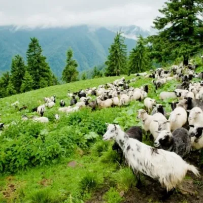 Cheese dairies & pasturesShepherding School on Mount Strymba, KolochavaKolochava11 km from the trailThe Kolochava Shepherding School is not a building with classrooms but a summer shepherds' camp (salash) on the slopes of Mount Strymba (1,719 m), one of the highest...
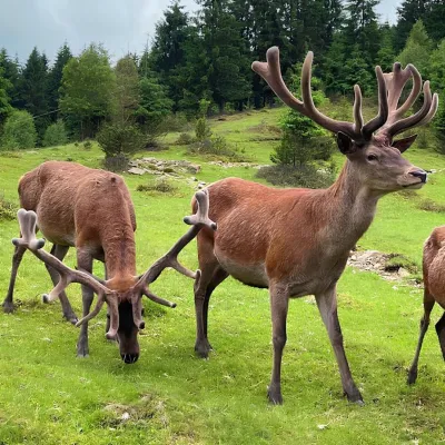 Wildlife parks & animal farmsBioPark Synevyr – Africa in the Carpathians, Synevyrska PolianaSynevyrska Polyana14 km from the trailBioPark Synevyr – Africa in the Carpathians is a hands-on animal park in the Rabachynka area near Synevyrska Poliana, in the valley of the Chorna river.
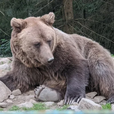 Wildlife parks & animal farmsBrown Bear Rehabilitation Centre, Synevyr National Park, Synevyrska PolianaSynevyrska Polyana15 km from the trailThe Brown Bear Rehabilitation Centre of Synevyr National Nature Park is Ukraine’s largest refuge for bears that have suffered from cruel treatment.
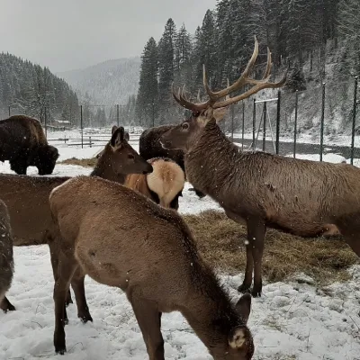 Wildlife parks & animal farmsWolf Valley Eco Park, Synevyrska PolianaSynevyrska Polyana16 km from the trailWolf Valley Eco Park (Dolyna Vovkiv) is a private animal park in Synevyrska Poliana, in the Mizhhiria area of Zakarpattia, where several kinds of wolves, red deer,...
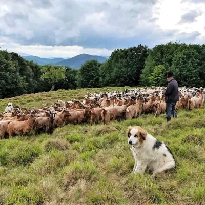 Cheese dairies & pasturesVivcharskyi Khutir Sheep Farm, Synevyrska PolianaSynevyrska Polyana18 km from the trail"Vivcharskyi Khutir" ("Shepherd's Homestead") is an ethno-centre and sheep farm in Synevyrska Poliana, near Lake Synevyr.
