Veľký Milič (Nagy-Milic)
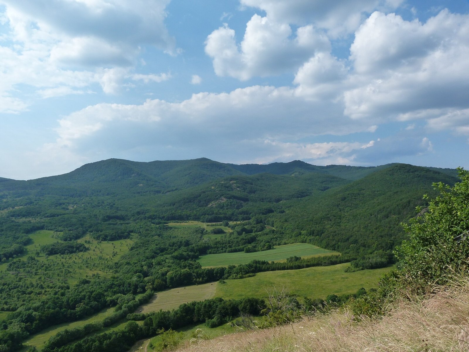
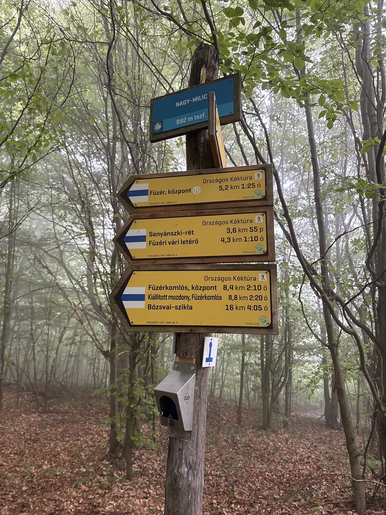
Veľký Milič (Hungarian Nagy-Milic) is an 895 m summit right on the Slovak–Hungarian border, about 14 km south-east of Košice. For Slovakia it is a peak of the Slanské vrchy above the village of Slanská Huta; for Hungary it is the highest summit of the Zemplén Mountains (the country's 38th-highest mountain), near Hungary's northernmost point above the village of Füzér. Both ranges are parts of one volcanic Prešov–Tokaj chain that the state border crosses here. Milič is also a watershed and a linguistic boundary where the Hungarian and Slovak language areas meet.
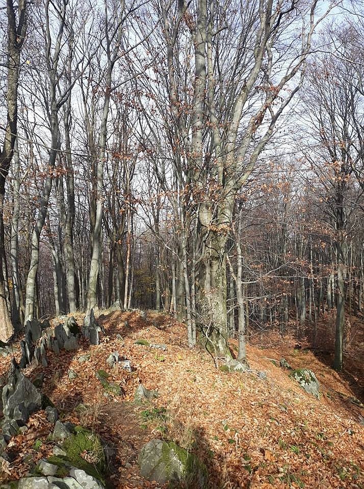
Geologically Milič is what Hungarian geologists call a «ruin volcano»: the eroded remnant of a once huge volcano that blew apart. The summit ridges are stony, the slopes — especially the southern ones — steep, and the whole top is covered in continuous forest, so there is no view from it. The name is derived from a Slavic personal name based on «milъ» (dear); a document of 1270 mentions «Mylychkw», probably «Milič's stone».
On the summit
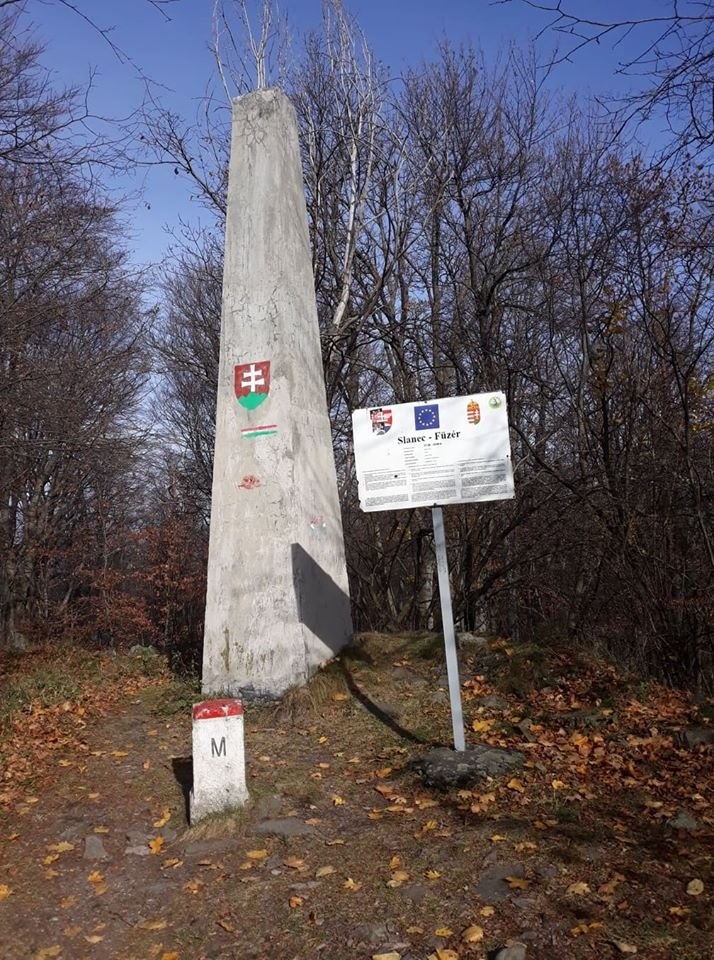
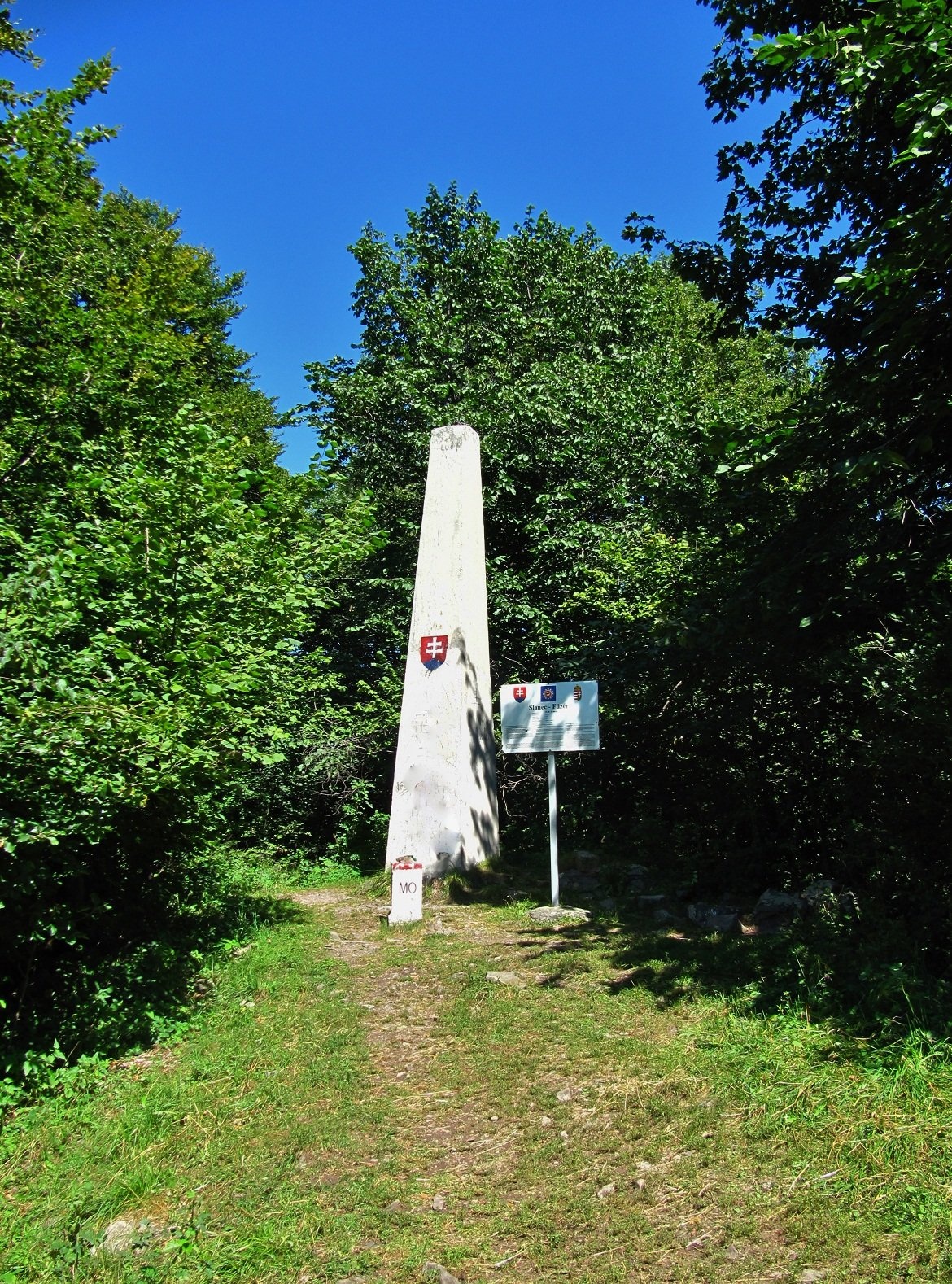
Next to the border stone stands a tall concrete geodetic obelisk from the interwar period, along with an information board of the Slovak educational trail Slanská Huta – Veľký Milič about the local flora, a table with benches and a sign of the former Slanec – Füzér tourist border crossing. The pedestrian crossing opened in 2006, and since both countries joined the Schengen area the border can be crossed freely here. An old wooden lookout tower on the summit itself ended up in the border zone and collapsed in the 1970s.
Getting there / trails
- From Slovakia: green markings along the border ridge from the Čatorňa junction or from the Veľký Milič saddle; yellow markings lead to the saddle from Malá Márovka and from the Malý Milič saddle. The easiest ascent is from the village of Slanská Huta.
- From Hungary: stage 27 of the National Blue Trail (Országos Kéktúra), Hollóháza – Nagy-Milic – Füzér, crosses the summit, where there is a stamp point. Milic was once the eastern end of this trail, and it was from here in 1979 that the film crew of the legendary Hungarian TV series «One and a Half Million Steps in Hungary», led by Pál Rockenbauer, set off.
- The international Via Carpatica Vulcanica and Via Slovakia routes also pass here.
The view
The best panorama is from the Károlyi lookout tower on the neighbouring top of Kis-Milic, about 500 m from the main summit: the tower is 16.8 m high with a viewing platform at 11 m. From there you can see the Slanské vrchy and Zemplén, the Košice basin, the East Slovak Lowland, Vihorlat, the Volovské vrchy and occasionally the Tatras. Hungarian sources add that on clear days the Ukrainian Carpathians and Romania's Gutâi can be seen too.
Nature
East of the summit lies the Veľký Milič National Nature Reserve, declared in 1967 over about 68 ha: it protects forests on volcanic rocks in the southern Slanské vrchy and important nesting sites of birds of prey. The northern part of the massif belongs to the Miličská skala natural monument — a distinctive rock outcrop about 250 m from the summit. The Trebeľa stream rises on the western slopes, while the eastern ones drain to the Roňava in the Bodrog basin.
Safety
The forest here is dense and lonely, and your phone may switch to a Hungarian network. In an emergency call 112, which works in both countries; in Slovakia also the Mountain Rescue Service (HZS): 18 300 (+421 18 300).
Photos: MVDr. Samuel Pačenovský, CC BY-SA 4.0; SamuT, CC BY 3.0; Derzsi Elekes Andor, CC BY-SA 3.0; MVDr. Samuel Pačenovský, CC BY-SA 4.0; Nyulasi Zsolt, CC BY-SA 4.0 — Wikimedia Commons.
Getting there from Ukraine
Border crossings
- Uzhhorod – Vyšné Nemecké — road, 24/7
- Malyi Bereznyi – Ubľa — road, 24/7 For cars and buses; pedestrians not confirmed by the Ukrainian border service, lorries up to 3.5 t.
- Mali Selmentsi – Veľké Slemence (pedestrian) — pedestrian, 09:00–21:00 Kyiv time Pedestrians and cyclists only; inconvenient for the Tatras without onward transport.
- Chop – Čierna nad Tisou (rail) — rail, 24/7
By car
Lviv – Snina ≈241 km, ≈4 h 20 min without queues: H-13 via Sambir and the Uzhok Pass to Velykyi and Malyi Bereznyi → Malyi Bereznyi – Ubľa checkpoint → road 74 to Snina (≈27 km, ≈30 min from the border). From Uzhhorod: via Vyšné Nemecké (I/19 towards Sobrance, then II/566 and road 74) ≈65 km, ≈1 h 15 min; via Malyi Bereznyi – Ubľa ≈80 km, ≈1 h 40 min, but that crossing is usually less busy.
Checked 23.10.2026; border crossing hours and timetables change — check before you travel.
Location on the map
Water and shelter nearby
- Spring below Nagy-Milic / Veľký Milič710 m · Not verified · 728 m
- Spring below Suchá hora (north-east slope)1.6 km · Not verified · 641 m
- St. František Tap1.8 km · Not verified · 561 m
- Drinking water below Suchá hora2.4 km · Not verified · 537 m
- Bodnár Spring3 km · Has water · 440 m
Comments
Trails nearby
All trails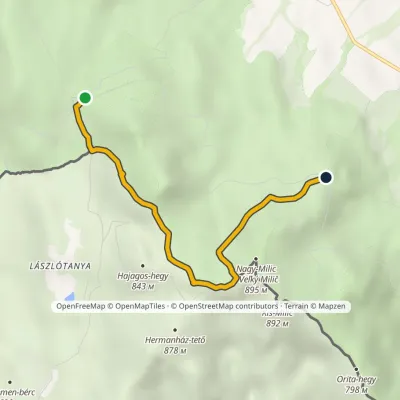 EasyOne-dayMarkedMalý Milič, saddle Malá MárovkaElevation profile663–886 m4.1 kmascent 213 m≈ 1.5 h walkingunder 1 km from Veľký Milič (Nagy-Milic)
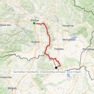 HardMulti-dayMarkedPrešov, Za kalváriou Slovenské Nové MestoElevation profile102–1 077 m135.8 kmascent 3 494 munder 1 km from Veľký Milič (Nagy-Milic)
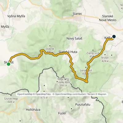 ModerateTwo-dayMarkedKalša SkárošElevation profile199–686 m20.8 kmascent 727 m≈ 6.5 h walking1.2 km from Veľký Milič (Nagy-Milic)
Nearby attractions
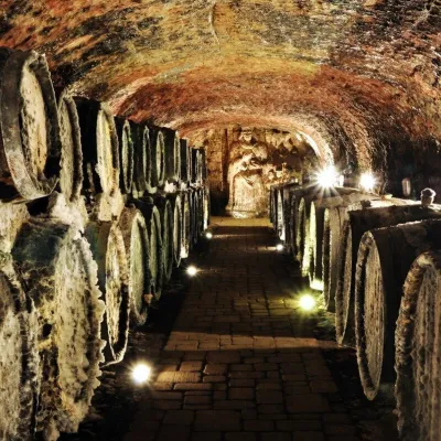 Wine & tastingsJ&J Ostrožovič Winery, Veľká Tŕňa: Tokaj tasting 13 m undergroundVeľká Tŕňa20 km from Veľký Milič (Nagy-Milic)Few people realise that Tokaj is not only a Hungarian wine. A small part of the historic Tokaj wine region lies in Slovakia: seven villages on the southern slopes of...
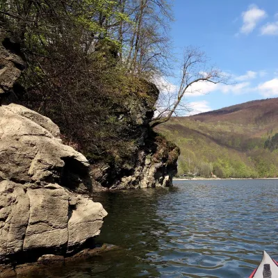 LakeRužín reservoir on the HornádMalá Lodina42 km from Veľký Milič (Nagy-Milic)Ružín is a reservoir on the Hornád river in the deep, winding valley of the Čierna hora hills, the north-eastern part of the Slovak Ore Mountains, a dozen or so...
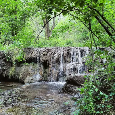 WaterfallHáj waterfalls in the Slovak KarstHáj45 km from Veľký Milič (Nagy-Milic)The Háj waterfalls (Hájske vodopády, Hungarian Áji vízesések) are a cascade of travertine waterfalls in the Háj valley in the Slovak Karst National Park (Slovenský...
Craft nearby
All craft places Wine & tastingsTokaj Macik Winery, Malá Tŕňa: organic Tokaj and cellar tastingsVeľká Tŕňa21 km from Veľký Milič (Nagy-Milic)Malá Tŕňa is the heart of Slovak Tokaj: its Medzipivničná ("Between-the-Cellars") Street runs along the stone portals of old cellars.
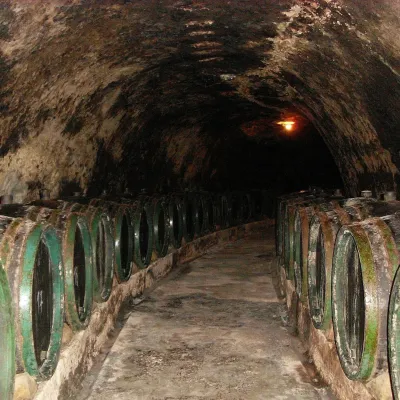 Wine & tastingsTokaj & CO, Malá Tŕňa: tasting in a 2.5 km historic cellarMalá Tŕňa21 km from Veľký Milič (Nagy-Milic)Malá Tŕňa is the heart of the Slovak part of the Tokaj wine region, and its wines have their place in history: the village coat of arms shows a man holding a golden...
 Crafts & workshopsMacák Pottery on Košice’s Craft Lane: ceramics and coursesHrašovík22 km from Veľký Milič (Nagy-Milic)Hrnčiarska Street in Košice old town is known as the "Craft Lane" (Ulička remesiel): craftspeople work in small houses below the walls of the former town fortifications.
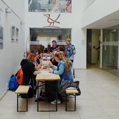 Crafts & workshopsÚĽUV Craft Centre Košice: craft workshops and folk-art shopBaška22 km from Veľký Milič (Nagy-Milic)ÚĽUV (Ústredie ľudovej umeleckej výroby, the Centre for Folk Art Production) is a state institution that has looked after Slovak folk crafts since 1945: it keeps a...
 Craft beer & breweriesHerrenwald craft brewery, Malá Ida: tour with the brewerMalá Ida24 km from Veľký Milič (Nagy-Milic)The Herrenwald brewery stands in its Panský les ("Lords’ Wood") quarter, from whose German name it takes its own.
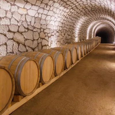 Wine & tastingsChateau Grand Bari, Veľká Bara: Tokaj tuff cellars and tastingsBara25 km from Veľký Milič (Nagy-Milic)Above its Veľká Bara quarter, on a terraced slope, stands Chateau Grand Bari — a winery built with elements of Italian architecture.
