Skároš
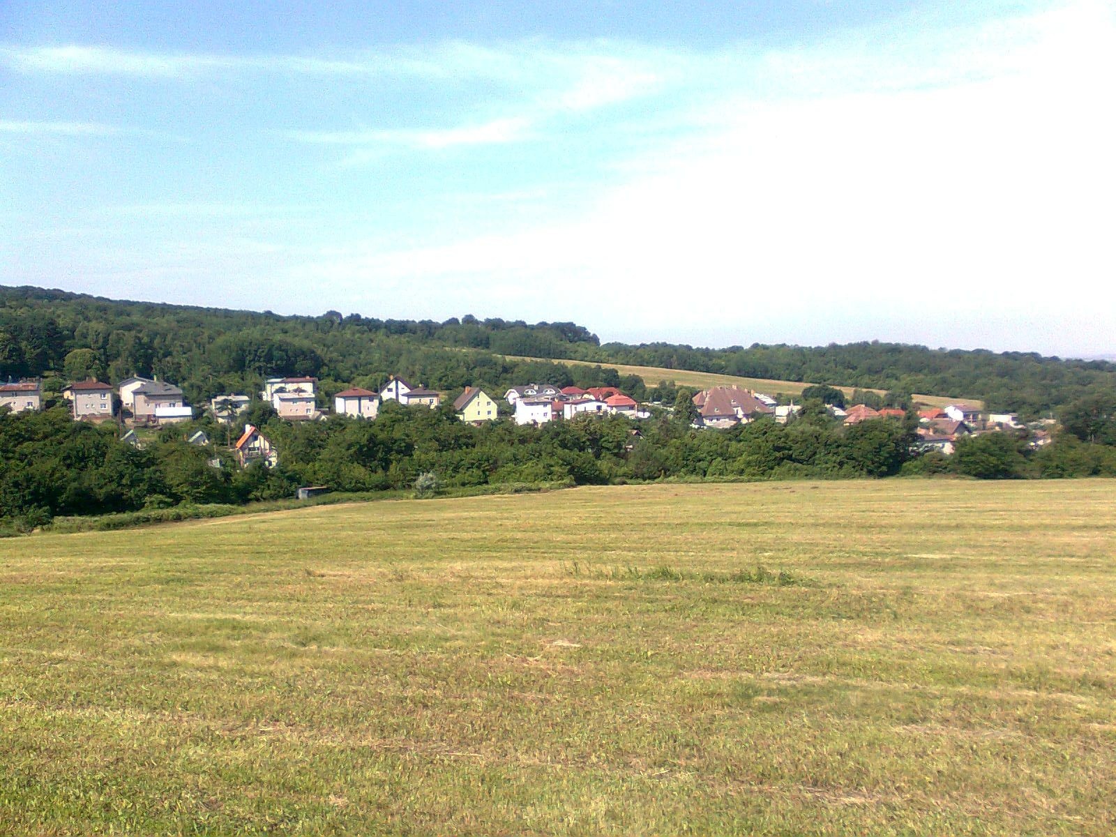
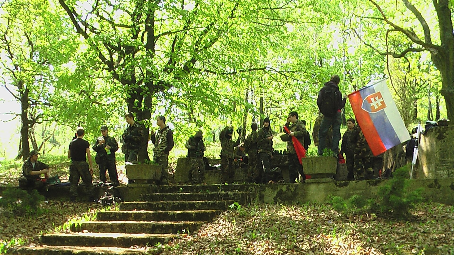
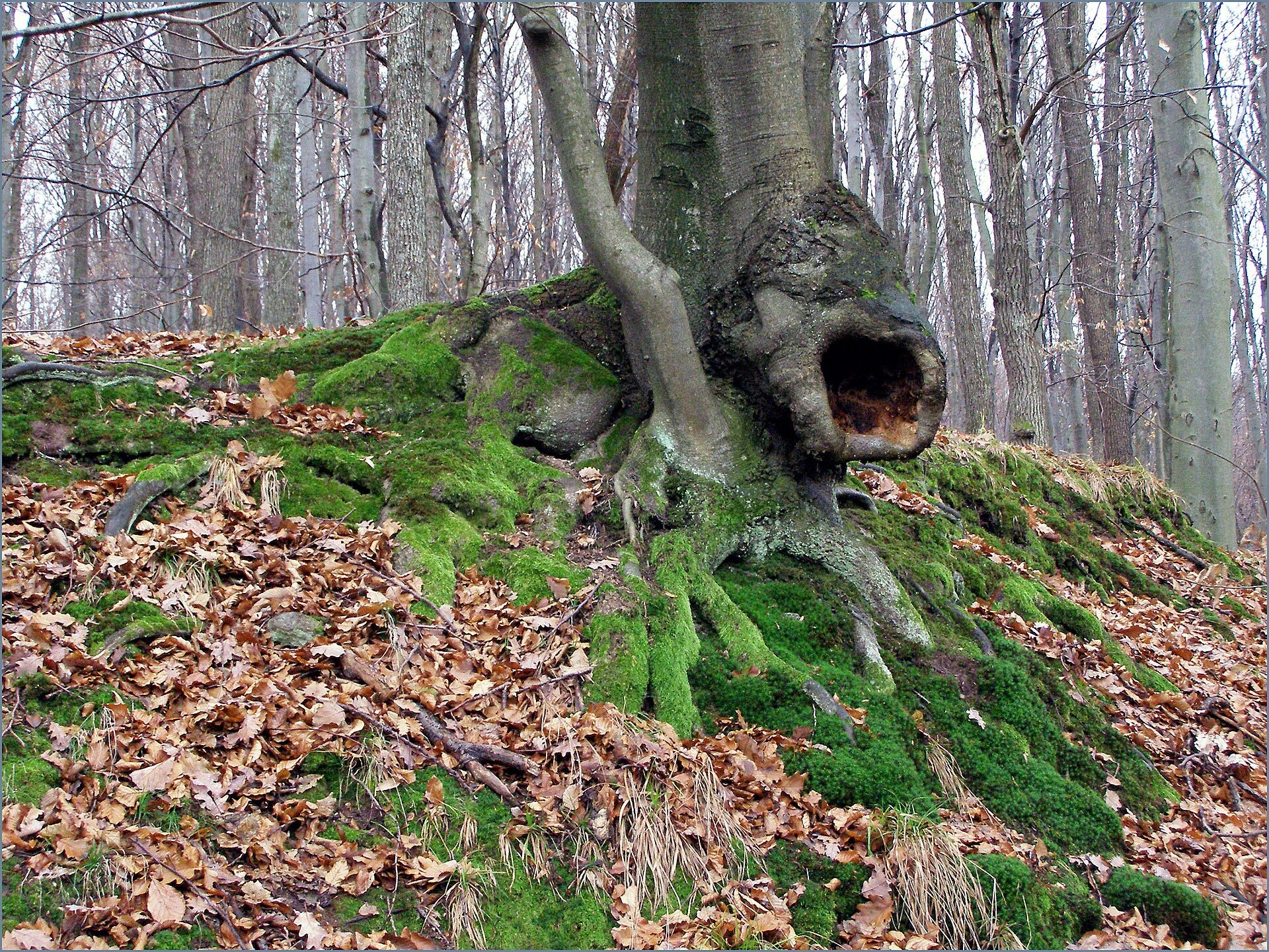
Photos: Peter439, CC BY-SA 3.0 (Wikimedia Commons); Joseph McDzedo, CC BY-SA 3.0 (Wikimedia Commons); Jan Starec, CC BY-SA 3.0 (Wikimedia Commons)
Skároš is a village in Slovakia, located in the Košice-okolie District of the Košice Region. The village sits at an altitude of 236 metres above sea level, covers an area of 36.87 km², and as of 2025 has a population of 1171. It is surrounded by the scenic Zemplén Mountains, and the Bradliansky and Miličský streams flow through the area, contributing to its tranquil natural setting.
The first historical mention of Skároš dates back to 1270, when it belonged to Trstené pri Hornáde. Over the centuries, the village has maintained its identity and is closely linked to the development of the Košice Region.
Skároš is known for its natural environment, especially its proximity to the Zemplén Mountains, which attract outdoor enthusiasts and nature lovers. The village preserves traditional rural culture, and the surrounding forests and streams offer excellent opportunities for walks and relaxation. The population is predominantly Slovak, with Rusyn, Romani, Hungarian, Polish, Czech, and other minorities also present, reflecting the area's diverse heritage.
Visitors to Skároš and its surroundings can explore eight marked hiking trails, including "Kuzmice – Skároš", "Kalša – Skároš", "Ruskov – Zvernica Črepník", "Zemplínska Teplica – Malinyak", "Malý Milič, saddle – Malá Marovka", "Brezina – Čatorňa, state border", "Vyšná Myšľa – Veľká Marovka", and "Ďurkov – Sosnová draga". The prominent peak in the area is Veľký Milič, ideal for hiking. Skároš serves as a convenient base for exploring the region's natural and cultural attractions.
Getting there from Ukraine
From Uzhhorod to Skároš is about 182 km (around 2 h 45 min without queues): the route goes via Vyšné Nemecké, Sobrance, Michalovce, and Košice, then on the D1 motorway via Prešov to the exit near Levoča, followed by road 533 to Spišská Nová Ves. An e-vignette is required for the D1 (eznamka.sk).
Sources: Wikipedia, Wikidata, OpenStreetMap, Karpaty.rocks data. More on Wikipedia
Trails nearby
All trails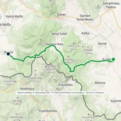 ModerateTwo-dayMarkedKuzmice SkárošElevation profile147–677 m21.4 kmascent 636 m≈ 6.5 h walkingunder 1 km from the centre
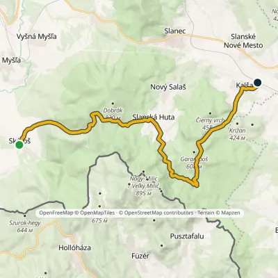 ModerateTwo-dayMarkedKalša SkárošElevation profile199–686 m20.8 kmascent 727 m≈ 6.5 h walkingunder 1 km from the centre
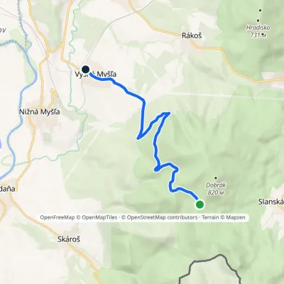 EasyOne-dayMarkedVyšná Myšľa Veľká MárovkaElevation profile213–704 m9.3 kmascent 33 m≈ 2.5 h walking3.5 km from the centre
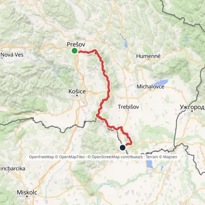 HardMulti-dayMarkedPrešov, Za kalváriou Slovenské Nové MestoElevation profile102–1 077 m135.8 kmascent 3 494 m4.1 km from the centre
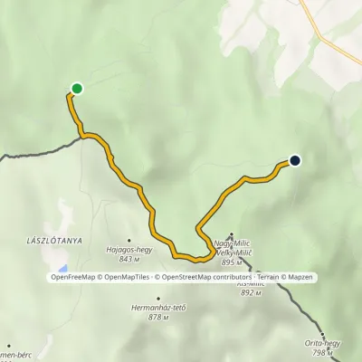 EasyOne-dayMarkedMalý Milič, saddle Malá MárovkaElevation profile663–886 m4.1 kmascent 213 m≈ 1.5 h walking4.5 km from the centre
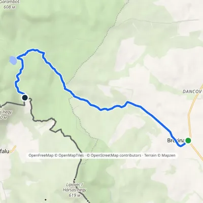 EasyOne-dayMarkedBrezina Čatorňa, state borderElevation profile180–459 m7.7 kmascent 282 m≈ 2.5 h walking8.9 km from the centre
Peaks nearby
All peaks
What to visit
All Crafts & workshopsMacák Pottery on Košice’s Craft Lane: ceramics and coursesHrašovík17 km from the centreHrnčiarska Street in Košice old town is known as the "Craft Lane" (Ulička remesiel): craftspeople work in small houses below the walls of the former town fortifications.
 Craft beer & breweriesHerrenwald craft brewery, Malá Ida: tour with the brewerMalá Ida18 km from the centreThe Herrenwald brewery stands in its Panský les ("Lords’ Wood") quarter, from whose German name it takes its own.
Craft nearby
All craft places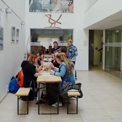 Crafts & workshopsÚĽUV Craft Centre Košice: craft workshops and folk-art shopBaška18 km from the centreÚĽUV (Ústredie ľudovej umeleckej výroby, the Centre for Folk Art Production) is a state institution that has looked after Slovak folk crafts since 1945: it keeps a...
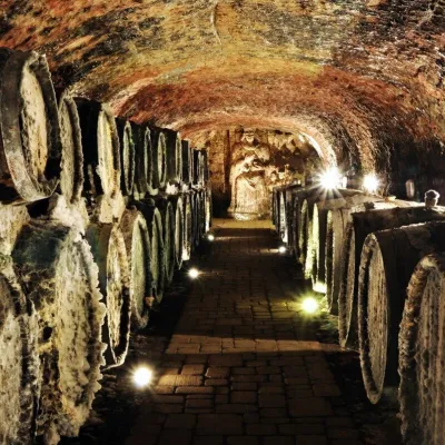 Wine & tastingsJ&J Ostrožovič Winery, Veľká Tŕňa: Tokaj tasting 13 m undergroundVeľká Tŕňa26 km from the centreFew people realise that Tokaj is not only a Hungarian wine. A small part of the historic Tokaj wine region lies in Slovakia: seven villages on the southern slopes of...
 Wine & tastingsTokaj Macik Winery, Malá Tŕňa: organic Tokaj and cellar tastingsVeľká Tŕňa27 km from the centreMalá Tŕňa is the heart of Slovak Tokaj: its Medzipivničná ("Between-the-Cellars") Street runs along the stone portals of old cellars.
Huts, shelters and springs nearby
Getting there from Ukraine
Border crossings
- Uzhhorod – Vyšné Nemecké — road, 24/7
- Malyi Bereznyi – Ubľa — road, 24/7 For cars and buses; pedestrians not confirmed by the Ukrainian border service, lorries up to 3.5 t.
- Mali Selmentsi – Veľké Slemence (pedestrian) — pedestrian, 09:00–21:00 Kyiv time Pedestrians and cyclists only; inconvenient for the Tatras without onward transport.
- Chop – Čierna nad Tisou (rail) — rail, 24/7
By car
From Uzhhorod ≈182 km, ≈2 h 45 min without queues: Uzhhorod – Vyšné Nemecké → I/19 via Sobrance and Michalovce to Košice → D1 motorway via Prešov to the exit near Levoča → road 533 to Spišská Nová Ves (≈177 km, ≈2 h 30 min from the border). From Lviv via Uzhok and Ubľa ≈407 km, ≈6 h 40 min; through Poland (Kraków – Nowy Targ) ≈496 km, ≈6 h 20 min. The D1 requires an e-vignette (eznamka.sk).
Checked 23.10.2026; border crossing hours and timetables change — check before you travel.
