Temnosmrečinské plesá
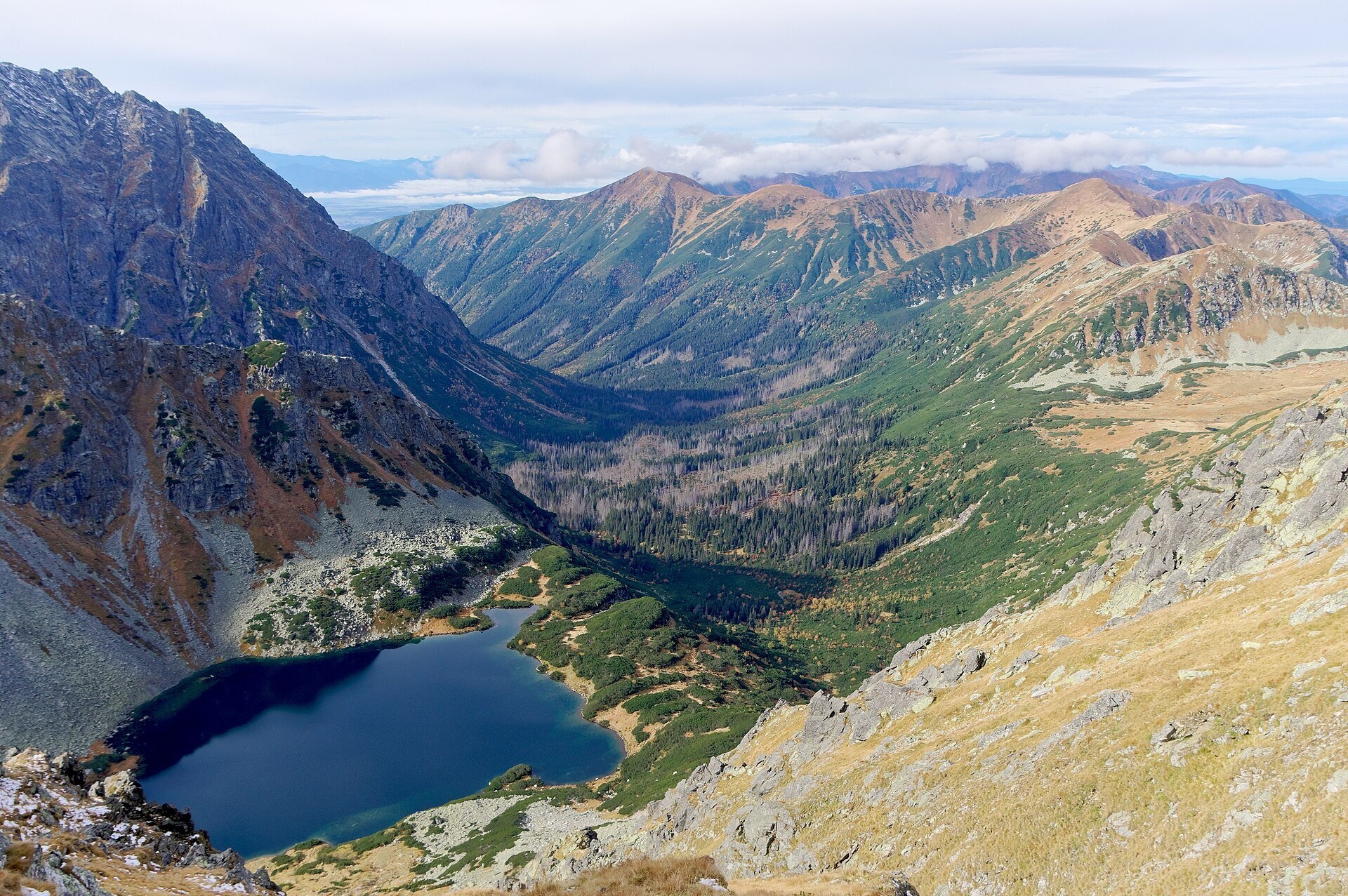
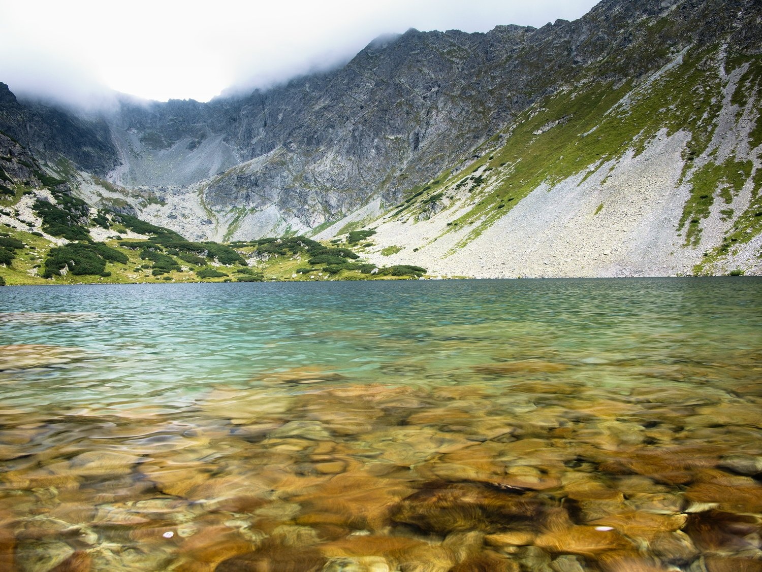
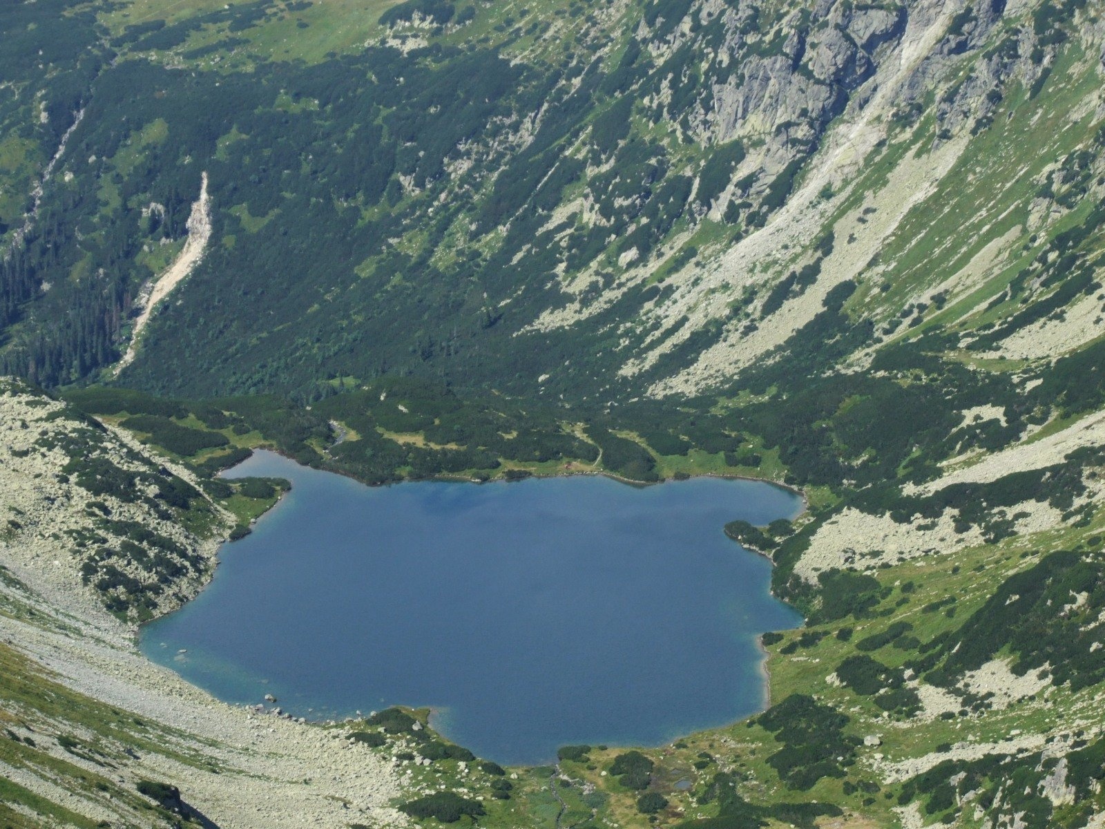
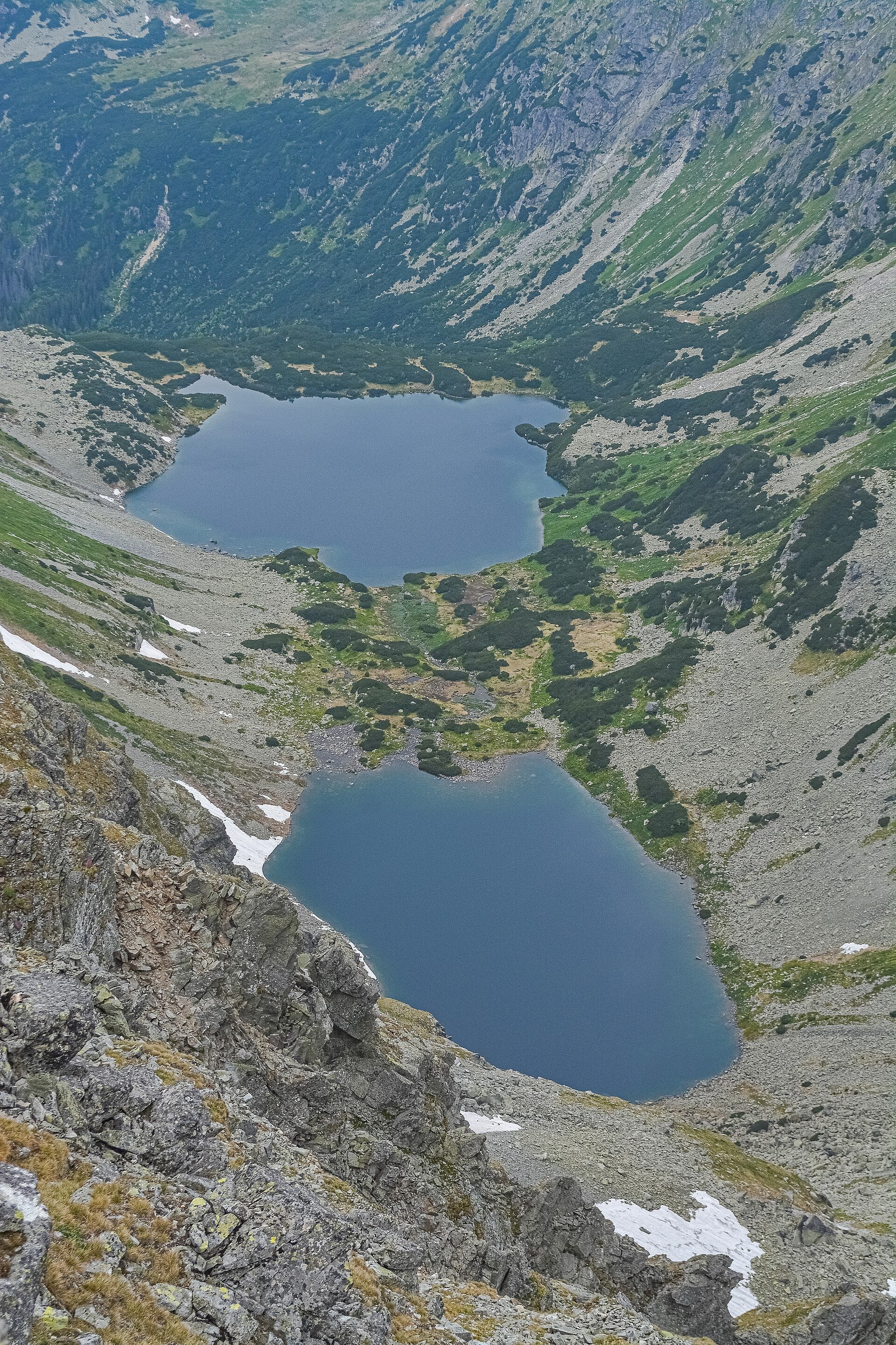
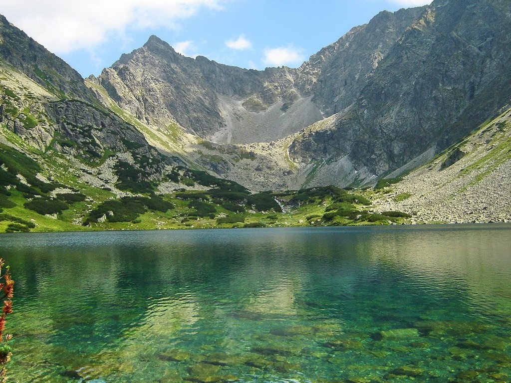
The Temnosmrečinské plesá (Polish: Ciemnosmreczyńskie Stawy) are two glacial lakes in Temnosmrečinská dolina, a right-hand branch of Kôprová dolina in the High Tatras, within the Tatra National Park (TANAP). Nižné Temnosmrečinské pleso lies at 1,674 m in a glacial cirque on the second level of the valley. It covers about 12 ha, measures 525 by 360 m, is 37.8 m deep and holds roughly 1.5 million m³: it is the third-largest and third-deepest tarn in Slovakia. The water is relatively murky – visibility is about 8.3 m – because of the large amount of plankton. On the southern shore there is a short but high moraine, through which the outflowing stream has cut a deep channel.
Higher up, beyond the next threshold, lies Vyšné Temnosmrečinské pleso (1,716 m; TANAP measured 5.5 ha and about 20 m depth) below the massifs of Cubrina and Kôprovský štít. The valley takes its name from the old, dense spruce forest of the Temné smrečiny, which looks dark. Old descriptions called the lower lake Pribylinské pleso, after the village of Pribylina that owned the land. Around 1750 Georg Pongrátz measured it – the first Tatra lake to be surveyed – and on 26 August 1751 Jakob Buchholtz, on behalf of an imperial commission, tested the legend that the tarn had tides and was connected to the sea, and proved that this was impossible.
What to see and do
- A big lake among the peaks – the red trail ends on the shore of the lower tarn, with a view into the cirque below the main Tatra ridge.
- Vajanského vodopád – on the way up, the trail passes about 150 m from this waterfall. It is about 30 m high: Temnosmrečinský potok drops from a threshold at 1,620 m. The Slovak name honours the writer Svetozár Hurban-Vajanský; in Polish it is Ciemnosmreczyńska Siklawa.
- A literary valley – before the Second World War Polish walkers often came here from the Liliowe pass via the Závory saddle; visitors included Tytus Chałubiński, Stanisław Witkiewicz, Kazimierz Tetmajer and Jarosław Iwaszkiewicz. In 1895 the Tatra Society built the tiny Watra shelter here, which burned down in 1924. Jan Kasprowicz dedicated his sonnet cycle "A Wild Rose Bush in Ciemne Smreczyny" to the area.
- Chamois – poachers from Podhale once considered the valley one of the main chamois refuges in the Tatras.
Getting there
The blue route Tri studničky, old forester's lodge – Popradské Pleso, stop runs through Kôprová dolina: from Tri studničky to the junction at the mouth of Hlinská dolina takes 3 h 15 min each way (from Podbanské to the Pod Grúnikom junction, 1 h). Then the green trail Sedlo Závory – Hlinská dolina, ústie reaches the junction below Temné smrečiny in 15 min, where the red trail branches off to Nižné Temnosmrečinské pleso – 1 h up, 45 min down. In total that is about 4.5 hours one way from Tri studničky, so the hike takes a full day; you return the same way. There are no huts in the valley. No marked trail leads to the upper tarn – it lies in a strictly protected zone and entry is forbidden.
Season and safety
The blue trail from Kmeťov vodopád through Kôprová dolina, the green trail to the Závory saddle and the red trail to Nižné Temnosmrečinské pleso are closed from 1 November to 31 May (§ 4 and Annex 3 of the TANAP Visitor Rules, Decree 26/2023), so the tarn can be visited from 1 June to 31 October. The outdated dates of 16 June – 31 October still found in some guides no longer apply. Dogs are not allowed on these trails (Annex 5). Entry to TANAP is free; walking is permitted only on marked trails and only in daylight, and the park administration asks visitors not to fly drones. In winter the road through Kôprová dolina is exposed to avalanches. Mountain Rescue Service HZS: 18 300, general emergency number: 112.
Nearby
- Kmeťov Waterfall in Kôprová Valley – in the same valley, by the blue trail.
- Kôprovský štít – the summit above the valley.
- Szpiglasowy Wierch – on the Polish side of the ridge, with a view down onto the tarn.
- Veľké Hincovo pleso – Slovakia's largest tarn, beyond Kôprovský štít.
Official website: tanap.sk
Photos: Jakub Hałun, CC BY-SA 4.0, Wikimedia Commons; Olgierd Rudak, CC BY 2.0, Wikimedia Commons; Jerzy Opioła, CC BY-SA 4.0, Wikimedia Commons; Midnight Runner, CC BY-SA 4.0, Wikimedia Commons; Slavo Haladej, Public domain, Wikimedia Commons.
Getting there from Ukraine
Border crossings
- Uzhhorod – Vyšné Nemecké — road, 24/7
- Malyi Bereznyi – Ubľa — road, 24/7 For cars and buses; pedestrians not confirmed by the Ukrainian border service, lorries up to 3.5 t.
- Mali Selmentsi – Veľké Slemence (pedestrian) — pedestrian, 09:00–21:00 Kyiv time Pedestrians and cyclists only; inconvenient for the Tatras without onward transport.
- Chop – Čierna nad Tisou (rail) — rail, 24/7
By car
Uzhhorod – Poprad ≈195 km, ≈2 h 55 min without queues: Uzhhorod – Vyšné Nemecké checkpoint → I/19 via Sobrance and Michalovce → Košice → D1 motorway via Prešov → Poprad (Liptovský Mikuláš is ≈56 km further on the D1, total ≈249 km). Košice – Poprad ≈112 km. The D1 requires an e-vignette (eznamka.sk). Note: from Lviv the fastest way to Poprad is through Poland — Krakovets – A4 – Kraków – Zakopane – Łysa Polana ≈468 km (≈5 h 50 min); via Uzhok and Malyi Bereznyi ≈419 km but slower (≈6 h 40 min). Zakopane – Poprad ≈69 km, Zakopane – Liptovský Mikuláš ≈80 km.
Checked 23.10.2026; border crossing hours and timetables change — check before you travel.
Location on the map
Comments
Trails nearby
All trails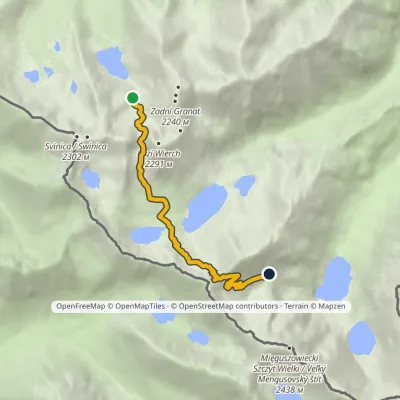 HardOne-dayMarkedZmarzły Staw Pod Mnichemvia Kozia Przełęcz, Szpiglasowa PrzełęczElevation profile1 711–2 113 m6.5 kmascent 682 m≈ 3 h walkingunder 1 km from Temnosmrečinské plesá
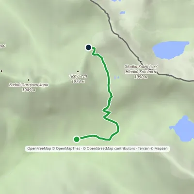 ModerateOne-dayMarkedSedlo Závory Hlinská dolina, ústieElevation profile1 425–1 878 m2.8 kmascent 453 m≈ 1.5 h walking1.1 km from Temnosmrečinské plesá
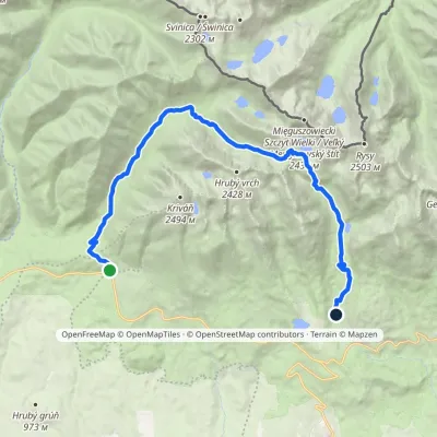 HardTwo-dayMarkedTri studničky, old forester's lodge Popradské Pleso, stopElevation profile1 105–2 142 m21.4 kmascent 1 142 m≈ 7.5 h walking1.2 km from Temnosmrečinské plesá
Nearby attractions
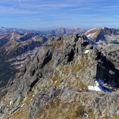 PeakSzpiglasowy Wierchaltitude 2 172 munder 1 km from Temnosmrečinské plesá1 trail to the topSzpiglasowy Wierch (Slovak: Hrubý štít) is a 2,172 m summit on the main ridge of the High Tatras, on the Polish–Slovak border.
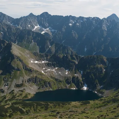 LakeCzarny Staw Polski1.3 km from Temnosmrečinské plesáCzarny Staw Polski (the Black Polish Pond), or simply Czarny Staw, is a glacial lake in the southern part of the Valley of the Five Polish Ponds in the High Tatras ...
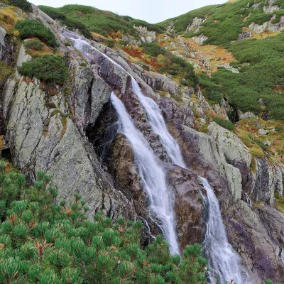 WaterfallWielka Siklawa Waterfall2.6 km from Temnosmrečinské plesáWielka Siklawa (also simply Siklawa) is Poland's highest waterfall. The Roztoka stream, flowing out of Wielki Staw Polski, drops here over the rock step between the...
Craft nearby
All craft places Cheese dairies & pasturesShepherd's Hut on Rusinowa PolanaBrzegi9 km from Temnosmrečinské plesáRusinowa Polana is one of the most beautiful mountain glades in the Polish Tatras, and from May to October it is home to the bacówka (shepherd's hut) of baca Stanisław...
 Cheese dairies & pasturesFurtek's Shepherd's Huts, Kuźnice and KalatówkiZakopane9.8 km from Temnosmrečinské plesáAbove Kuźnice — the southern edge of Zakopane where most hikes into the Western and High Tatras begin — the flocks are tended by baca Andrzej Staszel, nicknamed "Furtek".
 Koliby & Hutsul cuisineBąkowo Zohylina Wyźnio Highland TavernZakopane11 km from Temnosmrečinské plesáBąkowo Zohylina Wyźnio is a regional highland tavern in Zakopane housed in a wooden "szałas" (shepherd-hut-style building) with a view of the Tatras.
 Water parks & thermal poolsTermy Zakopiańskie (Aqua Park Zakopane)Zakopane12 km from Temnosmrečinské plesáTermy Zakopiańskie is a thermal water park right in Zakopane, on Jagiellońska Street, only a kilometre from Krupówki.
 Crafts & workshopsSztukomania Studio, Zakopane: handmade ceramics and pottery workshopsZakopane12 km from Temnosmrečinské plesáSztukomania is a small ceramics and woodwork studio on Staszica street in Zakopane, a few minutes' walk from Krupówki.
 Cheese dairies & pasturesDom Oscypka, Krupówki, Zakopane: cheese-making workshop with a bacaZakopane12 km from Temnosmrečinské plesáDom Oscypka ("House of Oscypek") is a workshop studio on Krupówki in the very centre of Zakopane, where you can see how highland cheese is made from milk and make some...
