Luh

Luh is a settlement in the Carpathian region of Ukraine. Location: Rakhiv district, Transcarpathian region. Worth seeing nearby: Geographical centre of Europe, Dilove — 9 km; Carpathian Biosphere Reserve — 11 km; Church of St. Nicholas the Wonderworker (top), Serednye Vodyane — 11 km. The nearest peaks: Mount Kobyla — 1 177 m; Mount Zherban — 1 795 m; Berlebashka Mountain — 1 734 m. Hiking trails close by: To Sokolyne Berdo; Dilove village, via Mount Pip Ivan Marmaroskyi, Mount Chyvchyn, Shybene village, Mount Pip Ivan Chornohirskyi and Mount Hoverla to Hoverla village. There are places to stay here and nearby, from guest houses to hotels.
Below: places to stay, sights, trails and peaks nearby, the weather and answers to frequent questions.
Comments
Travellers’ experience: reports, tips, questions.
No one has written here yet. Be the first — your experience helps others.
What's nearby
What to visit
Landmarks, museums and places of interest near Luh.
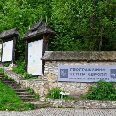 SightGeographical centre of Europe, DiloveDilove8.9 km from the centreIt is one of the main attractions of Transcarpathia, as the sign of the geographical center of Europe is installed in this place.
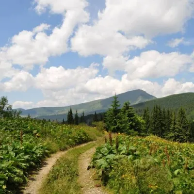 SightCarpathian Biosphere ReserveRakhiv11 km from the centreThere are many interesting places in Ukraine, but the Carpathian Biosphere Reserve, which is located in the heart of the Carpathians, is undoubtedly worthy of special...
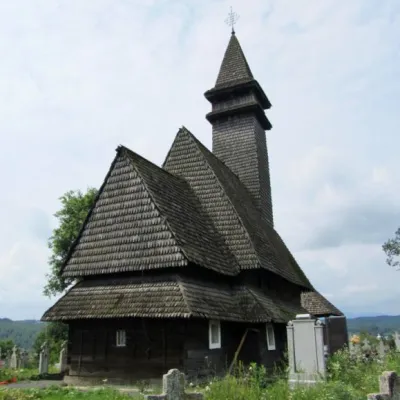 ChurchChurch of St. Nicholas the Wonderworker (top), Serednye VodyaneSerednie Vodiane11 km from the centreNicholas ("upper" or "upper") is a wooden church, a monument of folk architecture and monumental painting of the 15-18th centuries in the village of Serednie Vodyane,...
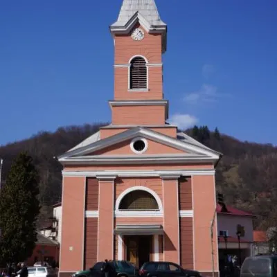 ArchitectureChurch of St. John Nepomuk, RakhivRakhiv15 km from the centreJohn Nepomuky is one of the main architectural monuments of the small town of Rakhiv, Transcarpathian region.
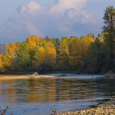 RiverTysa River (Tisza)Rakhiv16 km from the centreThe Tysa (Tisza) is the main river of Zakarpattia. It begins on the north-eastern edge of Rakhiv, where the Chorna Tysa and the Bila Tysa meet, and flows past Dilove,...
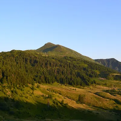 Mountain meadowPolonyna LysychaDilovealtitude 1 477 m19 km from the centreThe Lysycha valley is located on the Marmoroska ridge of the Carpathians. It is located in Rakhiv district of Zakarpattia region near the Ukrainian-Romanian border.
Craft nearby
All craft places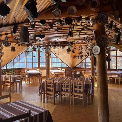 Koliby & Hutsul cuisineKolyba Museum, DiloveDilove9.7 km from the centreThe Kolyba Museum in Dilove is a timber restaurant serving Hutsul food right on the H09 highway, a few steps from the marker of the geographical centre of Europe in...
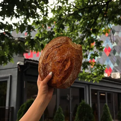 Craft producersDU-MEN craft bakery, RakhivRakhiv15 km from the centreDU-MEN (DU•MEN.craft bakery) is a craft bakery in Rakhiv which, in its own words, has been baking “bread with a history” for twelve years.
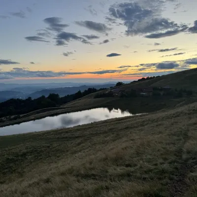 Cheese dairies & pasturesSheep's Cheese Masterclass on the Apetska Polonyna, VodytsiaVodytsia24 km from the centreThe Apetska polonyna is a broad high-mountain pasture on the southern slopes of the Svydovets range, below Mount Apetska (1,512 m).
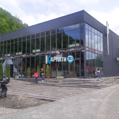 Craft beer & breweriesTsypa Brewery, KvasyKvasy27 km from the centreThe Tsypa Hutsul craft brewery in Kvasy is probably the best-known brewery in the Ukrainian Carpathians.
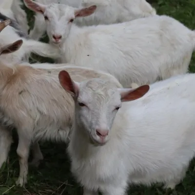 Eco farmsRozental Eco-Farm and Cheese Dairy, KvasyKvasy27 km from the centreBeer and cider are brewed here, sheep's-milk ice cream is made, and in the Vaskul area above the village sits the Rozental eco-farm and cheese dairy.
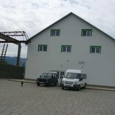 Craft producersProdukty Karpat meat producer, NeresnytsiaNeresnytsia28 km from the centreProdukty Karpat ("Carpathian Products") is a family farm and sausage maker in the village of Neresnytsia in the Tiachiv area, in the Teresva river valley.
Where to stay
Hotels, sadybas and cottages in and around Luh.
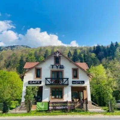 HotelTysRakhiv10 km from the centreBreakfastBBQParkingNearby: Polonyna Lysycha 9.8 kmMt Zherban 9.9 km37 trailsfrom 1 560 UAH per night
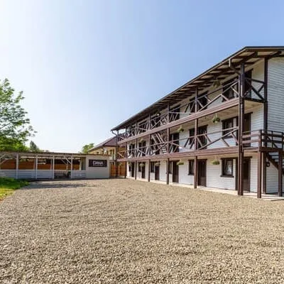 HotelDANASolotvyno11 km from the centreBBQParkingWi‑Fifrom 1 200 UAH per night
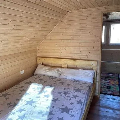 CottageZatyshokRakhiv12 km from the centreHot tubPoolBBQNearby: Church of St. John Nepomuk 3.9 kmMt Kobyla 6.5 km12 trailsfrom 7 200 UAH per night
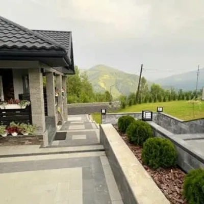 CottagePleshaRakhiv12 km from the centreHot tubPoolSaunaNearby: Church of St. John Nepomuk 3.4 kmMt Kobyla 6.0 km11 trailsfrom 13 800 UAH per night
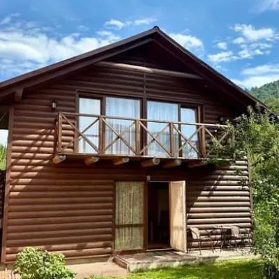 CottageBrendushkaRakhiv14 km from the centreSaunaBBQParkingNearby: Church of St. John Nepomuk 1.4 kmNyzhnyi Huk waterfall 8.2 km12 trailsfrom 1 700 UAH per night
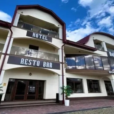 HotelHoli DaySolotvyno14 km from the centrePoolJacuzziBBQfrom 1 400 UAH per night
Trails nearby
All trails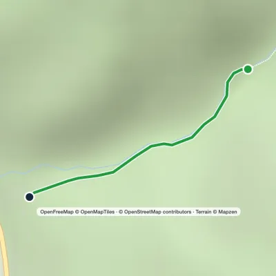 EasyOne-dayMarkedTo Sokolyne BerdoElevation profile331–674 m2.6 kmascent 344 m≈ 1 h walking4.1 km from the centre
 HardMulti-dayDilove village to Hoverla villagevia Mount Pip Ivan Marmaroskyi, Mount Chyvchyn +3Elevation profile342–2 061 m162.3 kmascent 5 951 m8.7 km from the centre
 Hard1–2 daysDilove village to Kostylivka villagevia Mount Pip Ivan MarmaroskyiElevation profile346–1 521 m37.9 kmascent 1 570 m≈ 12 h walking8.9 km from the centre
Peaks nearby
All peaks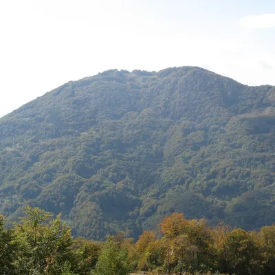 PeakMount KobylaKobyletska Polianaaltitude 1 177 m · Svydovets range9.1 km from the centreKobyla is a 1,177 m mountain in the Rakhiv district of Zakarpattia Oblast. At its foot lie the settlement of Kobyletska Poliana (to the north-west) and the village of...
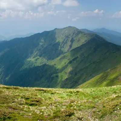 PeakMount ZherbanBohdanaltitude 1 795 m · Marmarosh range19 km from the centre10 trails to the topMount Zherban is a 1795-meter (according to other sources - 1793 m) peak of the Ukrainian Carpathians, which is located in the Hutsul Alps of the Marmara mountain range.
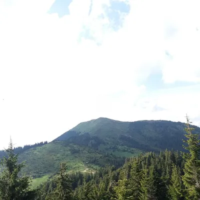 PeakBerlebashka MountainKostylivkaaltitude 1 734 m · Marmarosh range19 km from the centre25 trails to the topBerlebashka is a mountain in the Rakhiv Mountains (part of the Marmarosh Mountains). It is located in the south of Rakhiv district, Zakarpattia region, south of the...
