Latirka
What to visit
Landmarks, museums and places of interest near Latirka.
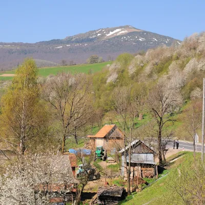 PeakMount Pikuialtitude 1 408 m · Watershed Ridge range6.8 km from the centrePikui is the highest peak of the Vododilnyi (Verkhovyna Watershed) Ridge of the Ukrainian Carpathians.
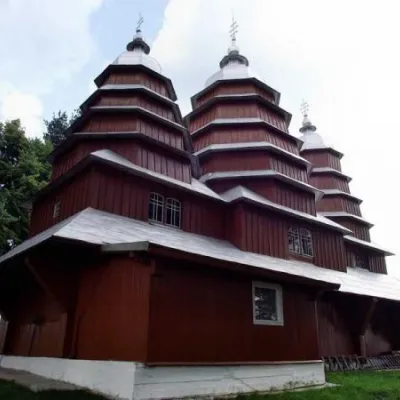 ChurchChurch of the Cathedral of the Blessed Virgin Mary, Matkiv8 km from the centreThe wooden church in the center of Matkovo is very difficult to miss. Situated on a low hill, the Church of the Cathedral of the Blessed Virgin Mary is the main...
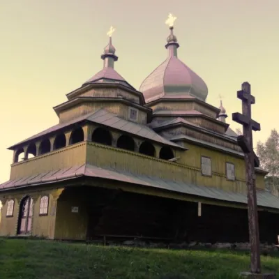 ChurchChurch of the Assumption, Tukholka14 km from the centreThe wooden church was built in 1858 (according to other sources in 1845) near the road to the village of Klymets, on a low ridge.
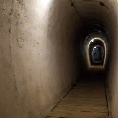 SightVerkhnya Hrabivnytsia, Arpad Line Bunker.15 km from the centreThe bunker in the village of Verkhnia Hrabivnytsia is one of the best preserved monuments of the Second World War on the so-called Arpad Line.
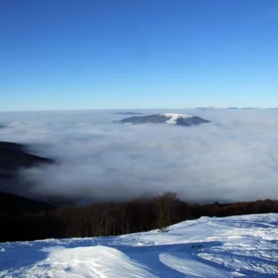 PeakBozeva Mountainaltitude 1 095 m16 km from the centre1 trail to the topIt is said that there was an observation post on the mountain, and the place is really suitable, because you can see everything from the top.
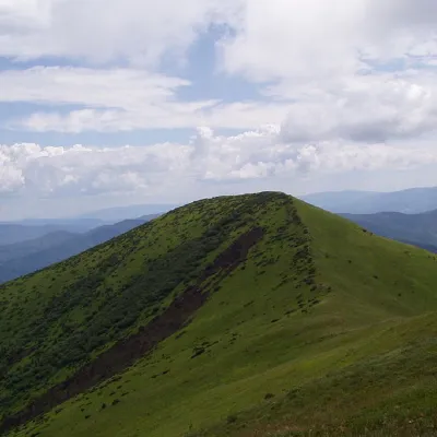 PeakOstra Goraaltitude 1 405 m16 km from the centre9 trails to the topOstra Hora is a 1405-meter peak in the Ukrainian Carpathians, located on the Polonyna ridge (northwestern part), northeast of Polonyna Runa and southwest of the...
Where to stay
Hotels, guesthouses and cottages in and around Latirka.
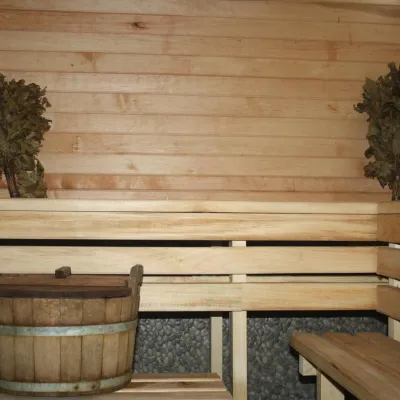 CottageHomestead "Lukacha" Zhdeniyevo11 km from the centreSaunaFireplaceKitchenNearby: Ostra Gora 5.6 kmVojvodyn waterfall 7.9 km7 trails
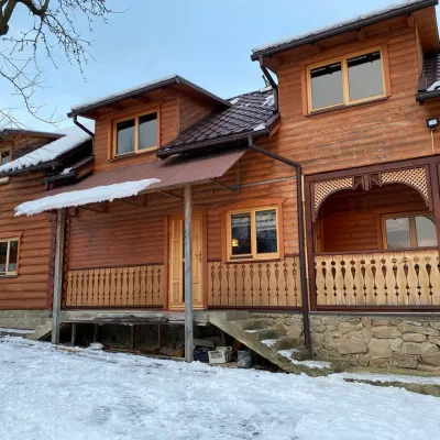 HomesteadVilla Uzh23 km from the centreThe cottage "Villa Uzh" is located amidst picturesque mountains in the village of Uzhok, 5 km from the Volosyanka-Zakarpatska railway station.Nearby: Church of St. Michael 500 m3 trails
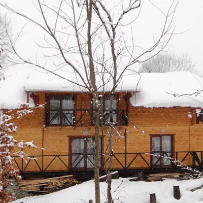 HomesteadHomestead "Dva Braty" Podobovets (sauna, tub)24 km from the centreHot tubSaunaBBQNearby: Shypit Waterfall 2.0 kmMt Gemba 4.5 km16 trails
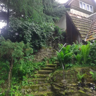 HomesteadHomestead "U Dyadi Vani" Vyshka30 km from the centrePoolSaunaBBQ
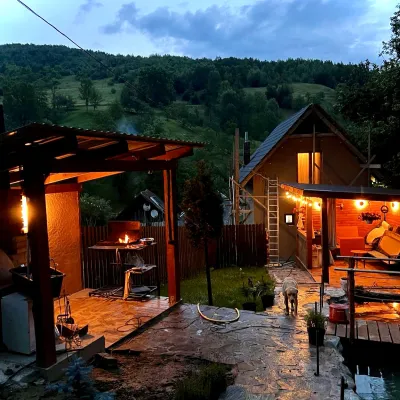 HomesteadPrivate Homestead "Forest House"31 km from the centreThe house is designed for 6 people. Additional places are available.Nearby: St. Michael's Church 7.9 km10 trails
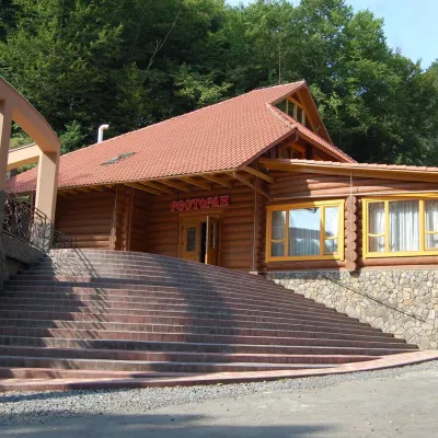 HotelHotel "Zatyshok" Nelypino32 km from the centreSaunaParkingWi‑FiNearby: St. Michael's Church 3.7 km2 trails
Trails nearby
 HardMulti-dayMarkedTranscarpathian Tourist TrailElevation profile198–2 031 m393.2 kmascent 30 283 munder 1 km from the centre
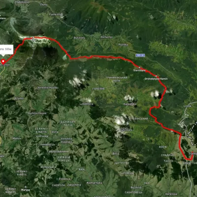 HardMulti-dayUnmarkedSianky village to Bilasovytsia villagevia the Verkhovyna Watershed ridge, Mount PikuiElevation profile558–1 388 m40.9 kmascent 1 396 m≈ 13 h walking2.8 km from the centre
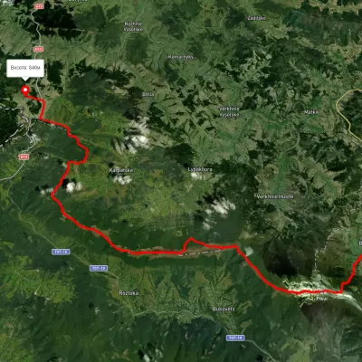 HardMulti-dayUnmarkedSianky village to Bilasovytsia villagevia Mount Drohobytskyi Kamin, the Ruska Put Pass +1Elevation profile556–1 384 m38 kmascent 1 666 m≈ 13 h walking2.8 km from the centre
Peaks nearby
PeakMount Pikuialtitude 1 408 m · Watershed Ridge range6.8 km from the centrePikui is the highest peak of the Vododilnyi (Verkhovyna Watershed) Ridge of the Ukrainian Carpathians.PeakBozeva Mountainaltitude 1 095 m16 km from the centre1 trail to the topIt is said that there was an observation post on the mountain, and the place is really suitable, because you can see everything from the top.PeakOstra Goraaltitude 1 405 m16 km from the centre9 trails to the topOstra Hora is a 1405-meter peak in the Ukrainian Carpathians, located on the Polonyna ridge (northwestern part), northeast of Polonyna Runa and southwest of the...