Latirka
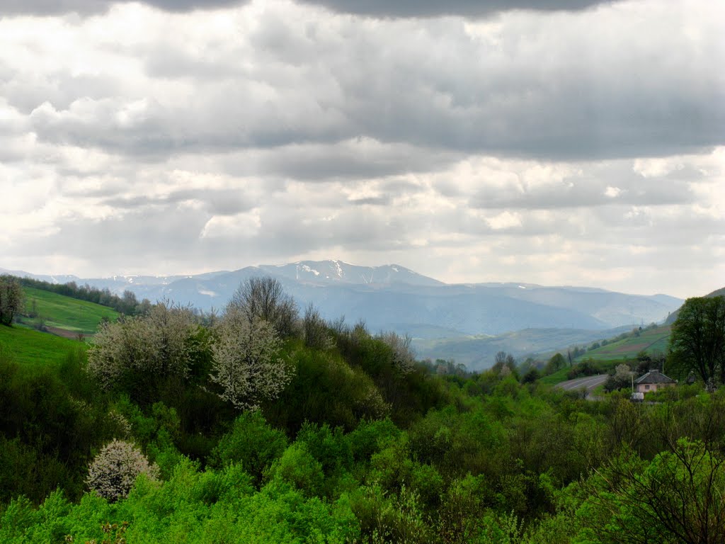
Latirka is a settlement in the Carpathian region of Ukraine. Location: Mukachevo district, Transcarpathian region. Worth seeing nearby: Bilasovytsi Cheese Dairy, Bilasovytsia — 2 km; Church of the Cathedral of the Blessed Virgin Mary, Matkiv — 8 km; Latorytsia — 18 km. The nearest peaks: Mount Pikui — 1 408 m; Mount Zelemenyi — 1 304 m; Mount Nondah — 1 303 m. Hiking trails close by: No. 14 Sianky – Mount Chorna Rypa; Transcarpathian Tourist Trail. There are places to stay here and nearby, from guest houses to hotels.
Below: places to stay, sights, trails and peaks nearby, the weather and answers to frequent questions.
Comments
Travellers’ experience: reports, tips, questions.
No one has written here yet. Be the first — your experience helps others.
What's nearby
What to visit
Landmarks, museums and places of interest near Latirka.
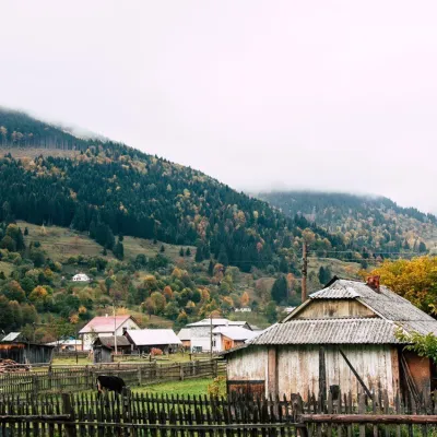 Cheese dairies & pasturesBilasovytsi Cheese Dairy, BilasovytsiaBilasovytsia2 km from the centreBilasovytsi Cheese Dairy is a small family dairy in the Transcarpathian village of Bilasovytsia, set at about 600 metres above sea level at the foot of Mount Pikui.
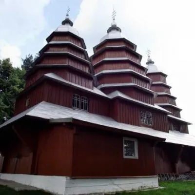 ChurchChurch of the Cathedral of the Blessed Virgin Mary, MatkivMatkiv8 km from the centreThe wooden church in the center of Matkovo is very difficult to miss. Situated on a low hill, the Church of the Cathedral of the Blessed Virgin Mary is the main...
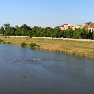 RiverLatorytsiaRoztoka18 km from the centreLatorytsia River - Latorytsia and its surroundings are a popular destination for eco-tourism. The river's flow through mountains and forests creates picturesque...
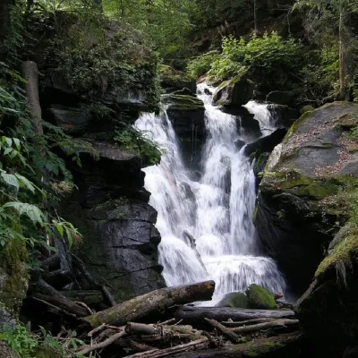 WaterfallVojvodyn waterfallPolianska Huta · Rivna Polonyna19 km from the centreheight 24 m862 m above sea levelThe Voyevodyn Waterfall is located on the stream of the same name near the village of Zhdeniyevo in Zakarpattia within the Sokolovi Skeli, an ornithological reserve of...
 NatureTysovets tractTysovets21 km from the centreAt first glance, the Tysovets tract looks like an ordinary plain surrounded by the Carpathian Mountains.
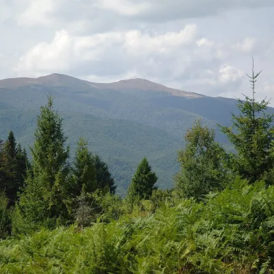 Mountain meadowPolonyna Rivna (Runa)Lumshoryaltitude 1 400 m22 km from the centrePolonyna Rivna, more often called Runa in Zakarpattia (in the local dialect "runa" means exactly "flat"), is a broad, gentle massif in the western part of the...
Craft nearby
All craft places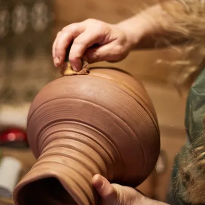 Crafts & workshops4 Seasons Pottery Studio and Horse Riding, SlavskeSlavske24 km from the centreThe 4 Seasons cottage complex in Slavske is known not only for its wooden chalets but also for two activities that turn an ordinary mountain break into something...
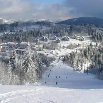
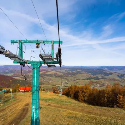 Adventures & attractionsPylypets Sky & Bike Park: chairlift and bike park, PylypetsPylypets25 km from the centrePylypets Sky & Bike Park is a chairlift and bike park in the Zakarpattia village of Pylypets, one of the region’s best-loved ski resorts.
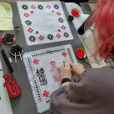 Crafts & workshopsBoyko Woodblock Fabric Printing Workshop, SlavskeSlavske26 km from the centreThe Boyko woodblock fabric printing workshop is run by craftswoman Natalia Horbonos-Akastiolova at the Centre of Boyko Culture in the Karpaty.Slavsko hotel.
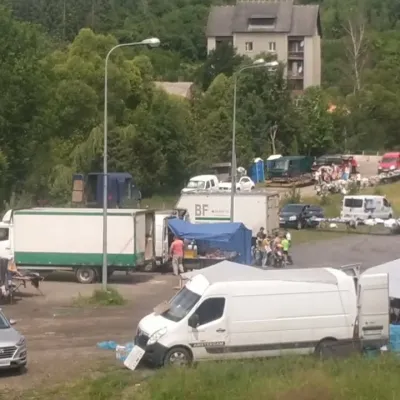 Markets & fairsFriday Market, SlavskeSlavske26 km from the centreThe Friday market in Slavske is a real mountain bazaar of the Boyko region, where sellers and shoppers from the surrounding villages of the Skole Beskids gather every...
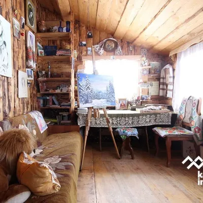 Crafts & workshopsViktoria Art Gallery, SlavskeSlavske26 km from the centreThe Viktoria Art Gallery in Slavske is a small family gallery and studio where art lives not behind glass but in the homely atmosphere of a wooden house.
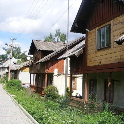 Ethno tours & guidesBarvy Karpat Excursions, SlavskeSlavske27 km from the centreBarvy Karpat («Colours of the Carpathians») is a small local excursion organiser based in Slavske, one of the best-known resorts of the Skole Beskids.
Where to stay
Hotels, sadybas and cottages in and around Latirka.
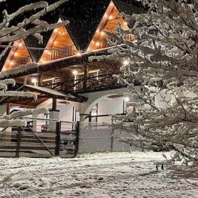 CottagePikuy (Cottage)Volovets2.1 km from the centreHot tubPoolBBQNearby: Mt Pikui 4.8 kmMt Zelemenyi 6.7 km9 trailsfrom 1 790 UAH per night
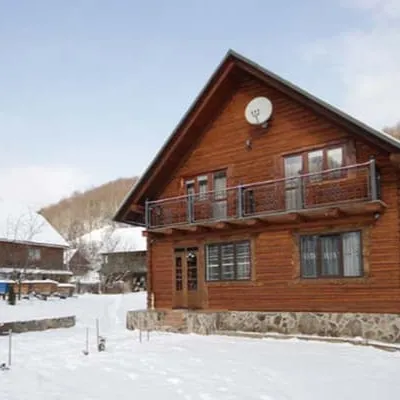 HotelPid PikuyemVolovets3.5 km from the centreHot tubPoolBBQNearby: Mt Pikui 3.3 kmMt Zelemenyi 5.3 km10 trailsfrom 6 000 UAH per night
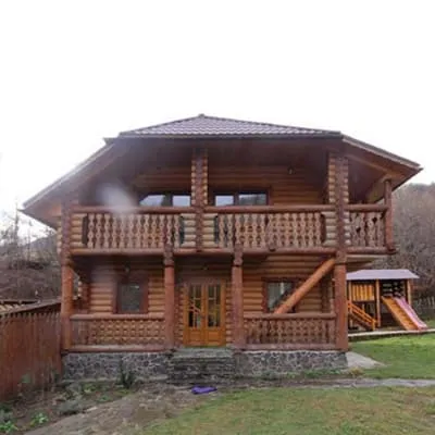 HotelPustoshakVolovets4.2 km from the centreHot tubSaunaBBQNearby: Mt Pikui 2.6 kmMt Zelemenyi 4.5 km10 trailsfrom 1 760 UAH per night
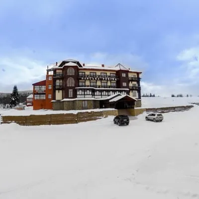 HotelPanska RovynTurka8 km from the centreSaunaBBQParkingfrom 1 800 UAH per night
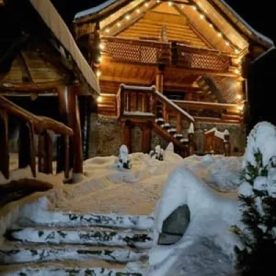 CottageShepit LisuVolovets10 km from the centreHot tubPoolSaunaNearby: Bozeva Mountain 5.7 kmHoly Ascension Church 9.4 km1 trailfrom 6 000 UAH per night
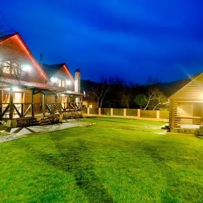 HotelPIKUYZhdenievo11 km from the centreHot tubSaunaBBQNearby: Mt Pikui 4.3 kmVojvodyn waterfall 8.6 km8 trailsfrom 1 900 UAH per night
Trails nearby
All trails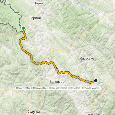 HardMulti-dayMarkedNo. 14 Sianky Mount Chorna RypaElevation profile536–1 408 m85 kmascent 3 601 m1.1 km from the centre
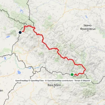 HardMulti-dayMarkedTranscarpathian Tourist TrailElevation profile202–2 061 m393.2 kmascent 17 790 m1.1 km from the centre
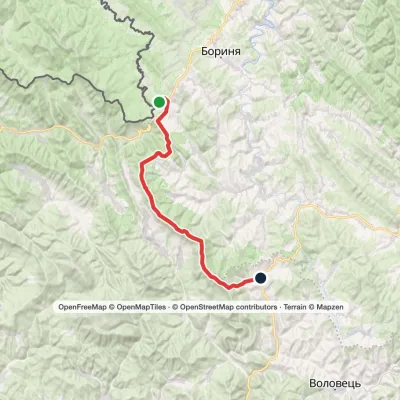 Hard1–2 daysMarkedSianky village to Bilasovytsia villagevia the Verkhovyna Watershed ridge, Mount PikuiElevation profile557–1 408 m40.9 kmascent 1 421 m≈ 12.5 h walking2 km from the centre
Peaks nearby
All peaks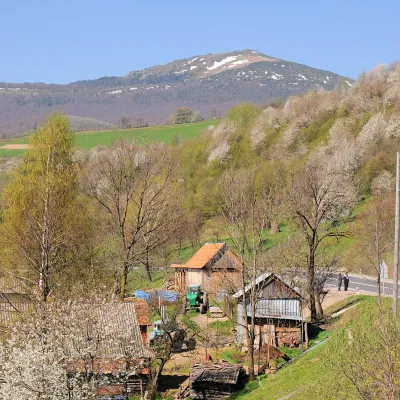 PeakMount PikuiShcherbovetsaltitude 1 408 m · Watershed Ridge range6.8 km from the centre2 trails to the topPikui is the highest peak of the Vododilnyi (Verkhovyna Watershed) Ridge of the Ukrainian Carpathians.
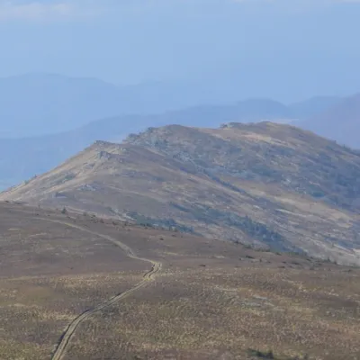 PeakMount ZelemenyiShcherbovetsaltitude 1 304 m · Watershed Ridge range8.4 km from the centre1 trail to the topZelemenyi is a 1,304 m summit on the Vododilnyi (Verkhovyna Watershed) Ridge of the Ukrainian Carpathians.
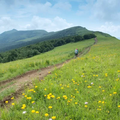 PeakMount NondahPerekhresnyialtitude 1 303 m · Watershed Ridge range9.1 km from the centre1 trail to the topNondah is a 1,303 m summit on the Vododilnyi (Verkhovyna Watershed) Ridge, on the border of Lviv and Zakarpattia oblasts.
