Peaks
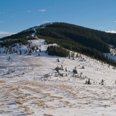
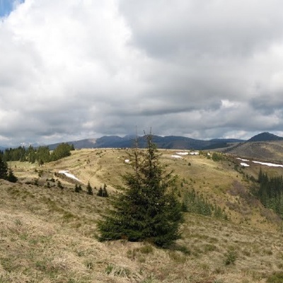
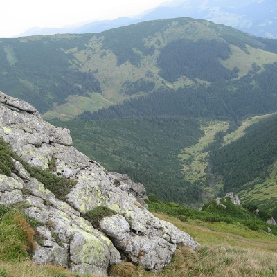
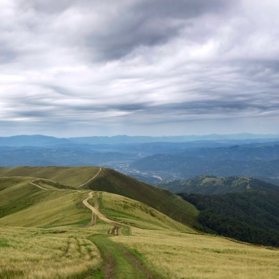
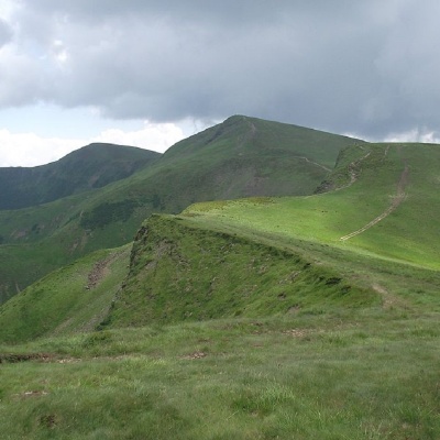
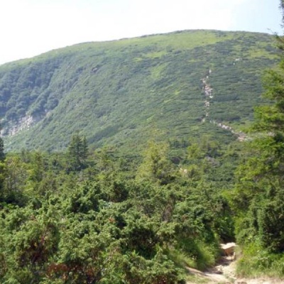
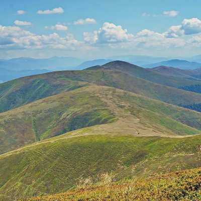
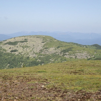
Mount Skupova
Tourist route to Skupova mountain, Ivano-Frankivsk region, Ukraine. Переглянути на карті
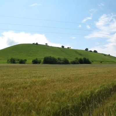
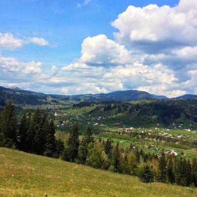
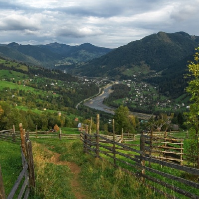
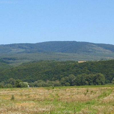
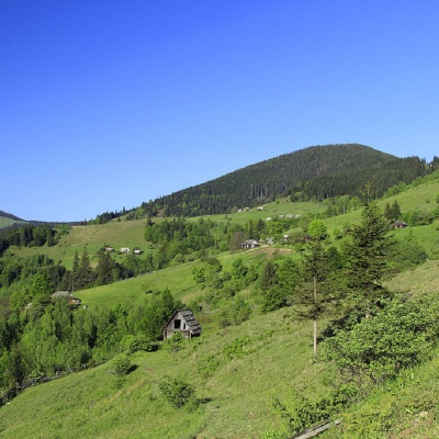
Devil's Mountain, Rohatyn
Pukiv, Ivano-Frankivsk region, Ukraine. Переглянути на карті
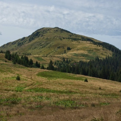
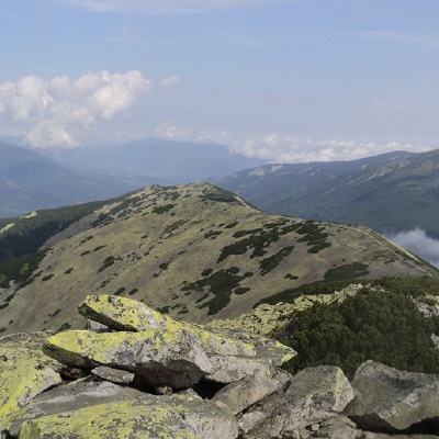
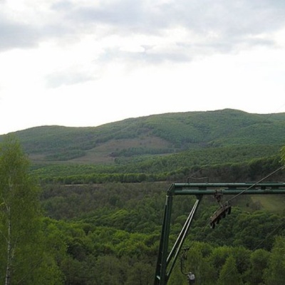
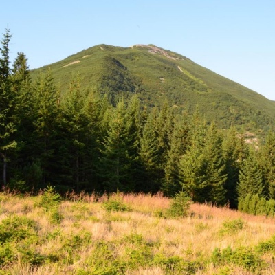
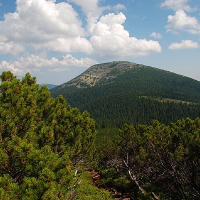
Staika Mountain
Hiking route to Mount Staiki, Ivano-Frankivsk region, Ukraine. Переглянути на карті
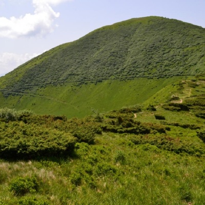
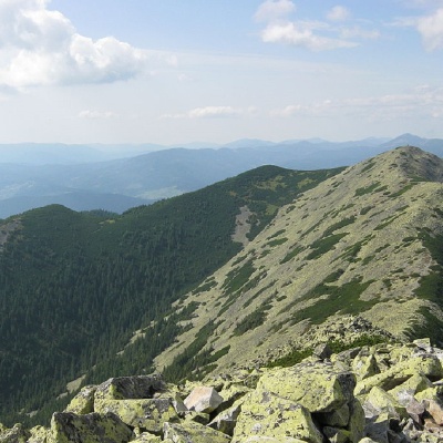
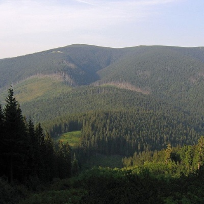
Mount Kernychny
Zelene, Ivano-Frankivsk region, Ukraine. Переглянути на карті
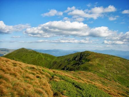
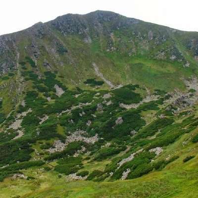
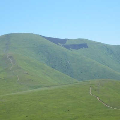
Mount Kopylash
Hiking route to Mount Kopylash, Ivano-Frankivsk region, Ukraine. Переглянути на карті
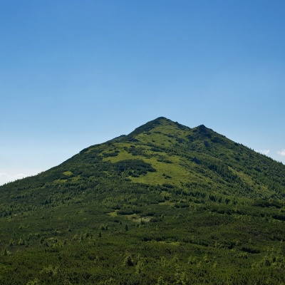
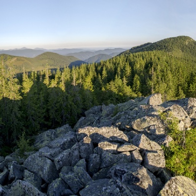
Mount Chivchyn
Hiking route to Mount Chivchyn, Ivano-Frankivsk region, Ukraine. Переглянути на карті
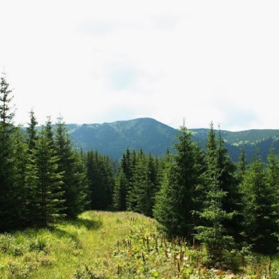
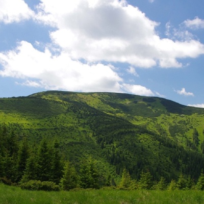
Mount Rozticka
Zelene, Ivano-Frankivsk region, Ukraine. Переглянути на карті
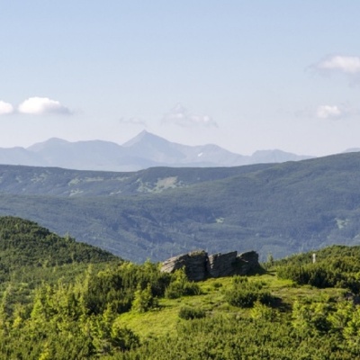
Mount Sheshul
Hiking route to Mount Sheshul, Transcarpathian region, Ukraine. Переглянути на карті
Mount Shurin
Hiking route to Mount Shuryn, Ivano-Frankivsk region, Ukraine. Переглянути на карті
Hnatasya Mountain
Hiking route to Mount Hnatasya, Ivano-Frankivsk region, Ukraine. Переглянути на карті
Mount Regeska
Hiking route to Regeska mountain, Ivano-Frankivsk region, Ukraine. Переглянути на карті
Mount Shchavnyk
Yavirnyk, Ivano-Frankivsk region, Ukraine. Переглянути на карті
Mount Apetska
Aretyova, Zakarpattia region, Ukraine. Переглянути на карті
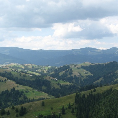
Mount Antalovetska Polyana
Hiking route to Antalovetska Polyana, Transcarpathian region, Ukraine. Переглянути на карті
White Horse Mountain
Hiking route to Bila Kobyla mountain, Ivano-Frankivsk region, Ukraine, 78701. Переглянути на карті
Mount Bert
Hiking route to Mount Bert, Transcarpathian region, Ukraine. Переглянути на карті
Mount Bliznytsia
Hiking route to Mount Blyznytsia, Transcarpathian region, Ukraine. Переглянути на карті
Mount Borevka
Hiking route to Mount Borevka, Ivano-Frankivsk region, Ukraine. Переглянути на карті
Mount Brebeneskul
Hiking route to Mount Brebeneskul, Ivano-Frankivsk region, Ukraine, Ukraine. Переглянути на карті
Mount Bratkivska
Hiking route to Mount Bratkivska, Ivano-Frankivsk region, Ukraine. Переглянути на карті
Mount Bushtul
Hiking route to Mount Bushtul, Transcarpathian region, Ukraine. Переглянути на карті
Buzhora Mountain
Osiy, Irshava district, Zakarpattia region, Ukraine. Переглянути на карті
Mount Vedmezhik
Hiking route to Mount Vedmezhyk, Ivano-Frankivsk region, Ukraine. Переглянути на карті
Mount Veliky Verkh
Hiking route to Mount Velykyi Verkh, Zakarpattia region, Ukraine. Переглянути на карті
Mount Gemba
Tourist route to Hemba mountain, Transcarpathian region, Ukraine. Переглянути на карті
Gora Vysoka
Hiking route to Mount Vysoka, Ivano-Frankivsk region, Ukraine. Переглянути на карті
Mount Gregit
Hiking route to Gregit mountain, Ivano-Frankivsk region, Ukraine. Переглянути на карті
Mount Gorgan-Ilemsky
Hiking route to Gorgan-Ilemsky mountain, Ivano-Frankivsk region, Ukraine. Переглянути на карті
Mount Grope
Hiking route to Mount Gropa, Transcarpathian region, Ukraine. Переглянути на карті
Mount Grofa
Osmoloda, Ivano-Frankivsk region, Ukraine. Переглянути на карті
The Ukrainian Carpathians are divided as follows:
- Eastern Beskydy (Volovets, Dolyna, Drohobych, Skole, Starosambir and Turka districts)
- Upper Dniester Beskydy (Drohobych, Starosambir and Turka districts)
- Skole Beskydy (Dolyna and Skole districts)
- External (Skiba) Gorgany (Dolyna, Rozhnyativ and Tyachiv districts)
- Watershed-Verkhovyna Carpathians (Transcarpathia, Lviv, Ivano-Frankivsk and Bukovyna)
- Stryi-Syanska upland (Skole and Turka districts)
- Verkhovyna watershed range (Velykyi Bereznyi, Volovets, Skole and Turka districts)
- Inner (Subwatershed) Gorgany (Bohorodchany, Nadvirna, Rozhnyativ, Tyachiv districts and the territory of Yaremche City Council)
- Volovets-Mizhhiria Upland (Volovets and Mizhhiria districts): Mizhhirya Basin (Mizhhirya district)
- Middle Carpathian Basin (Nadvirna and Rakhiv districts and the territory of Yaremche City Council): Yasinia Basin (Rakhiv district)
- Vorokhta-Putyla lowlands (Verkhovyna, Rakhiv, Putyla districts and the territory of Yaremche city council)
- Polonyna ranges (Velykyi Bereznyi, Volovets, Irshava, Mizhhirya, Perechyn, Rakhiv, Svalyava, Tyachiv and Khust districts): Polonyna (Runa) Rivna (Velyky Berezny and Perechyn districts), Polonyna Borzhava (Volovets, Irshava, Mizhhirya, Svalyava and Khust districts), Krasna Ridge (Tyachiv and Verkhovyna districts)
- Svydovets (Rakhiv and Tyachiv districts)
- Chornohora (Verkhovyna and Rakhiv districts)
- Hryniava (Verkhovyna district)
- Yalovychorskie mountains (Putyla district)
- Berezne-Lipshanska Valley (Velykyi Bereznyi and Perechyn districts): Svalyava Basin (Svalyava district);
- Vyhorlat (Perechyn and Uzhhorod districts);
- Makovytsia massif (Mukachevo and Uzhhorod districts);
- Syniak massif (Mukachevo and Svalyava districts);
- Velyky Dil (Irshava and Svalyava districts);
- Tupy massif (Irshava and Khust districts);
- Hutyn massif (Vynogradiv and Khust districts);
- Khust-Solotvyno Basin (Tyachiv and Khust districts).
- Hutsul Alps or Rakhiv Mountains (Rakhiv district);
- Chyvchyny (Verkhovyna district).