Liptovská Osada
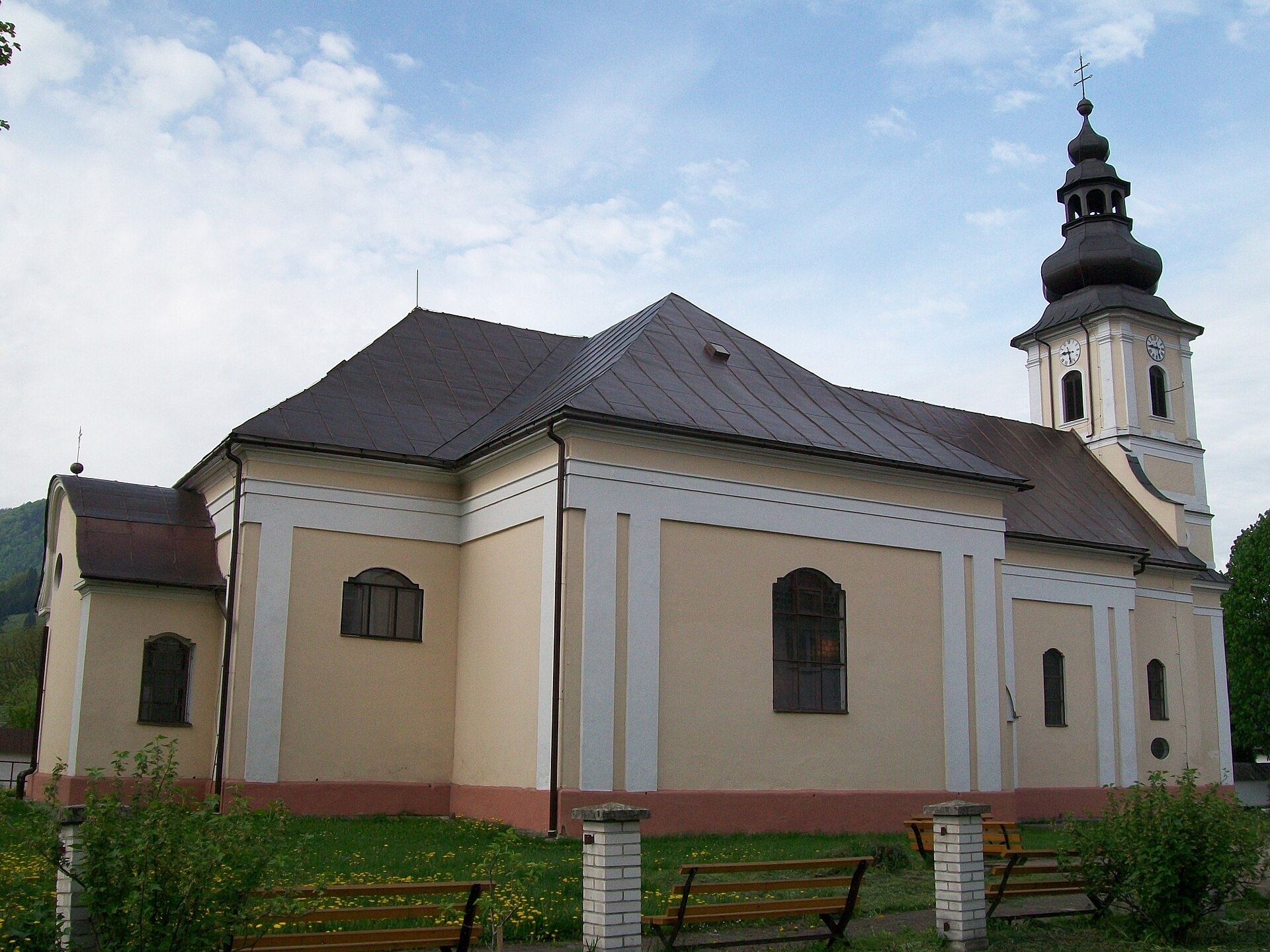
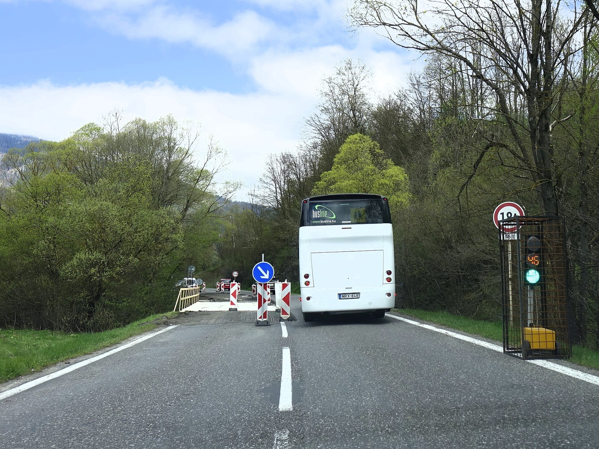
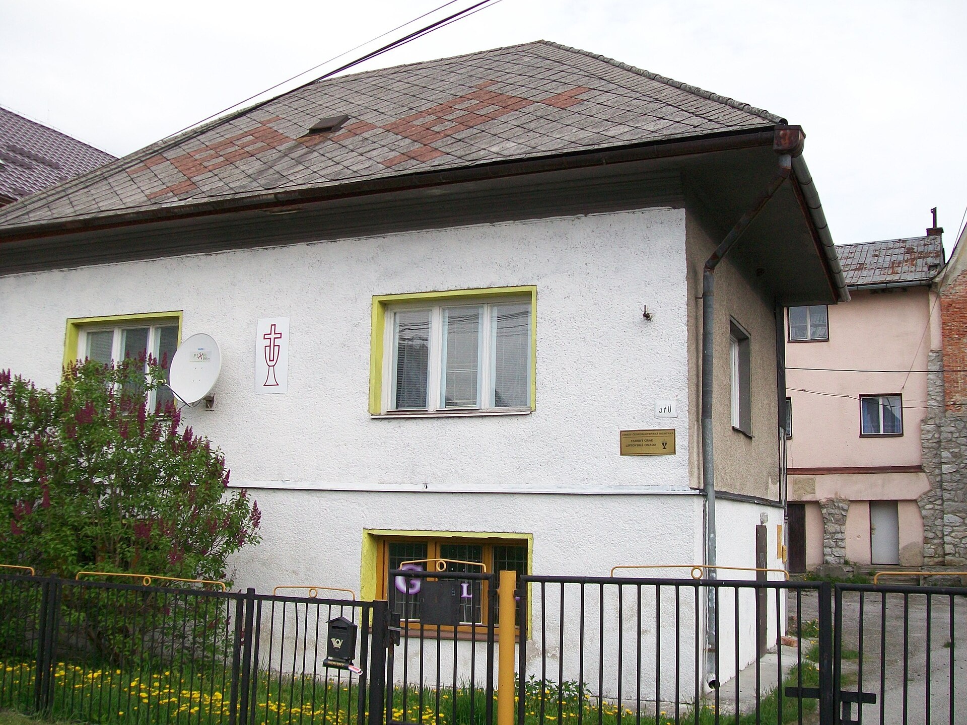
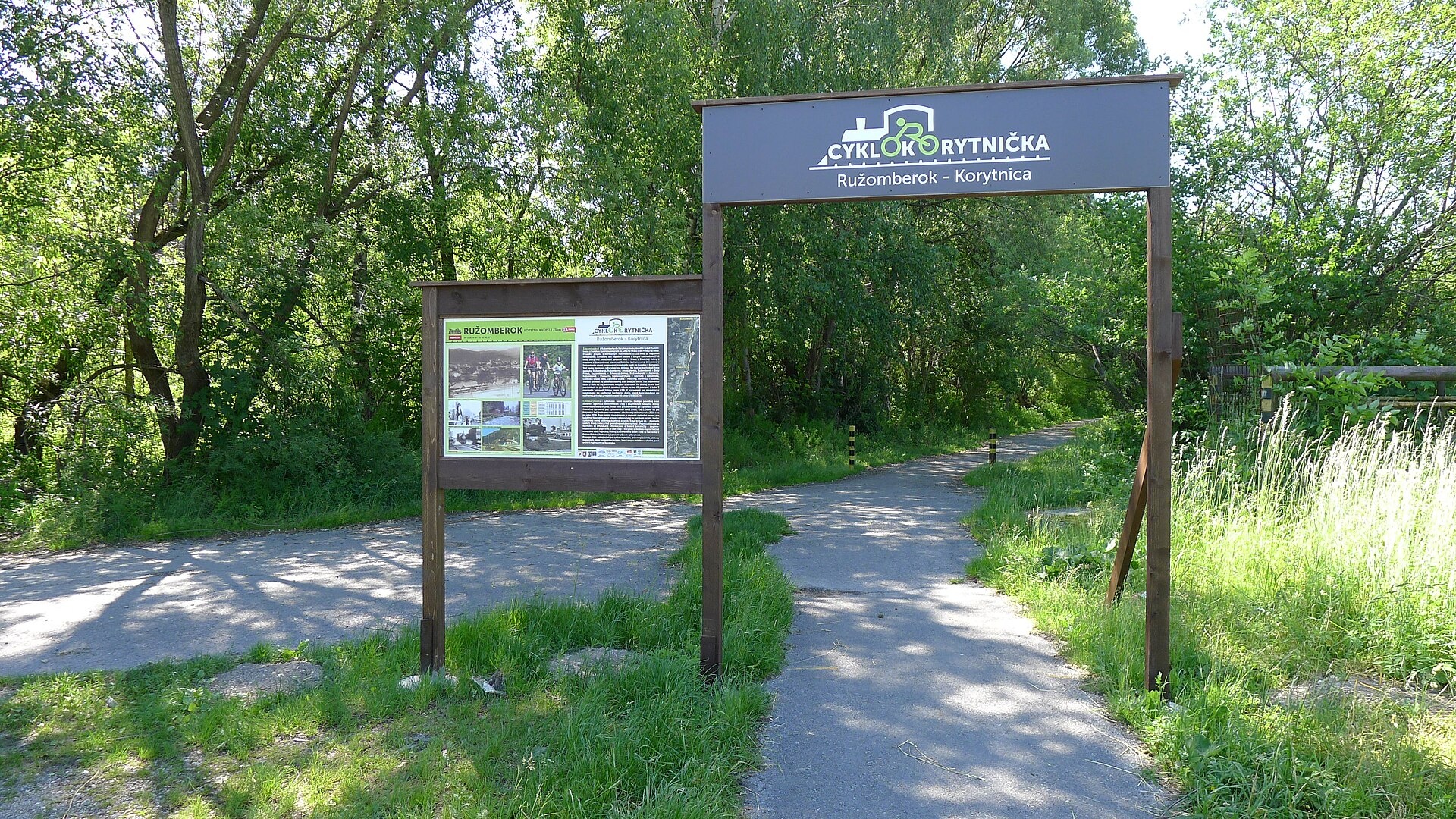
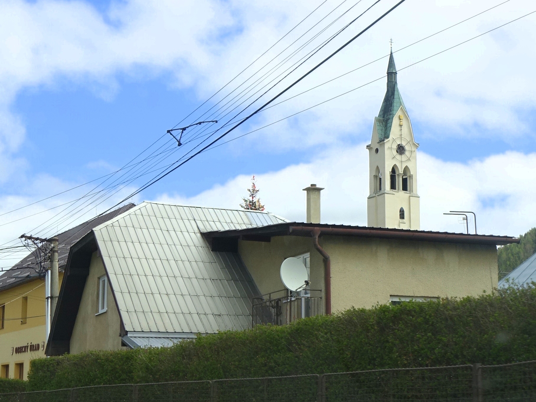
Photos: Ladislav Luppa, CC BY-SA 3.0 (Wikimedia Commons); Ing. Mgr. Jozef Kotulič, CC BY-SA 4.0 (Wikimedia Commons); Ladislav Luppa, CC BY-SA 3.0 (Wikimedia Commons); RenQoo, CC BY-SA 4.0 (Wikimedia Commons); Ing. Mgr. Jozef Kotulič, CC BY-SA 4.0 (Wikimedia Commons); Ing.Mgr.Jozef Kotulič, CC BY-SA 3.0 (Wikimedia Commons)
Liptovská Osada is a village and municipality in the Ružomberok District, Žilina region, Slovakia. It lies at an elevation of 609 m in a scenic valley between the Low Tatras and Great Fatra mountain ranges. The Koritnica and Lúžňanka rivers flow through the village, and the European route E77 passes nearby. The municipality covers an area of 50.2 km².
The first historical mention of Liptovská Osada dates back to 1649. Over the centuries, the village developed as part of the historic Liptov region, preserving its unique character and traditions.
The area is known for its natural beauty: the surroundings are rich in forests, mountain ridges, and alpine meadows. Notable nearby attractions include Ploská and Borišov — meadows and a hut in the heart of Great Fatra, Brankovský Waterfall — the highest in the Low Tatras, as well as the open ridges of the western Low Tatras and the grassy ridge of Rakytov in Great Fatra.
Liptovská Osada is a convenient starting point for hiking and mountain adventures. Numerous marked trails pass through the area, such as Ludrová – crossroads above Ďurková saddle, Sedlo Zamostská hoľa – Magurka, Vyšná Revúca – Ploská. Mountain huts in the vicinity include Smrekovica Hut (1,322 m and 1,354 m), Limba Hut under Rakytov, Janošička Hut, and the Hut under Borišov. The peaks Ploská and Latiborská hoľa are also nearby.
Getting there from Ukraine
From Uzhhorod ≈275 km, ≈3 h 35 min without queues: Uzhhorod – Vyšné Nemecké → I/19 to Košice → D1 motorway via Prešov, Poprad and Liptovský Mikuláš to Ružomberok (≈270 km, ≈3 h 25 min from the border). From Lviv it is faster through Poland: M-10 → Krakovets – Korczowa → A4 to Kraków → S7/DK7 to the Chyżne – Trstená border → R3 and I/59 via Dolný Kubín to Ružomberok: ≈482 km, ≈6 h 15 min (via Uzhok and Ubľa ≈500 km, ≈7 h 30 min). The D1 requires an e-vignette (eznamka.sk).
Sources: Wikipedia, Wikidata, OpenStreetMap, Karpaty.rocks data. More on Wikipedia
What's nearby
Trails nearby
All trails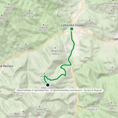 ModerateOne-dayMarkedLiptovská Osada Malý ZvolenElevation profile605–1 372 m8.3 kmascent 774 m≈ 3.5 h walkingunder 1 km from the centre
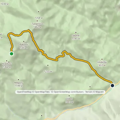 EasyOne-dayMarkedHájovňa pred Teplou dolinou Južné Rakytovské sedloElevation profile637–1 406 m7.9 kmascent 108 m≈ 2 h walking2.2 km from the centre
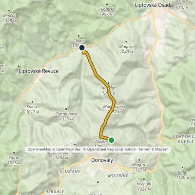 EasyOne-dayMarkedNižná Revúca ZvolenElevation profile654–1 402 m6.3 kmascent 112 m≈ 2 h walking4.3 km from the centre
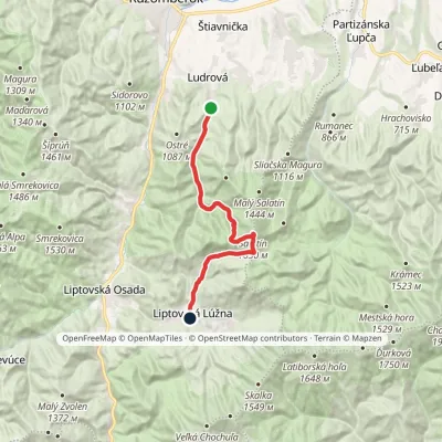 ModerateTwo-dayMarkedLudrová Liptovská LúžnaElevation profile587–1 618 m16.8 kmascent 1 061 m≈ 6.5 h walking4.3 km from the centre
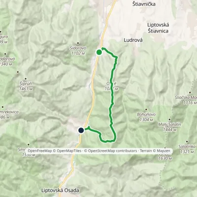 ModerateOne-dayMarkedBiely Potok PodsucháElevation profile515–1 174 m11.4 kmascent 907 m≈ 4.5 h walking4.6 km from the centre
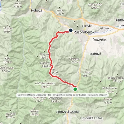 ModerateTwo-dayMarkedPodsuchá Nová ČernováElevation profile471–1 379 m19.1 kmascent 884 m≈ 6.5 h walking4.7 km from the centre
Peaks nearby
All peaks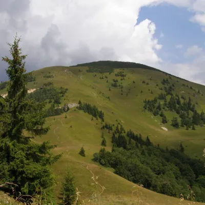 PeakRakytovLiptovské Revúcealtitude 1 567 m6.1 km from the centreRakytov is a 1,567 m mountain in the Greater Fatra (Veľká Fatra) in Slovakia and the highest summit of the so-called Liptov branch of the main ridge, part of the Hôľna...
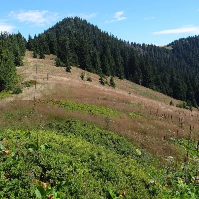 PeakŠiprúňRužomberokaltitude 1 461 m8.4 km from the centreŠiprúň is a high, prominent mountain 1461 m tall in the north-eastern part of the Greater Fatra (Veľká Fatra) in Slovakia.
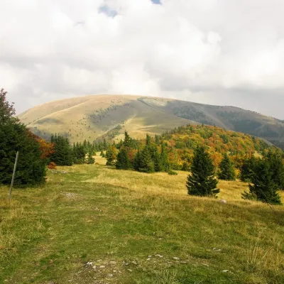 PeakPloskáLiptovské Revúcealtitude 1 532 m11 km from the centre1 trail to the topPloská is a 1,532 m summit on the main ridge of the Greater Fatra (Veľká Fatra) in Slovakia and one of the highest peaks of the range.
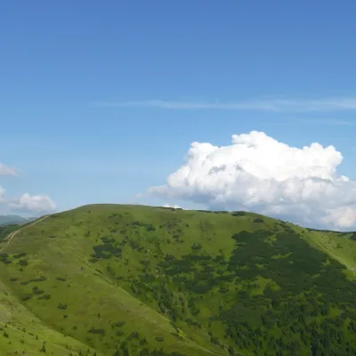 PeakLatiborská hoľaLiptovská Lúžnaaltitude 1 648 m11 km from the centreLatiborská hoľa is a broad, treeless summit 1648 m high on the main ridge of the Low Tatras, in the western part of the Ďumbier Tatras, Slovakia.
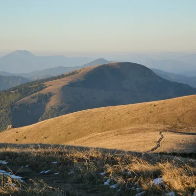 PeakBorišovLiptovské Revúcealtitude 1 510 m13 km from the centreBorišov is a 1,510 m summit in the central part of the Greater Fatra (Veľká Fatra) in Slovakia, in its highest section, the Hôľna Fatra.
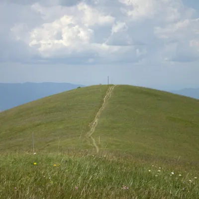 PeakOstredokTureckáaltitude 1 596 m14 km from the centre1 trail to the topOstredok is the highest peak of the Greater Fatra (Veľká Fatra) at 1,596 m. It lies in the central part of the range, in the Hôľna Fatra, above the village of...
What to visit
All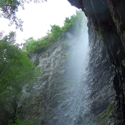 WaterfallBrankovský waterfall — the highest in the Low TatrasLiptovská Osada5.1 km from the centreThe Brankovský waterfall (Brankovský vodopád) is the highest waterfall in the Low Tatras: the water drops 55 m.
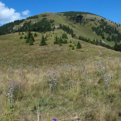 Mountain meadowThe hole of Rakytov – the grassy Liptov ridge of Veľká FatraLiptovské Revúcealtitude 1 567 m6.1 km from the centreRakytov (1,567 m) is the highest summit of the Liptov branch of the main ridge of Veľká Fatra in Slovakia, in the Hôľna Fatra subunit, whose name comes from "hole" –...
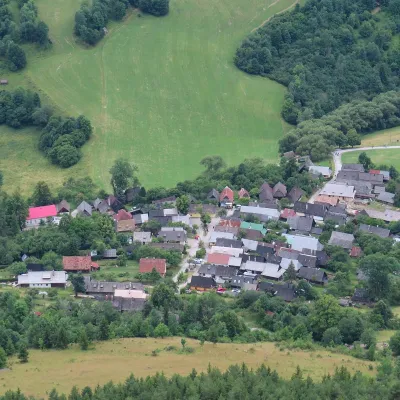 Historic siteVlkolínecRužomberok9.9 km from the centreVlkolínec is a mountain settlement on the slopes of the Veľká Fatra below Sidorovo hill, formally part of the town of Ružomberok.
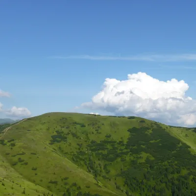 Mountain meadowHole of the western Low Tatras: from Prašivá to ĎurkováLiptovská Lúžnaaltitude 1 648 m11 km from the centreThe western part of the main ridge of the Low Tatras (Nízke Tatry) is almost 20 kilometres of continuous hole – grassy mountain pastures above the tree line.
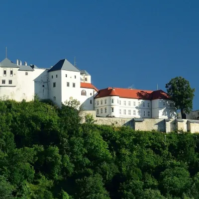 CastleĽupča CastleSlovenská Ľupča20 km from the centreĽupča Castle (Ľupčiansky hrad, Hrad Ľupča) rises above the village of Slovenská Ľupča in the Hron valley, about 10 km east of Banská Bystrica.
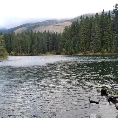 LakeVrbické pleso in the Demänovská valleyDemänovská Dolina23 km from the centreVrbické pleso is the largest natural lake in the Low Tatras. It lies at 1,113 m in the upper western part of the Demänovská dolina, on the right-hand slope of the side...
Craft nearby
All craft places Craft beer & breweriesURSUS craft brewery, Čutkovská valleyRužomberok14 km from the centreURSUS craft brewery (Remeselný pivovar URSUS) is the first brewery of the town of Ružomberok, tucked away in the picturesque Čutkovská valley in lower Liptov.
 Cheese dairies & pasturesSalaš Krajinka near RužomberokRužomberok17 km from the centreSalaš Krajinka is a genuine sheep farm on the edge of Ružomberok in lower Liptov. It was founded in 1983 to keep a thousand sheep, and the owners have deliberately...
 Water parks & thermal poolsBrusno Spa: mineral springs, treatments and Caracalla SpaBrusno21 km from the centreBrusno Spa (Kúpele Brusno) lies in the Hron valley (Horehronie), about 20 km north-east of Banská Bystrica, on the northern slopes of the Vepor massif in the Slovak...
 Water parks & thermal poolsBešeňová Water ParkBešeňová21 km from the centreBešeňová — the "thermal heart of Liptov" Bešeňová Water Park (Vodný park Bešeňová) lies on the edge of the village of the same name in the western part of the Liptov...
 Water parks & thermal poolsLúčky Spa and AQUA-VITAL ParkLúčky23 km from the centreLúčky Spa (Kúpele Lúčky) lies in a quiet valley beneath the Choč Mountains, in the village of Lúčky near Ružomberok.
 Koliby & Hutsul cuisineSalaš Dechtáre above Liptovská MaraGalovany24 km from the centreSalaš Dechtáre is a wooden koliba above the Liptovská Mara reservoir that is described as one of Slovakia’s first commercial salaš restaurants.
Spas and thermal pools nearby
Water parks & thermal poolsBrusno Spa: mineral springs, treatments and Caracalla SpaBrusno21 km from the centreBrusno Spa (Kúpele Brusno) lies in the Hron valley (Horehronie), about 20 km north-east of Banská Bystrica, on the northern slopes of the Vepor massif in the Slovak...Water parks & thermal poolsBešeňová Water ParkBešeňová21 km from the centreBešeňová — the "thermal heart of Liptov" Bešeňová Water Park (Vodný park Bešeňová) lies on the edge of the village of the same name in the western part of the Liptov...Water parks & thermal poolsLúčky Spa and AQUA-VITAL ParkLúčky23 km from the centreLúčky Spa (Kúpele Lúčky) lies in a quiet valley beneath the Choč Mountains, in the village of Lúčky near Ružomberok.Huts, shelters and springs nearby
Getting there from Ukraine
Border crossings
- Uzhhorod – Vyšné Nemecké — road, 24/7
- Malyi Bereznyi – Ubľa — road, 24/7 For cars and buses; pedestrians not confirmed by the Ukrainian border service, lorries up to 3.5 t.
- Mali Selmentsi – Veľké Slemence (pedestrian) — pedestrian, 09:00–21:00 Kyiv time Pedestrians and cyclists only; inconvenient for the Tatras without onward transport.
- Chop – Čierna nad Tisou (rail) — rail, 24/7
By car
From Uzhhorod ≈275 km, ≈3 h 35 min without queues: Uzhhorod – Vyšné Nemecké → I/19 to Košice → D1 motorway via Prešov, Poprad and Liptovský Mikuláš to Ružomberok (≈270 km, ≈3 h 25 min from the border). From Lviv it is faster through Poland: M-10 → Krakovets – Korczowa → A4 to Kraków → S7/DK7 to the Chyżne – Trstená border → R3 and I/59 via Dolný Kubín to Ružomberok: ≈482 km, ≈6 h 15 min (via Uzhok and Ubľa ≈500 km, ≈7 h 30 min). The D1 requires an e-vignette (eznamka.sk).
Checked 23.10.2026; border crossing hours and timetables change — check before you travel.
