Valaská Belá
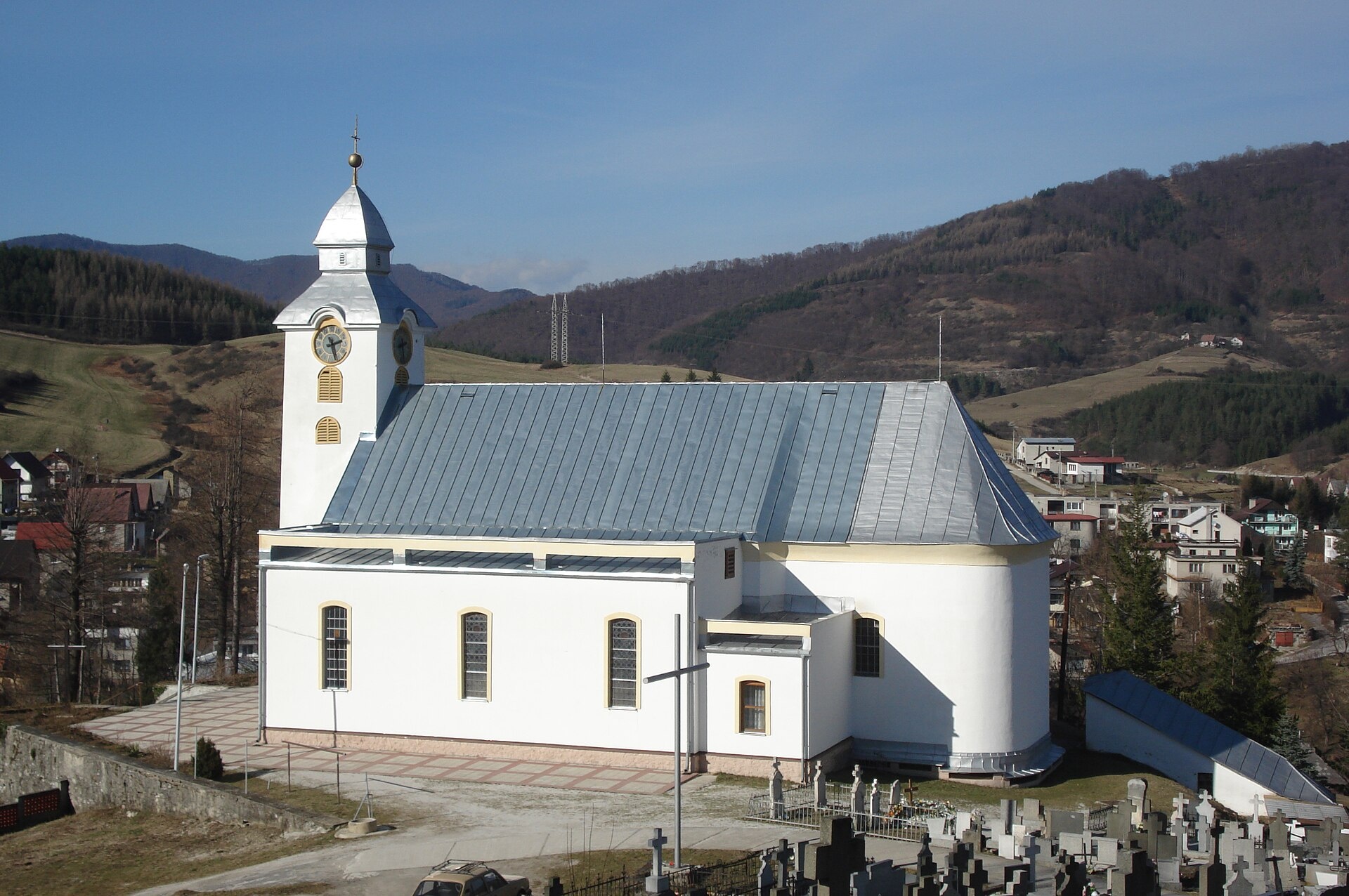
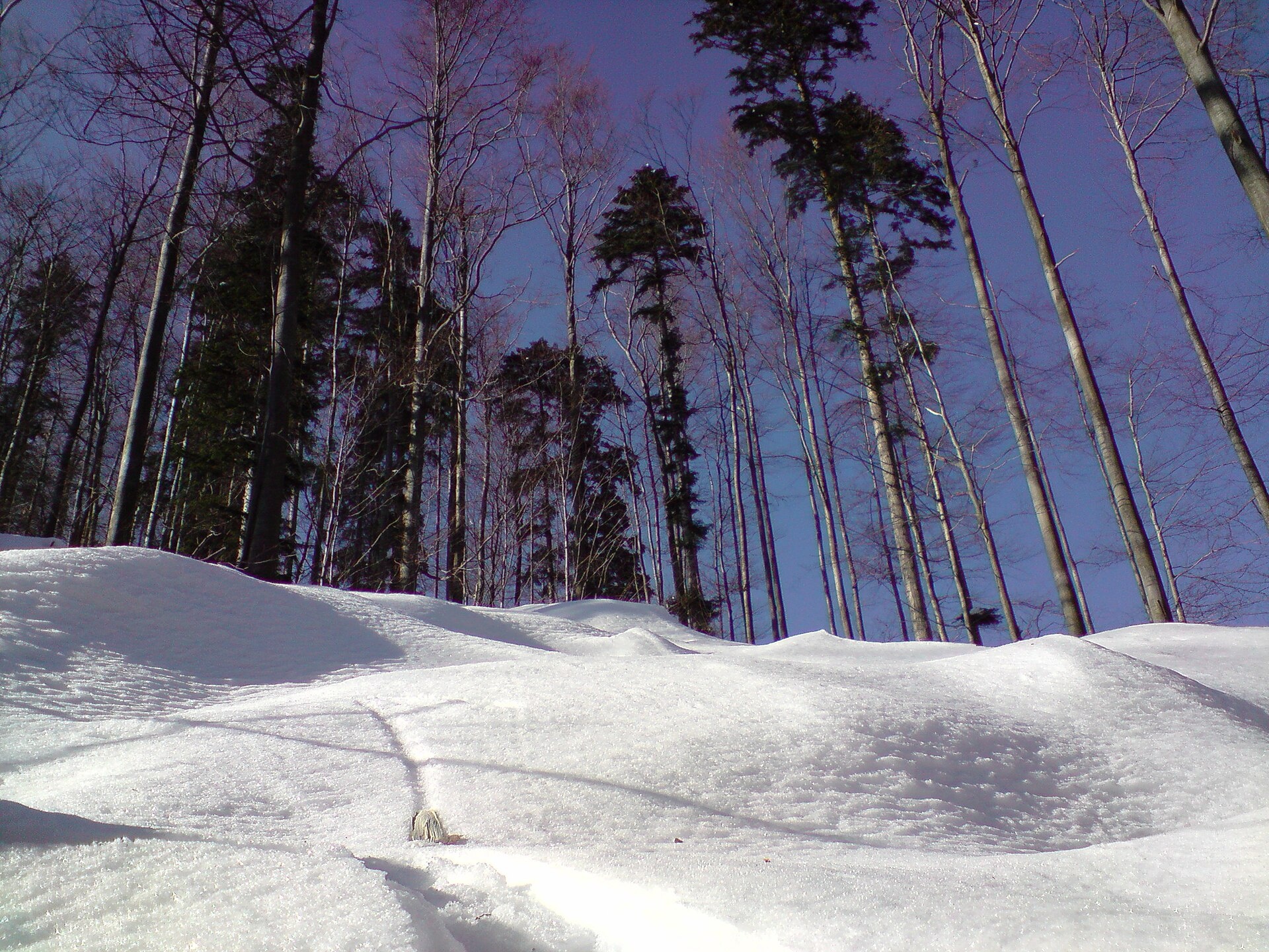
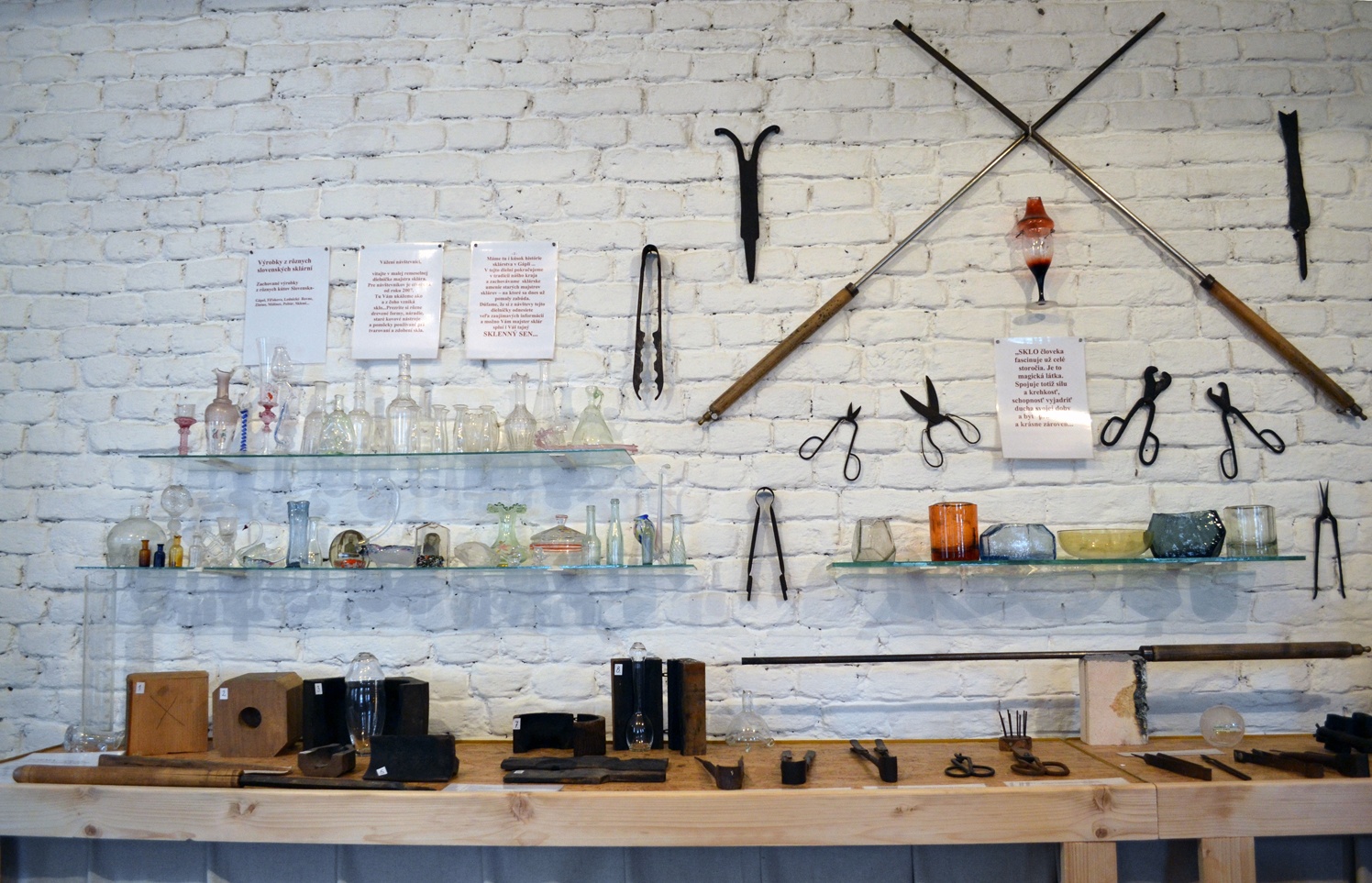
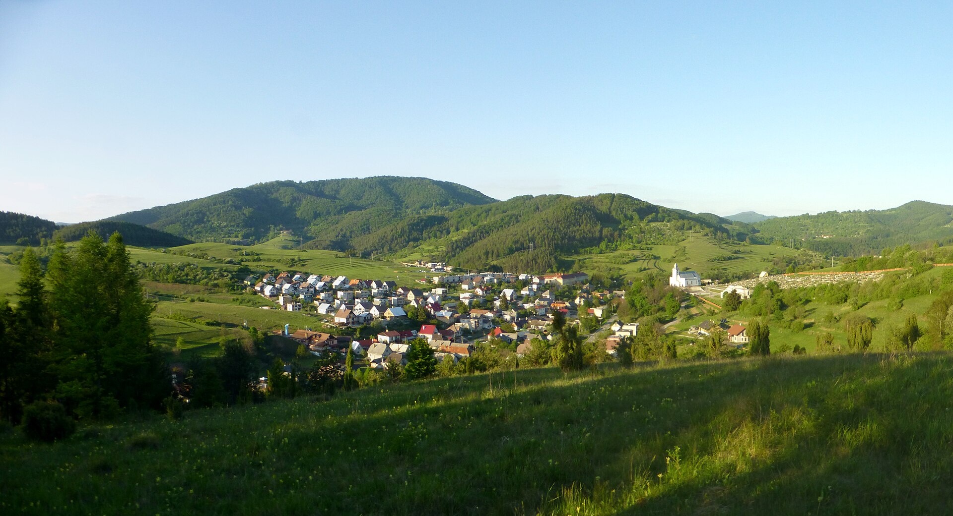
Photos: Lukas Kucko, Public domain (Wikimedia Commons); Branik P, CC BY-SA 3.0 (Wikimedia Commons); Renessaince, CC BY-SA 3.0 (Wikimedia Commons); Ondrej Pelech, CC BY-SA 4.0 (Wikimedia Commons)
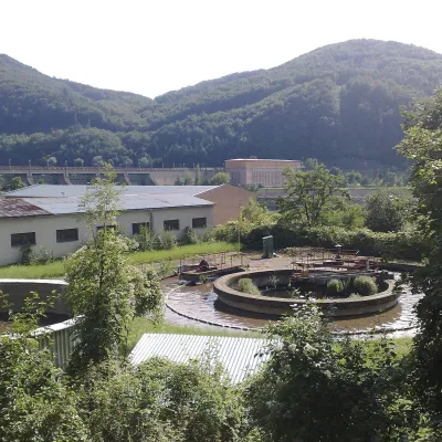
Valaská Belá is a village and municipality in the Prievidza District, Trenčín Region, Slovakia. It lies at an elevation of 485 metres in the scenic foothills of the Strážov Mountains. The village is traversed by the Jasenina River and covers a cadastral area of 64.77 km², forming part of western Slovakia known for its natural landscapes.
The first written mention of Valaská Belá dates to 1324. The village was established under Wallachian law and, over the centuries, belonged to the Újfalussy, Bossányi, Radnay, and Splényi families, as well as the Nitra bishopric. Glassmaking developed nearby: in 1747, the glassmaking settlement of Gápel was founded, where glass furnaces, a mill, and a sawmill operated.
Valaská Belá is known for its traditions in agriculture, sheep farming, and the production of cloth, baskets, and agricultural tools. The village preserves historical monuments: the Roman Catholic Church of Saint Michael the Archangel (1794) and the Chapel of Saint Joseph (1826). Its religious and cultural heritage has developed over centuries, while the picturesque surroundings attract nature enthusiasts.
For visitors, Valaská Belá is an excellent starting point for exploring the Strážov Mountains. The Strážov peak is accessible from here, and there are numerous hiking trails such as "Zliechov – Rídka", "Čičmany – Jasenovo", and the "Alexander Dubček Trail". The Homolka Hut is located nearby, and in the village of Čičmany, the Radenov House museum of painted log houses can be visited. The area is ideal for hiking, discovering local crafts, and enjoying the outdoors.
Getting there from Ukraine
From Uzhhorod to Žilina ≈330 km, ≈4 h 20 min without queues: Uzhhorod – Vyšné Nemecké → I/19 to Košice → D1 via Prešov, Poprad, Liptovský Mikuláš and Ružomberok (≈17 km on I/18 between D1 sections) → Žilina. To Terchová ≈314 km, ≈4 h 15 min: from the D1 onto I/70 and II/583. From Lviv through Poland: M-10 → Krakovets – Korczowa → A4 to Kraków → S7/DK7 to Chyżne – Trstená → R3, I/59 to Dolný Kubín → II/583 via Terchová to Žilina: to Terchová ≈493 km (≈6 h 30 min), to Žilina ≈518 km (≈7 h). Via the tolled A4 Kraków – Katowice, S1 and D3: ≈533 km, ≈6 h 35 min. The D1 requires an e-vignette (eznamka.sk).
Sources: Wikipedia, Wikidata, OpenStreetMap, Karpaty.rocks data. More on Wikipedia
What's nearby
Trails nearby
All trails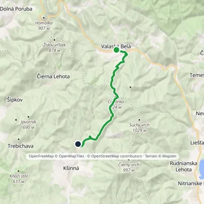 ModerateOne-dayMarkedValaská Belá Závada pod Čiernym vrchomElevation profile365–917 m11.1 kmascent 475 m≈ 3.5 h walkingunder 1 km from the centre
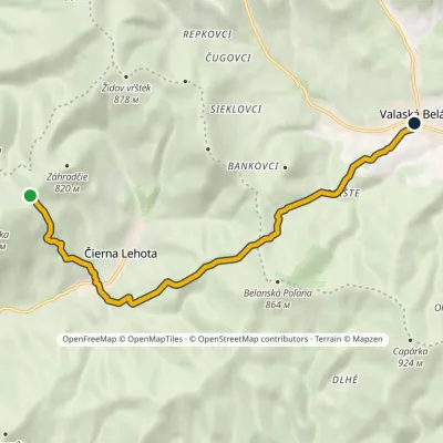 EasyOne-dayMarkedValaská Belá Saddle TrtávkaElevation profile379–758 m8.7 kmascent 383 m≈ 3 h walkingunder 1 km from the centre
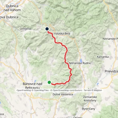 HardMulti-dayMarkedAlexander Dubček TrailElevation profile243–1 029 m33.8 kmascent 1 956 m≈ 12.5 h walking2.6 km from the centre
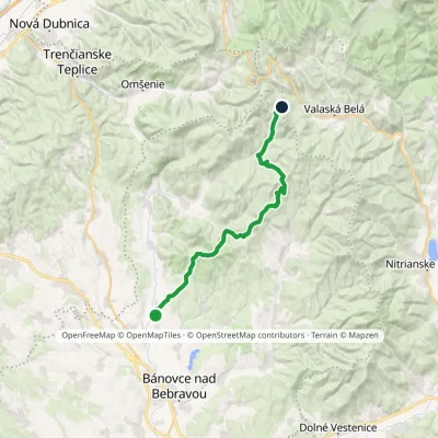 HardTwo-dayMarkedPodlužany Rychtárske zienkyElevation profile218–749 m22.9 kmascent 1 212 m≈ 8 h walking3.4 km from the centre
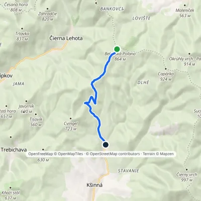 EasyOne-dayMarkedZávada pod Čiernym vrchom DemovecElevation profile367–851 m6.2 km≈ 1.5 h walking3.4 km from the centre
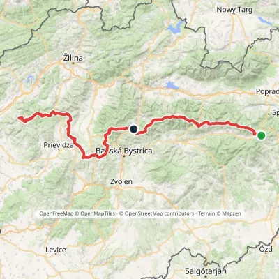 HardMulti-dayMarkedHorná Poruba, U Brdárov Pred ČuntavouElevation profile309–2 004 m241.6 kmascent 15 694 m4.2 km from the centre
Peaks nearby
All peaks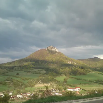 PeakVápečKošecké Podhradiealtitude 955 m7.7 km from the centreVápeč is a 955 m summit in the Strážov Mountains (Strážovské vrchy) in western Slovakia. It rises above the village of Horná Poruba, about 9 km south-east of Ilava,...
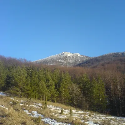 PeakStrážovZliechovaltitude 1 213 m9 km from the centreStrážov (Hungarian Sztrázsó) is the highest summit of the Strážov Mountains, 1213.3 m high (local signs often say 1215 m).
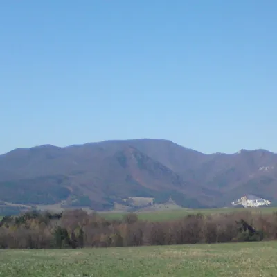 PeakRokošNitrianske Rudnoaltitude 1 010 m13 km from the centreRokoš is a 1010 m mountain, the second-highest peak of the Nitrické vrchy, part of the Strážov Mountains (Strážovské vrchy) in western Slovakia.
What to visit
All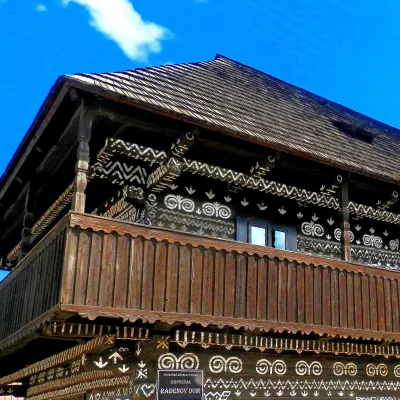 MuseumRaden's House in Čičmany — Museum of the Painted Log HousesČičmany12 km from the centreČičmany is a mountain village in a basin of the Strážov Hills, close to the source of the Rajčanka river, and the highest-lying village in Žilina District.
 Cheese dairies & pasturesSalaš Pružina: 100% sheep’s bryndza in the Strážov HillsPružina16 km from the centrePružina is a village in a picturesque valley of the Strážov Hills (Strážovské vrchy) west of Považská Bystrica.
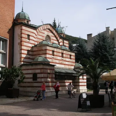 Water parks & thermal poolsTrenčianske Teplice: the Hammam and sulphur thermal bathsTrenčianske Teplice17 km from the centreTrenčianske Teplice is one of Slovakia's oldest spas, squeezed into a narrow wooded valley of the Strážov Mountains not far from Trenčín.
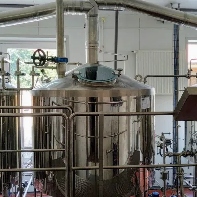 Craft beer & breweriesGalgenberg brewery in Nitrianske Pravno: tour and beer from the tankNitrianske Pravno18 km from the centreNitrianske Pravno is a large village at the northern end of the Upper Nitra basin, 12 km from Prievidza, where the river Nitra leaves the Malá Magura and Žiar hills.
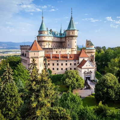 MuseumBojnice Castle — Slovak National MuseumBojnice18 km from the centreBojnice Castle (Bojnický zámok) rises on a travertine mound above the spa town of Bojnice near Prievidza, in the upper Nitra valley.
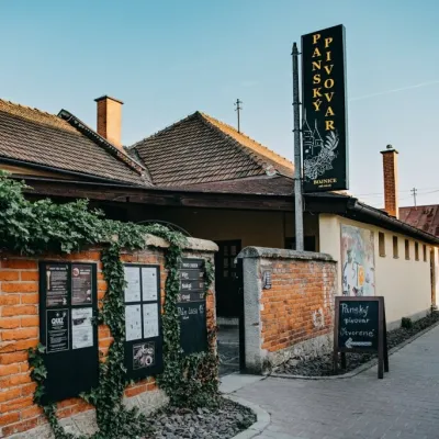 Craft beer & breweriesPanský pivovar Bojnice: unfiltered craft beer below the castleBojnice18 km from the centreBojnice is a spa town in the upper Nitra valley at the foot of the Strážov Hills, famous for the fairy-tale castle of the Pálffy family.
Craft nearby
All craft places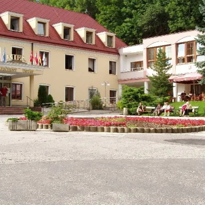 Water parks & thermal poolsBojnice Spa: thermal springs, pools and treatmentsBojnice18 km from the centreBojnice Spa (Kúpele Bojnice) lies on the edge of the town of Bojnice, about 3 km from Prievidza, in the Upper Nitra basin – at the eastern foot of the Malá Magura...
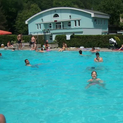 Water parks & thermal poolsChalmová Thermal Pool near PrievidzaBystričany25 km from the centreChalmová Thermal Pool (Termálne kúpalisko Chalmová) is a public pool complex in the village of Chalmová, part of the municipality of Bystričany, about 14 km south of...
 Water parks & thermal poolsNimnica: a mineral-water spa above the Nosice reservoirNimnica27 km from the centreNimnica is one of Slovakia's youngest spas, in the Váh valley between Púchov and Považská Bystrica. Its spa houses stand at about 300 m on a wooded spur of the...
Spas and thermal pools nearby
Water parks & thermal poolsTrenčianske Teplice: the Hammam and sulphur thermal bathsTrenčianske Teplice17 km from the centreTrenčianske Teplice is one of Slovakia's oldest spas, squeezed into a narrow wooded valley of the Strážov Mountains not far from Trenčín.Water parks & thermal poolsBojnice Spa: thermal springs, pools and treatmentsBojnice18 km from the centreBojnice Spa (Kúpele Bojnice) lies on the edge of the town of Bojnice, about 3 km from Prievidza, in the Upper Nitra basin – at the eastern foot of the Malá Magura...Water parks & thermal poolsChalmová Thermal Pool near PrievidzaBystričany25 km from the centreChalmová Thermal Pool (Termálne kúpalisko Chalmová) is a public pool complex in the village of Chalmová, part of the municipality of Bystričany, about 14 km south of...Huts, shelters and springs nearby
Getting there from Ukraine
Border crossings
- Uzhhorod – Vyšné Nemecké — road, 24/7
- Malyi Bereznyi – Ubľa — road, 24/7 For cars and buses; pedestrians not confirmed by the Ukrainian border service, lorries up to 3.5 t.
- Mali Selmentsi – Veľké Slemence (pedestrian) — pedestrian, 09:00–21:00 Kyiv time Pedestrians and cyclists only; inconvenient for the Tatras without onward transport.
- Chop – Čierna nad Tisou (rail) — rail, 24/7
By car
From Uzhhorod to Žilina ≈330 km, ≈4 h 20 min without queues: Uzhhorod – Vyšné Nemecké → I/19 to Košice → D1 via Prešov, Poprad, Liptovský Mikuláš and Ružomberok (≈17 km on I/18 between D1 sections) → Žilina. To Terchová ≈314 km, ≈4 h 15 min: from the D1 onto I/70 and II/583. From Lviv through Poland: M-10 → Krakovets – Korczowa → A4 to Kraków → S7/DK7 to Chyżne – Trstená → R3, I/59 to Dolný Kubín → II/583 via Terchová to Žilina: to Terchová ≈493 km (≈6 h 30 min), to Žilina ≈518 km (≈7 h). Via the tolled A4 Kraków – Katowice, S1 and D3: ≈533 km, ≈6 h 35 min. The D1 requires an e-vignette (eznamka.sk).
Checked 23.10.2026; border crossing hours and timetables change — check before you travel.
