Uhrovské Podhradie
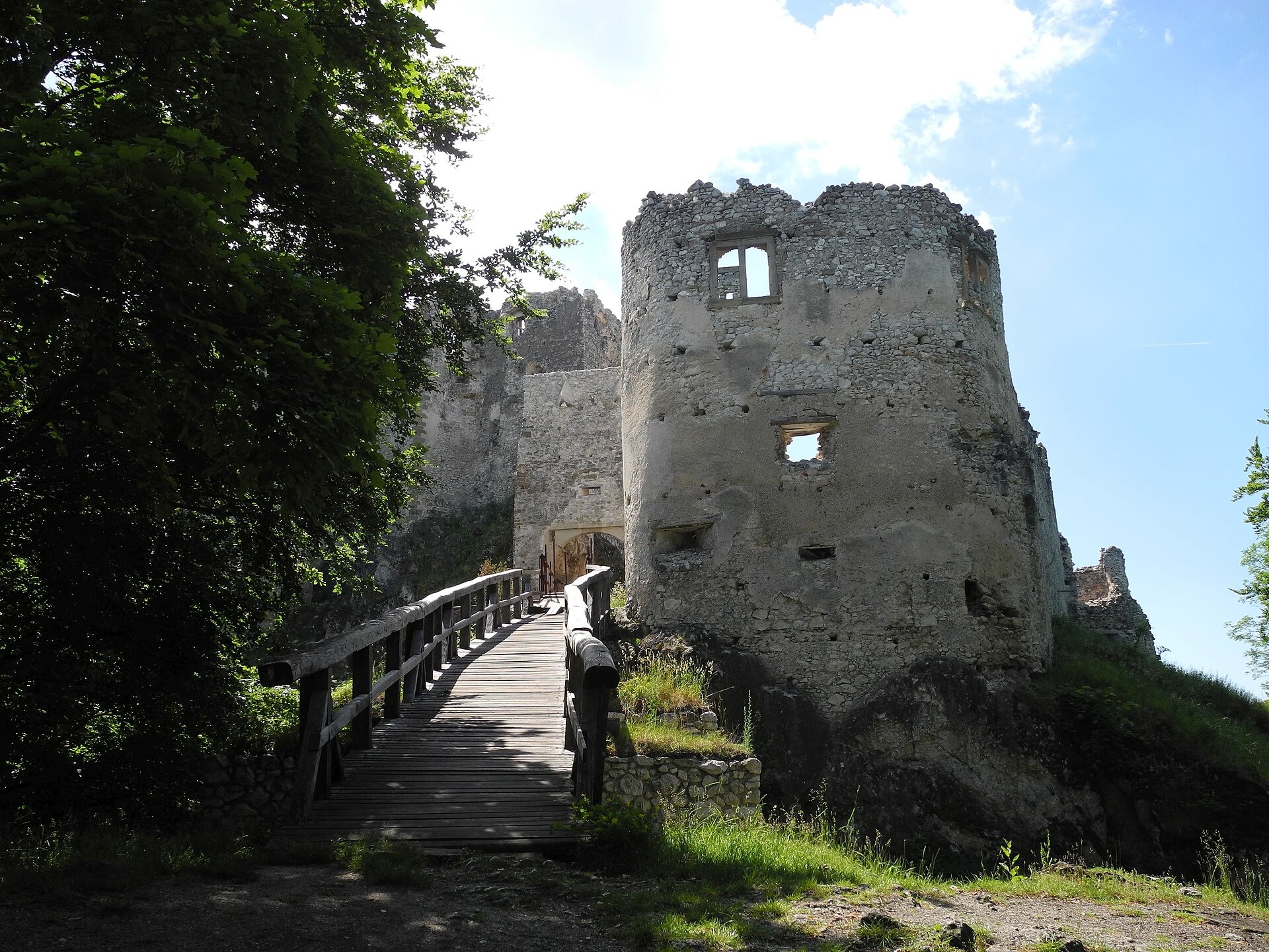
Photos: Baca12 (talk), CC BY-SA 4.0 (Wikimedia Commons); Milan Nobonn, CC BY 3.0 (Wikimedia Commons); dalibor135, CC BY-SA 3.0 (Wikimedia Commons)
Uhrovské Podhradie is a village in Slovakia.
Elevation: about 340 m above sea level. Population: 46 (2025). Mountains nearby: Strážov Mountains.
Here and nearby on the site: 3 trails.
Facts: Wikidata, OpenStreetMap. More on Wikipedia
What's nearby
Trails nearby
All trails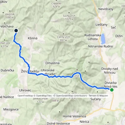 HardTwo-dayMarkedDiviacka Nová Ves VozoreElevation profile265–964 m21.3 kmascent 1 033 m≈ 7.5 h walkingunder 1 km from the centre
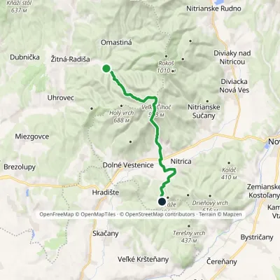 ModerateOne-dayMarkedUhrovské Podhradie VartyElevation profile231–918 m14.3 kmascent 790 m≈ 5 h walkingunder 1 km from the centre
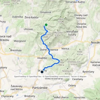 ModerateTwo-dayMarkedUhrovský Castle SkačanyElevation profile203–688 m18.5 kmascent 565 m≈ 6 h walking1.1 km from the centre
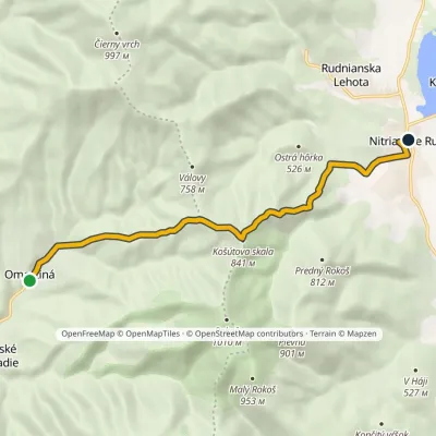 EasyOne-dayMarkedOmastinná, hut Nitrianske Rudno, campingElevation profile315–841 m8.5 kmascent 513 m≈ 3 h walking1.6 km from the centre
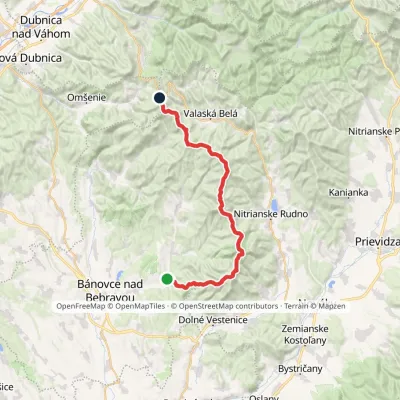 HardMulti-dayMarkedAlexander Dubček TrailElevation profile243–1 029 m33.8 kmascent 1 956 m≈ 12.5 h walking2.6 km from the centre
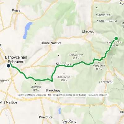 EasyOne-dayMarkedBánovce Jankov vŕšokElevation profile201–536 m12.1 kmascent 141 m≈ 3.5 h walking2.8 km from the centre
Peaks nearby
All peaks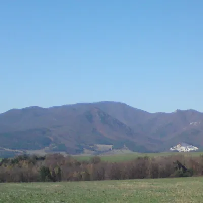 PeakRokošNitrianske Rudnoaltitude 1 010 m4.1 km from the centreRokoš is a 1010 m mountain, the second-highest peak of the Nitrické vrchy, part of the Strážov Mountains (Strážovské vrchy) in western Slovakia.
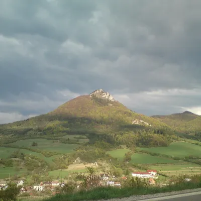 PeakVápečKošecké Podhradiealtitude 955 m20 km from the centreVápeč is a 955 m summit in the Strážov Mountains (Strážovské vrchy) in western Slovakia. It rises above the village of Horná Poruba, about 9 km south-east of Ilava,...
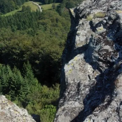 PeakBuchlov (Vtáčnik)Čereňanyaltitude 1 040 m22 km from the centreBuchlov is a prominent rocky peak, 1,040 m high, in the Vtáčnik mountains of central Slovakia. It should not be confused with the castle hill of the same name in the...
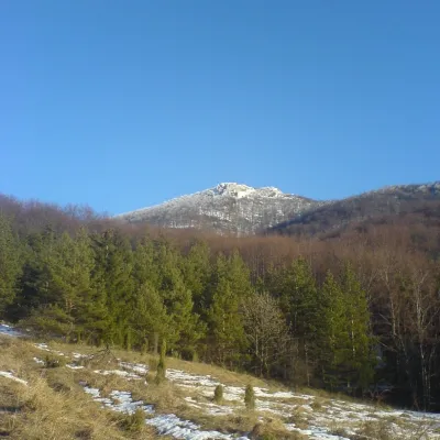 PeakStrážovZliechovaltitude 1 213 m22 km from the centreStrážov (Hungarian Sztrázsó) is the highest summit of the Strážov Mountains, 1213.3 m high (local signs often say 1215 m).
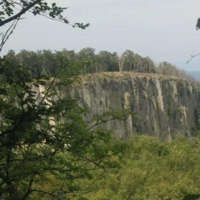 PeakBiela skala (Biely kameň)Handlováaltitude 1 135 m24 km from the centreBiela skala (older name, still used on most maps: Biely kameň; Polish Biały Kamień) is a partly rocky 1135 m summit in the Vtáčnik mountains of Slovakia.
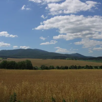 PeakInovecSelecaltitude 1 041 m25 km from the centreInovec (Polish Inowiec) is the highest summit of the Považský Inovec range in western Slovakia, at 1,041 m (more precisely 1,041.6 m).
What to visit
All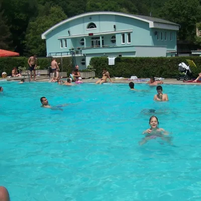 Water parks & thermal poolsChalmová Thermal Pool near PrievidzaBystričany13 km from the centreChalmová Thermal Pool (Termálne kúpalisko Chalmová) is a public pool complex in the village of Chalmová, part of the municipality of Bystričany, about 14 km south of...
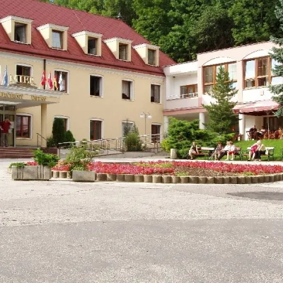 Water parks & thermal poolsBojnice Spa: thermal springs, pools and treatmentsBojnice14 km from the centreBojnice Spa (Kúpele Bojnice) lies on the edge of the town of Bojnice, about 3 km from Prievidza, in the Upper Nitra basin – at the eastern foot of the Malá Magura...
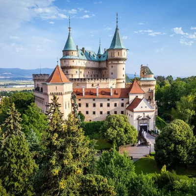 MuseumBojnice Castle — Slovak National MuseumBojnice15 km from the centreBojnice Castle (Bojnický zámok) rises on a travertine mound above the spa town of Bojnice near Prievidza, in the upper Nitra valley.
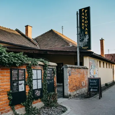 Craft beer & breweriesPanský pivovar Bojnice: unfiltered craft beer below the castleBojnice15 km from the centreBojnice is a spa town in the upper Nitra valley at the foot of the Strážov Hills, famous for the fairy-tale castle of the Pálffy family.
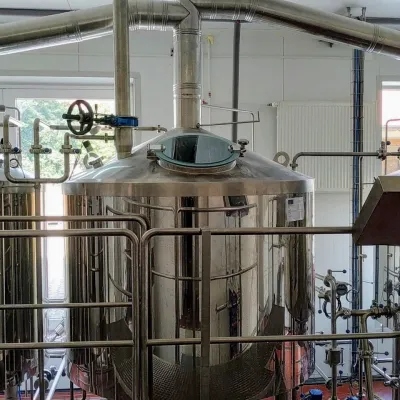 Craft beer & breweriesGalgenberg brewery in Nitrianske Pravno: tour and beer from the tankNitrianske Pravno22 km from the centreNitrianske Pravno is a large village at the northern end of the Upper Nitra basin, 12 km from Prievidza, where the river Nitra leaves the Malá Magura and Žiar hills.
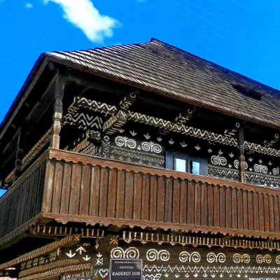 MuseumRaden's House in Čičmany — Museum of the Painted Log HousesČičmany24 km from the centreČičmany is a mountain village in a basin of the Strážov Hills, close to the source of the Rajčanka river, and the highest-lying village in Žilina District.
Craft nearby
All craft places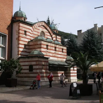 Water parks & thermal poolsTrenčianske Teplice: the Hammam and sulphur thermal bathsTrenčianske Teplice22 km from the centreTrenčianske Teplice is one of Slovakia's oldest spas, squeezed into a narrow wooded valley of the Strážov Mountains not far from Trenčín.
 Cheese dairies & pasturesSalaš Pružina: 100% sheep’s bryndza in the Strážov HillsPružina30 km from the centrePružina is a village in a picturesque valley of the Strážov Hills (Strážovské vrchy) west of Považská Bystrica.
Spas and thermal pools nearby
Water parks & thermal poolsChalmová Thermal Pool near PrievidzaBystričany13 km from the centreChalmová Thermal Pool (Termálne kúpalisko Chalmová) is a public pool complex in the village of Chalmová, part of the municipality of Bystričany, about 14 km south of...Water parks & thermal poolsBojnice Spa: thermal springs, pools and treatmentsBojnice14 km from the centreBojnice Spa (Kúpele Bojnice) lies on the edge of the town of Bojnice, about 3 km from Prievidza, in the Upper Nitra basin – at the eastern foot of the Malá Magura...Water parks & thermal poolsTrenčianske Teplice: the Hammam and sulphur thermal bathsTrenčianske Teplice22 km from the centreTrenčianske Teplice is one of Slovakia's oldest spas, squeezed into a narrow wooded valley of the Strážov Mountains not far from Trenčín.Huts, shelters and springs nearby
Getting there from Ukraine
Border crossings
- Uzhhorod – Vyšné Nemecké — road, 24/7
- Malyi Bereznyi – Ubľa — road, 24/7 For cars and buses; pedestrians not confirmed by the Ukrainian border service, lorries up to 3.5 t.
- Mali Selmentsi – Veľké Slemence (pedestrian) — pedestrian, 09:00–21:00 Kyiv time Pedestrians and cyclists only; inconvenient for the Tatras without onward transport.
- Chop – Čierna nad Tisou (rail) — rail, 24/7
By car
From Uzhhorod to Žilina ≈330 km, ≈4 h 20 min without queues: Uzhhorod – Vyšné Nemecké → I/19 to Košice → D1 via Prešov, Poprad, Liptovský Mikuláš and Ružomberok (≈17 km on I/18 between D1 sections) → Žilina. To Terchová ≈314 km, ≈4 h 15 min: from the D1 onto I/70 and II/583. From Lviv through Poland: M-10 → Krakovets – Korczowa → A4 to Kraków → S7/DK7 to Chyżne – Trstená → R3, I/59 to Dolný Kubín → II/583 via Terchová to Žilina: to Terchová ≈493 km (≈6 h 30 min), to Žilina ≈518 km (≈7 h). Via the tolled A4 Kraków – Katowice, S1 and D3: ≈533 km, ≈6 h 35 min. The D1 requires an e-vignette (eznamka.sk).
Checked 23.10.2026; border crossing hours and timetables change — check before you travel.
