Stariava

Stariava is a settlement in the Carpathian region of Ukraine. Location: Sambir district, Lviv region. Worth seeing nearby: Church of the Nativity of the Virgin Mary in the village of Rosokhy — 7 km; Church of the Resurrection, Stara Sil — 14 km; St. Michael's Church, Stara Sil — 15 km. The nearest peaks: Mount Rozluch — 933 m; Mount Kremenets — 1 221 m; Mount Kalnytsia — 1 004 m. Hiking trails close by: No. 503-1 Staryi Sambir – Skhidnytsia; No. 5015 In the Footsteps of Prince Lev: Tershiv village – Spas Rock. There are places to stay here and nearby, from guest houses to hotels.
Below: places to stay, sights, trails and peaks nearby, the weather and answers to frequent questions.
Comments
Travellers’ experience: reports, tips, questions.
No one has written here yet. Be the first — your experience helps others.
What's nearby
What to visit
Landmarks, museums and places of interest near Stariava.
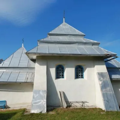 ChurchChurch of the Nativity of the Virgin Mary in the village of RosokhyLviv region7.1 km from the centreThe stone Church of the Nativity of the Virgin Mary is the only attraction of the small village of Rosokhy.
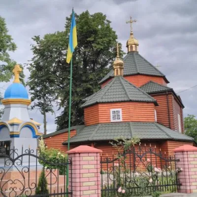 ChurchChurch of the Resurrection, Stara SilStara Sil14 km from the centreTheChurch of the Resurrection in Stara Sola was probably built in the fifteenth century. It is located a little further along the Staryi Sambir-Khyriv road in the...
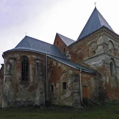 Historic siteSt. Michael's Church, Stara SilStara Sil15 km from the centreMichael the Archangel is an outstanding 17th-century Baroque architectural monument in the village of Stara Sil, Lviv Oblast, not far from Staryi Sambir.
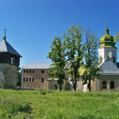 ArchitectureLavra Monastery of St. Onufriy, LavraLavriv15 km from the centreCloser to the border with Poland, 106 kilometers from Lviv, there is a small village of Lavriv. It is notable for one of the oldest shrines in Western Ukraine.
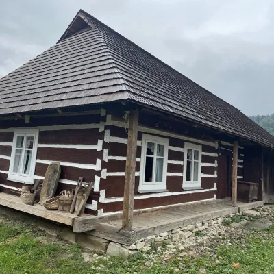 Ethno parks & homesteadsNanashkova Khata Ethno-Sadyba, Lopushanka-KhomynaStrilky26 km from the centreNanashkova Khata ethno-homestead is a restored Boyko house built in 1930 in the village of Lopushanka-Khomyna, Sambir district, in a quiet mountain valley of the Lviv...
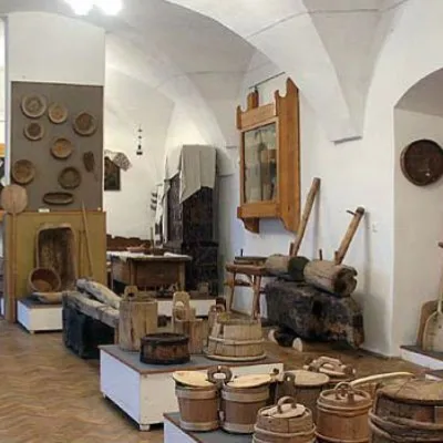 MuseumHistorical and Ethnographic Museum "Boykivshchyna"Sambir32 km from the centreThe society included such figures as Ivan Fylypchak (educator, writer), Volodymyr Hurkevych (lawyer, public figure), Volodymyr Kobilnyk (doctor, ethnographer,...
Where to stay
Hotels, sadybas and cottages in and around Stariava.
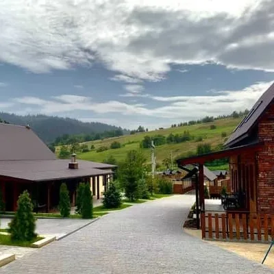 HotelBilychiSambir11 km from the centreHot tubPoolSaunaNearby: Lavra Monastery of St. Onufriy 5.4 kmSt. Michael's Church 7.8 kmfrom 3 000 UAH per night
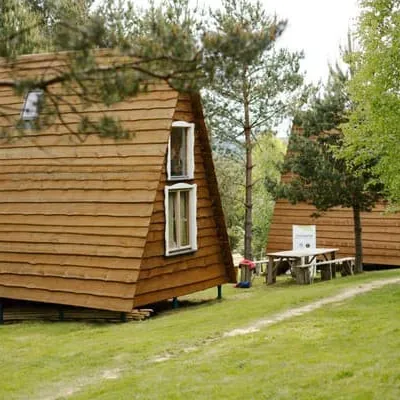 HotelMshanetski KolibaStaryi Sambir18 km from the centreBBQParkingWi‑FiNearby: 1 trailfrom 900 UAH per night
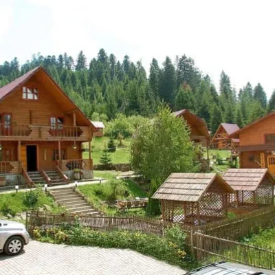 HotelBoikivskyi DvirStaryi Sambir19 km from the centreHot tubPoolBBQNearby: Church of St. Nicholas 1.1 kmSt. Michael's Church 6.1 km2 trailsfrom 1 430 UAH per night
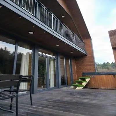 HotelSpas ResortStaryi Sambir19 km from the centrePoolJacuzziBBQNearby: Church of St. Nicholas 5.2 kmLavra Monastery of St. Onufriy 5.9 km1 trailfrom 6 000 UAH per night
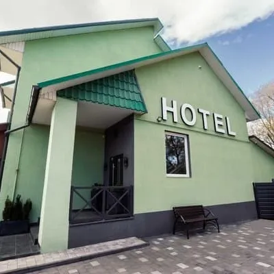 HotelDREAM HOTEL SambirSambir29 km from the centreParkingWi‑FiPetsNearby: Church of St. Stanislav 2.2 kmSambir Town Hall 2.2 kmfrom 1 500 UAH per night
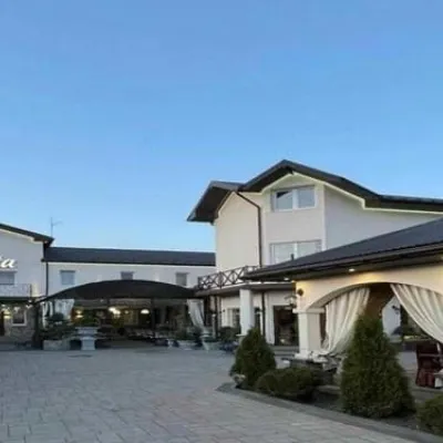 HotelSonataSambir31 km from the centreParkingWi‑FiNearby: Church of St. Stanislav 1.1 kmSambir Town Hall 1.2 kmfrom 1 060 UAH per night
Trails nearby
All trails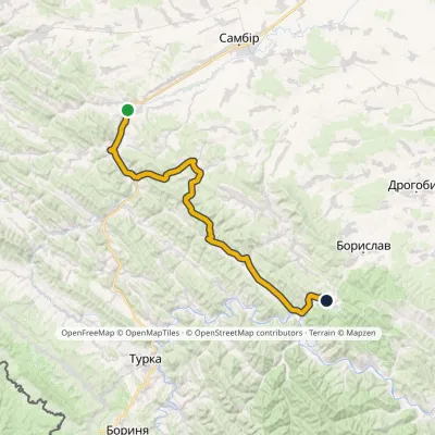 HardTwo-dayMarkedNo. 503-1 Staryi Sambir SkhidnytsiaElevation profile340–826 m57 kmascent 1 054 m18 km from the centre
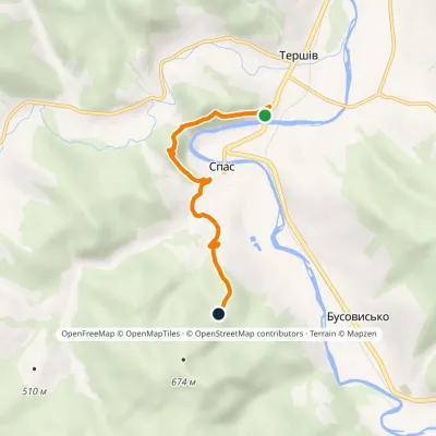 EasyOne-dayMarkedNo. 5015 In the Footsteps of Prince Lev: Tershiv village Spas RockElevation profile369–536 m4.6 kmascent 274 m≈ 1.5 h walking19 km from the centre
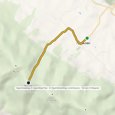 EasyOne-dayMarkedNo. 5018 Storm Gate: Hrozova village Mount Magura-LimnianskaElevation profile546–1 022 m3.6 kmascent 486 m≈ 1.5 h walking21 km from the centre
Peaks nearby
All peaks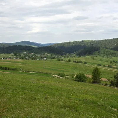 PeakMount RozluchRozluchaltitude 933 m36 km from the centre1 trail to the topRozluch is a 933 m mountain in the Upper Dniester Beskids, the highest point of the Rozluch ridge. It lies in the Sambir (formerly Turka) district of Lviv Oblast,...
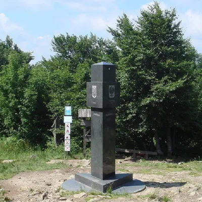 PeakMount KremenetsStuzhytsiaaltitude 1 221 m49 km from the centre4 trails to the topKremenets (also known as Kreminets) is a mountain in the Ukrainian Carpathians, one of the highest peaks of the Bukivski Verkhy (Bukovinian Hills).
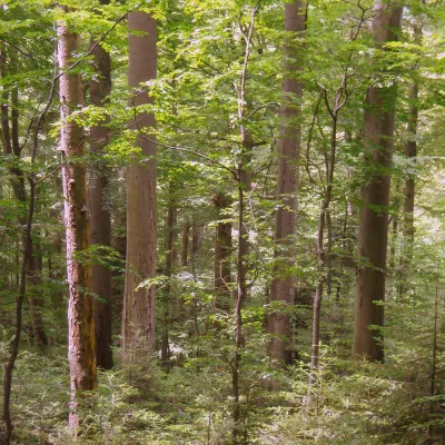 PeakMount KalnytsiaStuzhytsiaaltitude 1 004 m50 km from the centreKalnytsia (Slovak: Kalnica) is a 1,004 m mountain on the state border between Ukraine and Slovakia, in the Bukovské vrchy, part of the Bieszczady.
