Staré
Staré is a village in Slovakia.
Elevation: about 147 m above sea level. Population: 771 (2025).
Here and nearby on the site: 1 trail.
Facts: Wikidata, OpenStreetMap. More on Wikipedia
Comments
Travellers’ experience: reports, tips, questions.
No one has written here yet. Be the first — your experience helps others.
What's nearby
Trails nearby
All trails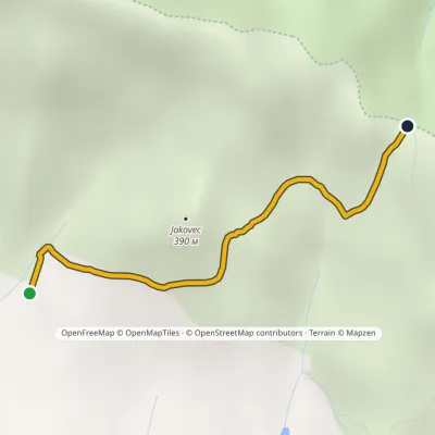 EasyOne-dayMarkedJakovec PľuštieElevation profile203–436 m2.5 kmascent 237 m≈ 1 h walking2.1 km from the centre
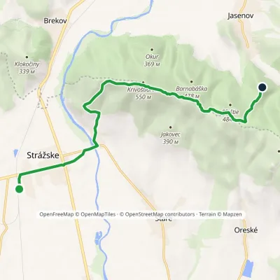 ModerateOne-dayMarkedKrivošťany Jasenov, CastleElevation profile132–548 m10.1 kmascent 465 m≈ 3.5 h walking2.6 km from the centre
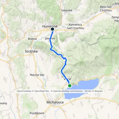 ModerateOne-dayMarkedHumenné, mesto HôrkaElevation profile134–469 m21.5 kmascent 573 m≈ 6.5 h walking3.3 km from the centre
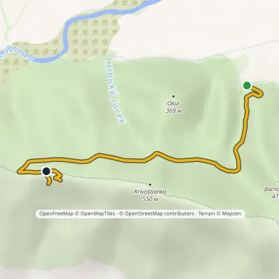 EasyOne-dayMarkedOkur KrivoštiankaElevation profile203–469 m3.9 kmascent 273 m≈ 1.5 h walking3.7 km from the centre
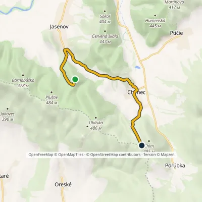 EasyOne-dayMarkedJasenov, under the castle ChlmElevation profile169–442 m7.1 kmascent 351 m≈ 2.5 h walking4.1 km from the centre
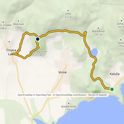 ModerateOne-dayMarkedMedvedia hora Trnava pri LaborciElevation profile131–335 m10.7 kmascent 375 m≈ 3.5 h walking6.1 km from the centre
Peaks nearby
All peaks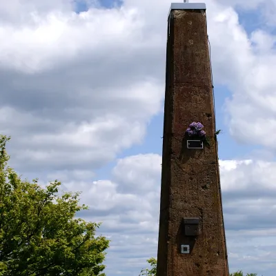 PeakVihorlatValaškovcealtitude 1 076 m · Volcanic Carpathians range18 km from the centreVihorlat (Polish Wyhorlat) is the highest peak of the Vihorlat Mountains in eastern Slovakia, 1,076 m high (precisely 1,075.5 m).
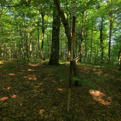 PeakMotrogonValaškovcealtitude 1 018 m · Volcanic Carpathians range22 km from the centreMotrogon is a 1,018 m summit in the Vihorlat Mountains of eastern Slovakia — according to Polish sources the fourth highest in the Vihorlat.
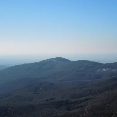 PeakLysákRemetské Hámrealtitude 821 m · Volcanic Carpathians range23 km from the centreLysák (formerly Lysá) is a summit 821 m high in the Vihorlat Mountains of eastern Slovakia, in the Vihorlat subunit.
What to visit
All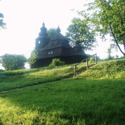 MuseumVihorlat Museum and Open-Air Museum, HumennéHumenné9.2 km from the centreThe Vihorlat Museum (Vihorlatské múzeum) in Humenné is the main museum of Upper Zemplín in north-eastern Slovakia.
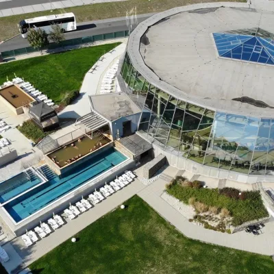 Water parks & thermal poolsThermalpark Šírava in Kaluža, Zemplínska ŠíravaKaluža11 km from the centreThermalpark Šírava (Thermalpark ŠÍRAVA) stands in the village of Kaluža on the northern shore of the Zemplínska Šírava — a large reservoir in eastern Slovakia.
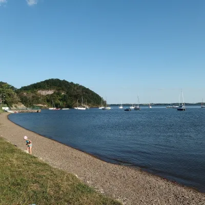 LakeZemplínska šírava — the “Slovak Sea” below the VihorlatKaluža12 km from the centrearea 33 km²up to 14.7 m deepThe “Slovak Sea” by the Ukrainian border Zemplínska šírava is a large reservoir in eastern Slovakia, in the Bodrog basin below the Vihorlat hills.
Spas and thermal pools nearby
Huts, shelters and springs nearby
Getting there from Ukraine
Border crossings
- Uzhhorod – Vyšné Nemecké — road, 24/7
- Malyi Bereznyi – Ubľa — road, 24/7 For cars and buses; pedestrians not confirmed by the Ukrainian border service, lorries up to 3.5 t.
- Mali Selmentsi – Veľké Slemence (pedestrian) — pedestrian, 09:00–21:00 Kyiv time Pedestrians and cyclists only; inconvenient for the Tatras without onward transport.
- Chop – Čierna nad Tisou (rail) — rail, 24/7
By car
Lviv – Snina ≈241 km, ≈4 h 20 min without queues: H-13 via Sambir and the Uzhok Pass to Velykyi and Malyi Bereznyi → Malyi Bereznyi – Ubľa checkpoint → road 74 to Snina (≈27 km, ≈30 min from the border). From Uzhhorod: via Vyšné Nemecké (I/19 towards Sobrance, then II/566 and road 74) ≈65 km, ≈1 h 15 min; via Malyi Bereznyi – Ubľa ≈80 km, ≈1 h 40 min, but that crossing is usually less busy.
Checked 23.10.2026; border crossing hours and timetables change — check before you travel.
