Skrajna Turnia
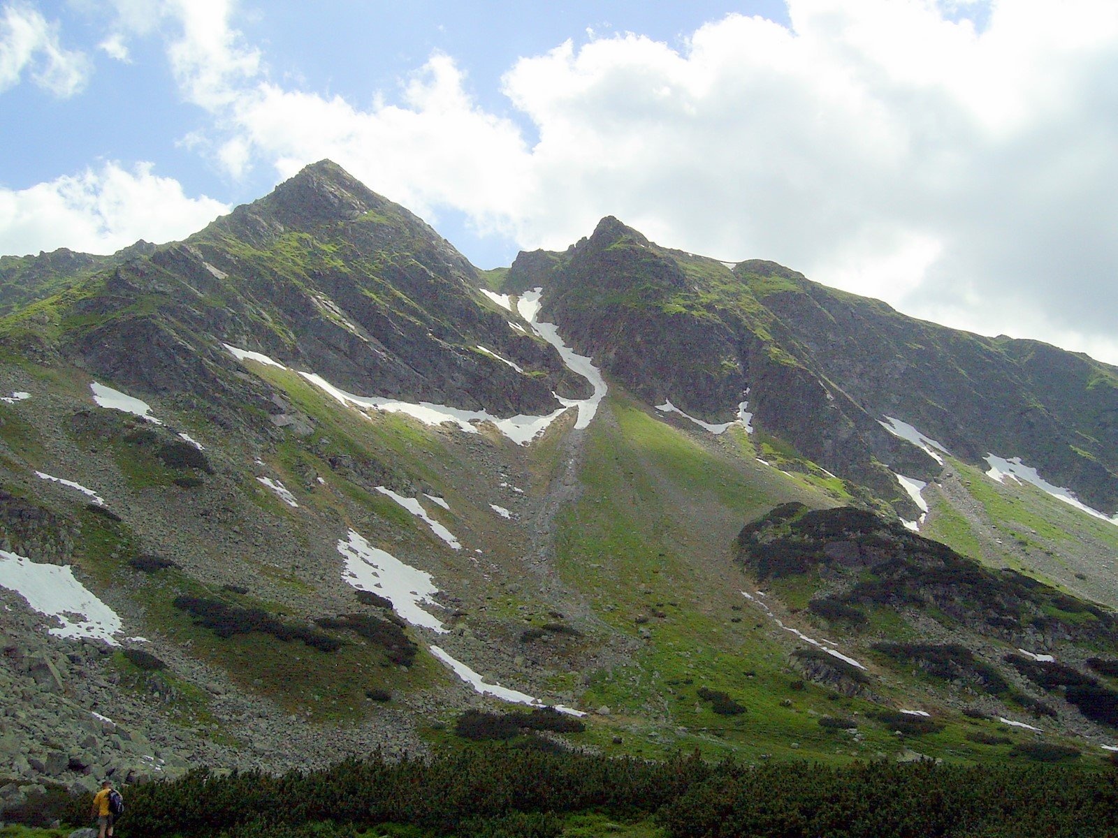
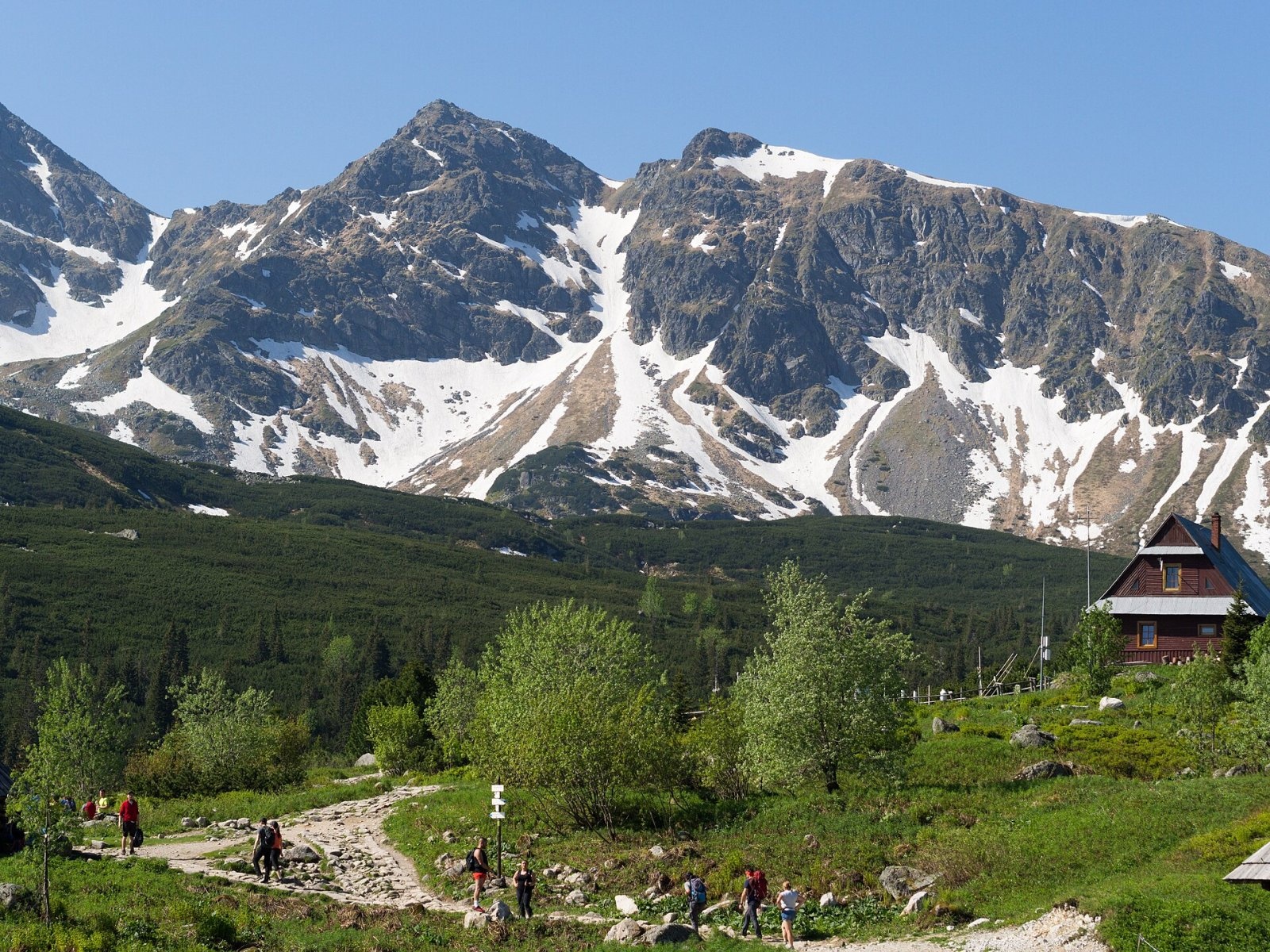
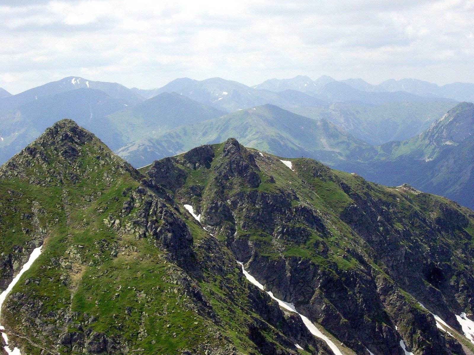
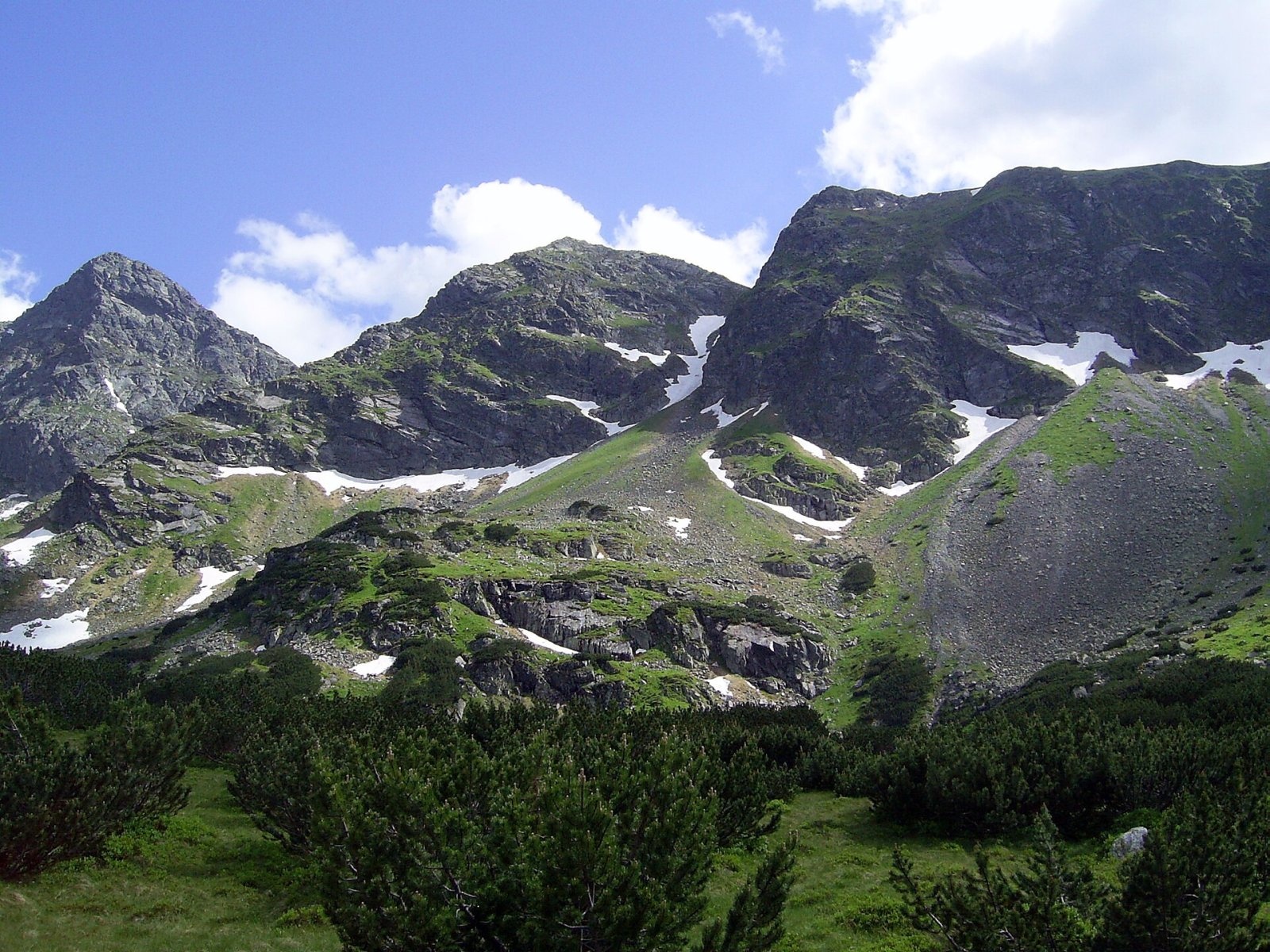
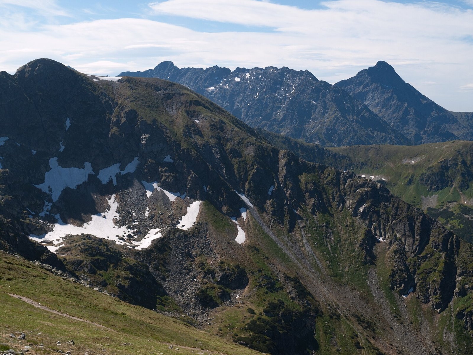
Skrajna Turnia (Slovak Krajná kopa, German Randturm, «Edge Tower») is a 2097 m summit, the first from the west on the ridge of the High Tatras. It lies between the Liliowe pass, which separates the High Tatras from the Western Tatras, and the Skrajna Przełęcz; further east follow Pośrednia Turnia and Świnica. The Polish–Slovak border runs over the top. The upper station of the Kasprowy Wierch cable car is about 1.5 km away, Zakopane almost 9 km in a straight line.
The mountain is built of granitoids; as early as 1850 Ludwik Zejszner wrote that it «lies in the middle of the Tatra range and forms the petrographic boundary of the granite». On the Polish side it drops in walls up to 270 m high towards Zielony Staw Gąsienicowy, while on the Slovak side it descends by a relatively gentle grassy slope, where two spurs separate the Walentkowa valley from the main Tichá valley.
How to get there / trails
The red trail from the Kościeliska valley over the Czerwone Wierchy, Kasprowy Wierch, Liliowe and Świnicka Przełęcz to Świnica and on towards the Orla Perć follows the main ridge. It does not cross the summit itself but traverses its southern slopes on the Slovak side; the highest point is about 25 m from the path. From Kasprowy Wierch to Świnica takes about 1 h 40 min (1 h 20 min back). Thanks to the Kasprowy cable car this section is very busy. Note that since 2021 the Zawrat – Świnica section has been one-way (towards Świnica only), so hikers return from Świnica via Świnicka Przełęcz past Skrajna Turnia.
The view from the top
From around the summit you look south to Walentkowy Wierch, the Hrubý ridge and Kriváň, north into the Gąsienicowa valley with its lakes and west to the Western Tatras. The summit itself, together with Pośrednia Turnia, is well seen from Hala Gąsienicowa, the Murowaniec hut and Kościelec.
Nature and history
Highlanders climbed the summit long ago. Stanisław Staszic probably reached it around 1805, and Eugeniusz Janota and companions certainly did on 16 July 1867. The first recorded winter ascent was by Mychajło Bojczuk and Mariusz Zaruski in 1904. Rare plants found here include the spring pasque flower, Agrostis alpina, Erigeron hungaricus and Carpathian everlasting.
Safety, season and rules
This is genuine high-mountain terrain: thunderstorms on the open ridge are dangerous, and from autumn to spring there is snow, ice and avalanche risk. In both national parks — TPN and TANAP — walking is allowed on marked trails only; on the Slovak side TANAP high-mountain trails are closed from 1 November to 31 May, so check the parks' current notices before setting out. Entry to the Polish park is paid. Rescue: in Poland TOPR (985 or +48 601 100 300), in Slovakia HZS (18 300 or +421 18 300); emergency number 112.
Photos: Krzysztof Dudzik-Górnicki (User:ToSter), CC BY 3.0; Rafał Kozubek, CC BY-SA 4.0; Krzysztof Dudzik-Górnicki (User:ToSter), CC BY-SA 4.0; Krzysztof Dudzik-Górnicki (User:ToSter), CC BY-SA 4.0; Rafał Kozubek, CC BY-SA 3.0 — Wikimedia Commons.
Getting there from Ukraine
Border crossings
- Krakovets – Korczowa — road, 24/7
- Shehyni – Medyka — road, 24/7 Pedestrian crossing is not confirmed by the Ukrainian border service — check dpsu.gov.ua before the trip.
- Smilnytsia – Krościenko — road, 24/7
- Hrushiv – Budomierz — road, 24/7
- Mostyska – Przemyśl (rail) — rail, 24/7
By car
Lviv – Zakopane ≈421 km, ≈5 h 10 min without border queues. Route: M-10 Lviv – Krakovets → Krakovets – Korczowa checkpoint → A4 motorway (Rzeszów – Tarnów – Kraków) → Kraków southern bypass → S7/DK7 → DK47 ('Zakopianka') via Nowy Targ → Zakopane. The A4 Katowice – Kraków section (Balice and Mysłowice toll plazas) is tolled, but this route does not use it. In summer and at weekends the DK47 near Zakopane is often congested.
Checked 23.10.2026; border crossing hours and timetables change — check before you travel.
Location on the map
Water and shelter nearby
- Spring below Beskid (north-east slope), 1 684 m (2)860 m · Not verified · 1 684 m
- Spring below Beskid (north-east slope), 1 684 m870 m · Not verified · 1 684 m
- Spring below Beskid (north-east slope), 1 726 m1.2 km · Not verified · 1 726 m
- Spring below Kasprowy Wierch (north-east slope)1.4 km · Not verified · 1 806 m
- Spring below Zadná Licierova kopa (north-east slope)1.6 km · Not verified · 1 558 m
- Spring below Kasprowy Wierch (south-west slope)1.6 km · Not verified · 1 503 m
- Spring below Zadná Licierova kopa (east slope)1.8 km · Not verified · 1 577 m
- Spring below Zadná Garajova kopa (north-east slope)2.2 km · Not verified · 1 667 m
- Spring below Małe Uhrocie Kasprowe (east slope)2.3 km · Not verified · 1 489 m
- Drinking water below Małe Uhrocie Kasprowe2.3 km · Not verified · 1 499 m
- Murowaniec Hut2.3 km · Standing · 1 500 m
- Spring below Pośredni Goryczkowy Wierch2.4 km · Not verified · 1 627 m
- Spring below Tichý vrch (north-east slope)2.4 km · Not verified · 1 788 m
- Spring below Tichý vrch (east slope)2.5 km · Not verified · 1 780 m
- Spring below Małe Uhrocie Kasprowe (north slope), 1 624 m2.5 km · Not verified · 1 624 m
- Spring below Małe Uhrocie Kasprowe (north slope), 1 594 m2.5 km · Not verified · 1 594 m
Comments
Trails nearby
All trails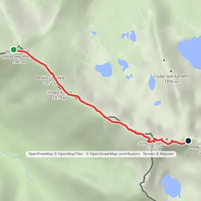 HardOne-dayMarkedKasprowy Wierch Zawratvia ŚwinicaElevation profile1 946–2 257 m3.6 kmascent 397 m≈ 1.5 h walkingunder 1 km from Skrajna Turnia
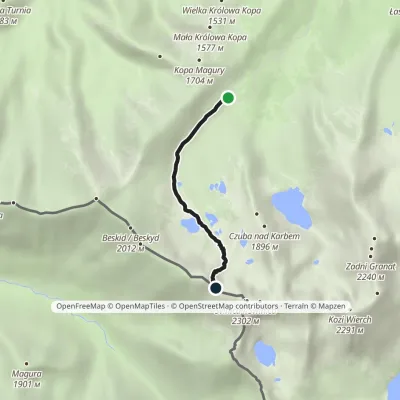 ModerateOne-dayMarkedHala Gąsienicowa Świnicka PrzełęczElevation profile1 518–2 044 m3.5 kmascent 526 m≈ 2 h walkingunder 1 km from Skrajna Turnia
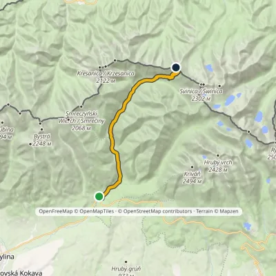 ModerateTwo-dayMarkedPodbanské Suché SaddleElevation profile928–1 946 m16.2 kmascent 1 020 m≈ 6 h walking1.1 km from Skrajna Turnia
Nearby attractions
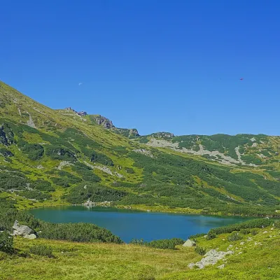 LakeZielony Staw GąsienicowyZakopaneunder 1 km from Skrajna TurniaZielony Staw Gąsienicowy, or simply Zielony Staw (the Green Tarn), is a glacial lake in the High Tatras at 1,672 m.
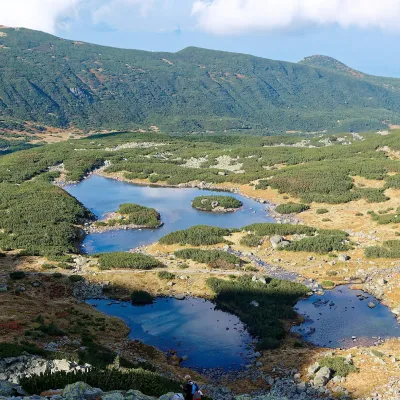 LakeGąsienicowe Ponds: Długi, Kurtkowiec, DwoistyZakopaneunder 1 km from Skrajna TurniaThe Gąsienicowe Ponds (Gąsienicowe Stawy) are the largest group of lakes in a single valley of the Polish Tatras.
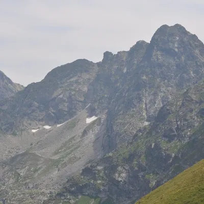 PeakŚwinicaZakopanealtitude 2 302 munder 1 km from Skrajna Turnia1 trail to the topŚwinica (Slovak: Svinica) is a 2,302 m summit on the main ridge of the Tatra Mountains, right on the Polish–Slovak border.
Craft nearby
All craft places Cheese dairies & pasturesFurtek's Shepherd's Huts, Kuźnice and KalatówkiZakopane5.8 km from Skrajna TurniaAbove Kuźnice — the southern edge of Zakopane where most hikes into the Western and High Tatras begin — the flocks are tended by baca Andrzej Staszel, nicknamed "Furtek".
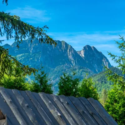 Koliby & Hutsul cuisineBąkowo Zohylina Wyźnio Highland TavernZakopane7.3 km from Skrajna TurniaBąkowo Zohylina Wyźnio is a regional highland tavern in Zakopane housed in a wooden "szałas" (shepherd-hut-style building) with a view of the Tatras.
 Cheese dairies & pasturesShepherd's Hut on Rusinowa PolanaBrzegi8 km from Skrajna TurniaRusinowa Polana is one of the most beautiful mountain glades in the Polish Tatras, and from May to October it is home to the bacówka (shepherd's hut) of baca Stanisław...
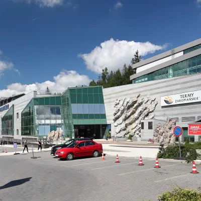 Water parks & thermal poolsTermy Zakopiańskie (Aqua Park Zakopane)Zakopane8.4 km from Skrajna TurniaTermy Zakopiańskie is a thermal water park right in Zakopane, on Jagiellońska Street, only a kilometre from Krupówki.
 Crafts & workshopsSztukomania Studio, Zakopane: handmade ceramics and pottery workshopsZakopane8.4 km from Skrajna TurniaSztukomania is a small ceramics and woodwork studio on Staszica street in Zakopane, a few minutes' walk from Krupówki.
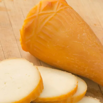 Cheese dairies & pasturesDom Oscypka, Krupówki, Zakopane: cheese-making workshop with a bacaZakopane8.4 km from Skrajna TurniaDom Oscypka ("House of Oscypek") is a workshop studio on Krupówki in the very centre of Zakopane, where you can see how highland cheese is made from milk and make some...
