San River
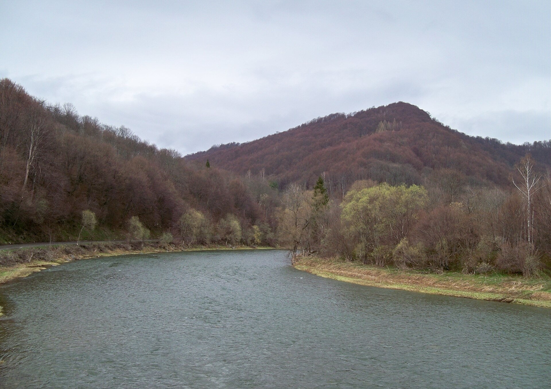
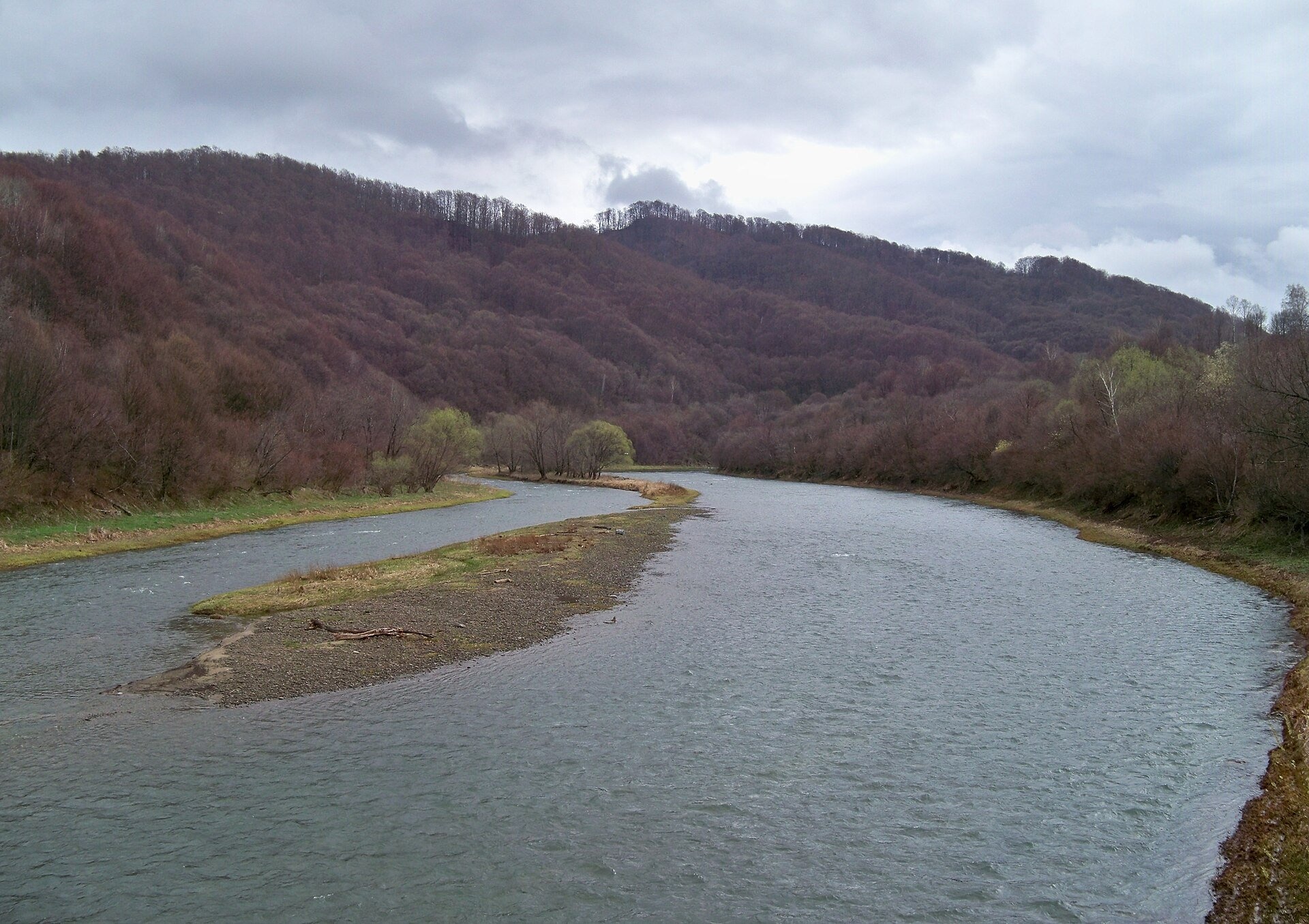
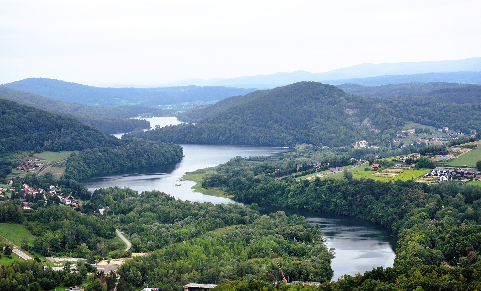
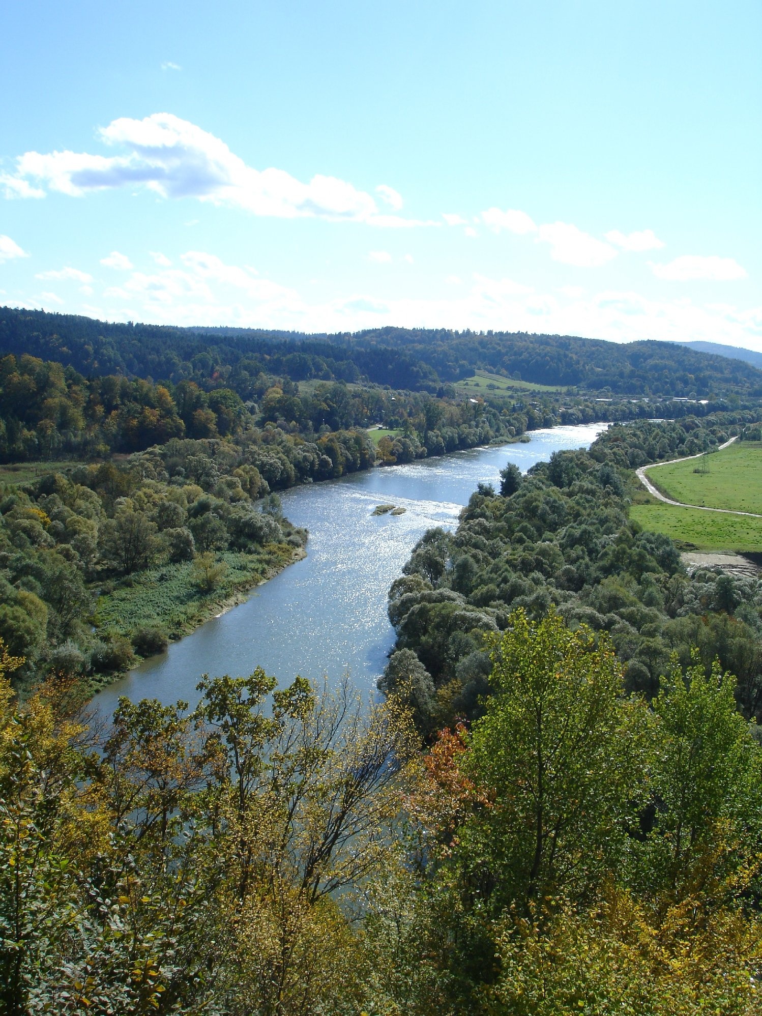
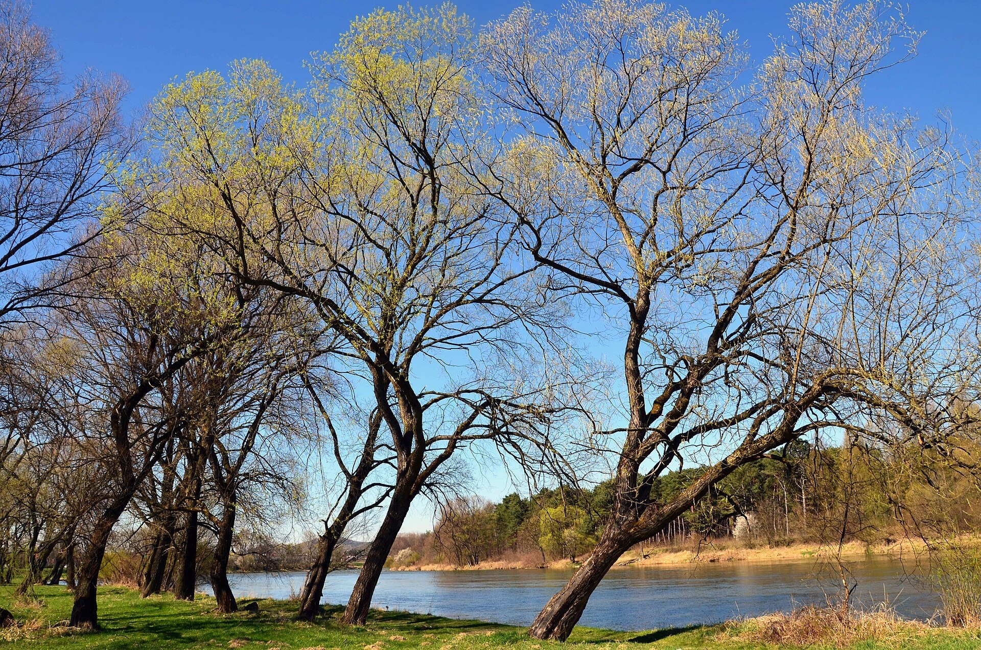
The San is a right-bank tributary of the Vistula and the largest of its Carpathian tributaries. The river is about 458 km long (Polish sources give 457.76 km, Ukrainian ones 444 km), and its basin covers 16,861 km², 14,390 km² in Poland and 2,471 km² in Ukraine. The San rises in the Bieszczady on the Ukrainian–Polish border, forms the border for 54 km and then flows through Poland across the Bieszczady, the foothills and the Sandomierz Basin to the Vistula. Its name is thought to be very old, perhaps Proto-Indo-European, meaning «swift stream».
The course: from source to mouth
The source of the San lies in Ukraine, at about 925 m on the south-eastern slopes of Piniaszkowy in the Western Bieszczady, near the village of Sianki. In 1996 the Ukrainian side hung a sign reading «Source of the San» at border marker No. 224, but that spring is in fact the source of the first left tributary; the main source is about 300 m to the south-west, in a forest clearing right by the border. From here to the great bend around Łysań near Smolnik the river forms the border between Poland and Ukraine.
The San then flows north-west through the Bieszczady and cuts a scenic gorge between the Otryt and Tołsta ridges. Further down it is dammed by two reservoirs, Lake Solina and Lake Myczkowce. At Solina stands Poland's highest dam, 81.8 m high and 664 m long; the reservoir, covering about 22 km² and up to 60 m deep, holds the largest volume in the country, 472 million m³. It was filled in 1968, flooding the villages of Solina, Teleśnica Sanna, Horodek, Sokole, Chrewt and most of Wołkowyja. Lake Myczkowce (about 2 km²) evens out the discharges of the Solina power station. Passing Lesko, Zagórz and Sanok, the river turns north through the foothills between the Przemyśl and Dynów uplands, turns east near Dynów and meanders to Przemyśl. Down to Przemyśl the San is a mountain river; beyond it flows through the wide Lower San valley full of oxbow lakes and joins the Vistula north-east of Sandomierz. Tributaries include the Solinka, Osława, Wisłok, Wiar, Wisznia, Lubaczówka and Tanew. The mean flow near the mouth is about 124 m³/s.
What to see along the river
- Lake Solina and the Solina Dam — the dam, Poland's largest reservoir and Bieszczady views.
- Lesko Synagogue and Jewish Cemetery — above the San valley in Lesko.
- Sobień Castle ruins — on a hill above a San loop between Lesko and Sanok.
- Royal Castle in Sanok and the Beksiński Gallery — on the high bank above the river.
- Museum of Folk Architecture in Sanok (open-air museum) — an open-air museum on the San bank.
On the water: rafting and kayaking
The San was once an important waterway. In 1851 Wincenty Pol wrote that rafts of plain logs went down from Lesko and small barges from Dynów downstream; larger vessels sailed the lower course, and Ulanów was the largest raftsmen's centre on the San. Today the San is one of the most popular kayaking rivers of Subcarpathia. The voivodeship's official tourism portal recommends the stretch from Sanok to Tyrawa Solna — 12 km, 2–3 hours, easy even for beginners and families with children — and the longer Dynów – Krasiczyn route (54 km, 1–2 days), which can be split at Słonne. Canoe and pontoon trips on the Sanok stretch are run by local operators.
Nature and safety
The upper San lies in the Bieszczady: on the Polish side a nature and history trail of Bieszczady National Park follows the valley, and on the Ukrainian bank is the Nadsiansky Regional Landscape Park. The banks of the upper river are empty: after wartime and post-war expulsions, including Operation Vistula, the Boyko and Lemko villages along the San disappeared. The San is prone to floods: the largest came in July 1980, when 1,500 m³/s flowed into Lake Solina, and big floods also struck in 1913, 2008 and 2010. During downpours the water in the mountain section rises fast, so do not camp or leave gear on gravel bars. In the Bieszczady, mountain rescue is GOPR: 985 or +48 601 100 300; the general emergency number is 112.
Nearby: peaks, trails, huts
Closest to the upper river is the Nature and History Trail "In the Upper San Valley". From the San valley in Zagórz the trail Krysowa – Zagórz begins, and from Sanok Sanok – Chryszczata climbs into the hills.
Photos: Panek, CC BY-SA 4.0, Wikimedia Commons; Silar, CC BY-SA 4.0, Wikimedia Commons; Silar, CC BY-SA 3.0, Wikimedia Commons; Prodi6520, Public domain, Wikimedia Commons.
Getting there from Ukraine
Border crossings
- Krakovets – Korczowa — road, 24/7
- Shehyni – Medyka — road, 24/7 Pedestrian crossing is not confirmed by the Ukrainian border service — check dpsu.gov.ua before the trip.
- Smilnytsia – Krościenko — road, 24/7
- Hrushiv – Budomierz — road, 24/7
- Mostyska – Przemyśl (rail) — rail, 24/7
By car
Lviv – Sanok ≈168 km, ≈3 h 20 min without queues: road to Shehyni → Shehyni – Medyka checkpoint → Przemyśl → DK28 via Bircza to Sanok (≈83 km, ≈1 h 45 min from the border). Alternative via Krakovets – Korczowa: A4 to the Radymno exit, DK77 to Przemyśl and DK28 (≈185 km from Lviv, ≈3 h 25 min). For the Bieszczady proper, Smilnytsia – Krościenko is handier: Lviv – Sambir – Staryi Sambir – border, then DK84 via Ustrzyki Dolne to Sanok (≈203 km, ≈5 h; ≈57 km from the border). From Krościenko to Ustrzyki Górne by DW896 ≈53 km (≈1 h 40 min; ≈200 km and ≈4 h 50 min from Lviv), to Wetlina by DW896 and DW897 ≈69 km (≈216 km and ≈5 h from Lviv). From Sanok: Ustrzyki Górne ≈82 km (DK84 via Lesko, then DW896, ≈1 h 35 min), Wetlina ≈72 km (DK84 to Lesko, DW894 via Baligród and Cisna, DW897, ≈1 h 20 min).
Checked 23.10.2026; border crossing hours and timetables change — check before you travel.
Location on the map
Comments
Trails nearby
All trails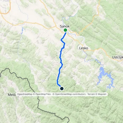 HardMulti-dayMarkedSanok ChryszczataElevation profile291–998 m34.2 kmascent 1 314 m≈ 11 h walking1.2 km from San River
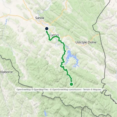 HardMulti-dayMarkedKrysowa ZagórzElevation profile306–924 m60.8 kmascent 1 500 m6.9 km from San River
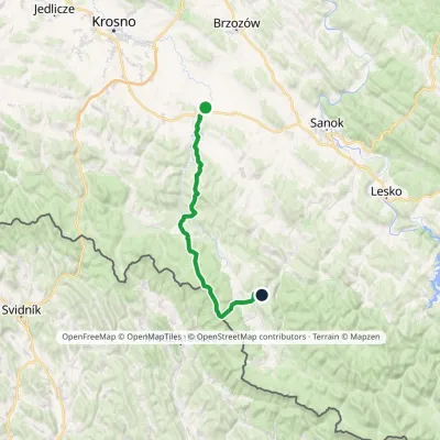 HardMulti-dayMarkedBesko KomańczaElevation profile290–848 m48.1 kmascent 1 190 m19 km from San River
Nearby attractions
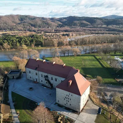 CastleRoyal Castle in Sanok and the Beksiński GallerySanokunder 1 km from San RiverThe Royal Castle in Sanok (Zamek Królewski w Sanoku) stands on a hill above the San in the centre of town and is now home to the Historical Museum.
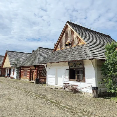 MuseumMuseum of Folk Architecture in Sanok (open-air museum)Sanok1.1 km from San RiverThe Museum of Folk Architecture in Sanok (Muzeum Budownictwa Ludowego w Sanoku) is Poland's largest open-air museum by number of buildings and one of the best places...
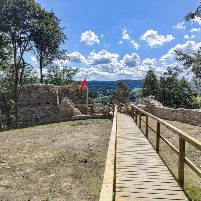 CastleSobień Castle ruinsManasterzec9.6 km from San RiverSobień is the ruin of a medieval castle on a wooded hill above the San near the village of Manasterzec, a few kilometres north of Lesko.
Craft nearby
All craft places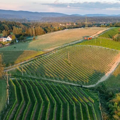 Wine & tastingsWinnica Kmiecia in Zahutyń near Sanok: tastings and eventsZahutyń4.3 km from San RiverWinnica Kmiecia is a young winery in the village of Zahutyń between Sanok and Zagórz, where the Low Beskids meet the Bieszczady.
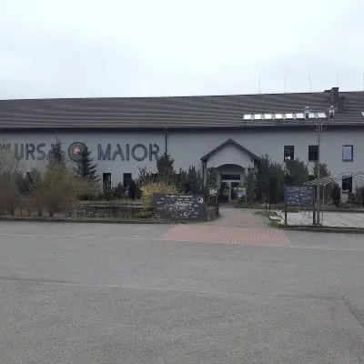 Craft beer & breweriesUrsa Maior Brewery, Uherce MineralneUherce Mineralne18 km from San RiverUrsa Maior, or the Bieszczady Brewery (Bieszczadzka Wytwórnia Piwa), is an independent craft microbrewery in the village of Uherce Mineralne, between Lesko and...
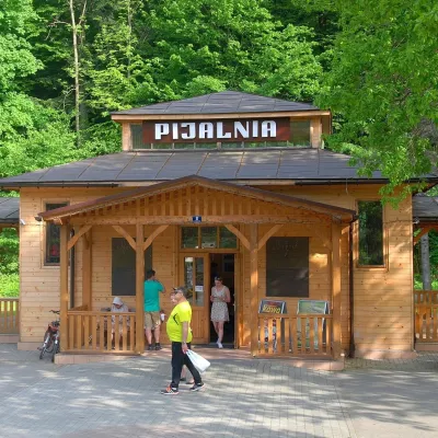 Water parks & thermal poolsRymanów-Zdrój: pump room, Tytus and Klaudia waters, graduation towerRymanów-Zdrój26 km from San RiverRymanów-Zdrój is a spa in the valley of the Tabor river in the Beskid Niski, about 4 km south of the town of Rymanów.
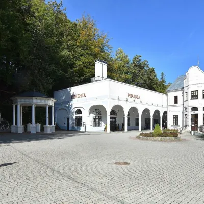 Water parks & thermal poolsIwonicz-Zdrój: mineral-water pump room, pool and salt caveIwonicz-Zdrój30 km from San RiverIwonicz-Zdrój is the largest and oldest spa in the Podkarpackie region, a quiet little town in wooded hills south of Krosno, on the threshold of the Low Beskids.
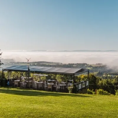 Wine & tastingsWinnica Widokowa, Kombornia: wine with a view of the BeskidsWola Komborska31 km from San RiverWinnica Widokowa is a family vineyard on a hill above the village of Kombornia, between Krosno and Brzozów.
 Craft producersBieszczadzkie Smaki, Smolnik: bread, liqueurs, preservesSmolnik35 km from San RiverBieszczadzkie Smaki (“Bieszczady Flavours”) is a family producer of natural foods in the village of Smolnik on the Osława river, Komańcza municipality, on the western...
