Revúca
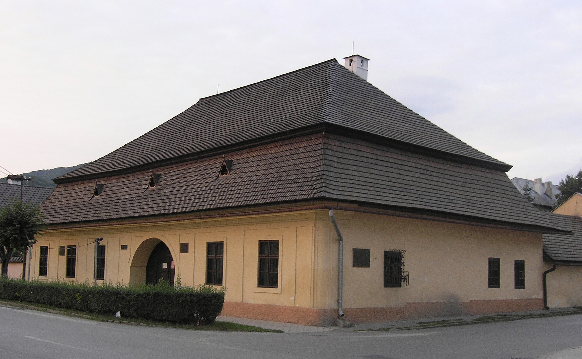
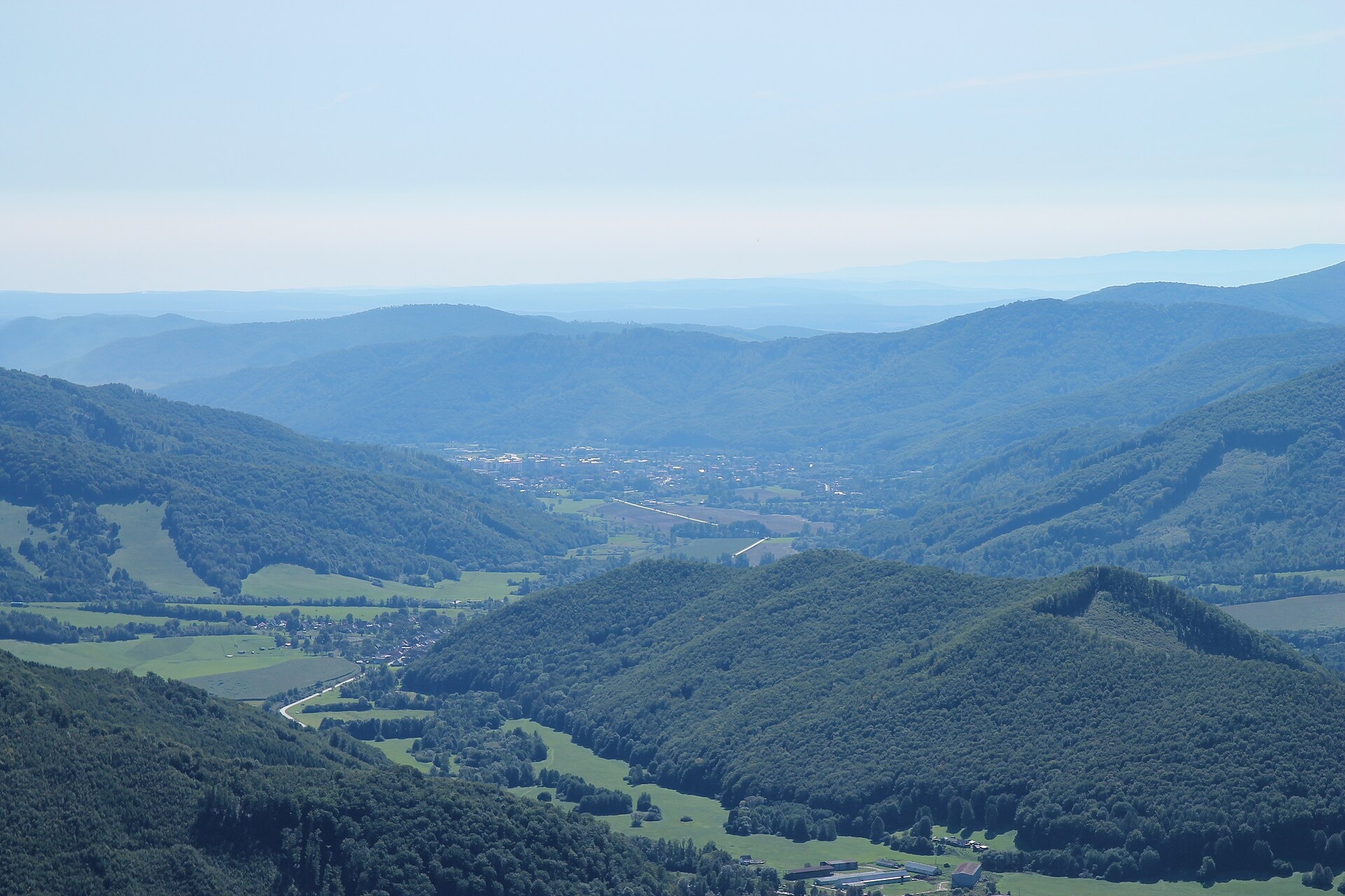
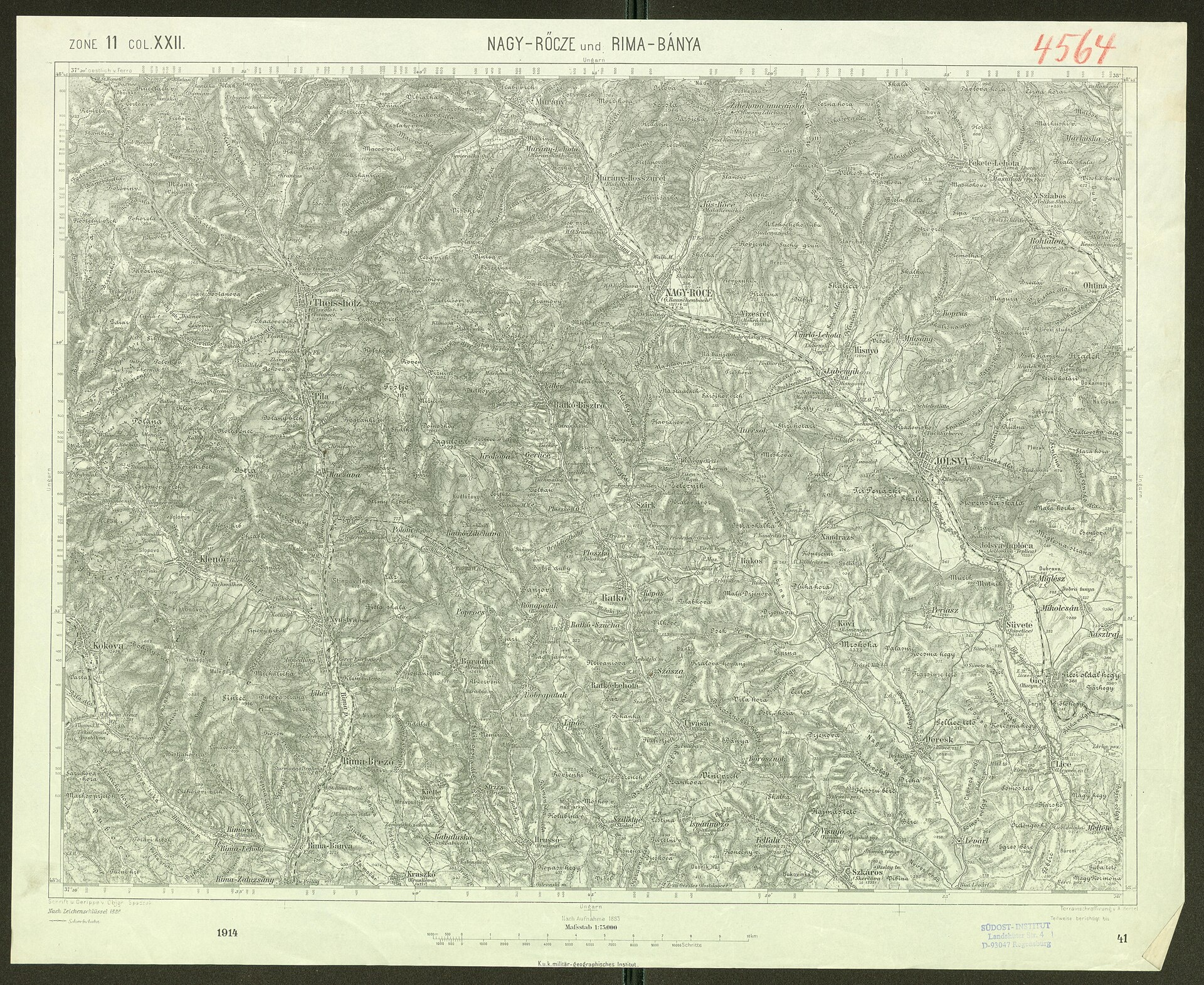
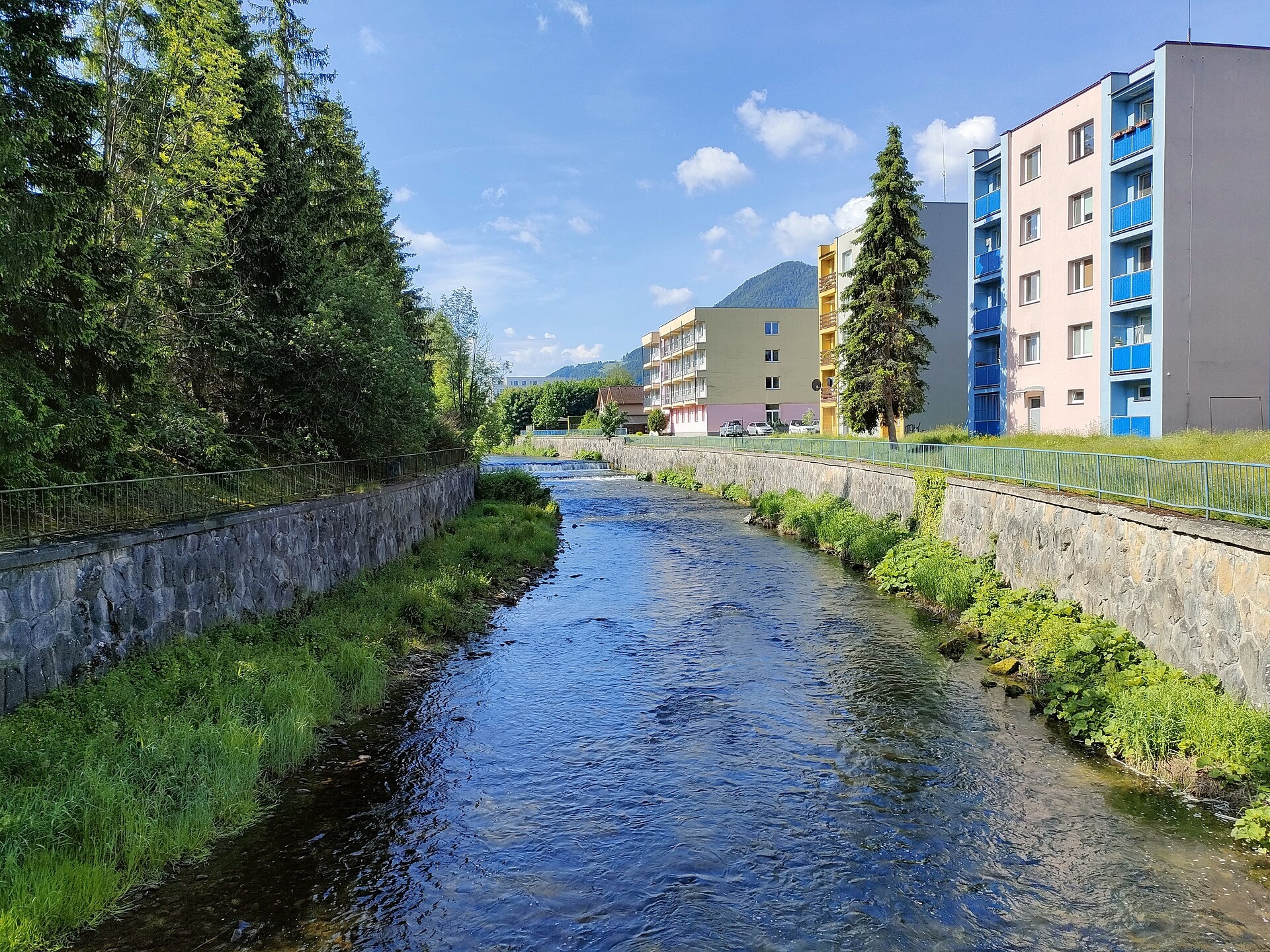
Photos: Kwakinek architect unknown, CC BY-SA 3.0 (Wikimedia Commons); Lucie Sýkorová, CC BY-SA 4.0 (Wikimedia Commons); Draceane, CC BY-SA 4.0 (Wikimedia Commons); Leibniz-Institut für Ost- und Südosteuropaforschung (IOS) GeoPortOst, Public domain (Wikimedia Commons); Mineralysk, CC0 (Wikimedia Commons); Mineralysk, CC0 (Wikimedia Commons)
Revúca is a town in Slovakia, serving as the administrative center of Revúca District in the Banská Bystrica Region. The town lies at an elevation of 318 meters in the valley of the Zdychava River, on the western edge of the Slovak Ore Mountains. Revúca is a notable locality in the historical Gemer region, surrounded by scenic mountain landscapes.
The earliest written mention of Revúca dates back to 1243. Over the centuries, the town developed as a center of iron ore mining and crafts. In the second half of the 19th century, Revúca became a hub of Slovak national revival, with the first Slovak-language high school founded here in 1862, though it was closed in 1874.
Revúca is known for its historical heritage, including the buildings of the Slovak Evangelical Grammar School, the late Gothic Church of Saint Lawrence from the 15th century, and the classicist Evangelical Church built in 1785. The town is a starting point for hikes into the Muránska planina National Park, with Muráň Castle and Veľká Lúka on the Muránska planina located nearby.
Visitors will find over 30 hiking trails in and around Revúca, such as "Rudná magistrála: Kadák – Stolica", "Pavol Jozef Šafárik Trail: Stolica – Rožňava", and "Červená Skala – Muránska Zdychava". Mountain enthusiasts can climb the Stolica peak, while those interested in local crafts can visit the Blueberry Garden in Ratkovské Bystré for self-picking and aronia juice.
Getting there from Ukraine
From Uzhhorod to Brezno ≈274 km, ≈3 h 50 min without queues: Uzhhorod – Vyšné Nemecké → I/19 to Košice → D1 via Prešov and Poprad to the exit near Liptovský Hrádok → I/18 and I/72 over the Čertovica Pass to Brezno. To Banská Bystrica ≈322 km, ≈4 h 30 min: D1 to Ružomberok, then I/59 via Donovaly. From Lviv: to Brezno via Uzhok and Ubľa ≈498 km (≈7 h 45 min) or through Poland ≈554 km (≈7 h 05 min); to Banská Bystrica through Poland (Kraków – Chyżne – Trstená – Dolný Kubín – Ružomberok) ≈535 km, ≈7 h 15 min. The D1 requires an e-vignette (eznamka.sk).
Sources: Wikipedia, Wikidata, OpenStreetMap, Karpaty.rocks data. More on Wikipedia
What's nearby
Trails nearby
All trails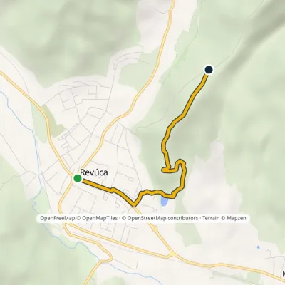 EasyOne-dayMarkedRevúca ÚkorováElevation profile315–524 m3.5 kmascent 206 m≈ 1.5 h walkingunder 1 km from the centre
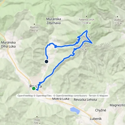 ModerateTwo-dayMarkedRevúca RevúčkaElevation profile317–1 409 m18.3 kmascent 1 111 m≈ 7 h walkingunder 1 km from the centre
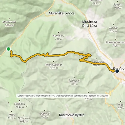 ModerateOne-dayMarkedRevúca Sedlo DielikElevation profile312–968 m14.1 kmascent 396 m≈ 4.5 h walkingunder 1 km from the centre
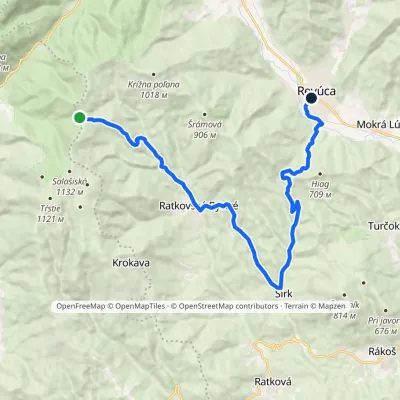 ModerateTwo-dayMarkedSedlo Korimovo RevúcaElevation profile305–960 m21 kmascent 485 m≈ 6 h walkingunder 1 km from the centre
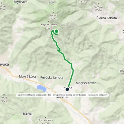 EasyOne-dayMarkedChyžné Dlhý diel, hunting hutElevation profile298–957 m8.4 kmascent 1 m≈ 2 h walking5.5 km from the centre
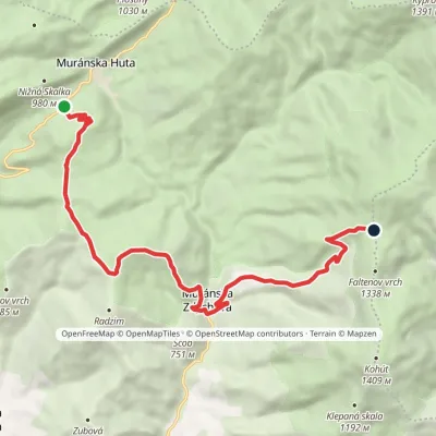 ModerateOne-dayMarkedSedlo Predná Hora Faltenovo sedlovia OrlováElevation profile526–1 259 m12.9 kmascent 972 m≈ 5 h walking6.3 km from the centre
Peaks nearby
All peaks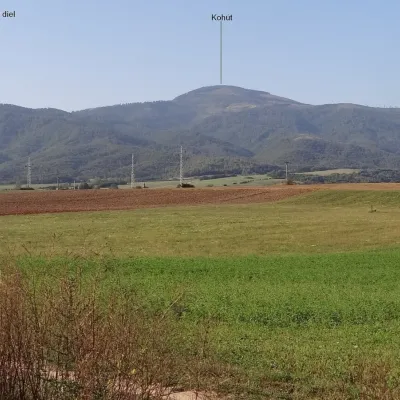 PeakKohútRevúcaaltitude 1 409 m7.1 km from the centreKohút (Slovak for "rooster"; Hungarian Kakas) is the second-highest peak of the Stolica Mountains (Stolické vrchy), part of the Slovak Ore Mountains, at 1409 m.
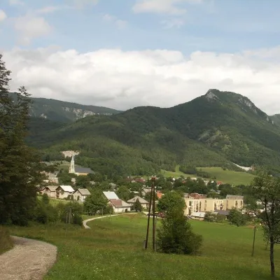 PeakCigánkaMuráňaltitude 935 m9.3 km from the centreCigánka is a 935 m summit on the south-eastern edge of the Muránska planina plateau, in the Spiš-Gemer Karst, part of the Slovak Ore Mountains.
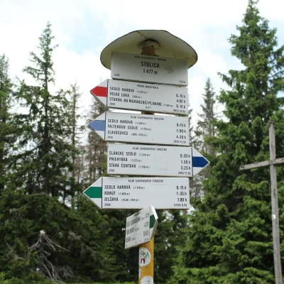 PeakStolicaMuránska Zdychavaaltitude 1 476 m12 km from the centre4 trails to the topStolica (Hungarian Sztolica) is the highest peak of the Stolické vrchy and of the entire Slovak Ore Mountains at 1,476 m.
What to visit
All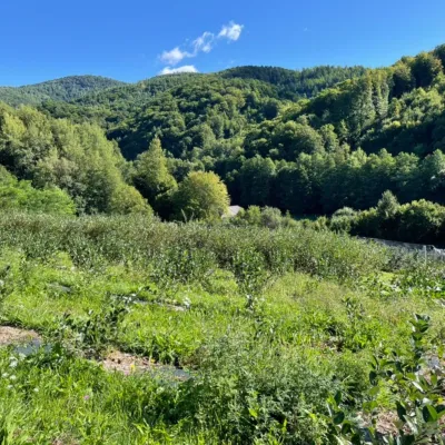 Eco farmsČučoriedková záhrada: pick-your-own blueberries and aronia juiceRatkovské Bystré6.4 km from the centreHere in 2010 the owners’ family planted the first Canadian blueberry bushes on a small plot — and gradually grew them into the Čučoriedková záhrada (Blueberry Garden).
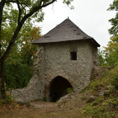 CastleMuráň CastleMuráň9.4 km from the centreMuráň Castle (Muránsky hrad, officially Muráň) is the ruin of a medieval castle on the summit of Cigánka (935 m) at the southern edge of the Muránska planina plateau,...
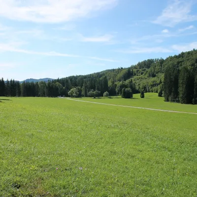 Mountain meadowVeľká lúka on Muránska planinaMuráňaltitude 887 m11 km from the centreVeľká lúka («the Great Meadow») is a huge mountain meadow on the limestone Muránska planina plateau north of the village of Muráň, in the south-eastern part of the...
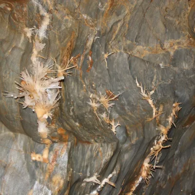 NatureOchtinská Aragonite CaveOchtiná14 km from the centreOchtinská Aragonite Cave (Ochtinská aragonitová jaskyňa) is one of the most extraordinary caves in Slovakia.
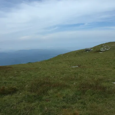 Mountain meadowKráľova hoľa — mountain meadows of the Low TatrasŠumiacaltitude 1 946 m22 km from the centreKráľova hoľa (1,946 m) is a broad, treeless «hoľa» — a mountain meadow above the tree line — at the eastern end of the main ridge of the Low Tatras.
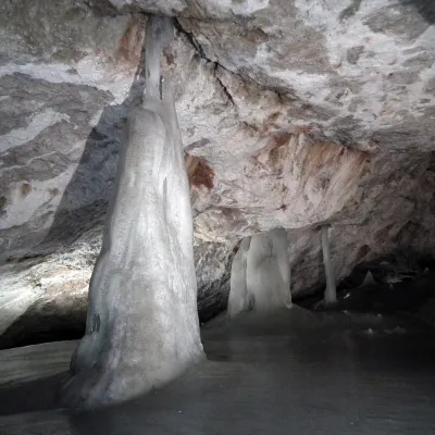 NatureDobšinská Ice CaveDobšiná25 km from the centreDobšinská Ice Cave (Dobšinská ľadová jaskyňa) is one of the most important ice caves in the world. Since 2000 it has been on the UNESCO World Natural Heritage list.
Craft nearby
All craft places Cheese dairies & pasturesSalaš Zbojská: sheep’s cheese, bryndza and žinčica on the passTisovec20 km from the centreThe Zbojská pass lies at about 740 metres in the forests between Brezno and Tisovec, on the edge of the Hron valley and the Muránska planina plateau.
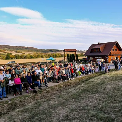 Cheese dairies & pasturesSalaš pod Maginhradom: Gemer sheep’s cheese and the Mitrovanie feastVeľké Teriakovce29 km from the centreAcross the road rises Maginhrad hill: in the 15th century a castle stood there that served as a Hussite fortress, and the Romantic poet Ján Botto dedicated a ballad to...
Huts, shelters and springs nearby
Getting there from Ukraine
Border crossings
- Uzhhorod – Vyšné Nemecké — road, 24/7
- Malyi Bereznyi – Ubľa — road, 24/7 For cars and buses; pedestrians not confirmed by the Ukrainian border service, lorries up to 3.5 t.
- Mali Selmentsi – Veľké Slemence (pedestrian) — pedestrian, 09:00–21:00 Kyiv time Pedestrians and cyclists only; inconvenient for the Tatras without onward transport.
- Chop – Čierna nad Tisou (rail) — rail, 24/7
By car
From Uzhhorod to Brezno ≈274 km, ≈3 h 50 min without queues: Uzhhorod – Vyšné Nemecké → I/19 to Košice → D1 via Prešov and Poprad to the exit near Liptovský Hrádok → I/18 and I/72 over the Čertovica Pass to Brezno. To Banská Bystrica ≈322 km, ≈4 h 30 min: D1 to Ružomberok, then I/59 via Donovaly. From Lviv: to Brezno via Uzhok and Ubľa ≈498 km (≈7 h 45 min) or through Poland ≈554 km (≈7 h 05 min); to Banská Bystrica through Poland (Kraków – Chyżne – Trstená – Dolný Kubín – Ružomberok) ≈535 km, ≈7 h 15 min. The D1 requires an e-vignette (eznamka.sk).
Checked 23.10.2026; border crossing hours and timetables change — check before you travel.
