Porumbacu de Sus
Sibiu County · Romania
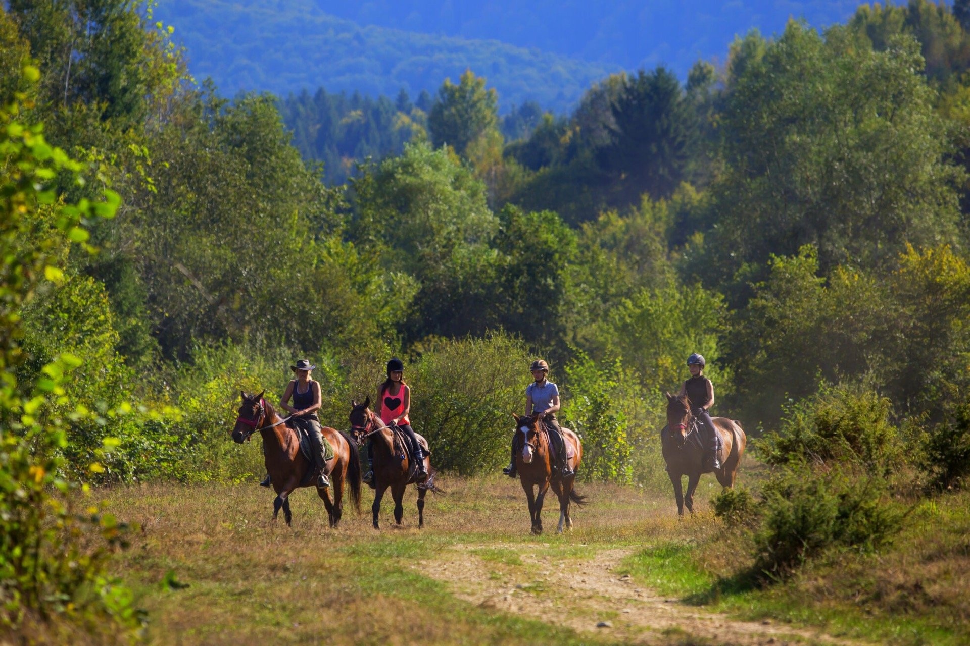
Porumbacu de Sus is a village in Romania.
Population: 822 (2021).
Here and nearby on the site: 1 craft place.
Facts: Wikidata, OpenStreetMap. More on Wikipedia
Comments
Travellers’ experience: reports, tips, questions.
Share your experienceSign in to write a comment, an «I was here» report or ask a question. There are no anonymous comments — that keeps the conversation honest.
No ads, insults or other people’s contacts. The first comment of a new author is checked by hand.How we handle data
No one has written here yet. Be the first — your experience helps others.
What's nearby
Trails nearby
All trails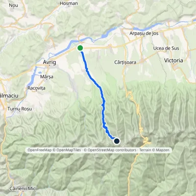 Hard1–2 daysMarkedPorumbacu de Jos Cleopatra SaddleElevation profile398–2 361 m26 kmascent 1 962 m≈ 10 h walkingunder 1 km from the centre
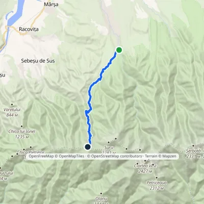 ModerateOne-dayMarkedAvrig Valley Făgăraș main ridgevia Suru HutElevation profile553–1 945 m12.6 kmascent 1 390 m≈ 5.5 h walking5.7 km from the centre
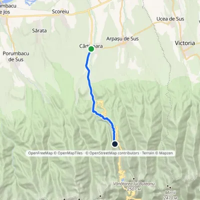 ModerateOne-dayMarkedCârțișoara Bâlea Cascadă HutElevation profile495–1 242 m12 kmascent 749 m≈ 4 h walking7.3 km from the centre
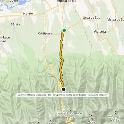 ModerateOne-dayMarkedArpașu de Sus Buteanu RidgeElevation profile490–1 753 m12.2 kmascent 1 264 m≈ 5 h walking11 km from the centre
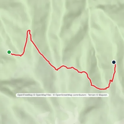 EasyOne-dayMarkedBârcaciu Hut Negoiu HutElevation profile1 506–1 641 m6.3 kmascent 272 m≈ 2 h walking11 km from the centre
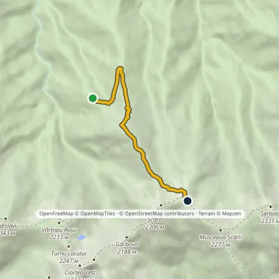 HardOne-dayMarkedBârcaciu Hut Scării SaddleElevation profile1 517–2 147 m5.7 kmascent 636 m≈ 2.5 h walking11 km from the centre
Peaks nearby
All peaks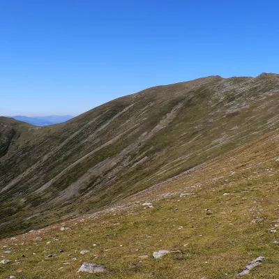 PeakSurualtitude 2 281 m14 km from the centre1 trail to the topSuru (Romanian: Vârful Suru) is a 2,281 m summit in the western part of the Făgăraș Mountains in the Southern Carpathians, in Sibiu County.
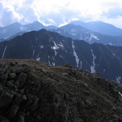 PeakȘerbotaaltitude 2 331 m15 km from the centre2 trails to the topȘerbota (Romanian: Vârful Șerbota, Hungarian: Serbota-csúcs) is a 2,331 m summit on the main ridge of the Făgăraș Mountains in the Southern Carpathians, west of Negoiu...
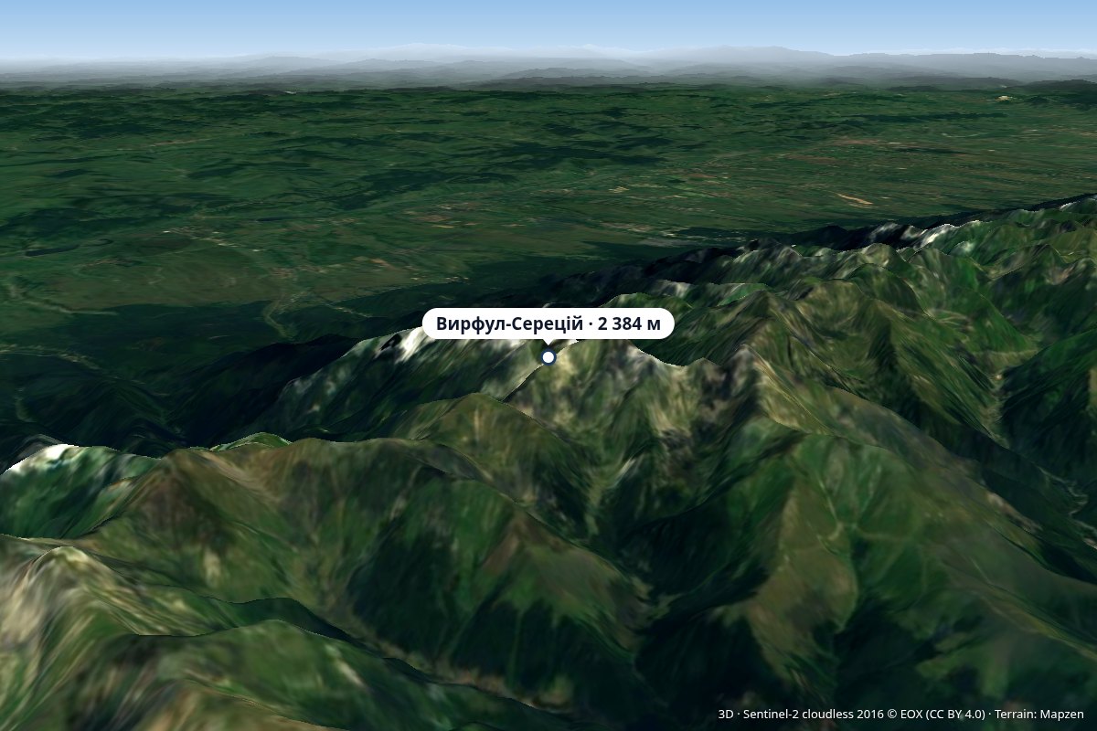 PeakVârful Sărățiialtitude 2 384 m15 km from the centreVârful Sărății (Romanian: Vârful Sărății) is a 2,384 m peak according to OpenStreetMap (Wikidata gives 2,311 m without source) on the main ridge of the Făgăraș...
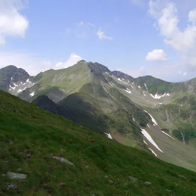 PeakCiorteaaltitude 2 427 m16 km from the centreCiortea (Romanian Muntele Ciortea, German Hohe Scharte, Hungarian Csortea) is a mountain in the western Făgăraș with three close summits, the highest of which, Ciortea...
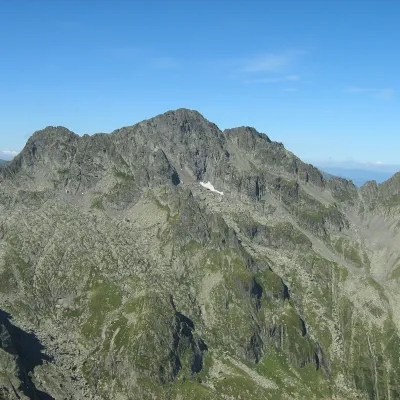 PeakNegoiu Peakaltitude 2 535 m16 km from the centre1 trail to the topNegoiu Peak (Romanian: Vârful Negoiu, Hungarian: Negoj-csúcs) is a 2,535 m summit on the main ridge of the Făgăraș Mountains in the Southern Carpathians.
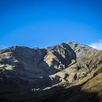 PeakLespezialtitude 2 517 m17 km from the centre1 trail to the topLespezi (Romanian: Vârful Lespezi) is a 2,517 m summit on the main ridge of the Făgăraș Mountains in the Southern Carpathians, in Sibiu County on the border with Argeș.
What to visit
All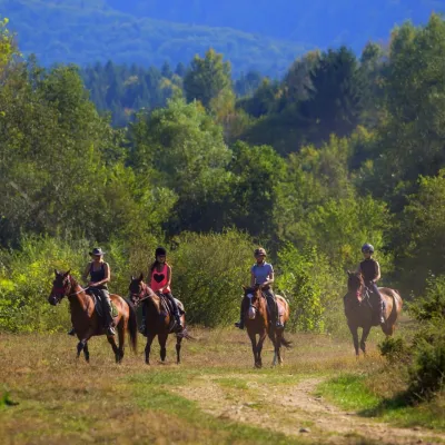 Horse ridingHermannstadt Mountain Horses: horse rides below the FăgărașPorumbacu de Sus4.7 km from the centreHorses in the Avrig Valley below the Făgăraș Hermannstadt Mountain Horses (Hermannstadt is the old German name of Sibiu) is a riding stable in the Avrig Valley (Valea...
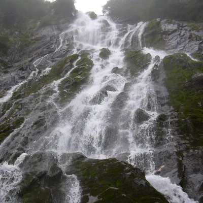 WaterfallBâlea Waterfall (Cascada Bâlea)Făgăraș Mountains15 km from the centreheight 60 m1 514 m above sea levelBâlea Waterfall (Cascada Bâlea), also called Urlătoarea Bâlei because of the roar of the water, lies on the northern, Sibiu side of the Făgăraș Mountains, between the...
Craft nearby
All craft places
Huts, shelters and springs nearby
Getting there from Ukraine
Border crossings
- Porubne – Siret — road and pedestrian, 24/7
- Diakivtsi – Racovăț — road and pedestrian, 24/7 No freight traffic.
- Krasnoilsk – Vicovu de Sus — road and pedestrian, 08:00–20:00 Cars up to 3.5 t and pedestrians only; not 24/7.
- Solotvyno – Sighetu Marmației — road and pedestrian, 24/7 Passenger traffic only: vehicles up to 3.5 t with up to 9 seats, pedestrians.
- Diakove – Halmeu — road, 24/7 No pedestrian crossing.
By car
Rakhiv – Sibiu ≈390 km, ≈5 h 33 min (via Solotvyno – Sighetu Marmației); Ivano-Frankivsk – Sibiu ≈524 km, ≈7 h 52 min (via Solotvyno – Sighetu Marmației); Chernivtsi – Sibiu ≈435 km, ≈8 h 00 min (via Diakivtsi – Racovăț). Times without border queues, our road routing (GraphHopper, OSM).
Checked 03.11.2026; border crossing hours and timetables change — check before you travel.
