Șerbota
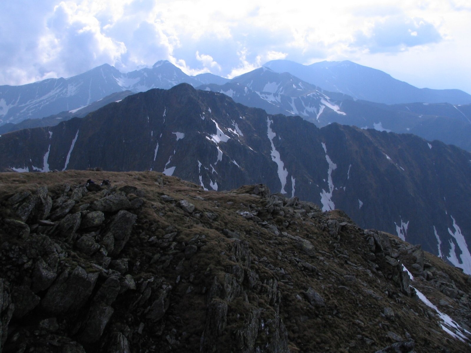
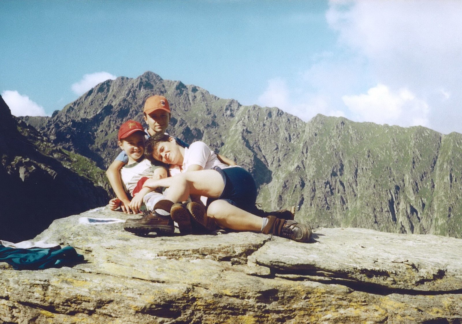
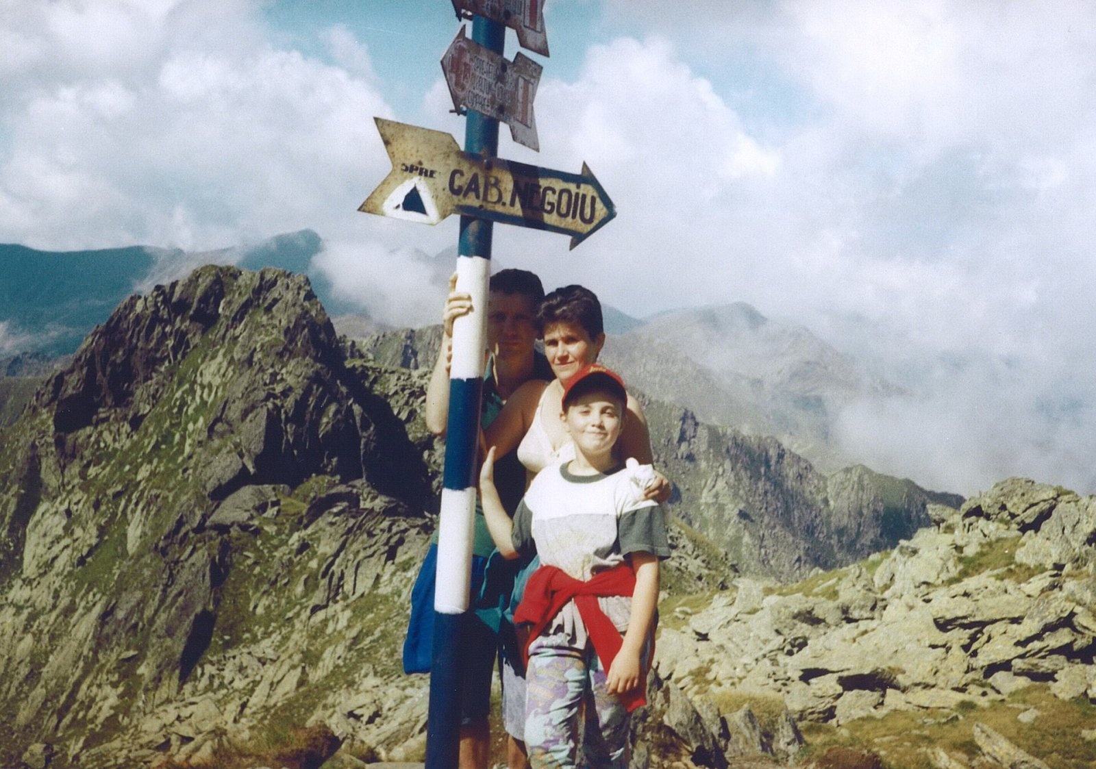
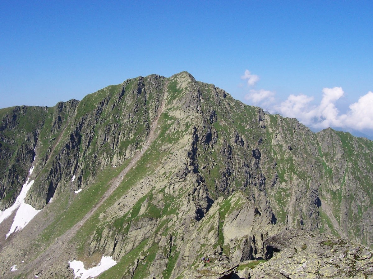
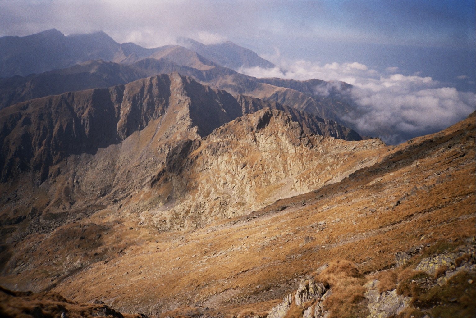
Șerbota (Romanian: Vârful Șerbota, Hungarian: Serbota-csúcs) is a 2,331 m summit on the main ridge of the Făgăraș Mountains in the Southern Carpathians, west of Negoiu, Romania's second-highest mountain. The ridge here carries the border of Sibiu and Argeș counties. The nearest villages at the northern foot, Porumbacu de Sus and Cârțișoara, are 15–16 km away in the Făgăraș Depression.
Hungarian Wikipedia notes that from the north-west Șerbota looks triangular, while from the north-east two small rounded tops are visible at equal distances from the main summit. Romanian Wikipedia stresses that Șerbota «guards» the hardest marked route of the Făgăraș and of all the Romanian Carpathians — the Custura Sărății ridge descending east from the summit.
How to get there / routes
From the north the blue stripe climbs to the summit from the Negoiu mountain hut (1,546 m): according to Hungarian and Polish Wikipedia, it is a 2–4 hour walk, the last section following a rocky and partly exposed northern ridge. From the west and east the summit is crossed by the red stripe of the Făgăraș main ridge (part of the European path E8).
According to the muntii-nostri.ro route description, there are two options east of Șerbota. Experienced hikers take Custura Sărății — «a wild world of stone» with dizzying drops and several chained chimneys — to the Cleopatra saddle below Negoiu. Others bypass this rocky section on the yellow stripe through the Căldarea Pietroasă cirque to the same saddle. The western cirque of Șerbota, the description notes, has a spring and a place to pitch a tent.
What you can see from the summit
From the summit you see neighbouring Negoiu with its cirques, the sharp Custura Sărății ridge and, to the west, the main ridge to the peaks of Scara, Ciortea, Budislavu and Suru. To the north the mountains drop steeply to the Făgăraș Depression.
Nature and history
On the northern slope of Șerbota, according to German Wikipedia, lies the Șerbota waterfall; the stream of the same name flows down to Porumbacu. In the early 20th century the Transylvanian Saxon entomologist Karl Petri collected a previously unknown soldier beetle on the western slope of the peak and named it Malthodes serbotae after the mountain.
Safety, season and rules
Custura Sărății is for the experienced only: drops, chained chimneys and serious exposure; do not go there in wet weather or fog, take the bypass through Căldarea Pietroasă instead (though there too, according to muntii-nostri.ro, loose stones may fall if someone is climbing above). In winter the slopes near the summit are avalanche-prone: according to Hungarian Wikipedia, in March 2020 an avalanche near the summit swept away a group of 11 hikers, one of whom died. The Făgăraș ridge is not a national park but the Natura 2000 site «Munții Făgăraș» (ROSCI0122) with its own regulations: stay on marked trails and take your litter with you. The high-mountain section of the Transfăgărășan road (DN7C) closes every cold season; as of November 2026 no reopening date has been announced — check CNAIR notices. In winter the high ridges carry a serious avalanche risk — follow the avalanche bulletin of Romania's National Meteorological Administration (ANM) on meteoromania.ro.
Bears are common in the Romanian Carpathians. Salvamont rescuers advise not to hike alone, to talk loudly so that an animal hears you in advance, to keep your distance and never feed wildlife, and to store food in sealed containers away from your tent; if you meet a bear, do not run and back away slowly without turning your back.
Mountain rescue: Salvamont national dispatch 0SALVAMONT = 0725 826 668 and the emergency number 112.
Interesting facts
- The Custura Sărății ridge east of Șerbota is considered the hardest marked route of the Romanian Carpathians.
- The beetle Malthodes serbotae is named after the peak.
Photos: Op, CC BY-SA 4.0; Hardsr, Public domain; Hardsr, Public domain; Mitrutpopoiu, Public domain; Cristian Bortes, CC BY 2.0 — Wikimedia Commons.
Getting there from Ukraine
Border crossings
- Porubne – Siret — road and pedestrian, 24/7
- Diakivtsi – Racovăț — road and pedestrian, 24/7 No freight traffic.
- Krasnoilsk – Vicovu de Sus — road and pedestrian, 08:00–20:00 Cars up to 3.5 t and pedestrians only; not 24/7.
- Solotvyno – Sighetu Marmației — road and pedestrian, 24/7 Passenger traffic only: vehicles up to 3.5 t with up to 9 seats, pedestrians.
- Diakove – Halmeu — road, 24/7 No pedestrian crossing.
By car
Rakhiv – Sibiu ≈390 km, ≈5 h 33 min (via Solotvyno – Sighetu Marmației); Ivano-Frankivsk – Sibiu ≈524 km, ≈7 h 52 min (via Solotvyno – Sighetu Marmației); Chernivtsi – Sibiu ≈435 km, ≈8 h 00 min (via Diakivtsi – Racovăț). Times without border queues, our road routing (GraphHopper, OSM).
Checked 03.11.2026; border crossing hours and timetables change — check before you travel.
Location on the map
Water and shelter nearby
- Spring below Puha (north-east slope), 1 507 m1.7 km · Not verified · 1 507 m
- Refugiul Scara II (2023)2 km · Not verified · 2 146 m
- Spring below Puha (south slope)2.1 km · Not verified · 2 084 m
- Spring below Puha (north-east slope), 1 470 m2.3 km · Not verified · 1 470 m
- Spring below Călțun Spring (south-west slope)2.4 km · Not verified · 2 171 m
- Negoiu Hut2.4 km · Standing · 1 540 m
- Spring below Călțun Spring (south slope)2.4 km · Not verified · 2 192 m
- Spring below Puha (north-west slope)2.4 km · Not verified · 2 008 m
- Călțun Spring, 2 165 m2.8 km · Not verified · 2 165 m
Wildlife nearby
AllComments
Nearby attractions
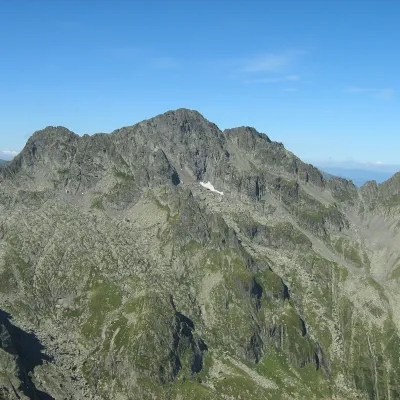 PeakNegoiu Peakaltitude 2 535 m1.5 km from ȘerbotaNegoiu Peak (Romanian: Vârful Negoiu, Hungarian: Negoj-csúcs) is a 2,535 m summit on the main ridge of the Făgăraș Mountains in the Southern Carpathians.
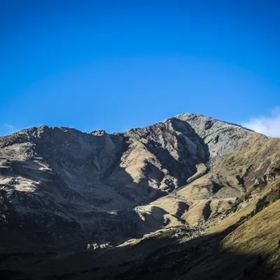 PeakLespezialtitude 2 517 m2.6 km from ȘerbotaLespezi (Romanian: Vârful Lespezi) is a 2,517 m summit on the main ridge of the Făgăraș Mountains in the Southern Carpathians, in Sibiu County on the border with Argeș.
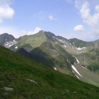 PeakCiorteaaltitude 2 427 m4.7 km from ȘerbotaCiortea (Romanian Muntele Ciortea, German Hohe Scharte, Hungarian Csortea) is a mountain in the western Făgăraș with three close summits, the highest of which, Ciortea...
