Lespezi
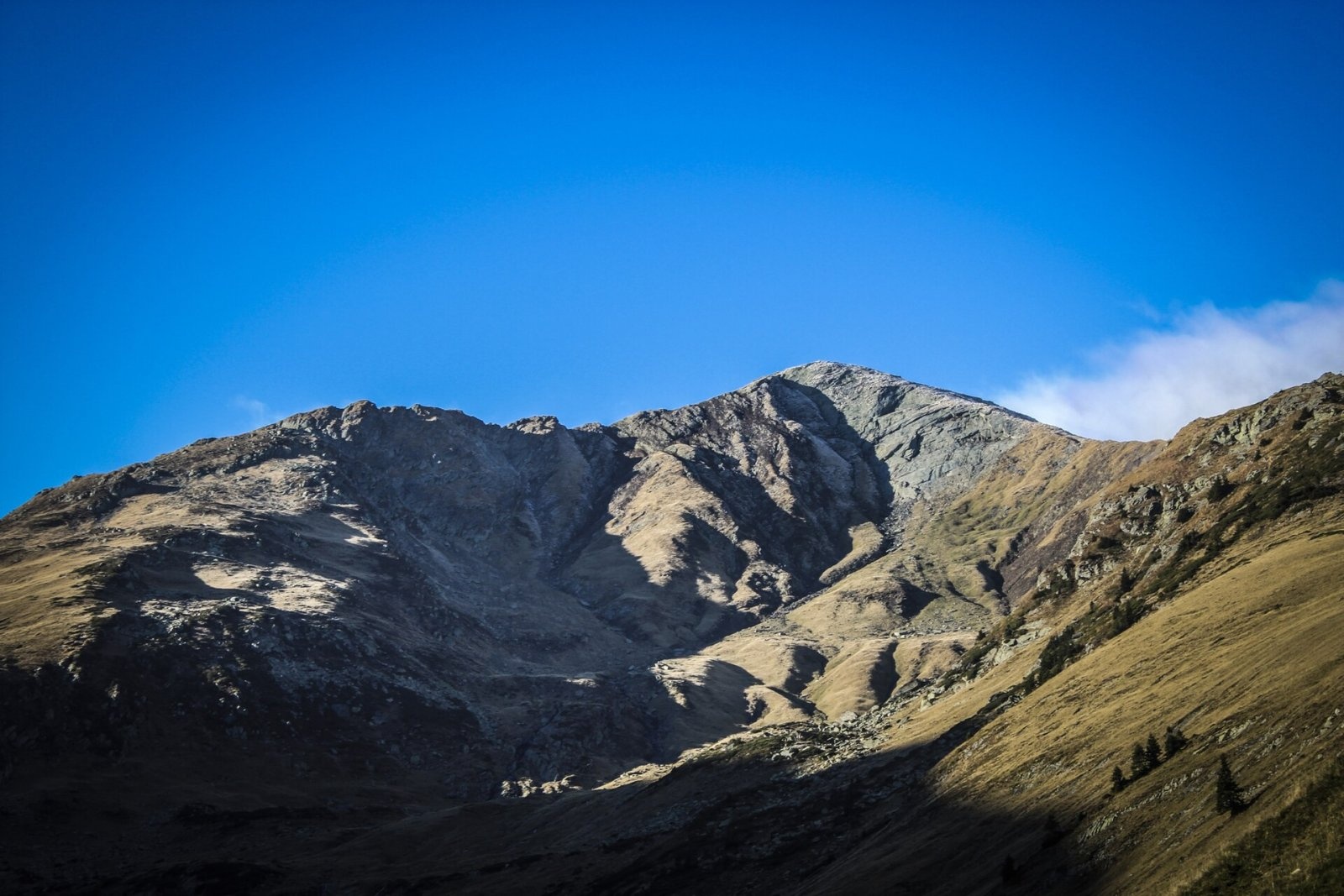
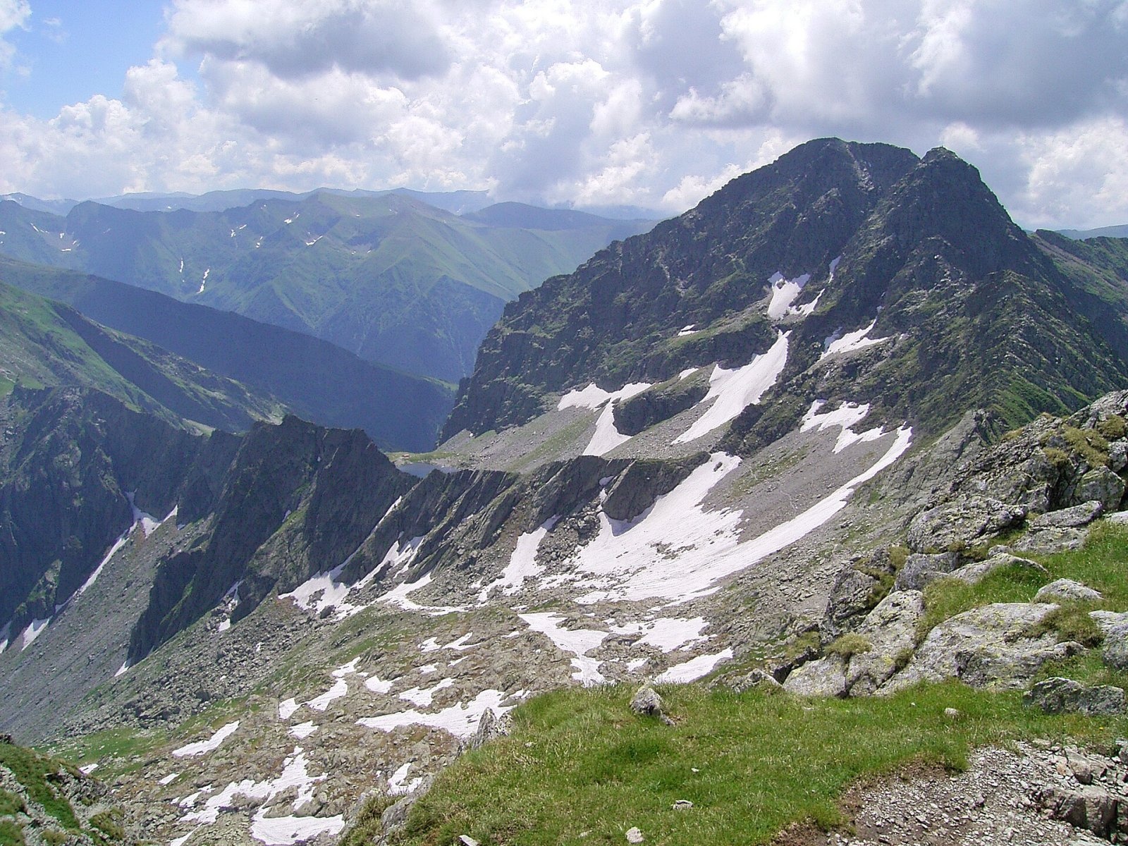
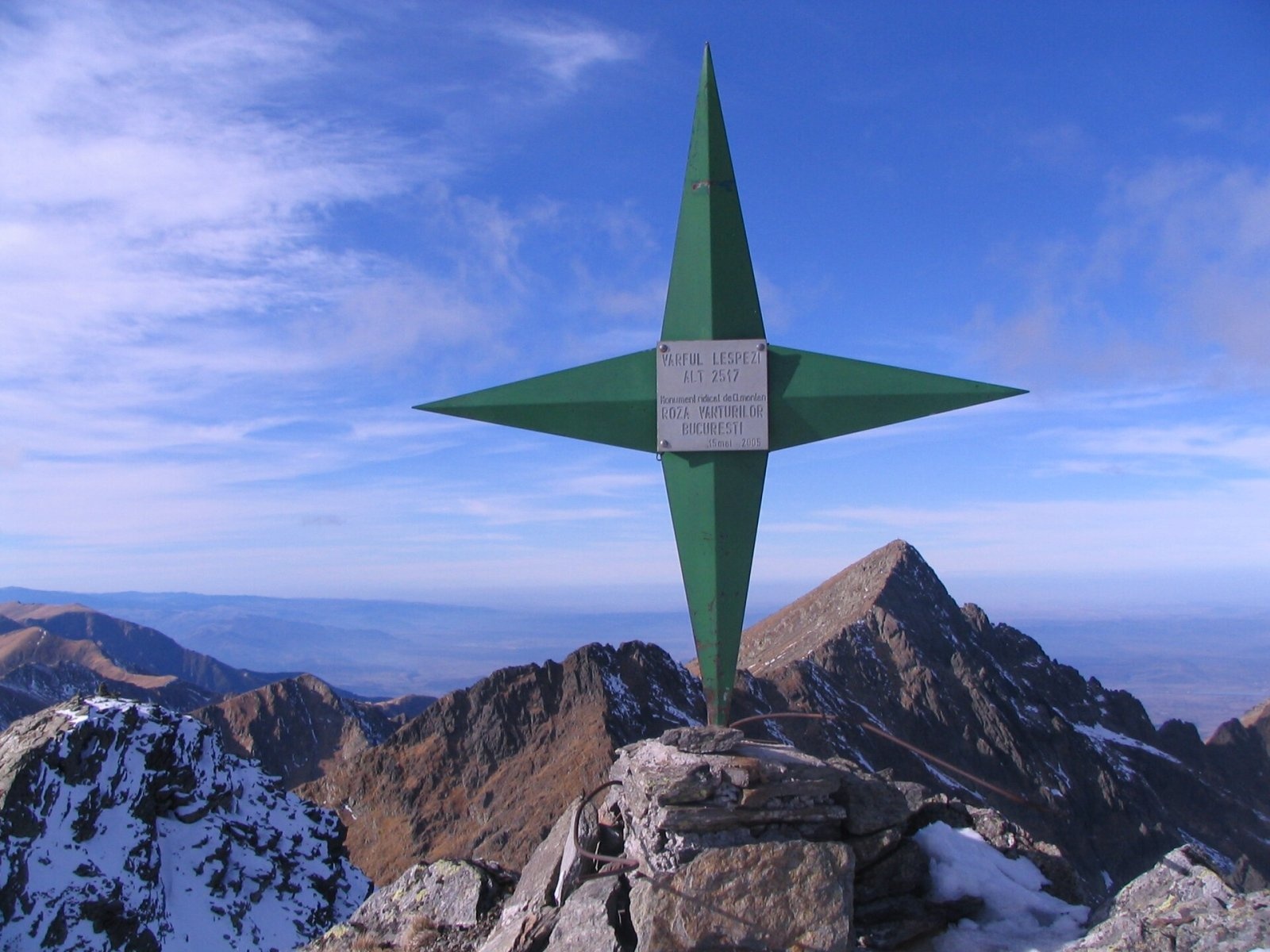
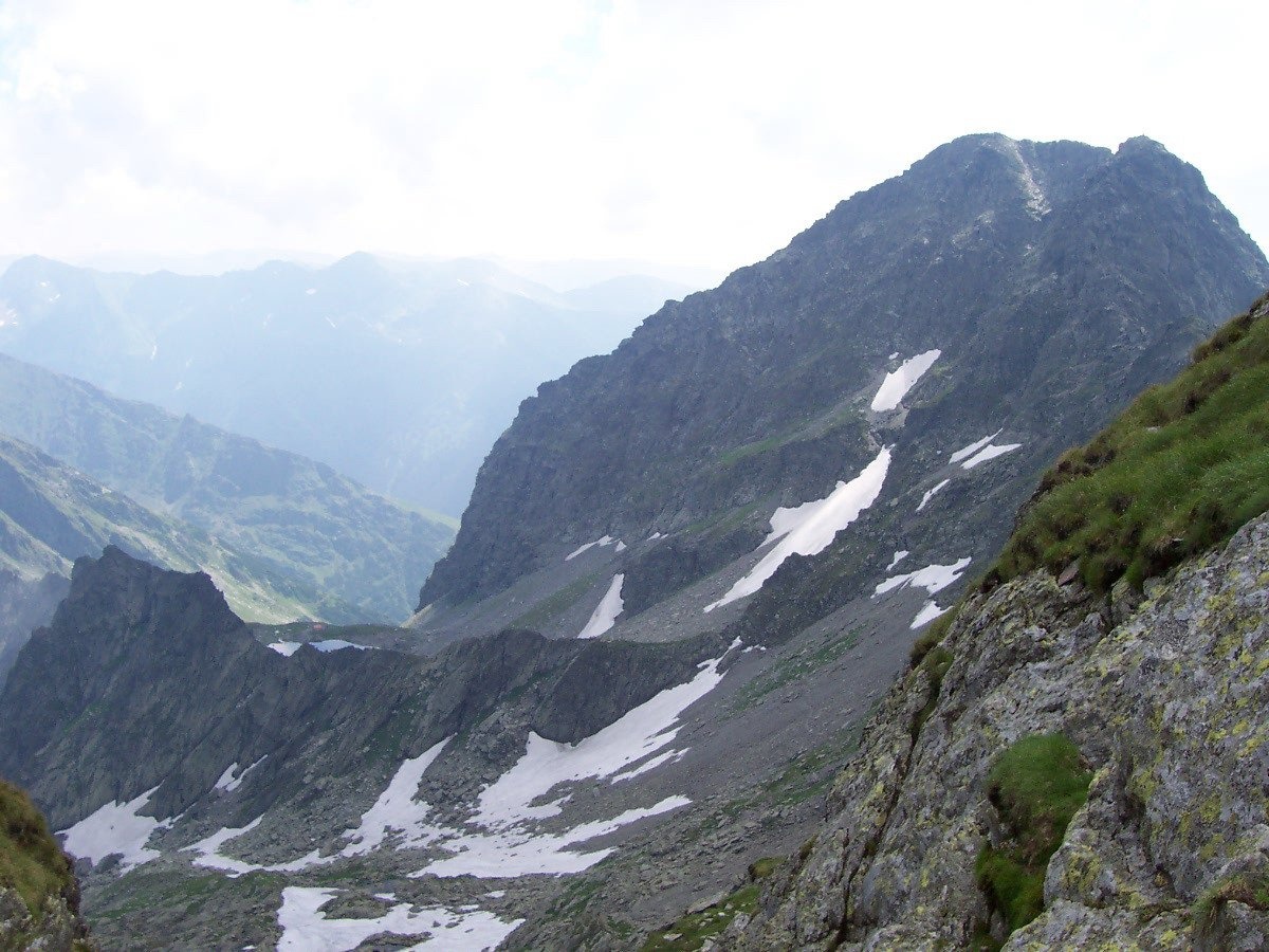
Lespezi (Romanian: Vârful Lespezi) is a 2,517 m summit on the main ridge of the Făgăraș Mountains in the Southern Carpathians, in Sibiu County on the border with Argeș. According to English Wikipedia, it is the fifth-highest mountain in Romania; among the Făgăraș peaks only Moldoveanu, Negoiu and Viștea Mare are higher. Lespezi stands about 1.2 km east-south-east of Negoiu, above the glacial Lake Călțun. The nearest villages in the Făgăraș Depression, Cârțișoara and Arpașu de Sus, are 15–16 km away.
Romanian Wikipedia notes that Lespezi is sometimes regarded as a double summit together with neighbouring Călțun (Vârful Călțun): both tops rise above the same cirque and from a distance merge into one massif. Lespezi stands out for its bulk — it is especially well seen from the north, from the Făgăraș Depression.
How to get there / routes
The main Făgăraș ridge route with the red waymark (part of the European path E8) passes below the summit, by Lake Călțun. Next to the lake stands a mountain refuge which, according to Romanian Wikipedia, was built by the Salvamont team from the town of Avrig (Sibiu County); Wikipedia calls it the Lespezi refuge, OSM maps the Călțun refuge. From Bâlea Lac on the Transfăgărășan road, hikers reach Călțun along the main ridge over Lăițel peak; Hungarian Wikipedia describes this traverse as a route with several cable-protected passages.
One way up Lespezi itself, according to Romanian Wikipedia, starts on the south-western side, from the Strunga Doamnei gap between Călțun and Negoiu. From the south, from the Piscul Negru tourist complex on the southern Transfăgărășan, OSM data show a red dot loop that climbs to the summit and returns to the road.
What you can see from the summit
A «wind rose» marker stands on the summit. The nearest neighbour to the north-west is Negoiu, Romania's second-highest mountain; below lies the cirque with Lake Călțun, and to the east the ridge runs towards Lăițel and Lake Bâlea. To the north the mountains fall steeply to the Făgăraș Depression, and to the south spurs descend towards the Argeș basin.
Nature and history
Like the whole central Făgăraș, Lespezi is built of crystalline rocks. The name comes from the Romanian word «lespede» — a stone slab: the ridge and slopes here are covered with large rock fragments. Lake Călțun in the neighbouring cirque is of glacial origin.
Safety, season and rules
The section of the main ridge between Lăițel, Lake Călțun and Negoiu is rocky in places, with cable-protected passages; walk it only in summer, in dry and settled weather. In fog it is easy to lose the way, and wet slabs become very slippery. The Făgăraș ridge is not a national park but the Natura 2000 site «Munții Făgăraș» (ROSCI0122) with its own regulations: stay on marked trails and take your litter with you. The high-mountain section of the Transfăgărășan road (DN7C) closes every cold season; as of November 2026 no reopening date has been announced — check CNAIR notices. In winter the high ridges carry a serious avalanche risk — follow the avalanche bulletin of Romania's National Meteorological Administration (ANM) on meteoromania.ro.
Bears are common in the Romanian Carpathians. Salvamont rescuers advise not to hike alone, to talk loudly so that an animal hears you in advance, to keep your distance and never feed wildlife, and to store food in sealed containers away from your tent; if you meet a bear, do not run and back away slowly without turning your back.
Mountain rescue: Salvamont national dispatch 0SALVAMONT = 0725 826 668 and the emergency number 112.
Interesting facts
- Lespezi and Călțun are often regarded as one double summit.
- The refuge by Lake Călțun was built by Salvamont rescuers from Avrig.
Photos: S. Lajos - Fehér Hegyek egyesület, CC BY-SA 4.0; Hardsr, Public domain; MIRAIL.MIHAI, CC BY-SA 4.0; Utilizator:Mitrutpopoiu, Public domain — Wikimedia Commons.
Getting there from Ukraine
Border crossings
- Porubne – Siret — road and pedestrian, 24/7
- Diakivtsi – Racovăț — road and pedestrian, 24/7 No freight traffic.
- Krasnoilsk – Vicovu de Sus — road and pedestrian, 08:00–20:00 Cars up to 3.5 t and pedestrians only; not 24/7.
- Solotvyno – Sighetu Marmației — road and pedestrian, 24/7 Passenger traffic only: vehicles up to 3.5 t with up to 9 seats, pedestrians.
- Diakove – Halmeu — road, 24/7 No pedestrian crossing.
By car
Rakhiv – Sibiu ≈390 km, ≈5 h 33 min (via Solotvyno – Sighetu Marmației); Ivano-Frankivsk – Sibiu ≈524 km, ≈7 h 52 min (via Solotvyno – Sighetu Marmației); Chernivtsi – Sibiu ≈435 km, ≈8 h 00 min (via Diakivtsi – Racovăț). Times without border queues, our road routing (GraphHopper, OSM).
Checked 03.11.2026; border crossing hours and timetables change — check before you travel.
Location on the map
Water and shelter nearby
- Călțun Spring, 2 165 m370 m · Not verified · 2 165 m
- Spring below Călțun Spring (south-west slope)500 m · Not verified · 2 171 m
- Spring below Călțun Spring (south slope)500 m · Not verified · 2 192 m
Wildlife nearby
AllComments
Nearby attractions
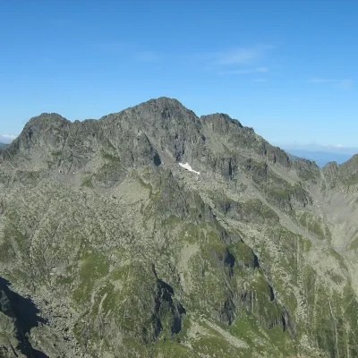 PeakNegoiu Peakaltitude 2 535 m1.2 km from LespeziNegoiu Peak (Romanian: Vârful Negoiu, Hungarian: Negoj-csúcs) is a 2,535 m summit on the main ridge of the Făgăraș Mountains in the Southern Carpathians.
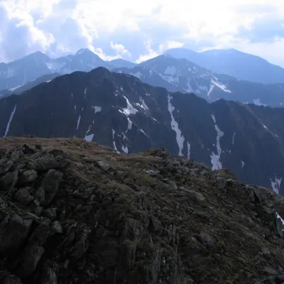 PeakȘerbotaaltitude 2 331 m2.6 km from LespeziȘerbota (Romanian: Vârful Șerbota, Hungarian: Serbota-csúcs) is a 2,331 m summit on the main ridge of the Făgăraș Mountains in the Southern Carpathians, west of Negoiu...
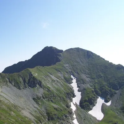 PeakVânătarea lui Buteanualtitude 2 507 m5.6 km from LespeziVânătarea lui Buteanu (Romanian: Vârful Vânătarea lui Buteanu, often also Vânătoarea lui Buteanu) is a 2,507 m summit in the Făgăraș Mountains of the Southern...
