Negoiu Peak
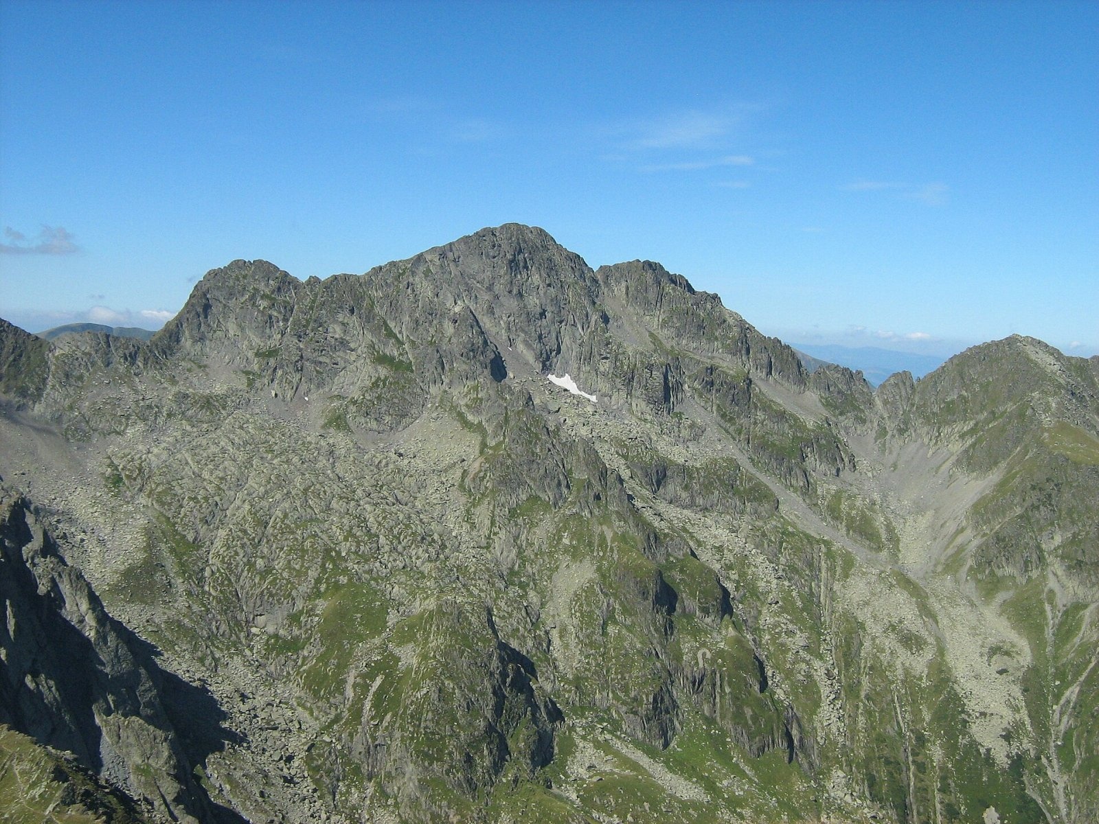
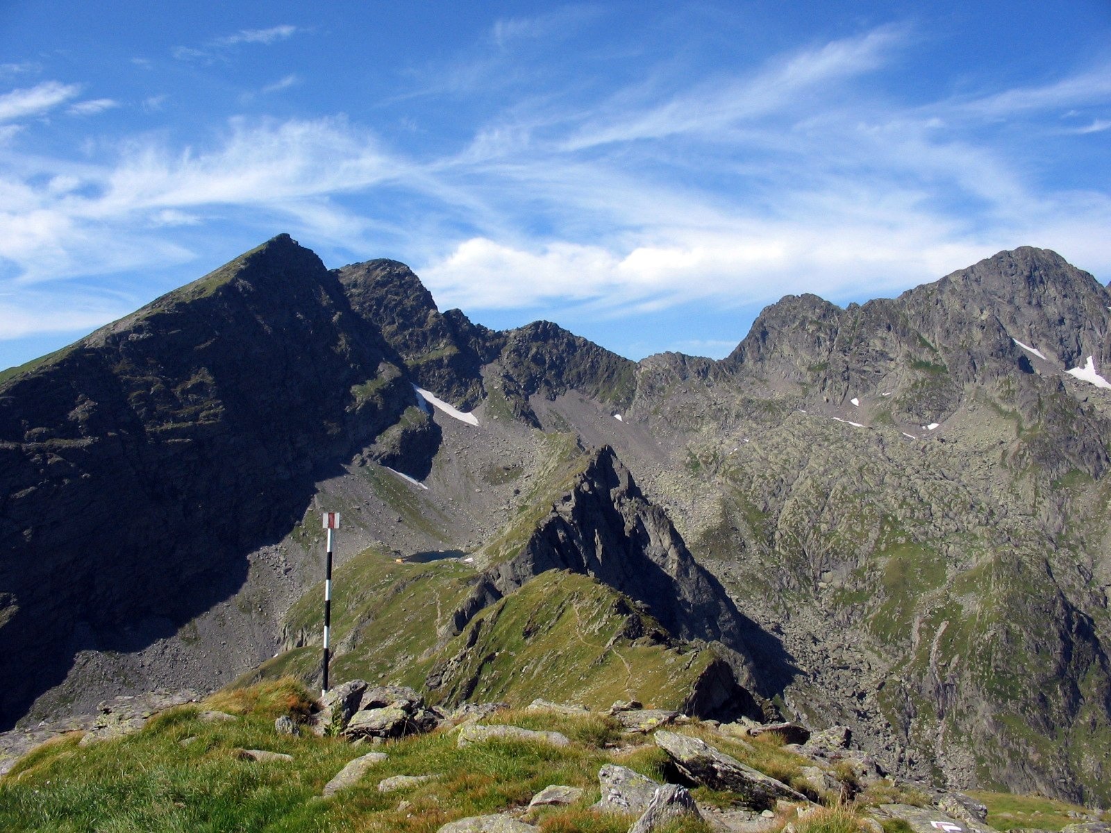
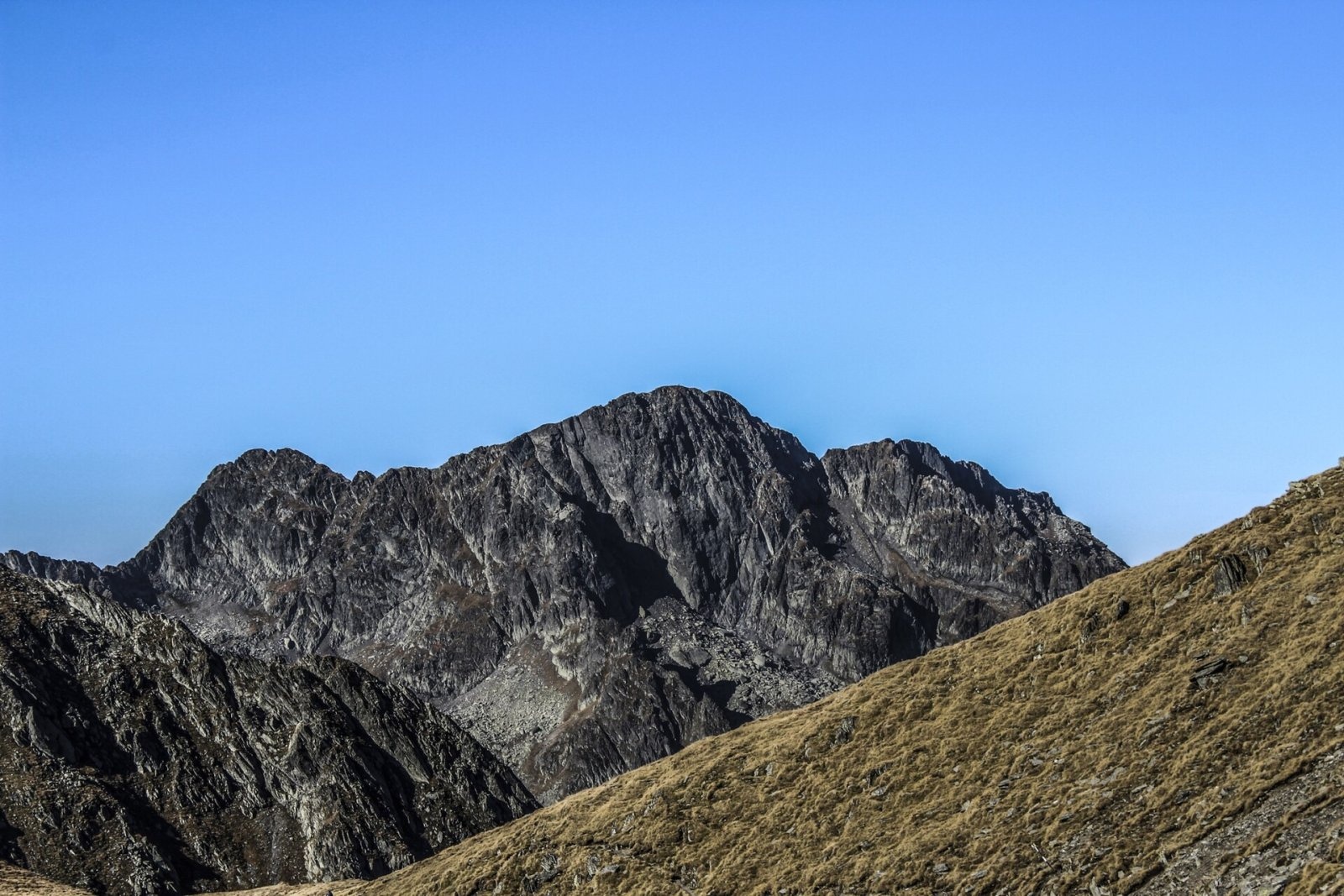
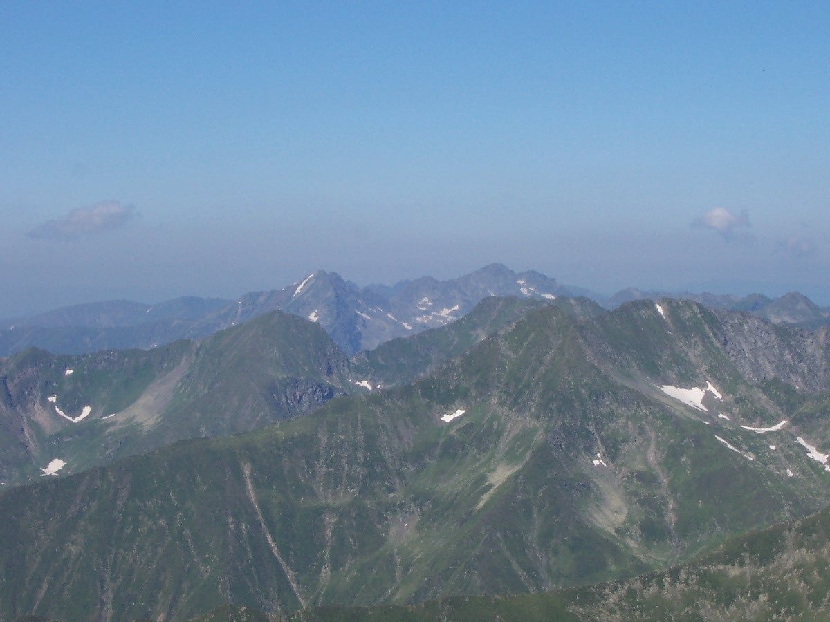
Negoiu Peak (Romanian: Vârful Negoiu, Hungarian: Negoj-csúcs) is a 2,535 m summit on the main ridge of the Făgăraș Mountains in the Southern Carpathians. It is the second-highest mountain in Romania: only neighbouring Moldoveanu (2,544 m), about 14 km to the east, is higher. The summit lies on the border of Sibiu and Argeș counties, and the Piscul Sărății side spur runs north from it. The nearest villages at the northern foot — Cârțișoara and Porumbacu de Sus — are almost 16 km away in the Făgăraș Depression.
Until the interwar period Negoiu was considered the highest peak of the whole Carpathians outside the Tatras; only more accurate surveys showed that Moldoveanu is 9 m higher. According to German Wikipedia, local people still regard Negoiu as the most beautiful summit of the Făgăraș with the widest view.
How to get there / routes
There is no easy way up Negoiu: every approach is long and meant for experienced hikers used to high mountains. According to Czech Wikipedia, the shortest option comes from the north: from the Negoiu mountain hut the blue triangle climbs to Șaua Cleopatrei (Cleopatra's Saddle) and then follows the main ridge to the summit. The classic and very popular route is the traverse of the sharp Șerbota ridge along the red waymark of the Făgăraș main ridge (also the European long-distance path E8); in places it reaches UIAA grade I.
East of the summit the ridge drops towards Lake Călțun. The cable-protected section through the Strunga Dracului («Devil's Gap») is closed: according to muntii-nostri.ro, massive rockfalls in autumn 2011 destroyed its protection; the bypass goes through Strunga Doamnei («Lady's Gap») on a separate waymark, and there is a short chained section right at the summit. From Bâlea Lac on the Transfăgărășan road you can reach Negoiu via Lăițel peak and Lake Călțun, where there is a refuge. From the south, from Lake Vidraru, the long and little-used red triangle leads to Cleopatra's Saddle past the Negoiu waterfalls, while the blue stripe along the Podeanu side ridge reaches Strunga Doamnei.
What you can see from the summit
In clear weather the summit overlooks a large part of the Făgăraș main ridge: to the east Lăițel, Lespezi and Călțun above its lake, and further on the Moldoveanu massif. To the north the mountains fall steeply to the Făgăraș Depression.
Nature and history
Like the whole central Făgăraș ridge, Negoiu is built of crystalline rocks; glacial cirques with small lakes — Călțun, Negoiu, Doamnei — surround the summit. Romanian Wikipedia calls Negoiu Romania's «pole of atmospheric instability»: the weather changes very quickly, and fog and thunderstorms are common even in summer.
The old Hungarian name of the mountain is Vágottkő («Split Stone»); the present name spread in the second half of the 19th century. An old boundary stone of the former Hungarian border still stands on the summit. Romanian authors derive the name from the old family name Neg (Negul), which also gave the forms Negoiu, Negoiță and Negoșina.
Safety, season and rules
The best time for the ascent is July to September, and only in settled weather: in fog or rain it is easy to lose the path on the sharp ridge, and wet rock becomes slippery. A winter ascent of Negoiu is a serious mountaineering undertaking. The Făgăraș ridge is not a national park but the Natura 2000 site «Munții Făgăraș» (ROSCI0122) with its own regulations: stay on marked trails and take your litter with you. In winter the high ridges carry a serious avalanche risk — follow the avalanche bulletin of Romania's National Meteorological Administration (ANM) on meteoromania.ro. The high-mountain section of the Transfăgărășan road (DN7C) closes every cold season; as of November 2026 no reopening date has been announced — check CNAIR notices.
Bears are common in the Romanian Carpathians. Salvamont rescuers advise not to hike alone, to talk loudly so that an animal hears you in advance, to keep your distance and never feed wildlife, and to store food in sealed containers away from your tent; if you meet a bear, do not run and back away slowly without turning your back.
Mountain rescue: Salvamont national dispatch 0SALVAMONT = 0725 826 668 and the emergency number 112.
Interesting facts
- Negoiu is only 9 m lower than Moldoveanu but was long considered the highest mountain of the Făgăraș.
- A boundary stone of the former Hungarian border has survived on the summit.
- The Șerbota ridge, used to reach Negoiu, is one of the sharpest sections of the Făgăraș main ridge.
Photos: Cioboata Andrei, CC BY 3.0; Civilistul at English Wikipedia, Public domain; Hardsr, Public domain; S. Lajos - Fehér Hegyek egyesület, CC BY-SA 4.0; Mitrutpopoiu at Romanian Wikipedia, Public domain; Cioboata Andrei, CC BY 3.0 — Wikimedia Commons.
Getting there from Ukraine
Border crossings
- Porubne – Siret — road and pedestrian, 24/7
- Diakivtsi – Racovăț — road and pedestrian, 24/7 No freight traffic.
- Krasnoilsk – Vicovu de Sus — road and pedestrian, 08:00–20:00 Cars up to 3.5 t and pedestrians only; not 24/7.
- Solotvyno – Sighetu Marmației — road and pedestrian, 24/7 Passenger traffic only: vehicles up to 3.5 t with up to 9 seats, pedestrians.
- Diakove – Halmeu — road, 24/7 No pedestrian crossing.
By car
Rakhiv – Sibiu ≈390 km, ≈5 h 33 min (via Solotvyno – Sighetu Marmației); Ivano-Frankivsk – Sibiu ≈524 km, ≈7 h 52 min (via Solotvyno – Sighetu Marmației); Chernivtsi – Sibiu ≈435 km, ≈8 h 00 min (via Diakivtsi – Racovăț). Times without border queues, our road routing (GraphHopper, OSM).
Checked 03.11.2026; border crossing hours and timetables change — check before you travel.
Location on the map
Water and shelter nearby
- Spring below Călțun Spring (south-west slope)1.3 km · Not verified · 2 171 m
- Călțun Spring, 2 165 m1.3 km · Not verified · 2 165 m
- Spring below Călțun Spring (south slope)1.3 km · Not verified · 2 192 m
- Spring below Puha (north-east slope), 1 507 m2.9 km · Not verified · 1 507 m
Wildlife nearby
AllComments
Nearby attractions
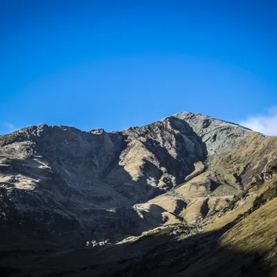 PeakLespezialtitude 2 517 m1.2 km from Negoiu PeakLespezi (Romanian: Vârful Lespezi) is a 2,517 m summit on the main ridge of the Făgăraș Mountains in the Southern Carpathians, in Sibiu County on the border with Argeș.
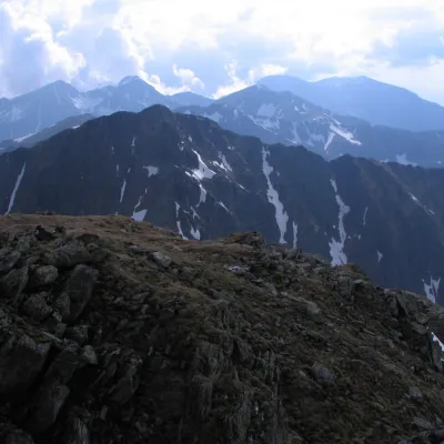 PeakȘerbotaaltitude 2 331 m1.5 km from Negoiu PeakȘerbota (Romanian: Vârful Șerbota, Hungarian: Serbota-csúcs) is a 2,331 m summit on the main ridge of the Făgăraș Mountains in the Southern Carpathians, west of Negoiu...
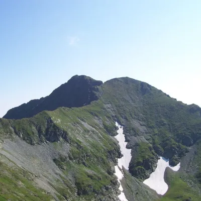 PeakVânătarea lui Buteanualtitude 2 507 m6.1 km from Negoiu PeakVânătarea lui Buteanu (Romanian: Vârful Vânătarea lui Buteanu, often also Vânătoarea lui Buteanu) is a 2,507 m summit in the Făgăraș Mountains of the Southern...
