Ciortea
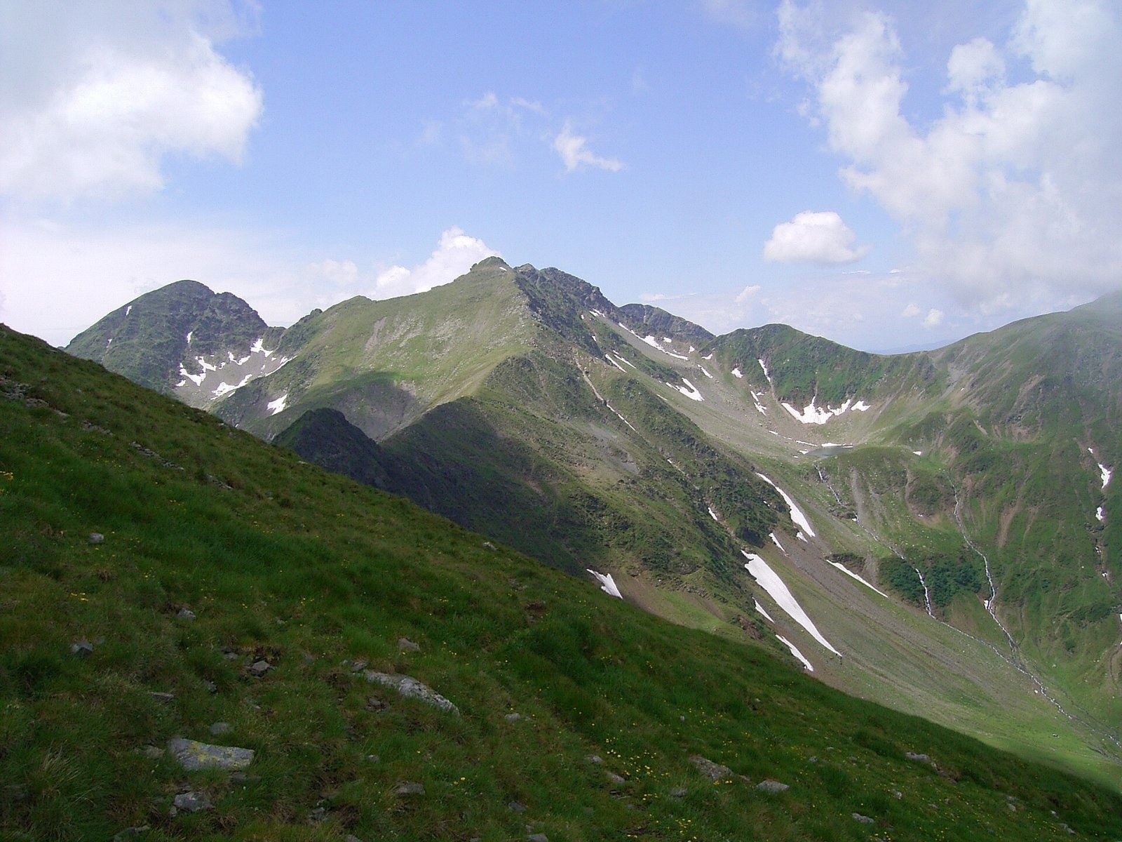
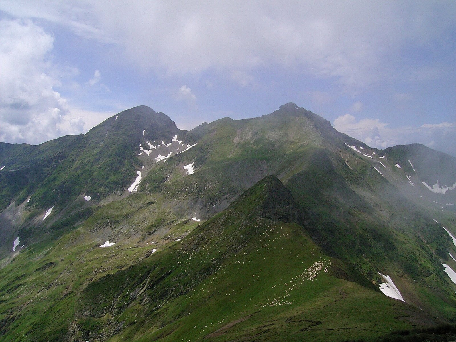
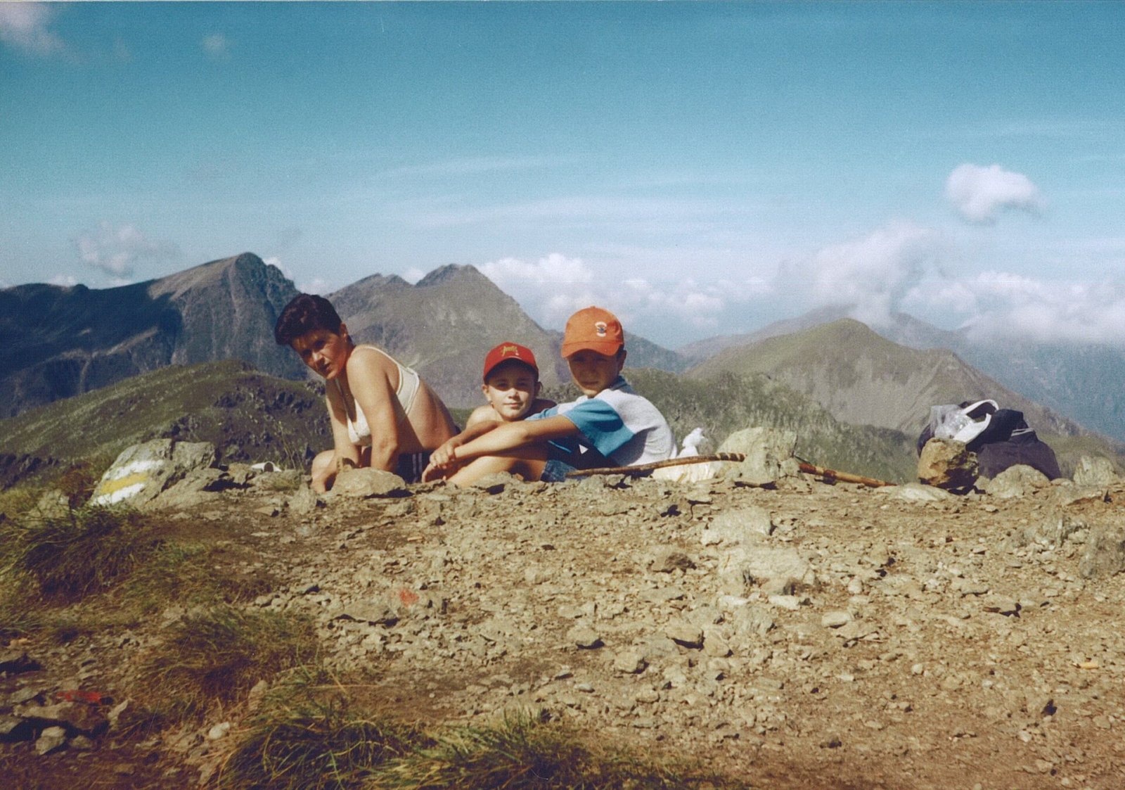
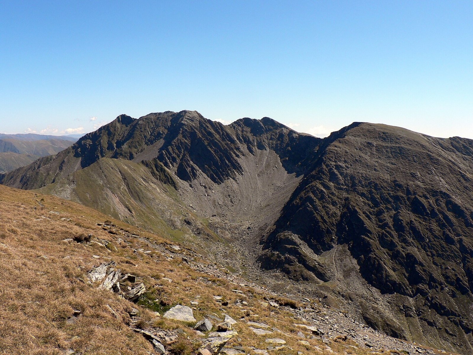
Ciortea (Romanian Muntele Ciortea, German Hohe Scharte, Hungarian Csortea) is a mountain in the western Făgăraș with three close summits, the highest of which, Ciortea West (Ciortea 1), reaches 2,427 m. It stands on the main ridge, on the border of Sibiu and Vâlcea counties. According to Munții Noștri, the Ciortea–Boia group is the last cluster of summits above 2,400 m in the west of the Făgăraș: here the ridge stays above that height for about 400 m.
Below the mountain's north face lies the glacial Lake Avrig, and long spurs run north towards the Olt valley. Ciortea is the first of three groups of high summits in the western Făgăraș, each with “its own” lake and hut: Ciortea–Boia with Lake Avrig and the Bârcaciu hut, then further east Negoiu–Lespezi–Călțun and Vânătarea lui Buteanu–Capra above Lake Bâlea.
How to get there / routes
The usual approach is from the north, from the town of Avrig. According to Munții Noștri, 14 km of road (10 km paved, then a good forest road) lead to the Poiana Neamțului guesthouse (706 m); its first building went up in 1906 for the border guards who watched the then Austro-Hungarian–Romanian border on the Făgăraș ridge. From there a path climbs 844 m to the Bârcaciu hut, then onto the broad Scărișoara ridge with small nival niches and tarns reflecting Negoiu and the Tunsului ridge, and traverses below Scara peak to the Curmătura de Vest a Gârbovei saddle (2,149 m) on the main ridge.
From the saddle a red cross leads up – first along a grassy crest, then over a short, steep rocky step below the top; according to Romanian Wikipedia the path was waymarked by volunteers of the Ecouri Verzi association in August 2013. It ends on Ciortea East, marked by a cairn. The whole route from Poiana Neamțului is, according to Munții Noștri, 24.8 km with about 1,960 m of ascent and 8:45–10:30 hours of walking. You can return along the main ridge (red stripe), which crosses the steep north face of Ciortea on a partly exposed path down to Lake Avrig, and from there to the Bârcaciu hut.
What you see from the summit
According to Munții Noștri, from Ciortea East you see Lake Avrig in its cirque and the main ridge with Scara, Ciortea West and Vârtopu Roșu, and further away the eastern Făgăraș. The authors of an autumn route description also list Negoiu, Lespezi, Cozia, Buila-Vânturarița, Parâng, Retezat and Cindrel in the panorama.
Nature and history
The heights of Ciortea's three summits differ between sources. According to Munții Noștri, the western summit is marked 2,427 m on all maps, although it carries only a cairn; on the eastern one a plaque also says 2,427 m, but maps give it 2,419 m, and the middle summit, which has no settled name, is about 2,425 m. Neighbouring Boia is given 2,431 m on some maps and only 2,426 m on others.
Lake Avrig lies at about 2,011 m; according to Romanian Wikipedia it covers 1.47 ha, is up to 4.5 m deep and about 180 m long. The Avrig river flows out of it. The lake is a favourite overnight spot for those walking the ridge from Suru to Negoiu, and there is a spring. A separate blue-dot path leads to it from the Bârcaciu hut – about 3 hours and 800 m of ascent past two glacial cirque steps.
Safety, season and rules
The Făgăraș ridge is the Natura 2000 site “Munții Făgăraș” (ROSCI0122), not a national park; follow its regulations and keep to marked paths. The traverse of Ciortea's north face is partly exposed and difficult in bad weather. In winter Munții Noștri lists the summit path as inaccessible without special equipment; snow hides the waymarks, and below the Bârcaciu hut you can see avalanche damage – follow the bulletin at meteoromania.ro. In summer beware of thunderstorms on the open ridge.
Bears are common in the Făgăraș: stay on marked paths, call out, do not keep food in your tent by the lake, and do not run from dogs near sheepfolds. In an emergency call the national dispatch 0SALVAMONT – 0725 826 668 or 112; advice is on the Salvamont România website.
Photos: Hardsr, Public domain; Hardsr, Public domain; Hardsr, Public domain; Krzysztof Dudzik-Górnicki (User:ToSter), CC BY-SA 3.0 — Wikimedia Commons.
Getting there from Ukraine
Border crossings
- Porubne – Siret — road and pedestrian, 24/7
- Diakivtsi – Racovăț — road and pedestrian, 24/7 No freight traffic.
- Krasnoilsk – Vicovu de Sus — road and pedestrian, 08:00–20:00 Cars up to 3.5 t and pedestrians only; not 24/7.
- Solotvyno – Sighetu Marmației — road and pedestrian, 24/7 Passenger traffic only: vehicles up to 3.5 t with up to 9 seats, pedestrians.
- Diakove – Halmeu — road, 24/7 No pedestrian crossing.
By car
Rakhiv – Sibiu ≈390 km, ≈5 h 33 min (via Solotvyno – Sighetu Marmației); Ivano-Frankivsk – Sibiu ≈524 km, ≈7 h 52 min (via Solotvyno – Sighetu Marmației); Chernivtsi – Sibiu ≈435 km, ≈8 h 00 min (via Diakivtsi – Racovăț). Times without border queues, our road routing (GraphHopper, OSM).
Checked 03.11.2026; border crossing hours and timetables change — check before you travel.
Location on the map
Water and shelter nearby
- Spring below Grohotișului (south-east slope), 2 192 m730 m · Not verified · 2 192 m
- Spring below Turnu Lacului (north slope)810 m · Not verified · 2 091 m
- Spring below Turnu Lacului (north-east slope)840 m · Not verified · 2 031 m
- Portița Avrigului Hut950 m · Not verified · 2 199 m
- Spring below Grohotișului (south-east slope), 1 933 m1.2 km · Not verified · 1 933 m
- Spring below Vameșoaia (east slope)2.2 km · Not verified · 2 133 m
- Spring below Puha (north-west slope)2.7 km · Not verified · 2 008 m
- Spring below Puha (south slope)2.7 km · Not verified · 2 084 m
- Refugiul Scara II (2023)2.9 km · Not verified · 2 146 m
Wildlife nearby
AllComments
Nearby attractions
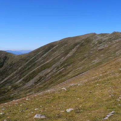 PeakSurualtitude 2 281 m3.8 km from CiorteaSuru (Romanian: Vârful Suru) is a 2,281 m summit in the western part of the Făgăraș Mountains in the Southern Carpathians, in Sibiu County.
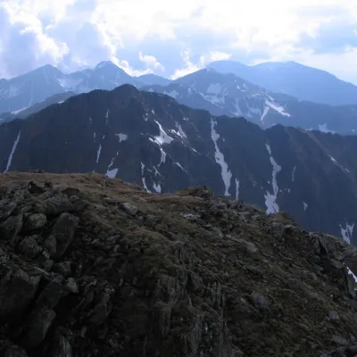 PeakȘerbotaaltitude 2 331 m4.7 km from CiorteaȘerbota (Romanian: Vârful Șerbota, Hungarian: Serbota-csúcs) is a 2,331 m summit on the main ridge of the Făgăraș Mountains in the Southern Carpathians, west of Negoiu...
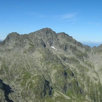 PeakNegoiu Peakaltitude 2 535 m6.2 km from CiorteaNegoiu Peak (Romanian: Vârful Negoiu, Hungarian: Negoj-csúcs) is a 2,535 m summit on the main ridge of the Făgăraș Mountains in the Southern Carpathians.
