Poiana Horea
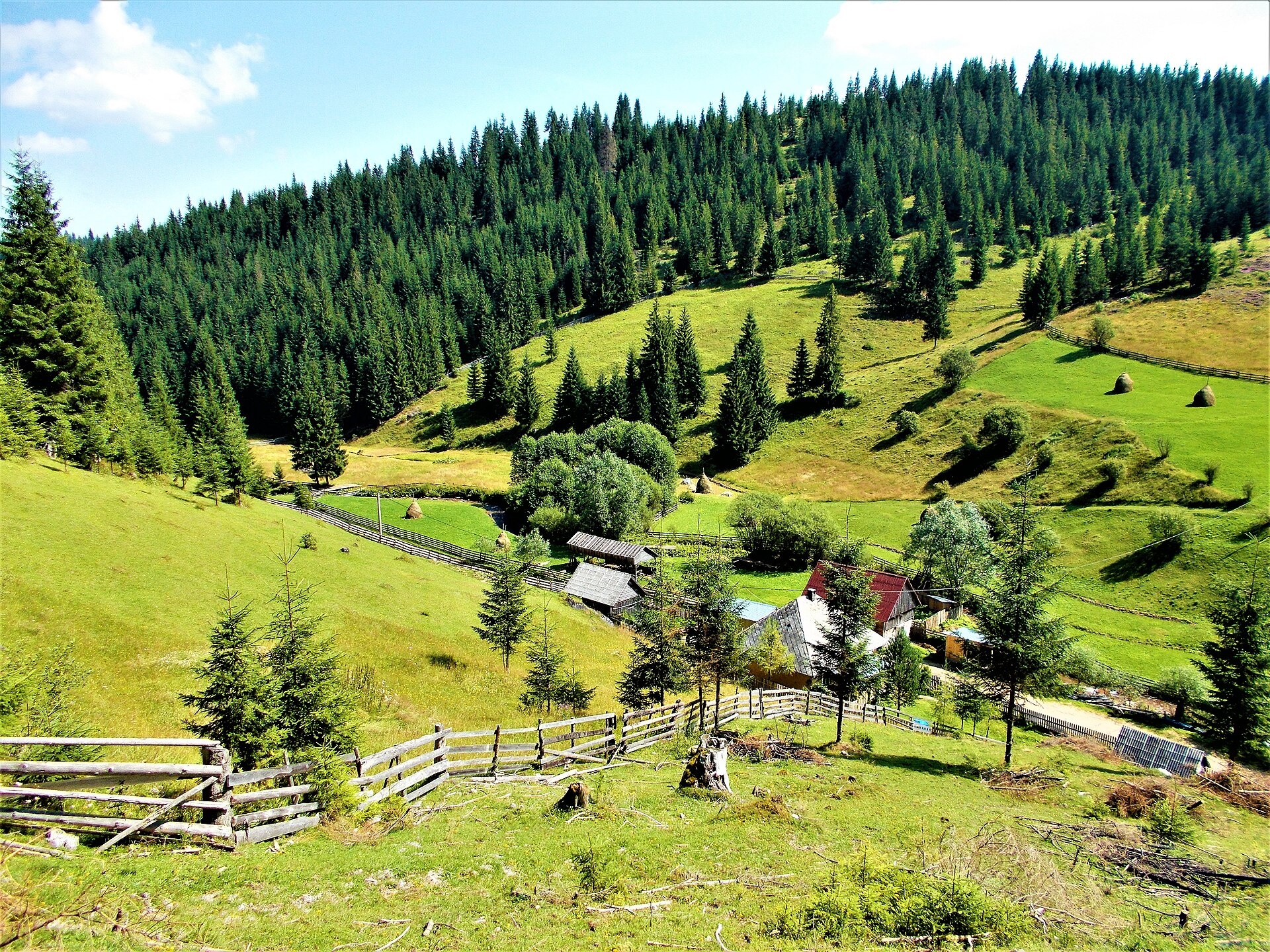
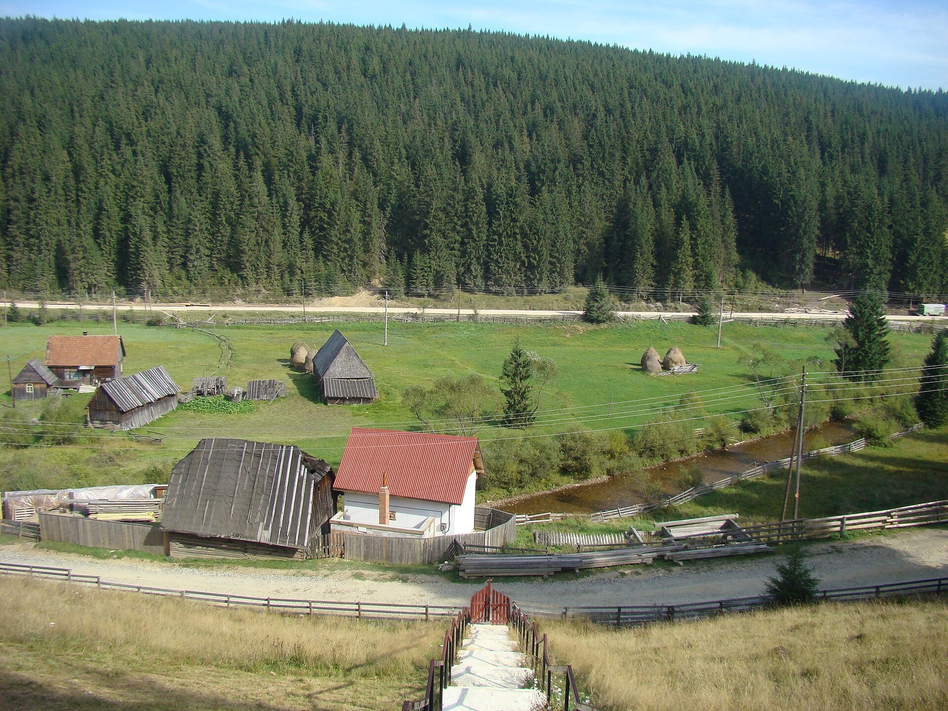
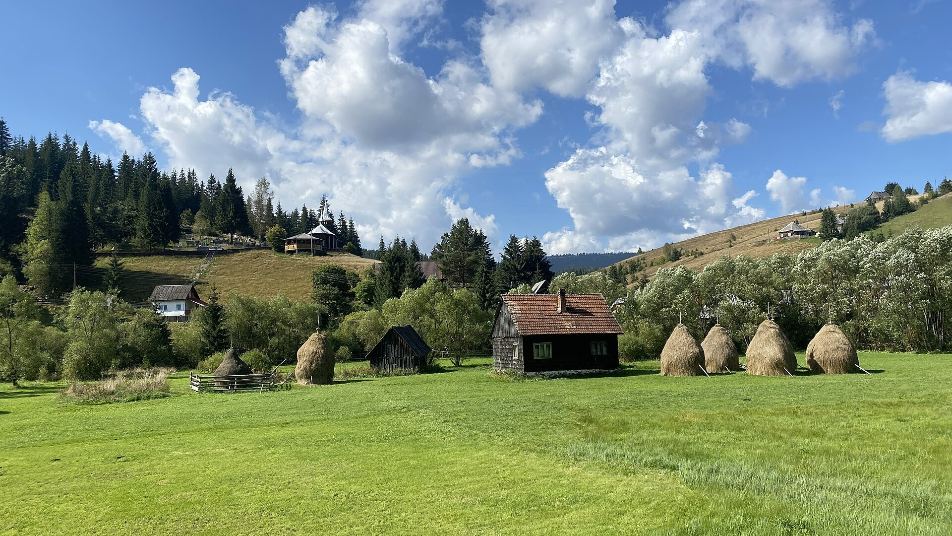
Photos: Nicu Farcaș, CC BY-SA 4.0 (Wikimedia Commons); Țetcu Mircea Rareș, CC BY-SA 3.0 (Wikimedia Commons); Eddy Renard, CC BY-SA 4.0 (Wikimedia Commons)
Poiana Horea is a village in Romania.
Elevation: about 1,133 m above sea level. Population: 253 (2021). Mountains nearby: Bihor-Vlădeasa Mountains.
Here and nearby on the site: 1 trail.
Facts: Wikidata, OpenStreetMap. More on Wikipedia
Comments
Travellers’ experience: reports, tips, questions.
No one has written here yet. Be the first — your experience helps others.
What's nearby
Trails nearby
All trails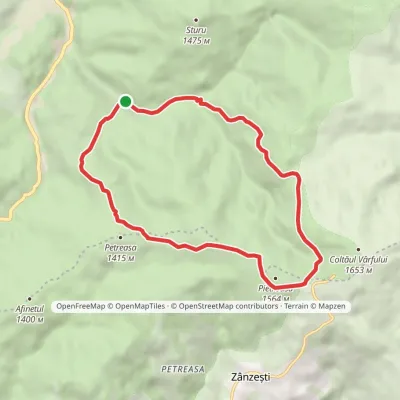 ModerateOne-dayMarkedPetreasa CircuitElevation profile1 084–1 549 m12 kmascent 465 m≈ 4 h walking2.6 km from the centre
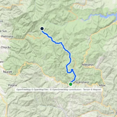 Hard1–2 daysMarkedGârda de Sus Vărășoaia SaddleElevation profile727–1 436 m31.8 kmascent 1 186 m≈ 10 h walking8.7 km from the centre
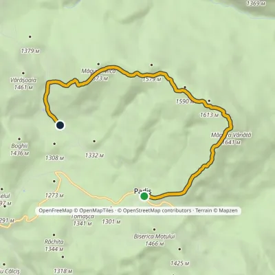 EasyOne-dayMarkedPadiș Vărășoaia SaddleElevation profile1 259–1 641 m8.9 kmascent 371 m≈ 3 h walking12 km from the centre
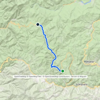 ModerateOne-dayMarkedGhețar PadișElevation profile821–1 354 m18.3 kmascent 690 m≈ 5.5 h walking12 km from the centre
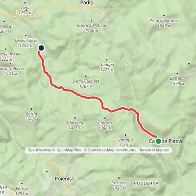 EasyOne-dayMarkedCasa de Piatră Glăvoi MeadowElevation profile1 026–1 302 m9.2 kmascent 304 m≈ 3 h walking12 km from the centre
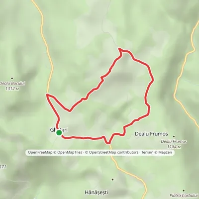 EasyOne-dayMarkedGhețar Dealu Frumos LoopElevation profile1 088–1 230 m5.2 kmascent 138 m≈ 1.5 h walking12 km from the centre
Peaks nearby
All peaks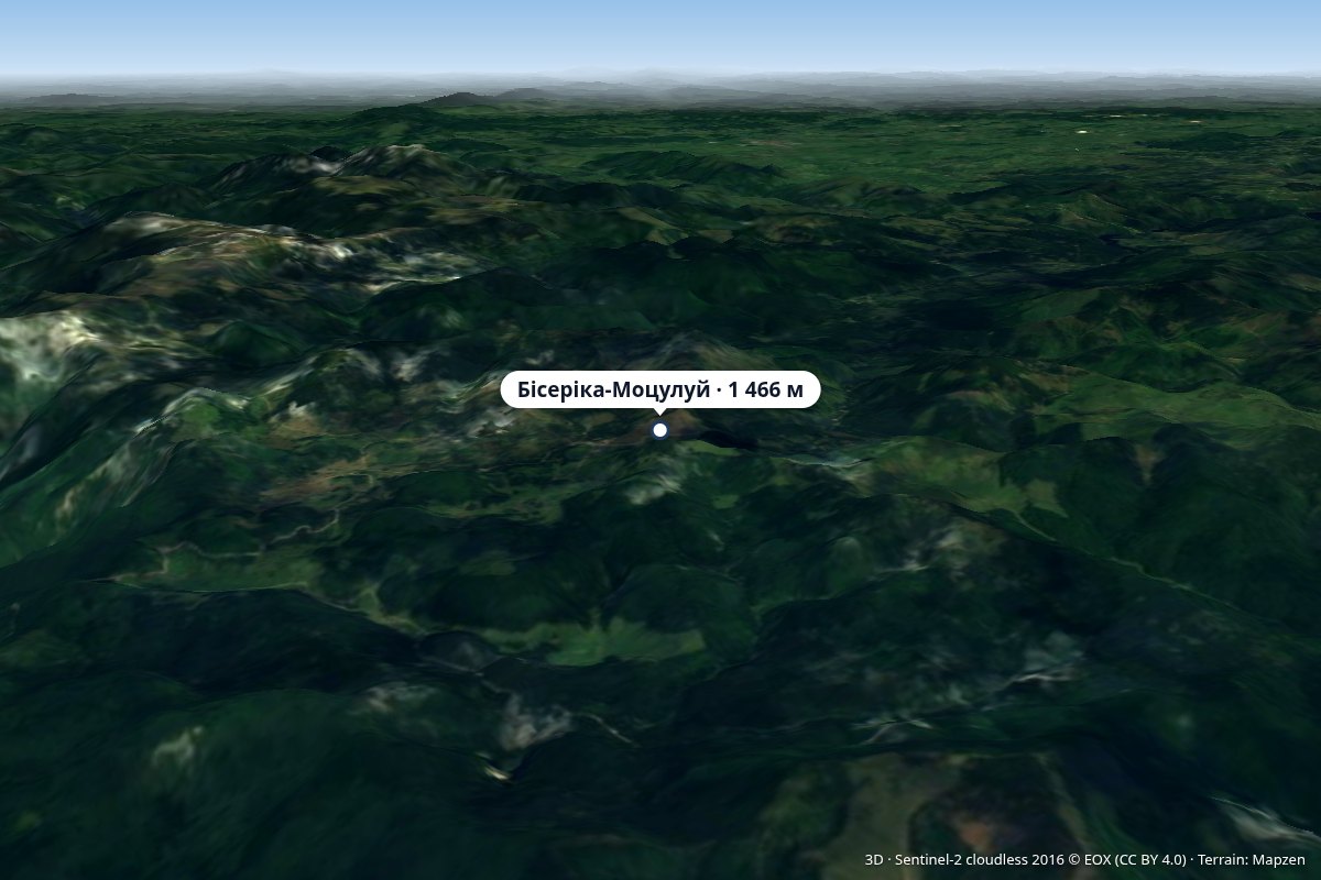 PeakBiserica MoțuluiPadișaltitude 1 466 m14 km from the centreVârful Biserica Moțului, “Church of the Moți”) is a 1,466 m peak in the northern part of the Bihor Mountains (Western Romanian Mountains, Apuseni), in Bihor County, on...
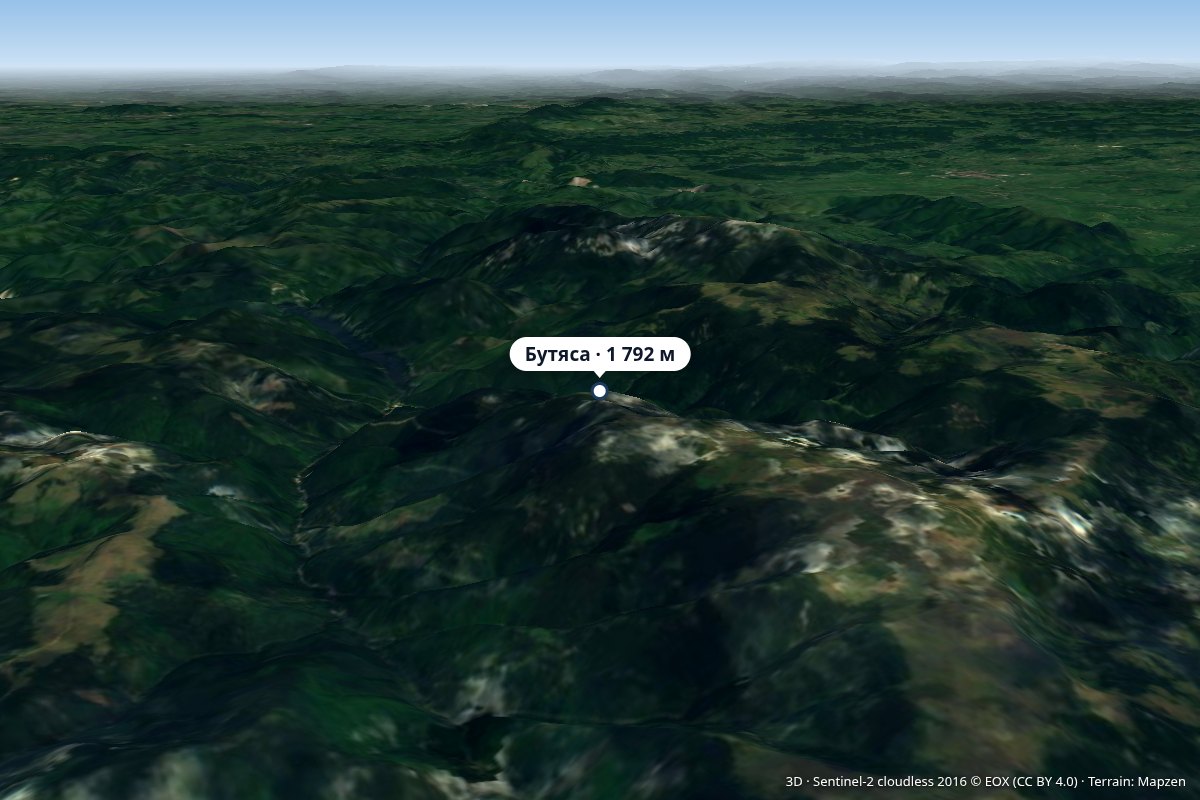 PeakButeasaStâna de Valealtitude 1 792 m19 km from the centreVârful Buteasa) is a 1,792 m peak in the northern part of the Bihor-Vlădeasa Mountains (Apuseni, Western Romanian Mountains), in Bihor County, on the territory of...
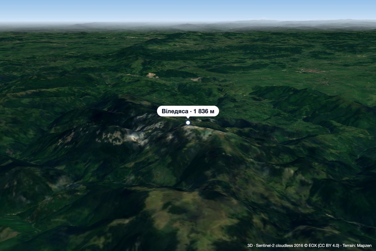 PeakVlădeasaRogojelaltitude 1 836 m20 km from the centreVlădeasa (Romanian: Vârful Vlădeasa, Hungarian: Vigyázó-csúcs or Vlegyásza-csúcs) is the highest summit of the Vlădeasa Massif in the Apuseni Mountains (Western...
What to visit
All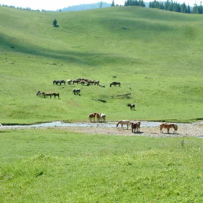 Mountain meadowPoiana PonorBogaaltitude 1 085 m16 km from the centrePoiana Ponor (Hungarian: Ponor-rét) is a closed karst depression on the Padiș plateau in the Bihor Mountains (Apuseni), at about 1,085 m.
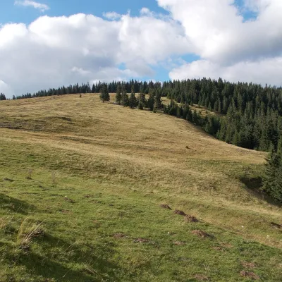 Mountain meadowPadiș PlateauPadișaltitude 1 235 m16 km from the centrePadiș (Hungarian: Pádis) is a karst plateau in the Bihor Mountains, part of Romania's Apuseni (Western Romanian Carpathians), in the south-east of Bihor County.
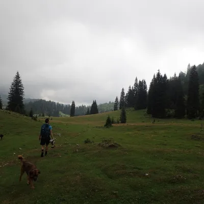 Mountain meadowPoiana VărășoaiaPadișaltitude 1 315 m16 km from the centrePoiana Vărășoaia is a mountain meadow in the north of the Padiș plateau in the Bihor Mountains (Apuseni), at about 1,300 m.
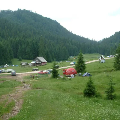 Mountain meadowPoiana GlăvoiBogaaltitude 1 086 m16 km from the centrePoiana Glăvoi (Hungarian: Glavoj-rét) is a broad grassy meadow on the Padiș plateau in the Bihor Mountains (Apuseni), at about 1,090 m.
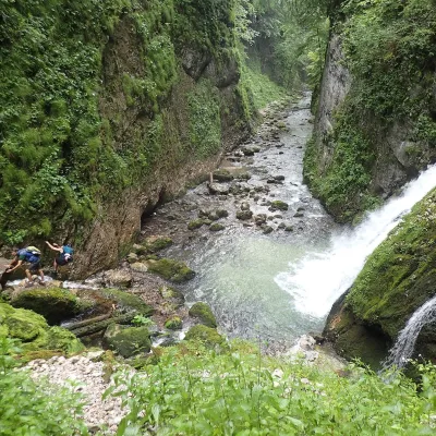 WaterfallEvantai Waterfall (Cascada Evantai)Boga · Bihor-Vlădeasa Mountains19 km from the centreheight 7–10 m758 m above sea levelEvantai Waterfall (Cascada Evantai, «the Fan») lies in the Galbena Gorge (Cheile Galbenei) in the Bihor Mountains, inside Apuseni Natural Park in Bihor County.
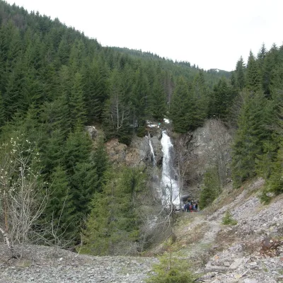 WaterfallVârciorog Waterfall (Cascada Vârciorog)Izlaz · Bihor-Vlădeasa Mountains21 km from the centreover 15 m high1 153 m above sea levelVârciorog Waterfall (Cascada Vârciorog) is a nature reserve of geological and landscape type in the south-east of the Bihor Mountains, in Arieșeni commune in the far...
Craft nearby
All craft places
Huts, shelters and springs nearby
Getting there from Ukraine
Border crossings
- Porubne – Siret — road and pedestrian, 24/7
- Diakivtsi – Racovăț — road and pedestrian, 24/7 No freight traffic.
- Krasnoilsk – Vicovu de Sus — road and pedestrian, 08:00–20:00 Cars up to 3.5 t and pedestrians only; not 24/7.
- Solotvyno – Sighetu Marmației — road and pedestrian, 24/7 Passenger traffic only: vehicles up to 3.5 t with up to 9 seats, pedestrians.
- Diakove – Halmeu — road, 24/7 No pedestrian crossing.
By car
Rakhiv – Cluj-Napoca ≈219 km, ≈3 h 44 min (via Solotvyno – Sighetu Marmației); Ivano-Frankivsk – Cluj-Napoca ≈353 km, ≈6 h 04 min (via Solotvyno – Sighetu Marmației); Chernivtsi – Cluj-Napoca ≈343 km, ≈6 h 28 min (via Krasnoilsk – Vicovu de Sus). Times without border queues, our road routing (GraphHopper, OSM).
Checked 03.11.2026; border crossing hours and timetables change — check before you travel.
