Buteasa
Buteasa (rom. Vârful Buteasa) is a 1,792 m peak in the northern part of the Bihor-Vlădeasa Mountains (Apuseni, Western Romanian Mountains), in Bihor County, on the territory of Budureasa commune, northwest of the Padiș plateau. According to muntii-nostri.ro, it is the second highest peak of Vlădeasa and a viewpoint with wide, picturesque panoramas of the whole massif; the highest peak is Vlădeasa. The nearest settlement is the resort of Stâna de Vale (about 7.1 km in a straight line), then Padiș (about 11.6 km) and Boga (about 11.9 km).
Nature and history
The summit itself is a botanical reserve of 2 ha (IUCN category IV), declared by law no. 5 of March 6, 2000; it overlaps with the Natura 2000 bird area "Apuseni Mountains – Vlădeasa" and the community site "Buteasa". According to Romanian Wikipedia, there is diverse subalpine vegetation here: columnar spruce (Picea abies columnaris), Swiss pine (Pinus cembra), green alder, mountain pine, and Siberian juniper. Among the herbs are rare species protected by the European Directive 92/43/EEC: yellow monkshood (Aconitum anthora), spotted gentian (Gentiana punctata), and globeflower (Trollius europaeus).
Getting there / routes
The red triangle trail "Stâna de Vale – Buteasa peak" leads to the summit. According to muntii-nostri.ro, the resort of Stâna de Vale lies at about 1,100 m near the Apuseni Natural Park; it is an important base for hiking and cycling routes, a place for recreation and treatment, and has a 550 m ski slope. From the resort, the trail passes the Izvorul Minunilor spring, follows a forest road (initially asphalted) towards the Moara Dracului waterfall, and climbs through the forest to the pasture on the Muncel ridge with a large sheepfold. Here, the blue stripe trail branches left to the Leșu reservoir, while the route, together with the yellow stripe and blue cross, follows a forest road past the Muncel forester's lodge and descends steeply into the forest, then past the Chiripa forester's lodge to the Stanișoara clearing.
To the clearing below the summit, the trail coincides with the yellow stripe route; from there, at the signpost, head north—first across pasture, then between juniper, mountain pine, and patches of scree. The path is clear and well marked. The whole route is 11 km, about 5 hours and 1,068 m ascent, of medium difficulty; the authors recommend it for experienced hikers with navigation skills, and in winter only depending on snow conditions.
The nearest springs listed on the site are Spring below Brița (north-west slope) and Spring below Brița (north slope) (about 1.7 km from the summit), and the nearest shelter is Piatra Talharului Hut (about 3.7 km).
The view from the top
According to muntii-nostri.ro, the summit offers a wide panorama in all directions.
Safety, season and rules
In the reserve, do not leave the trail or pick plants. On the open Vlădeasa ridge, the weather changes quickly—bring warm clothes and an offline map. Bears are common in the Romanian Carpathians: stay on marked trails, make noise, avoid dusk, and do not keep food in your tent; near sheepfolds, shepherd dogs may attack—do not run, stop and shield yourself with your backpack (advice from Salvamont România).
In case of emergency, call the national mountain rescue dispatcher 0SALVAMONT — 0725 826 668 or 112.
Getting there from Ukraine
Border crossings
- Porubne – Siret — road and pedestrian, 24/7
- Diakivtsi – Racovăț — road and pedestrian, 24/7 No freight traffic.
- Krasnoilsk – Vicovu de Sus — road and pedestrian, 08:00–20:00 Cars up to 3.5 t and pedestrians only; not 24/7.
- Solotvyno – Sighetu Marmației — road and pedestrian, 24/7 Passenger traffic only: vehicles up to 3.5 t with up to 9 seats, pedestrians.
- Diakove – Halmeu — road, 24/7 No pedestrian crossing.
By car
Rakhiv – Cluj-Napoca ≈219 km, ≈3 h 44 min (via Solotvyno – Sighetu Marmației); Ivano-Frankivsk – Cluj-Napoca ≈353 km, ≈6 h 04 min (via Solotvyno – Sighetu Marmației); Chernivtsi – Cluj-Napoca ≈343 km, ≈6 h 28 min (via Krasnoilsk – Vicovu de Sus). Times without border queues, our road routing (GraphHopper, OSM).
Checked 03.11.2026; border crossing hours and timetables change — check before you travel.
Comments
Travellers’ experience: reports, tips, questions.
No one has reported on this trail yet. Been here lately? Tell others what it is like now.
Water and shelter nearby
- Spring below Brița (north-west slope)1.7 km · Not verified · 1 629 m
- Spring below Brița (north slope)1.7 km · Not verified · 1 678 m
- Spring below Graiu Manului (north slope)2.4 km · Not verified · 1 133 m
- Spring below Graiu Manului (north-east slope)2.6 km · Not verified · 1 212 m
- Spring below Muncei2.8 km · Not verified · 1 046 m
Trails nearby
All trails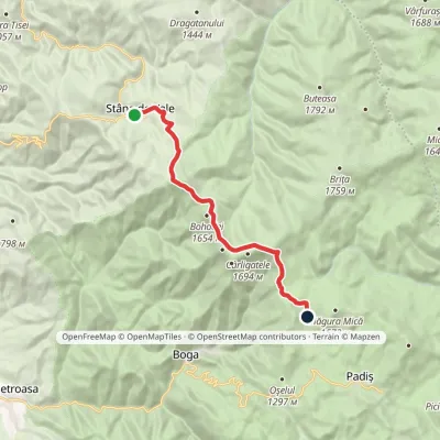 ModerateOne-dayMarkedStâna de Vale Vărășoaia SaddleElevation profile1 088–1 654 m14.1 kmascent 738 m≈ 5 h walking5.9 km from Buteasa
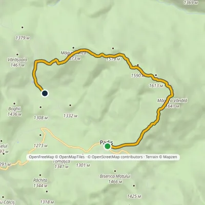 EasyOne-dayMarkedPadiș Vărășoaia SaddleElevation profile1 259–1 641 m8.9 kmascent 371 m≈ 3 h walking8.8 km from Buteasa
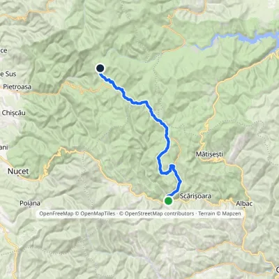 Hard1–2 daysMarkedGârda de Sus Vărășoaia SaddleElevation profile727–1 436 m31.8 kmascent 1 186 m≈ 10 h walking8.9 km from Buteasa
Nearby attractions
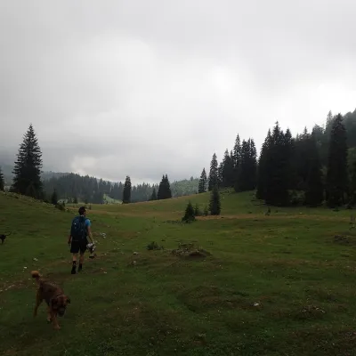 Mountain meadowPoiana VărășoaiaPadișaltitude 1 315 m8.5 km from ButeasaPoiana Vărășoaia is a mountain meadow in the north of the Padiș plateau in the Bihor Mountains (Apuseni), at about 1,300 m.
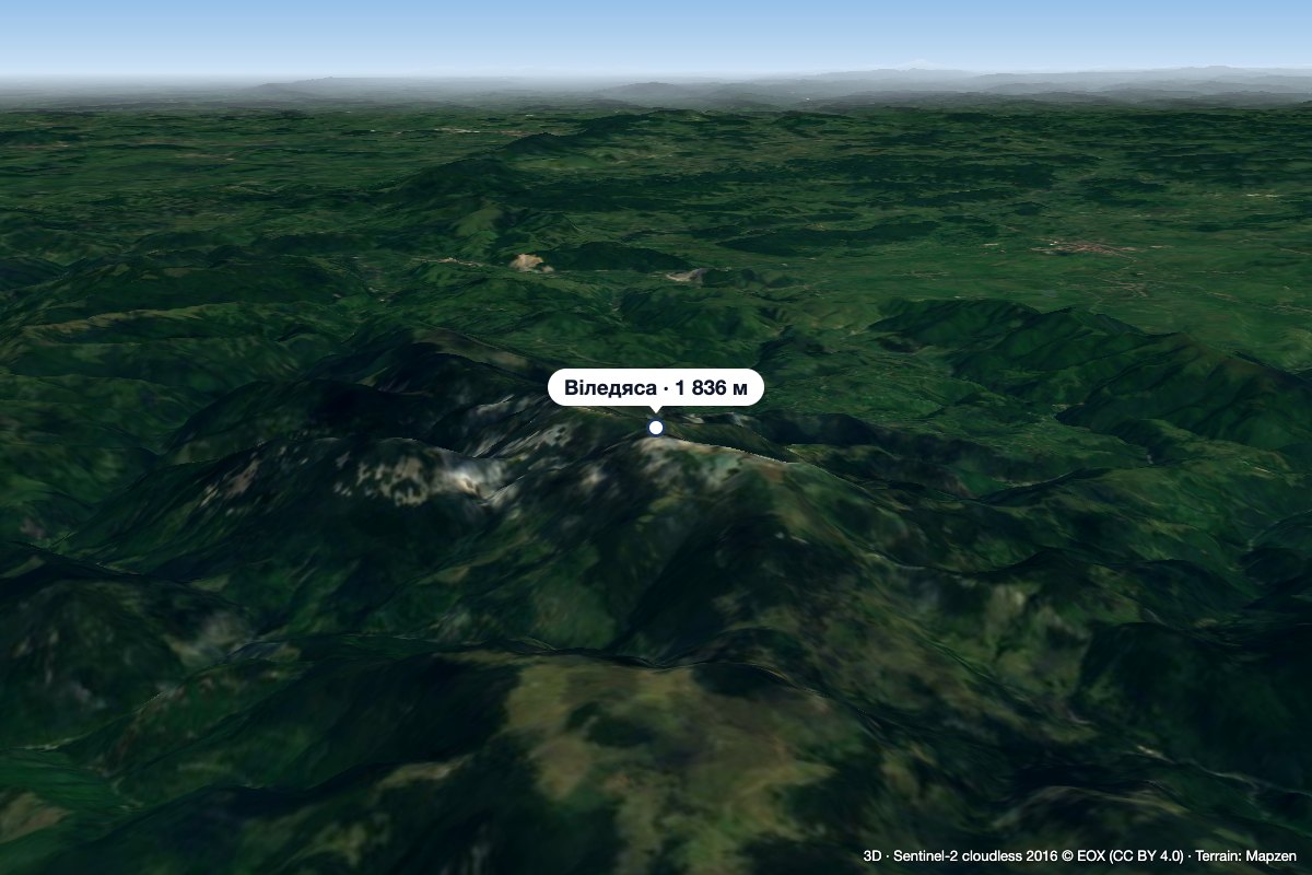 PeakVlădeasaRogojelaltitude 1 836 m9 km from ButeasaVlădeasa (Romanian: Vârful Vlădeasa, Hungarian: Vigyázó-csúcs or Vlegyásza-csúcs) is the highest summit of the Vlădeasa Massif in the Apuseni Mountains (Western...
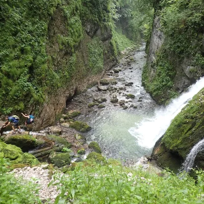 WaterfallEvantai Waterfall (Cascada Evantai)Boga · Bihor-Vlădeasa Mountains16 km from Buteasaheight 7–10 m758 m above sea levelEvantai Waterfall (Cascada Evantai, «the Fan») lies in the Galbena Gorge (Cheile Galbenei) in the Bihor Mountains, inside Apuseni Natural Park in Bihor County.
Craft nearby
All craft places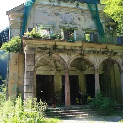 Water parks & thermal poolsMoneasa: warm mesothermal waters in the Codru-Moma MountainsMoneasa44 km from ButeasaMoneasa is a small mountain spa in Arad County in western Romania, in the valley of the Moneasa River at the foot of the Codru-Moma Mountains (the western part of the...
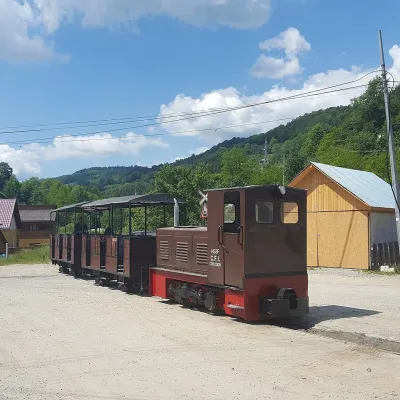 Heritage transportApuseni Narrow-Gauge Train: Câmpeni–Abrud ride in Moți LandVârși47 km from ButeasaThe narrow-gauge railway along the Arieș valley was officially opened on 20 June 1912. It linked the town of Turda with mountain Abrud in Țara Moților, the Moți Land —...
