Poiana Ponor
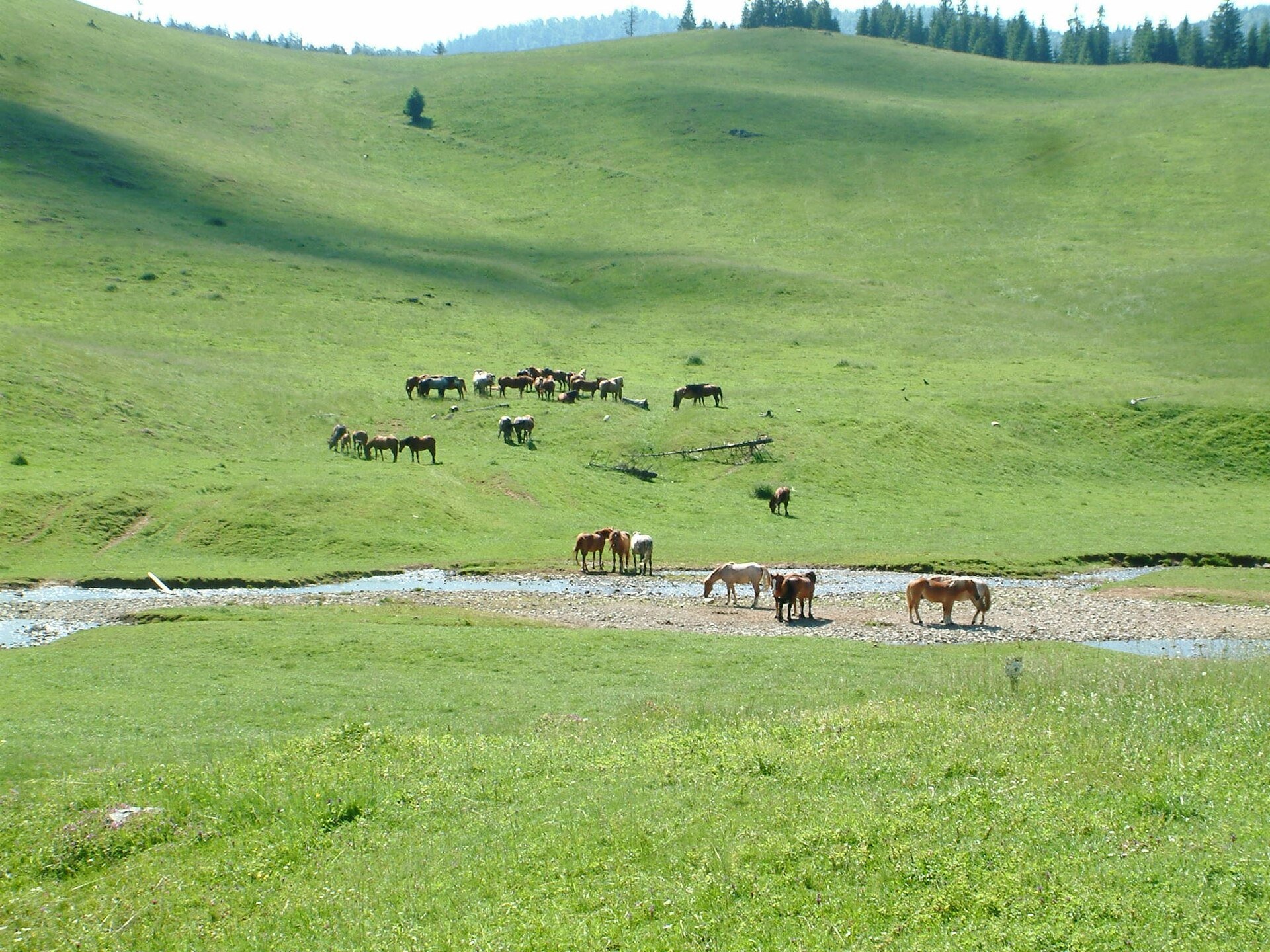
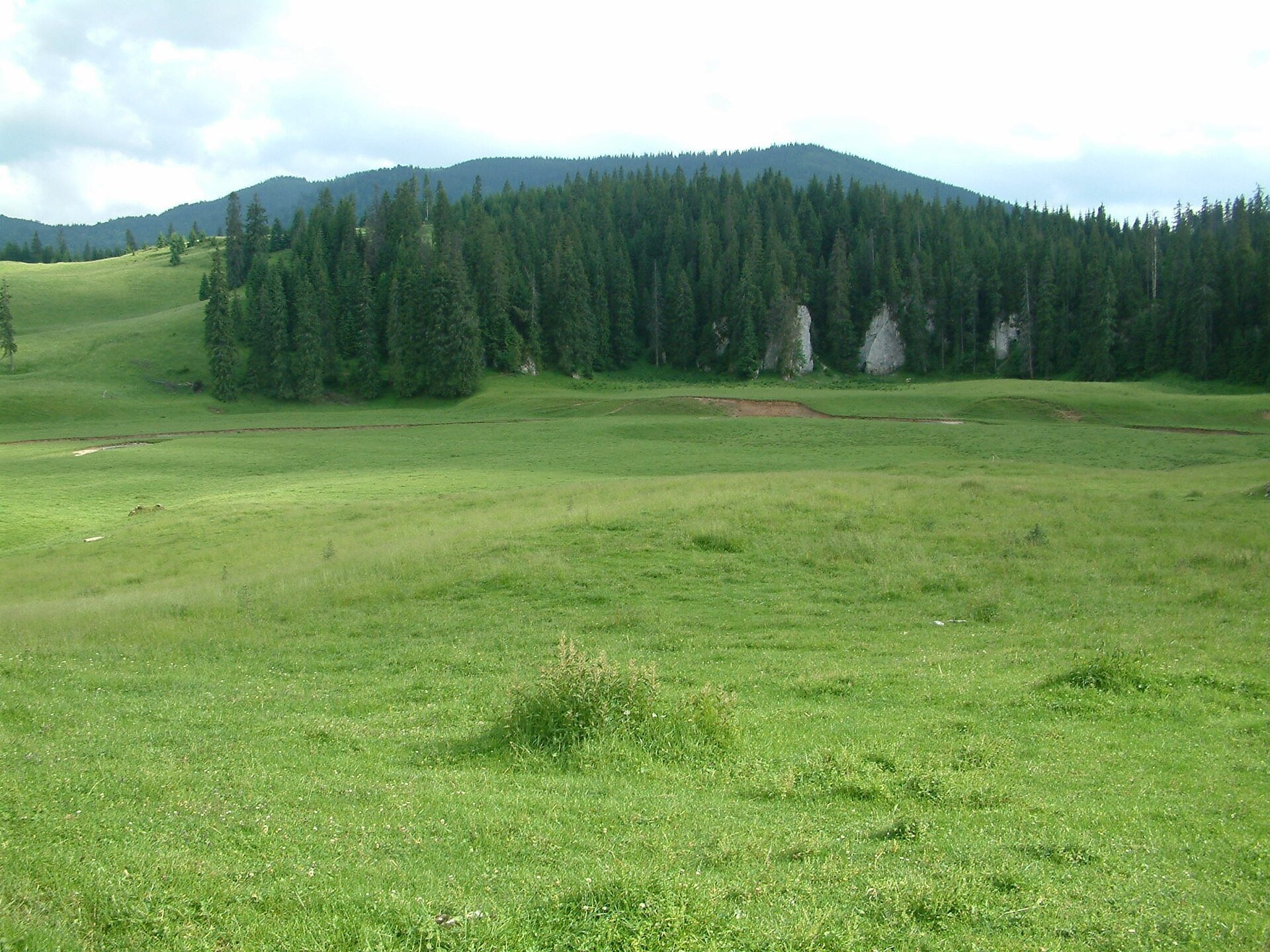
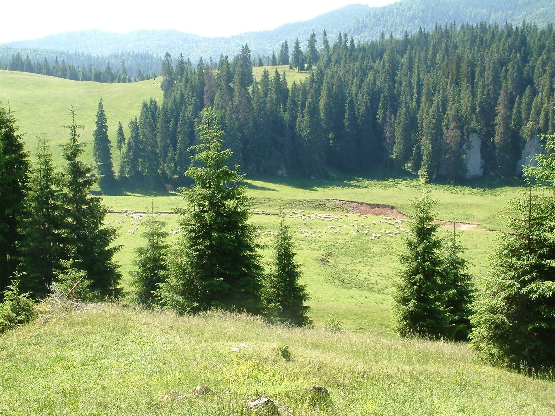
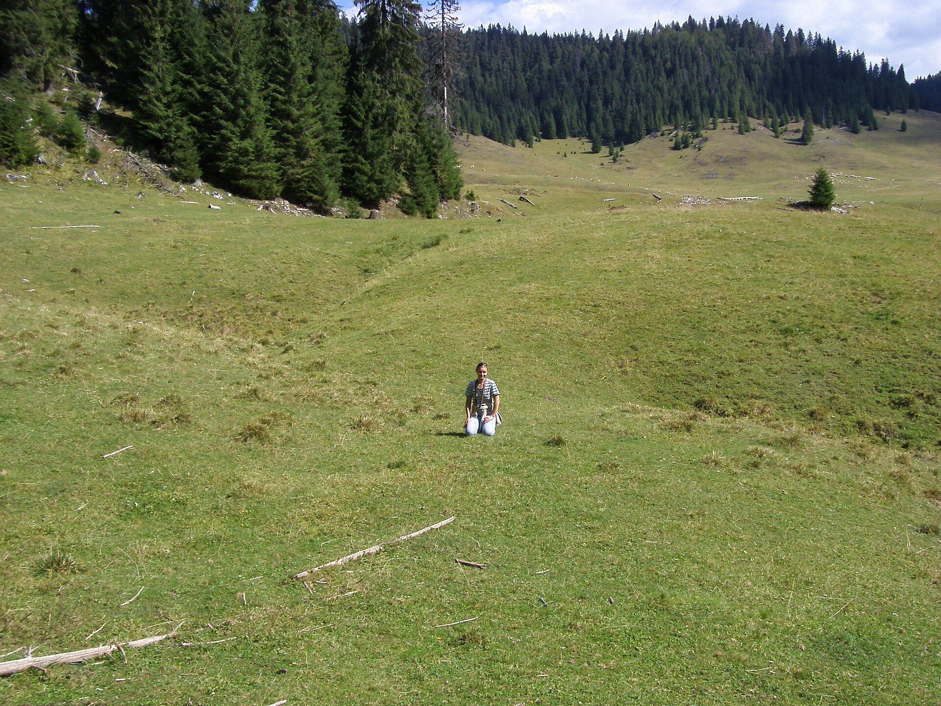
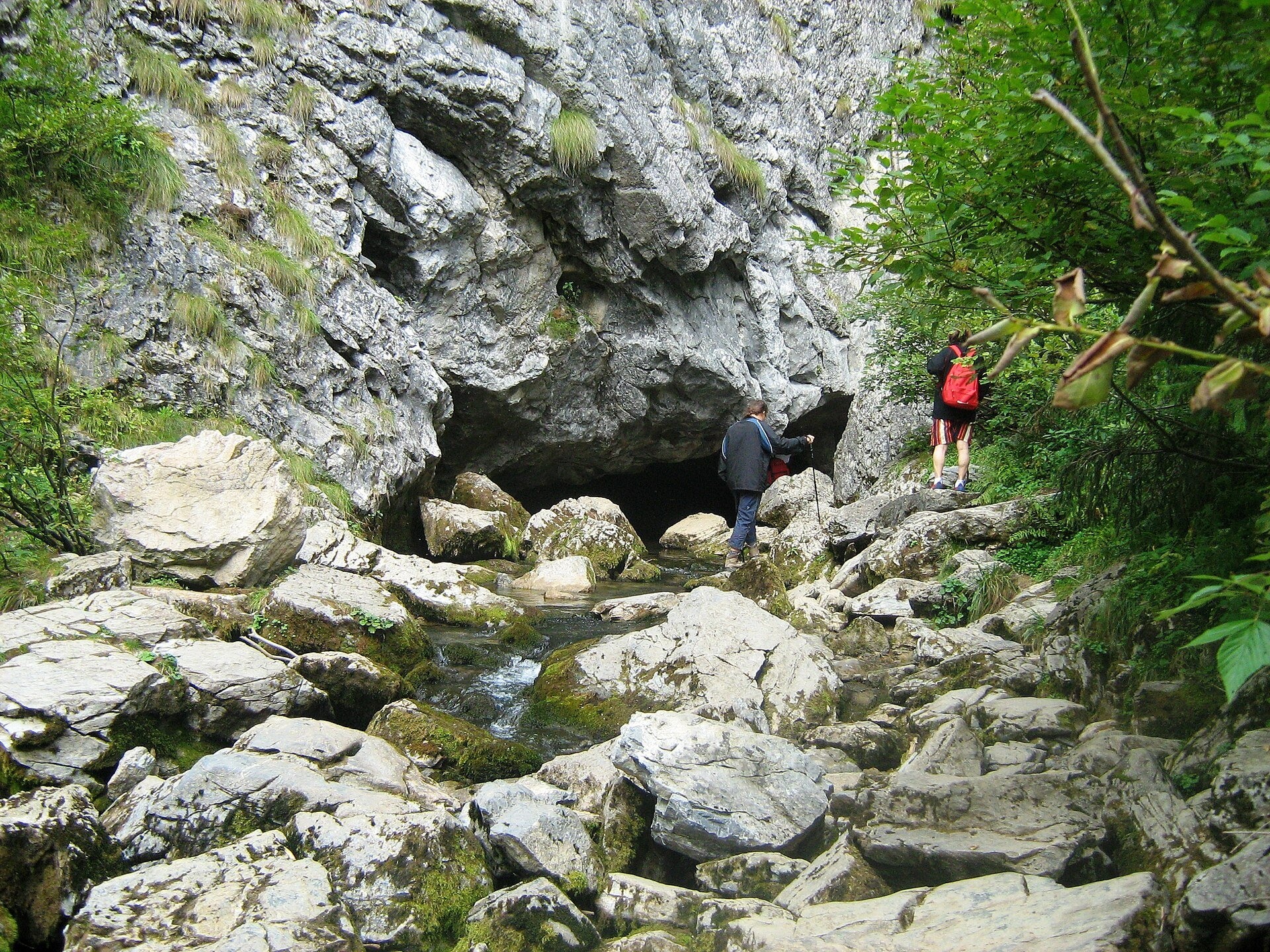
Poiana Ponor (Hungarian: Ponor-rét) is a closed karst depression on the Padiș plateau in the Bihor Mountains (Apuseni), at about 1,085 m. High, partly forested ridges surround it and its floor is covered with grass. Romanian Wikipedia calls the meadow one of the few typical poljes in the Romanian mountains; the newspaper Adevărul writes that it is the only polje in the country that is both fed and drained through underground karst channels.
The stream of the meadow rises at the Izbucul Ponor spring under a rock wall, where a small pool is fed through a siphon. The water arrives underground from the Șesul Padiș plain and from streams that sink into swallow holes higher up. After a short steep stretch the stream turns sharply right, meanders slowly for about 240 m across the flat grass and disappears into the "sorburi" — narrow openings in the bed covered with fine sand. At low water two of them work. After persistent rain or snowmelt new ones start working, and when even these cannot cope the whole meadow turns into a temporary lake; the surplus spills over a rocky sill in the north-west and runs as a violent torrent towards the Cetăților valley.
What to see and do
- The Izbucul Ponor spring — a separate branch of the path leads to it from the meadow.
- The sinkholes and the limestone wall with several caves above the place where the stream vanishes.
- The pasture — horses and flocks of sheep graze the meadow in summer; Romanian Wikipedia notes that intensive grazing harms the reserve.
- Cetățile Ponorului — the karst complex with a 74 m high portal further along the same loop.
How to get there
The meadow lies on the Cetățile Ponorului loop, marked with a blue dot (11.3 km, about 6 h 30 min for the whole loop, difficult). From the Padiș tourist complex the path crosses the Gârjoaba valley, reaches Poiana Rotundă in about an hour and then descends to Ponor. A shorter approach is from Poiana Glăvoi, one kilometre to the north-west. The loop itself has cables and metal ladders and is not recommended in winter, but an ordinary forest path leads as far as the meadow.
Season, rules and safety
The meadow is a nature reserve within Apuseni Natural Park and camping here is prohibited — in the past visitors used to pitch tents right on the stream terraces. The best time is June to September. After heavy rain and during snowmelt the grass may flood, so do not leave gear by the water and stay out of the stream bed near the sinkholes.
Bears live in the Romanian Carpathians: stay on the marked paths, never leave food by a tent or a car, and near flocks do not run from the sheepdogs — stop and walk calmly around the herd. Salvamont mountain rescue: national dispatch 0SALVAMONT — 0725 826 668 or 112; advice for hikers is on salvamontromania.ro.
Nearby
Poiana Glăvoi is the starting place of most routes, the Padiș plateau with its central Șesul Padiș plain lies to the north, and further north still is Poiana Vărășoaia.
Official website: parcapuseni.ro
Photos: Szodorai Imre [Hun], CC BY 3.0, Wikimedia Commons; Szécsi Bálint, CC BY 3.0, Wikimedia Commons; Cioboata Andrei, CC BY 3.0, Wikimedia Commons.
Getting there from Ukraine
Border crossings
- Porubne – Siret — road and pedestrian, 24/7
- Diakivtsi – Racovăț — road and pedestrian, 24/7 No freight traffic.
- Krasnoilsk – Vicovu de Sus — road and pedestrian, 08:00–20:00 Cars up to 3.5 t and pedestrians only; not 24/7.
- Solotvyno – Sighetu Marmației — road and pedestrian, 24/7 Passenger traffic only: vehicles up to 3.5 t with up to 9 seats, pedestrians.
- Diakove – Halmeu — road, 24/7 No pedestrian crossing.
By car
Rakhiv – Cluj-Napoca ≈219 km, ≈3 h 44 min (via Solotvyno – Sighetu Marmației); Ivano-Frankivsk – Cluj-Napoca ≈353 km, ≈6 h 04 min (via Solotvyno – Sighetu Marmației); Chernivtsi – Cluj-Napoca ≈343 km, ≈6 h 28 min (via Krasnoilsk – Vicovu de Sus). Times without border queues, our road routing (GraphHopper, OSM).
Checked 03.11.2026; border crossing hours and timetables change — check before you travel.
Location on the map
Water and shelter nearby
- Poiana Ponor Spring310 m · Not verified · 1 091 m
- Glăvoi Salvamont Hut890 m · Not verified · 1 088 m
- Drinking water below Varniţa890 m · Not verified · 1 088 m
- Cetățile Ponorului Hut1.1 km · Standing · 1 073 m
- Tap Water «Izvorul Rece», 1 089 m1.2 km · Not verified · 1 089 m
- Izbucul Ursului Spring1.2 km · Not verified · 1 115 m
- Spring below Dealu Călciş (east slope), 1 091 m (2)1.4 km · Not verified · 1 091 m
- Spring below Dealu Călciş (east slope), 1 091 m1.4 km · Not verified · 1 091 m
- Spring below Dealu Călciş (east slope), 1 095 m1.4 km · Not verified · 1 095 m
- Spring below Dealu Cuibuleț1.5 km · Not verified · 1 138 m
- Spring below Dealu Călciş (east slope), 1 114 m1.5 km · Not verified · 1 114 m
- Drinking water below Borțig2.7 km · Not verified · 1 277 m
Wildlife nearby
All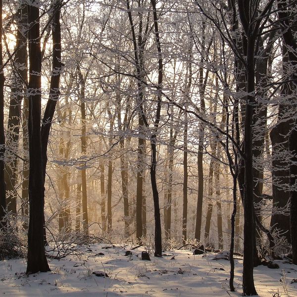
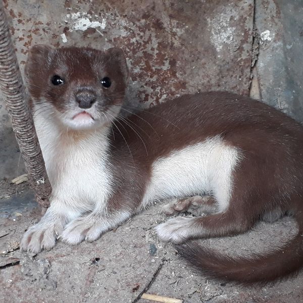
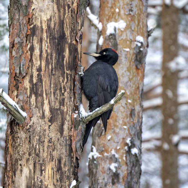
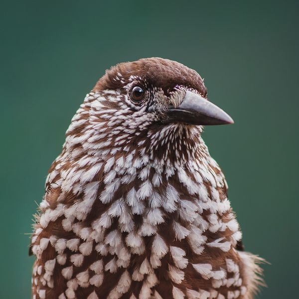
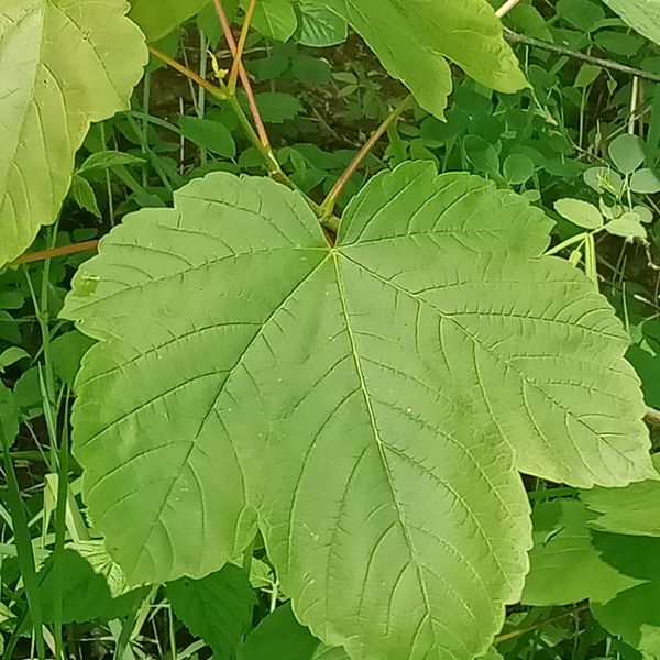
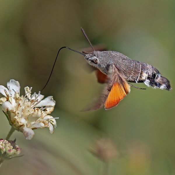
Based on naturalists’ records nearby (GBIF, iNaturalist), matched by altitude, habitat and season. Sightings are not guaranteed.
Comments
Trails nearby
All trails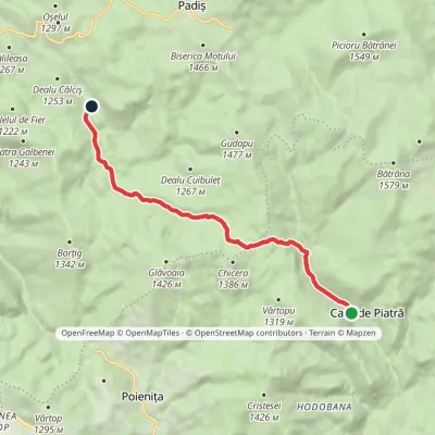 EasyOne-dayMarkedCasa de Piatră Glăvoi MeadowElevation profile1 026–1 302 m9.2 kmascent 304 m≈ 3 h walkingunder 1 km from Poiana Ponor
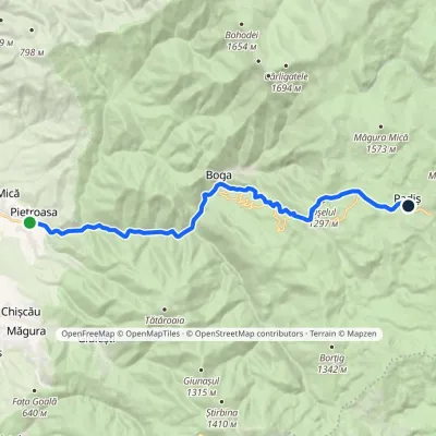 ModerateTwo-dayMarkedPietroasa PadișElevation profile322–1 298 m17.8 kmascent 1 068 m≈ 6.5 h walking2.6 km from Poiana Ponor
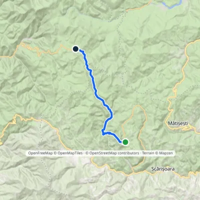 ModerateTwo-dayMarkedGhețar PadișElevation profile821–1 354 m18.3 kmascent 690 m≈ 6 h walking3 km from Poiana Ponor
Nearby attractions
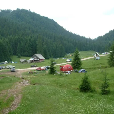 Mountain meadowPoiana GlăvoiBogaaltitude 1 086 m1.1 km from Poiana PonorPoiana Glăvoi (Hungarian: Glavoj-rét) is a broad grassy meadow on the Padiș plateau in the Bihor Mountains (Apuseni), at about 1,090 m.
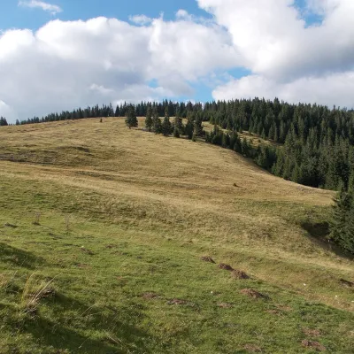 Mountain meadowPadiș PlateauPadișaltitude 1 235 m3.2 km from Poiana PonorPadiș (Hungarian: Pádis) is a karst plateau in the Bihor Mountains, part of Romania's Apuseni (Western Romanian Carpathians), in the south-east of Bihor County.
 WaterfallEvantai Waterfall (Cascada Evantai)Boga3.4 km from Poiana PonorEvantai Waterfall (Cascada Evantai, «the Fan») lies in the Galbena Gorge (Cheile Galbenei) in the Bihor Mountains, inside Apuseni Natural Park in Bihor County.
