Plotenia Trail: Velyki Lazy village — Mount Dil Yarotskyi
Trail map
Route, springs and shelters: © OpenStreetMap contributors (ODbL) · elevation: Copernicus DEM © DLR e.V., © Airbus DS · Data & licences
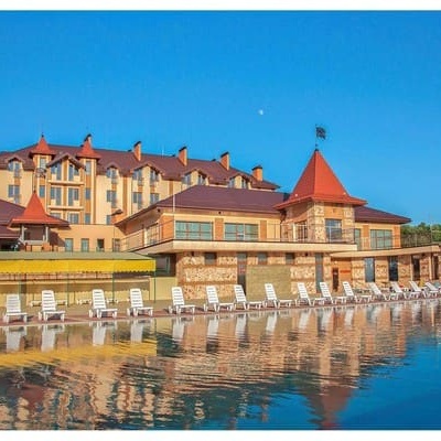
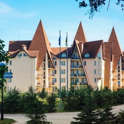
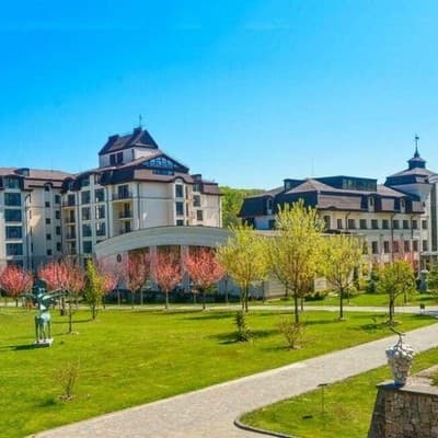
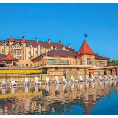
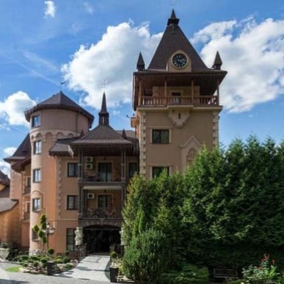
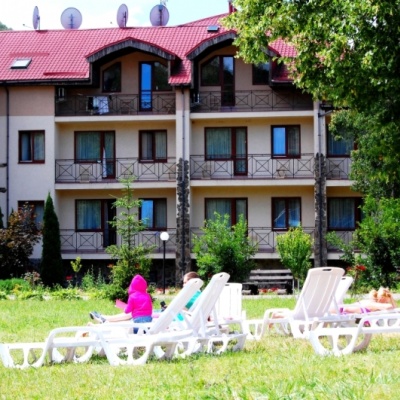
Where to stay nearby

About the trail
Route Plotenia Trail: Velyki Lazy village – Mount Dil Yarotskyi. Has green marking (regional route). Waymarking data: OpenStreetMap (© OpenStreetMap contributors, ODbL).
Officially marked regional tourist route. The marking is green, the sign is a horizontal stripe on a white background. Length of the route — 16.3 km. Location: mountain range — Volcanic Ridge, Zakarpattia region.
At a glance
A one-day route of 16.3 km with 769 m of ascent from Velyki Lazy village to Mount Dil Yarotskyi. Estimated walking time: about 5.5 h, not counting stops. Difficulty: moderate. Waymarking: green.
Route stages
- 0–13 kmGentle ups and downs at 120–380 m
- 13–16 kmClimb of 430 m (up to 801 m)
Steepest kilometre: km 15–16, a climb of 160 m (≈16%).
Water and overnight stays
Springs near the trail: at km 14 and 16. There are no springs between km 0 and 14 — carry at least 2.5 l of water. Some springs run low or dry up in late summer.
Places to stay near the start: Uzhhorod; near the finish: Antalovtsi.
When to go
The route can be walked most of the year; it is most comfortable from April to October.
Getting there
Start: Velyki Lazy village. Most places to stay near the start are in Uzhhorod. This is a one-way route: the finish is 13 km from the start in a straight line, so plan your way back in advance.
FAQ
- How long does the route take?
- Estimated walking time: about 5.5 h, not counting stops.
- Is there water on the route?
- Springs near the trail: at km 14 and 16. There are no springs between km 0 and 14 — carry at least 2.5 l of water. Some springs run low or dry up in late summer.
- Where can I stay overnight?
- Places to stay near the start: Uzhhorod; near the finish: Antalovtsi.
Water and shelter on the route
- Spring (Yarok, 6)km 14.1 from the start · 90 m off the path · Not verified · 511 m
- Spring (Yarok, 10)km 15.8 from the start · 150 m off the path · Not verified · 722 m
- Spring (Yarok, 12)km 16.2 from the start · 250 m off the path · Not verified · 762 m
Comments
Trails nearby
All trails HardTwo-dayKamianytsia village loopvia Antalovetska PolianaElevation profile172–969 m22.8 kmascent 910 m≈ 7.5 h walking
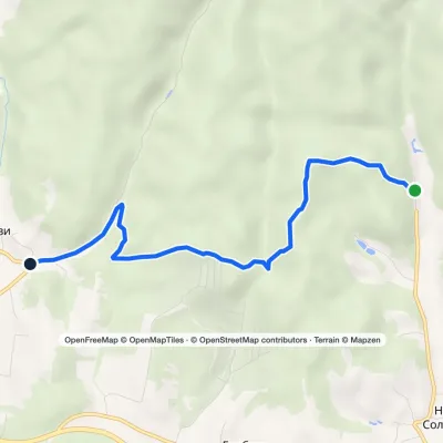 EasyOne-dayMarkedCarpathian Metro hiking routeElevation profile124–248 m5.4 kmascent 160 m≈ 1.5 h walking
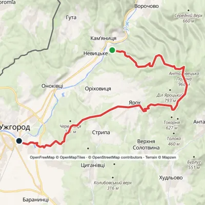 HardMulti-dayKamianytsia village to Uzhhorodvia Antalovetska Poliana, Yarok villageElevation profile117–967 m28.9 kmascent 893 m≈ 9 h walking
Craft nearby
All craft places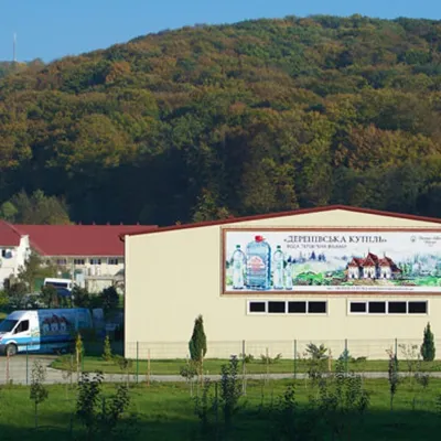 Craft producersDerenivska Kupil mineral water, Nyzhnie Solotvyno4.6 km from the trailDerenivska Kupil is a mineral water from the wellness resort of the same name in Nyzhnie Solotvyno, about 12 km from Uzhhorod.
 Craft producersZakarpatskyi Prianyk gingerbread, UzhhorodUzhhorod9.2 km from the trailZakarpatskyi Prianyk (“Transcarpathian gingerbread”) is a family bakery in Uzhhorod that has been baking honey-ginger gingerbread with natural honey since 2008.
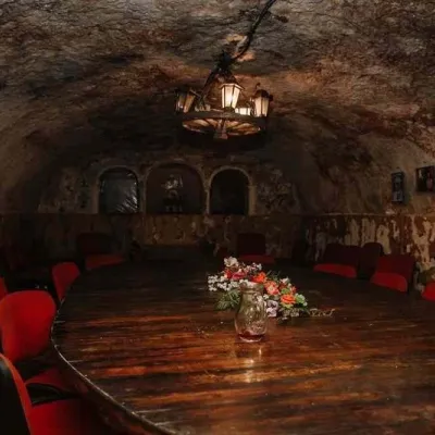 Wine & tastingsLeanka Tasting Hall and Wine Cellars, SerednieSerednie9.3 km from the trailThe Serednie wine cellars are among the oldest and most famous wine landmarks in Zakarpattia. They are run by the Leanka agricultural company, which still ages its...
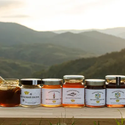 Craft producersMedovyi Krai bee-breeding farm, Velyki LuchkyUzhhorod9.3 km from the trailMedovyi Krai (“Honey Land”) is a family honey brand from Zakarpattia and at the same time a breeding farm for the Carpathian honeybee.
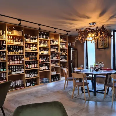 Wine & tastingsChardonnay Wine Tasting Hall, UzhhorodUzhhorod9.5 km from the trailThe Chardonnay hall (Shardone) is considered Uzhhorod's first wine tasting room. It occupies an old wine cellar in the pedestrian heart of the historic centre, not far...
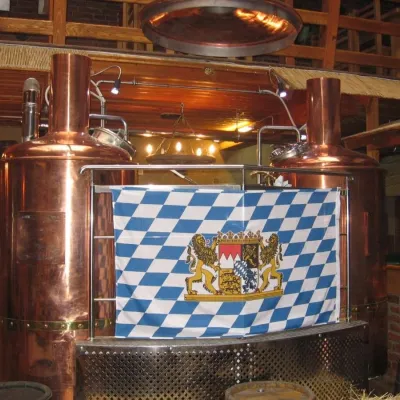 Craft beer & breweriesUngweiser Brewpub, UzhhorodUzhhorod9.5 km from the trailUngweiser is one of the best-known city brewpubs in Zakarpattia. It stands at 20 Kapushanska Street in Uzhhorod, next to the regional hospital and a relaxed five...
