Pliešky – Markovica
Trail map
Route, springs and shelters: © OpenStreetMap contributors (ODbL) · elevation: Copernicus DEM © DLR e.V., © Airbus DS · Data & licences
About the trail
Route Pliešky – Markovica. Has blue marking (local route, KST). Waymarking data: OpenStreetMap (© OpenStreetMap contributors, ODbL).
Officially marked local tourist route. The marking is blue, the sign is a triangle in the corner on a white background. Marked and maintained by: KST. Length of the route — 5.1 km. Location: mountain range — Strazhovske Mountains, Slovakia.
Attention: part of the route has not yet been mapped in OpenStreetMap, so the line on the map has gaps. On the ground, orient yourself by the marking signs.
At a glance
A short route of 5.1 km with 430 m of ascent from Pliešky to Markovica. Estimated walking time: about 2 h, not counting stops. Difficulty: easy. Waymarking: blue.
Route stages
- 0–3 kmClimb of 290 m to Pliešky (382 m)
- 3–4 kmGentle ups and downs at 470–550 m
- 4–5 kmClimb of 110 m to Markovica (592 m)
Steepest kilometre: km 2–3, a climb of 150 m (≈16%).
Water and overnight stays
Springs near the trail: at km 2 and 3.5.
When to go
The route can be walked most of the year; it is most comfortable from April to October.
Getting there
Start: Pliešky. This is a one-way route: the finish is 2 km from the start in a straight line, so plan your way back in advance.
FAQ
- How long does the route take?
- Estimated walking time: about 2 h, not counting stops.
- Is there water on the route?
- Springs near the trail: at km 2 and 3.5.
Water and shelter on the route
- Spring below Pliešky (south slope), 331 mkm 2.2 from the start · 220 m off the path · Not verified · 331 m
- Captured spring below Grófoveckm 3.8 from the start · 110 m off the path · Not verified · 444 m
Comments
Trails nearby
All trails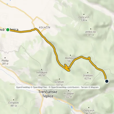 EasyOne-dayMarkedNová Dubnica Kamenné vrátaElevation profile237–578 m6.9 kmascent 342 m≈ 2.5 h walking
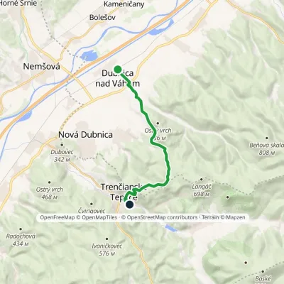 ModerateOne-dayMarkedDubnica nad Váhom Trenčianske TepliceElevation profile231–596 m10.5 kmascent 404 m≈ 3.5 h walking
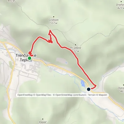 EasyOne-dayMarkedTrenčianske Teplice BaračkaElevation profile279–494 m2.9 kmascent 215 m≈ 1 h walking
Craft nearby
All craft places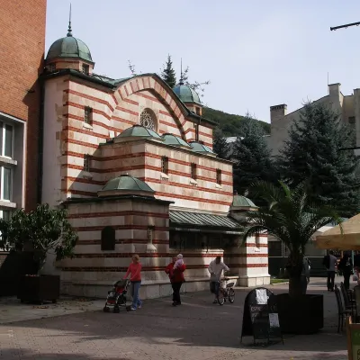 Water parks & thermal poolsTrenčianske Teplice: the Hammam and sulphur thermal bathsTrenčianske Teplice3 km from the trailTrenčianske Teplice is one of Slovakia's oldest spas, squeezed into a narrow wooded valley of the Strážov Mountains not far from Trenčín.
 Cheese dairies & pasturesSalaš Pružina: 100% sheep’s bryndza in the Strážov HillsPružina25 km from the trailPružina is a village in a picturesque valley of the Strážov Hills (Strážovské vrchy) west of Považská Bystrica.
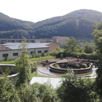 Water parks & thermal poolsNimnica: a mineral-water spa above the Nosice reservoirNimnica26 km from the trailNimnica is one of Slovakia's youngest spas, in the Váh valley between Púchov and Považská Bystrica. Its spa houses stand at about 300 m on a wooded spur of the...
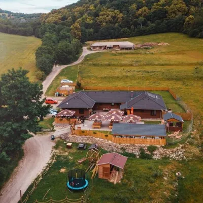 Cheese dairies & pasturesSalaš Beckov: 100% sheep’s cheese and bryndza dumplingsBeckov27 km from the trailA sheep salaš beside one of the Váh valley’s finest castles Beckov is a village in the Váh valley between Nové Mesto nad Váhom and Trenčín, overlooked by the ruins of...
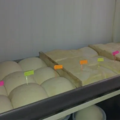 Cheese dairies & pasturesSalaš Orlové near Považská Bystrica: cheese, bryndza, žinčicaPovažská Bystrica30 km from the trailOrlové is a part of the town of Považská Bystrica on the left bank of the Váh, at the foot of hills that rise into the Strážov Hills.
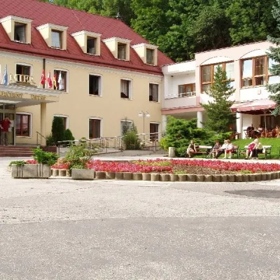 Water parks & thermal poolsBojnice Spa: thermal springs, pools and treatmentsBojnice35 km from the trailBojnice Spa (Kúpele Bojnice) lies on the edge of the town of Bojnice, about 3 km from Prievidza, in the Upper Nitra basin – at the eastern foot of the Malá Magura...
