Plavecký Peter
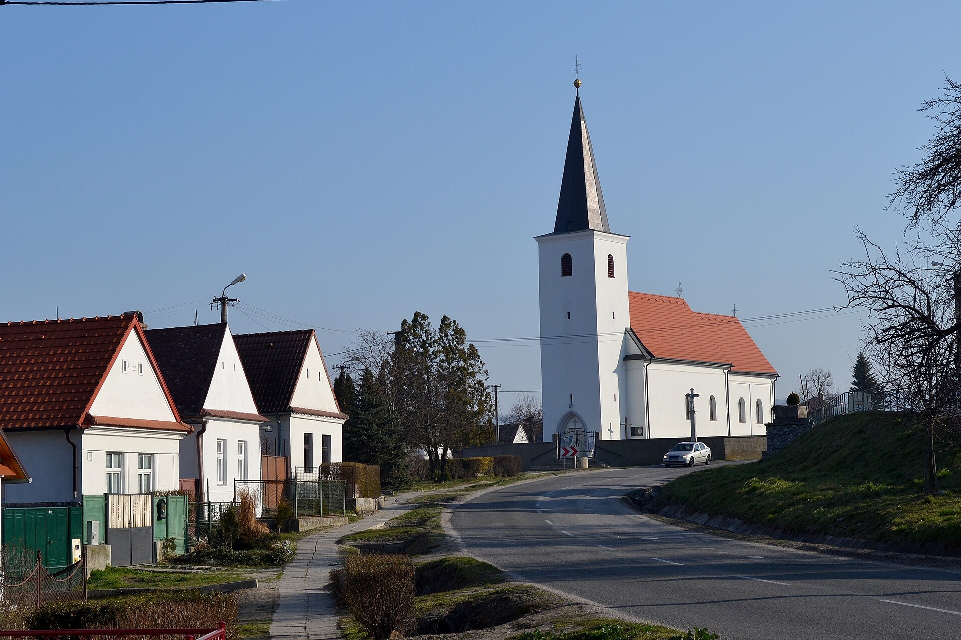
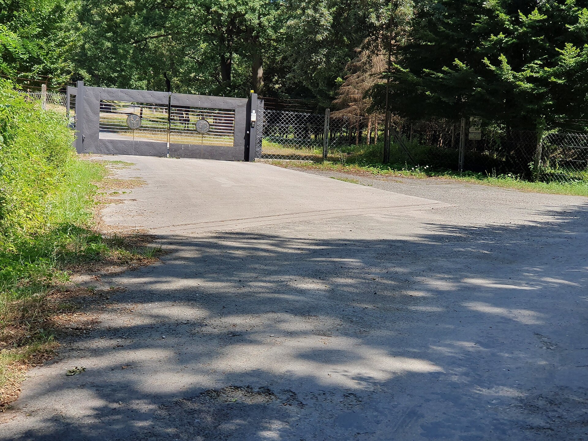
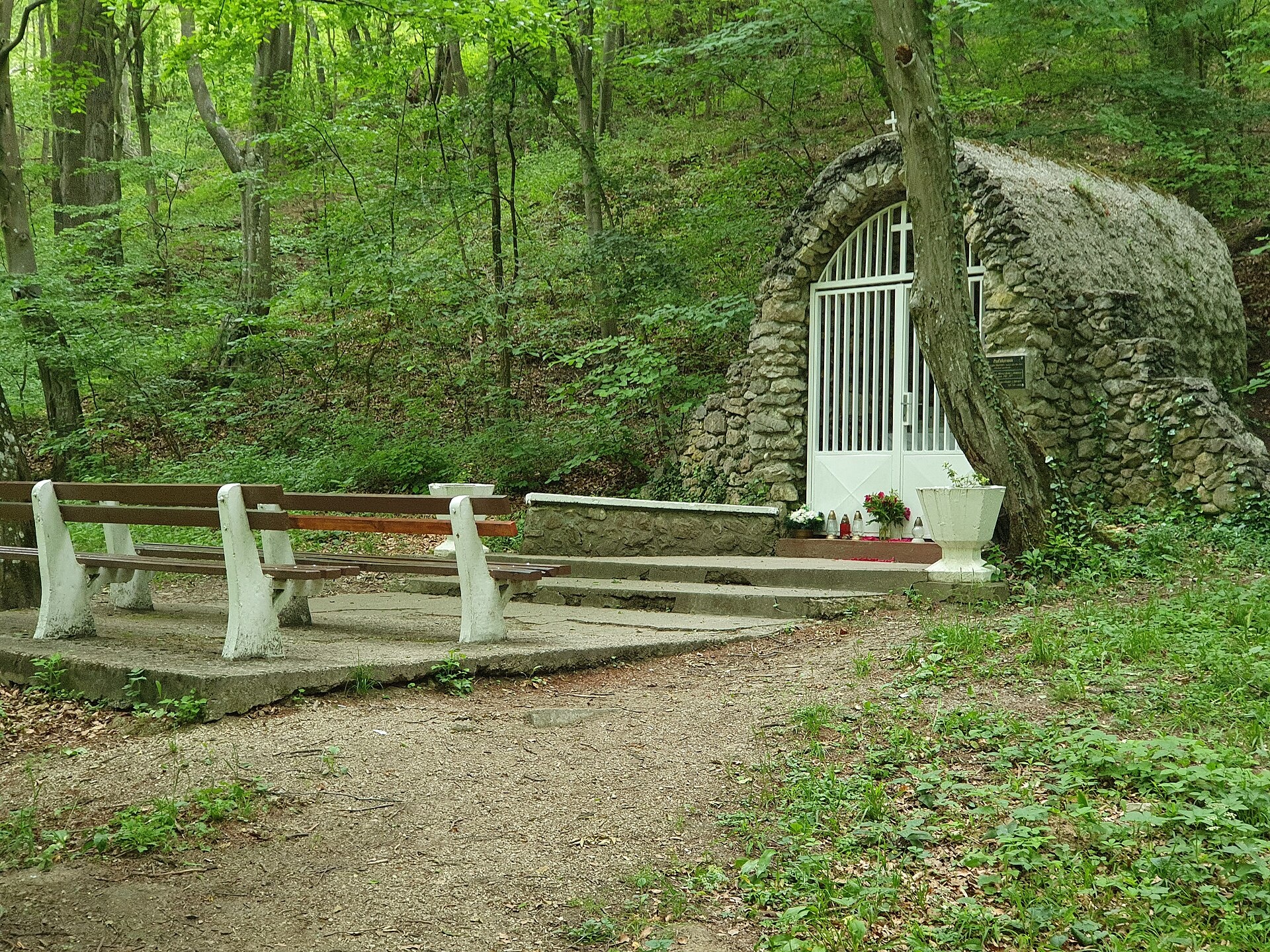
Photos: Lure, CC BY-SA 3.0 (Wikimedia Commons); Akul59, CC BY-SA 4.0 (Wikimedia Commons); Akul59, CC BY-SA 4.0 (Wikimedia Commons)
Plavecký Peter is a village in Slovakia.
Elevation: about 222 m above sea level. Population: 599 (2025). Mountains nearby: Western Carpathians.
Here and nearby on the site: 1 trail.
Facts: Wikidata, OpenStreetMap. More on Wikipedia
What's nearby
Trails nearby
All trails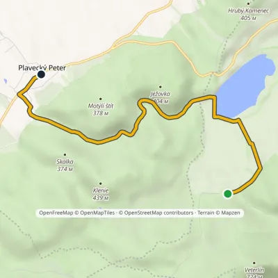 EasyOne-dayMarkedPlavecký Peter Brezinky, hutElevation profile221–360 m5.7 kmascent 9 m≈ 1.5 h walkingunder 1 km from the centre
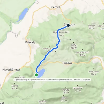 EasyOne-dayMarkedRozbehy Buková Reservoir, damElevation profile288–469 m6.4 kmascent 243 m≈ 2 h walking2.2 km from the centre
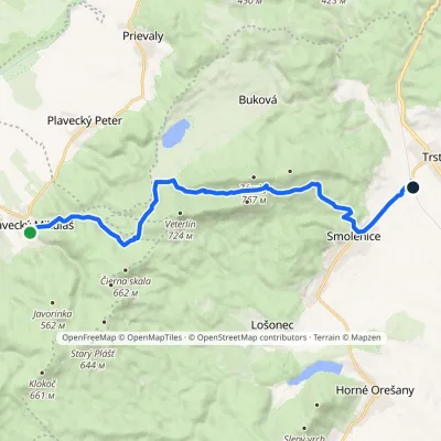 ModerateOne-dayMarkedPlavecký Mikuláš Smolenice, stationElevation profile207–651 m15.7 kmascent 552 m≈ 5 h walking2.6 km from the centre
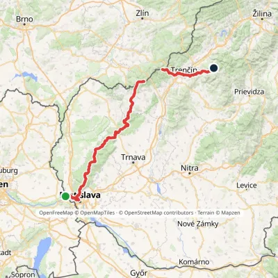 HardMulti-dayMarkedHrad Devín, parking Horná Poruba, U BrdárovElevation profile146–965 m190.1 kmascent 7 200 m2.6 km from the centre
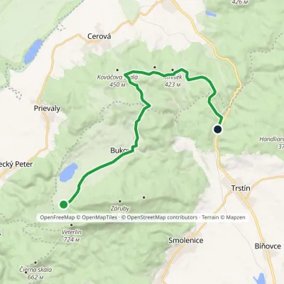 ModerateOne-dayMarkedBrezinky, hut Buková, stopElevation profile243–424 m15.2 kmascent 276 m≈ 4.5 h walking2.9 km from the centre
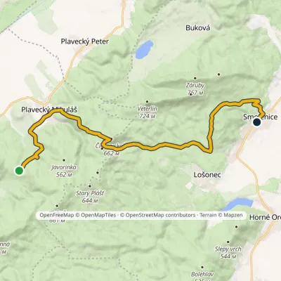 ModerateTwo-dayMarkedSedlo Báborská SmoleniceElevation profile228–660 m18.4 kmascent 577 m≈ 6 h walking3 km from the centre
Peaks nearby
All peaks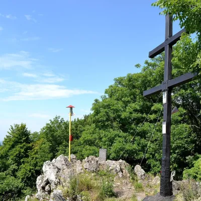 PeakZárubyBukováaltitude 767 m5.1 km from the centreZáruby (formerly also Ostrý vrch, German Scharfenstein) is the highest peak of the Little Carpathians at 767 m (some signposts say 768 m).
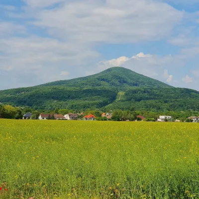 PeakHavranicaBukováaltitude 717 m6.1 km from the centreHavranica is a 717 m summit in the Little Carpathians (Malé Karpaty) in western Slovakia. It rises above the village of Smolenice, about 18 km north-west of Trnava.
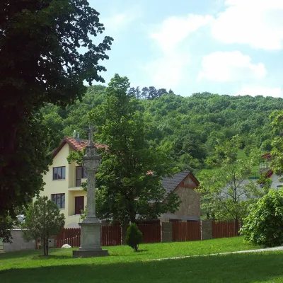 PeakMolpírSmolenicealtitude 354 m7.7 km from the centreMolpír is a low, wooded 354 m hill in the Little Carpathians (Malé Karpaty), right above the village of Smolenice in the Trnava Region of Slovakia.
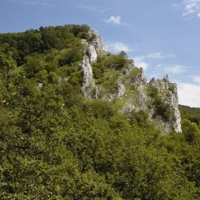 PeakVápennáSološnicaaltitude 752 m9.3 km from the centreVápenná (also Roštún; German Rachsthurn) is a 752 m summit and the third highest peak of the Little Carpathians.
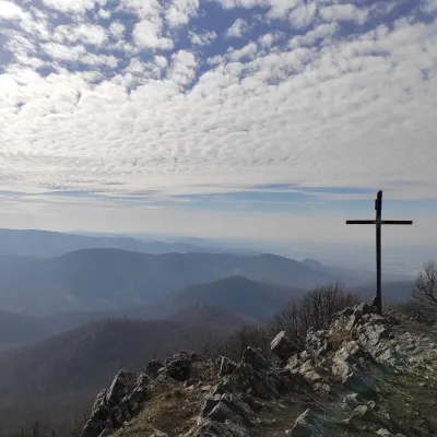 PeakVysoká (Little Carpathians)Kuchyňaaltitude 754 m15 km from the centreVysoká is the second-highest summit of the Little Carpathians after Záruby. Slovak geodetic data give it 754.3 m; some other sources state 759 m.
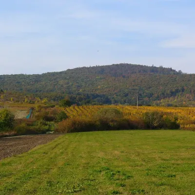 PeakKuklaDubováaltitude 564 m17 km from the centreKukla is a distinctive, solitary 564 m summit in the Little Carpathians (Malé Karpaty) in western Slovakia, in the section known as the Pezinok Carpathians.
What to visit
All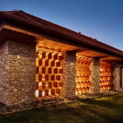 Honey & meaderiesVčelovina meadery, Smolenice: mead and honey beerSmolenice8.7 km from the centreThis is where the Včelovina meadery works — “a small production with a big heart”, as its founders put it.
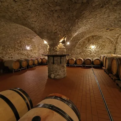 Wine & tastingsMagula Winery, Suchá nad Parnou: biodynamic wines and a farmSuchá nad Parnou18 km from the centreSuchá nad Parnou is a wine village on the south-eastern slopes of the Little Carpathians, near Trnava.
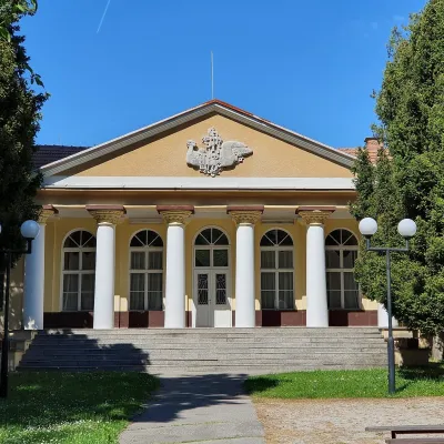 Water parks & thermal poolsSmrdáky: a hydrogen-sulphide spa for skin diseasesSmrdáky21 km from the centreSmrdáky is a small spa village in western Slovakia, on the edge of the Záhorie Lowland and the foothills of the White Carpathians, about 7 km from Senica and 80 km...
Craft nearby
All craft places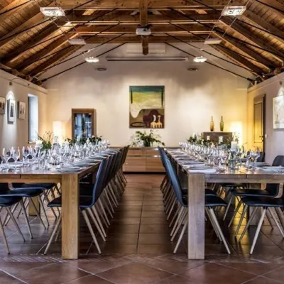 Wine & tastingsKarpatská Perla winery in Šenkvice: tastings and cellarŠenkvice26 km from the centreFrom a home cellar to Winery of the Year Šenkvice is a wine village on the plain below the eastern slopes of the Little Carpathians, between Pezinok and Modra.
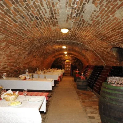 Wine & tastingsHACAJ winery in Pezinok: sparkling wine in a 300-year-old cellarPezinok28 km from the centrePezinok is the centre of the Little Carpathian Wine Route, a town where winegrowers’ houses with deep cellars line the old streets.
Spas and thermal pools nearby
Huts, shelters and springs nearby
Getting there from Ukraine
Border crossings
- Uzhhorod – Vyšné Nemecké — road, 24/7
- Malyi Bereznyi – Ubľa — road, 24/7 For cars and buses; pedestrians not confirmed by the Ukrainian border service, lorries up to 3.5 t.
- Mali Selmentsi – Veľké Slemence (pedestrian) — pedestrian, 09:00–21:00 Kyiv time Pedestrians and cyclists only; inconvenient for the Tatras without onward transport.
- Chop – Čierna nad Tisou (rail) — rail, 24/7
By car
From Uzhhorod to Žilina ≈330 km, ≈4 h 20 min without queues: Uzhhorod – Vyšné Nemecké → I/19 to Košice → D1 via Prešov, Poprad, Liptovský Mikuláš and Ružomberok (≈17 km on I/18 between D1 sections) → Žilina. To Terchová ≈314 km, ≈4 h 15 min: from the D1 onto I/70 and II/583. From Lviv through Poland: M-10 → Krakovets – Korczowa → A4 to Kraków → S7/DK7 to Chyżne – Trstená → R3, I/59 to Dolný Kubín → II/583 via Terchová to Žilina: to Terchová ≈493 km (≈6 h 30 min), to Žilina ≈518 km (≈7 h). Via the tolled A4 Kraków – Katowice, S1 and D3: ≈533 km, ≈6 h 35 min. The D1 requires an e-vignette (eznamka.sk).
Checked 23.10.2026; border crossing hours and timetables change — check before you travel.
