Cormaia – La Cărți
Trail map
Route, springs and shelters: © OpenStreetMap contributors (ODbL) · elevation: Copernicus DEM © DLR e.V., © Airbus DS · Data & licences
About the trail
Route Cormaia – La Cărți. Has red marking (local route). Waymarking data: OpenStreetMap (© OpenStreetMap contributors, ODbL).
Marked local tourist route. Marking is red, sign — a circle on a white background. Length of the route — 16.2 km. Location: mountain range — Rodna, Romania. The route passes through the National Park "Rodna Mountains". Walking is allowed only on marked trails, campfires in the alpine zone and in the forest are prohibited, dogs must be on a leash, tents can only be set up in designated areas.
At a glance
A one-day route of 16.2 km with 1,767 m of ascent from Cormaia to La Cărți. Estimated walking time: about 7 h, not counting stops. Difficulty: hard. Waymarking: red.
Route stages
- 0–6 kmClimb of 1,190 m (up to 1,804 m)
- 6–16 kmAlong the ridge at 1,540–1,850 m
Steepest kilometre: km 2–3, a climb of 330 m (≈33%).
Water and overnight stays
Springs near the trail: at km 15 and 16. There are no springs between km 0 and 15 — carry at least 3.5 l of water.
Huts and shelters near the trail: La Cărți Hut (km 16).
When to go
Best time: June to September. In winter only for experienced hikers with proper gear: avalanche danger is possible. About 13 km of the route runs above 1,500 m, where the weather changes quickly — check the forecast.
Getting there
Start: Cormaia. This is a one-way route: the finish is 13 km from the start in a straight line, so plan your way back in advance.
FAQ
- How long does the route take?
- Estimated walking time: about 7 h, not counting stops.
- Is there water on the route?
- Springs near the trail: at km 15 and 16. There are no springs between km 0 and 15 — carry at least 3.5 l of water.
- Where can I stay overnight?
- Huts and shelters near the trail: La Cărți Hut (km 16).
Water and shelter on the route
- Spring below Repedekm 14.7 from the start · Not verified · 1 830 m
- La Cărți Hutkm 16.2 from the start · 60 m off the path · Not verified · 1 875 m
- La Carti Springkm 16.2 from the start · 50 m off the path · Not verified · 1 820 m
Wildlife along the route
All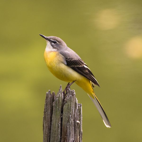
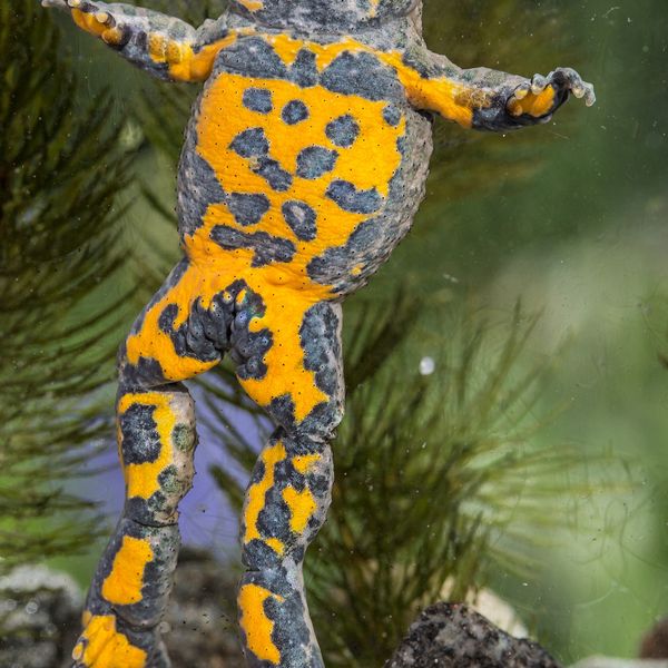
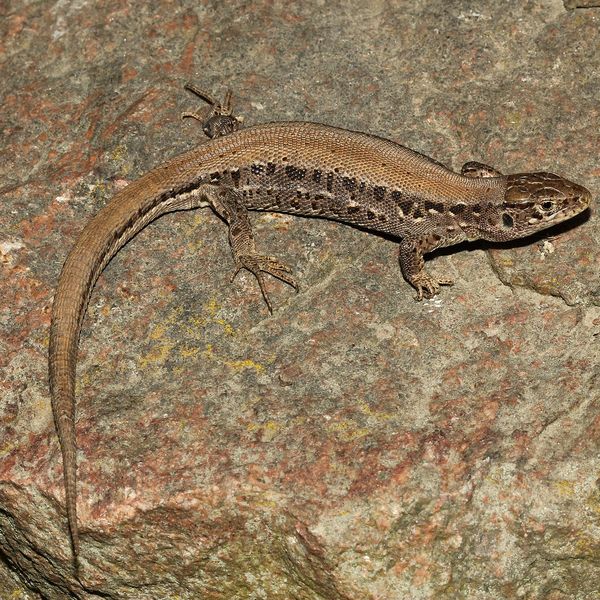
Based on naturalists’ records nearby (GBIF, iNaturalist), matched by altitude, habitat and season. Sightings are not guaranteed.
Comments
Trails nearby
All trails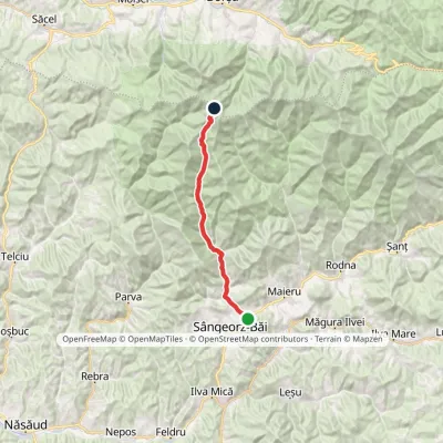 Hard1–2 daysMarkedCormaia Obârșia Rebrii SaddleElevation profile453–2 006 m24.7 kmascent 1 569 m≈ 9.5 h walking
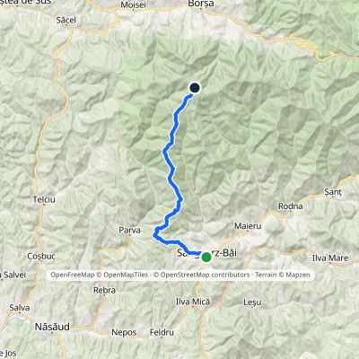 HardMulti-dayMarkedSângeorz-Băi Obârșia Rebrii SaddleElevation profile437–2 024 m33.5 kmascent 2 738 m≈ 14 h walking
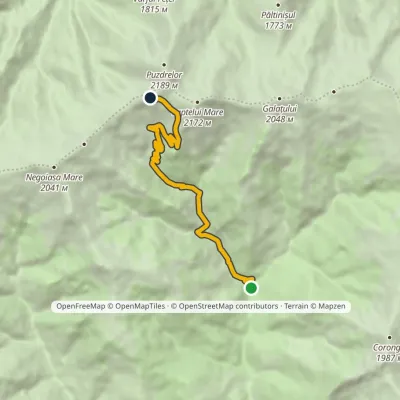 ModerateOne-dayMarkedÎntre Izvoare Tarnița BârsanuluiElevation profile829–1 998 m9.6 kmascent 1 169 m≈ 4.5 h walking
